Circuit du Roc Nantais
Loop of 30.1 km with 1,368 m of climbing, starting from Nant.
- distance
- 30.1 km
- elevation gain
- 1,368 m
- high point
- 860 m
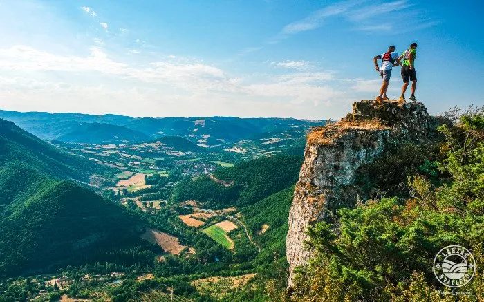
The hike
A circuit which evolves through the causses: on the Causse du Larzac, then the Causse Noir and finally the Causse Bégon.
A rather long but accessible route. Provide a water reserve of 1,5l, energy reserve and rain jacket
1 - From the place du Claux go towards the place St-Jacques to take the path of Vernèdes Hautes which leads to the RD178, follow it to the left for 500m. Then take on the right, the Vallongue ravine (it bears its name well), the first ascent which leads to the Larzac plateau (it is also the GR71D).
2 - Once on the Causse, we walk in full stride from farm to farm. Do not hesitate to take the time to admire the architecture of the Causse at Baylet, L'Aubiguier (why not make a detour to Aires and Homs). The hamlet of St-Sauveur is the first step before plunging into the valley to go back up to Revens by a very beautiful built path.
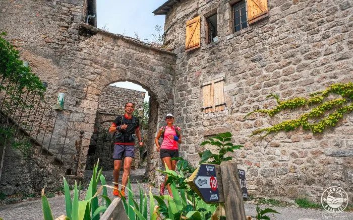
3 - From Revens, we head for the famous descent of Cantobre, a very beautiful "trail" spot where we can work on all our trail skills. A visit to Cantobre is a must. The site is remarkable, magnificent hamlet perched on its rock.
4 - Then we start the final part, well known to runners, namely the famous ascent of the Roc Nantais and the equally famous technical descent of the Roc Nantais, this beautiful cliff overlooking Nant.
Find all the trail circuits of Larzac and the Valleys by clicking here
More hikes nearby
-
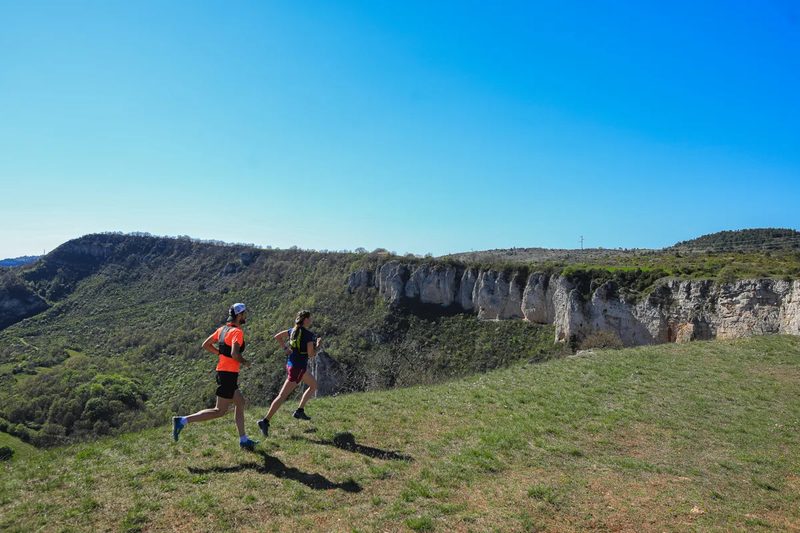 Trail running N°26 : Roquefort – Combalou
Roquefort-sur-Soulzon · Causse du Larzac
18.2 km · 779 m D+ · Loop
-
 Château du Tournel
Mont Lozère et Goulet · Mont Lozère
20.5 km · 811 m D+ · Loop
-
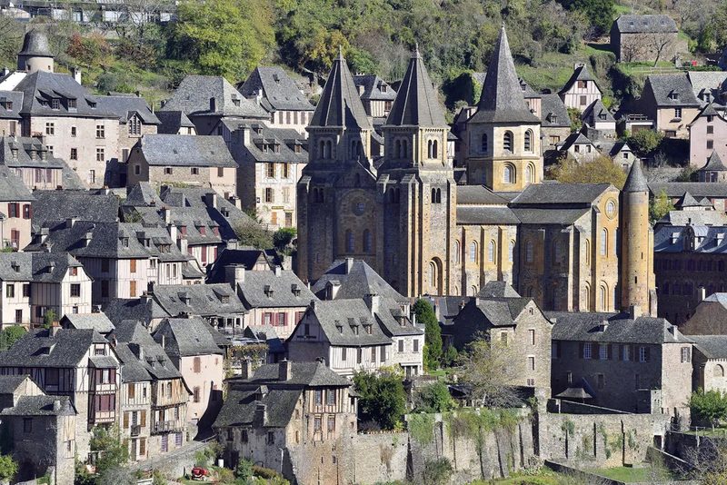 Conques – Le chemin de Dadon
Conques-en-Rouergue · Vallée du Lot
19.9 km · 970 m D+ · Loop
-
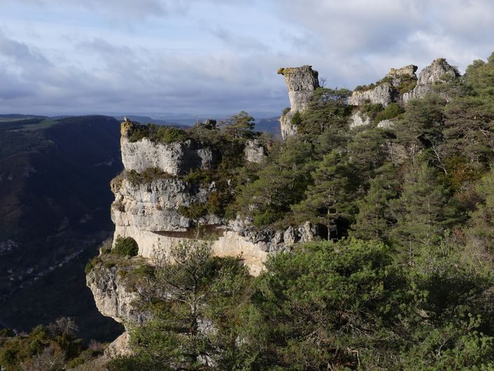 Corniches du Méjean
Le Rozier · Causse Méjean
11.4 km · 571 m D+ · Loop
-
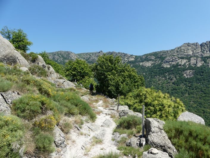 Gourdouze
Vialas · Mont Lozère
14.2 km · 893 m D+ · Loop
-
 Grand-Vabre
Conques-en-Rouergue · Vallée du Lot
21.1 km · 912 m D+ · Loop