Trail running, finally legible on your wrist
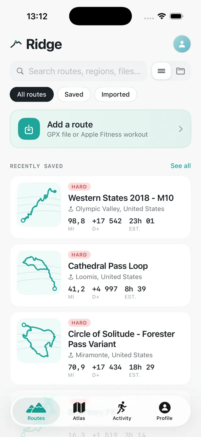
Ridge is a GPX navigator built Watch-first. Drop in a route, push start on your wrist - the phone stays in your pocket from km 0 to km 22.5.
What Ridge does, and does well
Watch-first navigation
Big numbers, one accent colour, no menu spelunking. Always-on and dimmed between glances, with a single haptic the moment you drift off the trace.
Notes that tap your wrist
Pin a note to any point on a route - "last water before the crête", "left fork is a dead end". It buzzes your Watch as you approach.
Your old runs, rescued Pro
Import a past outing from Apple Fitness or Strava and turn it into a GPX route. That ridge line you improvised last summer becomes a route you can navigate again.

Atlas - all your traces on one map
Every route and activity you own, clustered wherever you ran them. Zoom into Annecy and your whole history is there; zoom out and see the massifs you haven’t touched yet.
Read the climbs before you run them Pro
The elevation profile and the trace on the map are coloured by gradient. A glance tells you where the wall is - not just that there’s 1 142 m of it somewhere.
IGN maps in your pocket, off the network Pro
Download a route’s map before you leave. Deep in a valley, with no data and no phone, the map stays drawn under your trace.
Draw your own route Pro
Tap points on the map: the route follows the trails, or runs in a straight line where there are none. Any route edits the same way, imported GPX files included.
Discover - hikes ready to go
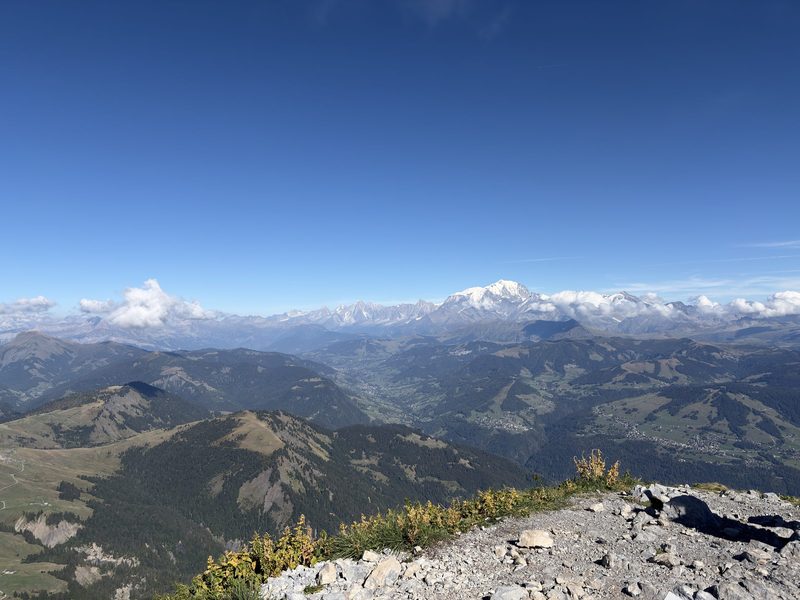
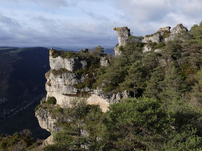
A tab of hikes in France, with photos, distance, elevation gain and high point. Add one to your routes and it is on your Watch.

From a share sheet to your wrist
A GPX from mail, Files or a friend opens straight into Ridge and syncs to the Watch. No cable, no export step, no web account in the middle.
Free is enough for most. Pro when you go further
Unlimited routes, full navigation on the wrist, notes and your whole history, with no account and no time limit. Pro is for the day you head off-network, or want to draw and edit your own routes. By the month, by the year, or once and for all.
Real navigation, unlimited routes, no account.

- Unlimited routes in your library
- Unlimited recorded activities & history
- Watch-first navigation & off-route alerts
- Configurable off-route distance (15 / 25 / 40 m)
- Trail notes on your wrist
- Share routes by link, export GPX
- Atlas - all your traces on one map
- Online maps only (needs signal)
Offline maps and routes you draw yourself. Pick how you pay.
- Everything in Ridge
- Offline IGN maps
- Route drawing & editing, snapped to the trails
- Slope-coloured route trace
- Hour-by-hour weather at the start
- Apple Fitness & Strava imports
Frequent questions
Why not just use Garmin Connect with an Apple Watch?
Does it work without signal?
Is Pro a subscription?
Do I need an account?
Which Watch and iPhone do I need?
Can the Watch follow a route without the iPhone?
How do I share a route with a friend?
Does Ridge work outside France?
Your next route is one share sheet away
Ridge is free to download and free to keep. Import a GPX, push start on your wrist, and see how a modern trail navigator feels.
No account · Free to keep · Pro from $2.99 a month, or $29.99 once