Randonnée au détour du Breitenwasen
Loop of 13.4 km with 421 m of climbing, starting from Niederbronn-les-Bains.
- distance
- 13.4 km
- elevation gain
- 421 m
- high point
- 580 m
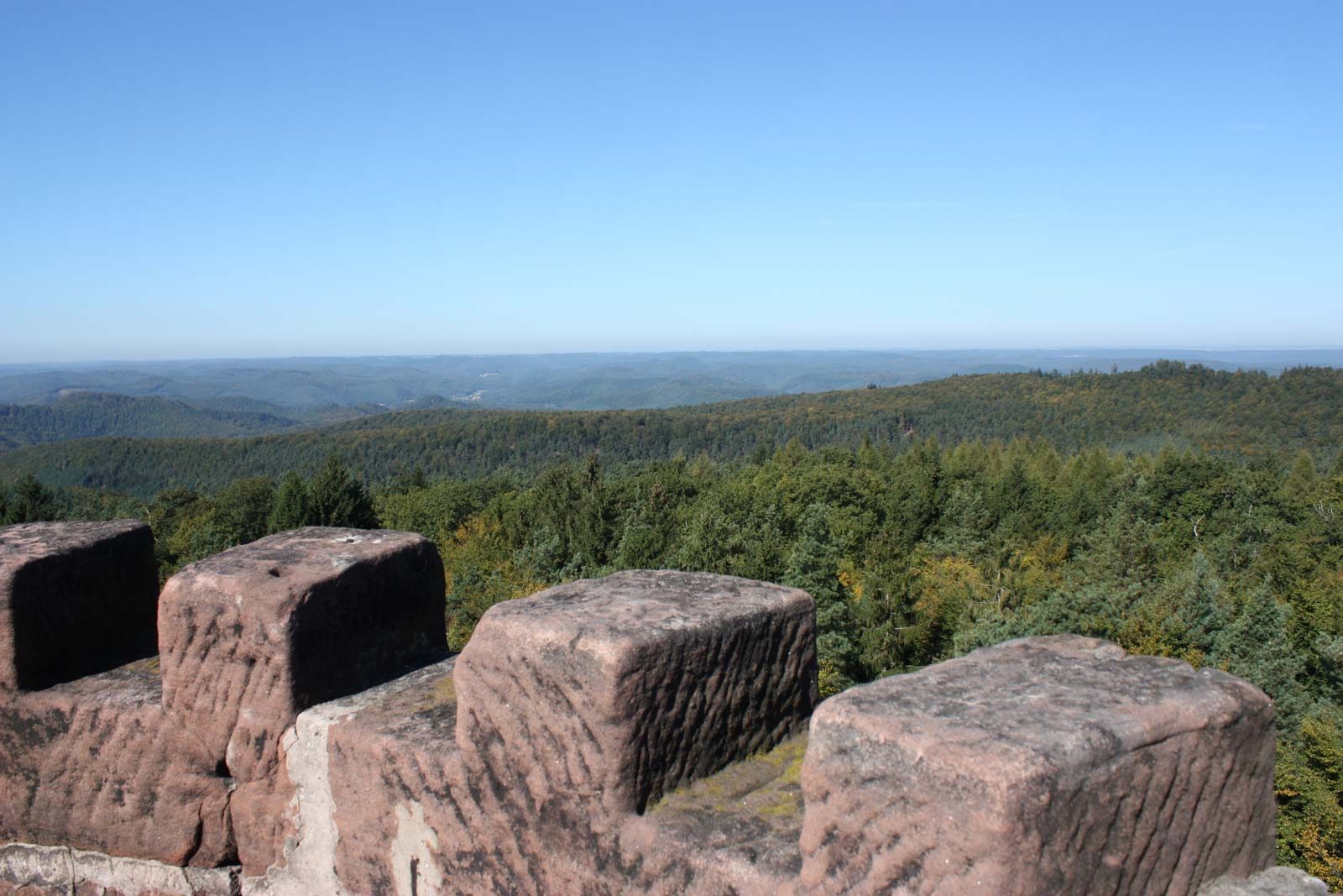
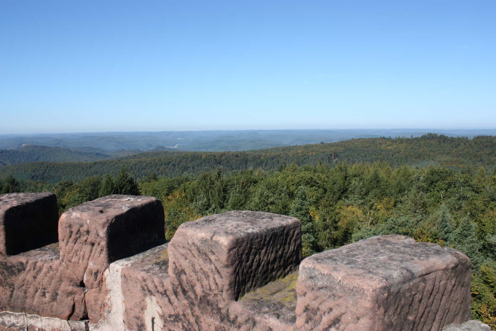
The hike
This superb hike starts in the valley and leads you to the highest point of the Northern Vosges: the Grand Wintersberg
Once at the summit, there are several possibilities for the return journey: follow the GR53 route, take the red triangle towards Lichteneck, or the blue one through the Durschbach valley
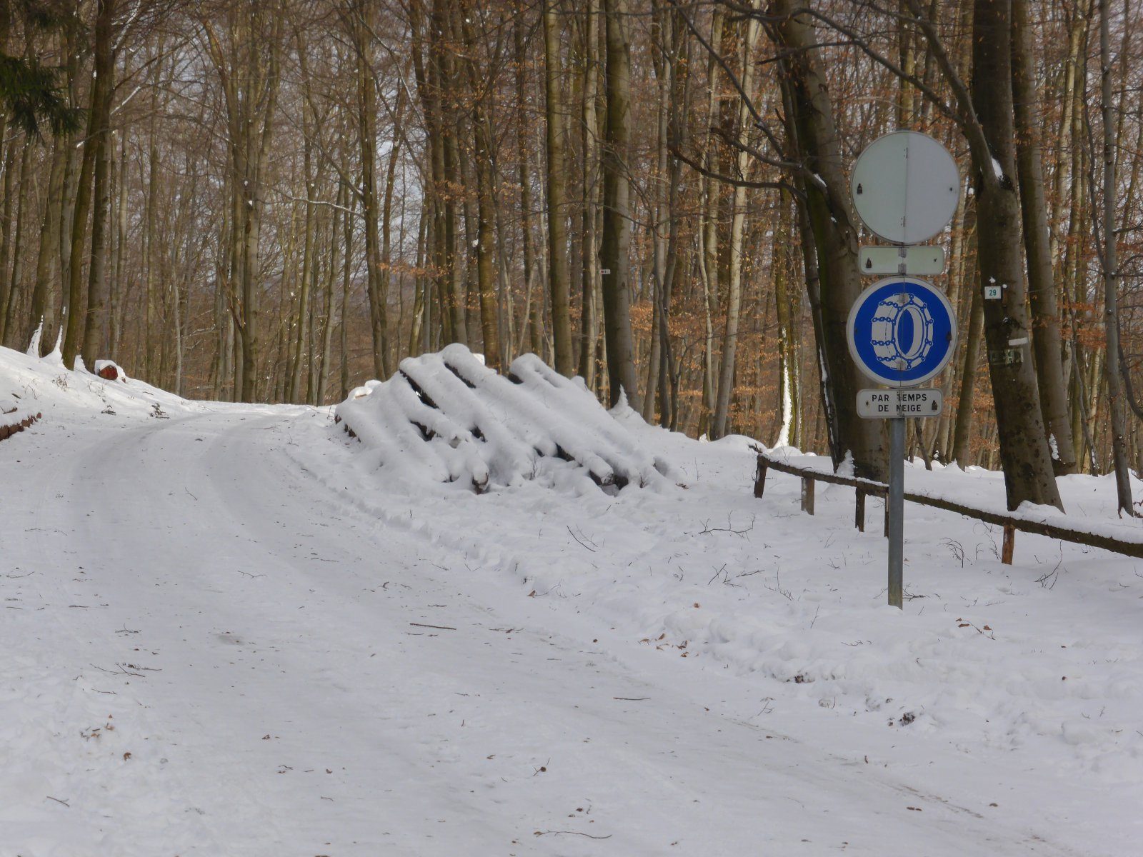
Departure to the city centre of Niederbronn-les-Bains - avenue de la Libération - pass under the railway bridge in front of the miniature golf course - allée des Tilleuls - rue Charles Mathis - follow the main signposting along the Falkensteinerbach stream to Breitenwasen - cross the N62 - pass the Riesthal forest house - Rockenberg - Grand Wintersberg - return to Niederbronn-les-Bains by the variant of your choice.
More hikes nearby
-
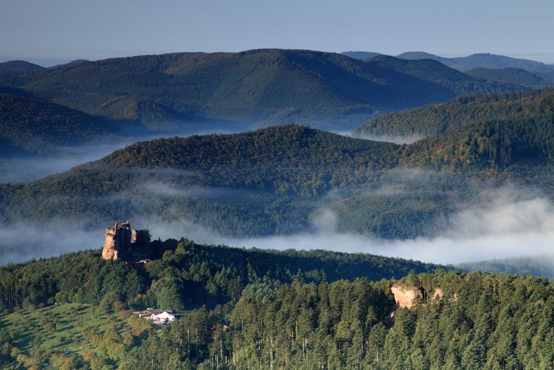 Circuit de randonnée de château en château
Lembach · Vosges du Nord
33.2 km · 1,251 m D+ · Loop
-
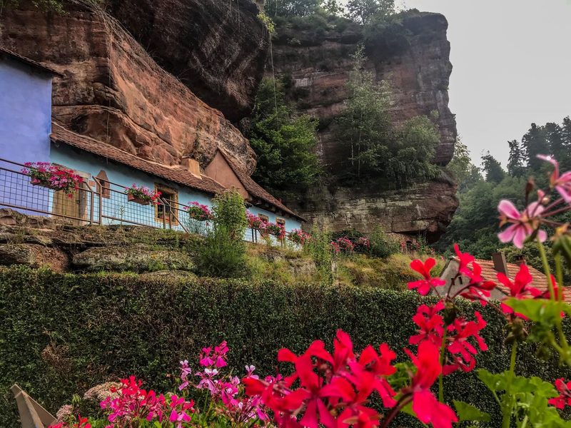 Le sentier des maisons des rochers
La Petite-Pierre · Vosges du Nord
20.1 km · 466 m D+ · Loop
-
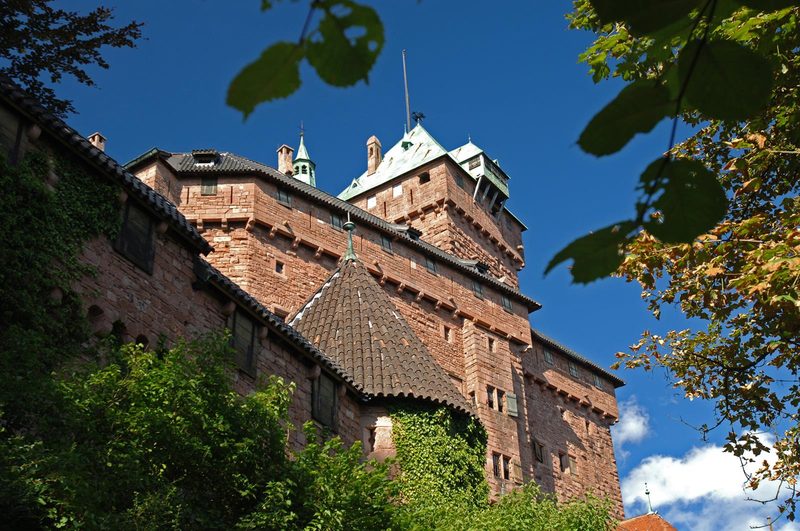 À l'assaut du Haut-Koenigsbourg
Kintzheim · Vosges
10.1 km · 382 m D+ · Loop
-
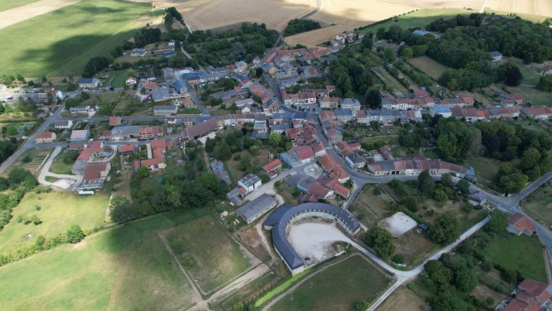 À la découverte de Buzancy
Buzancy · Ardennes
5.1 km · 24 m D+ · Loop
-
 Boucle de la Chambre aux loups
Vouziers · Ardennes
9.3 km · 65 m D+ · Loop
-
 Boucle des Moulins
Boucq · Côtes de Toul
17.9 km · 146 m D+ · Loop