Circuit autour du Mont Touleur
Loop of 13.4 km with 379 m of climbing, starting from Larochemillay.
- distance
- 13.4 km
- elevation gain
- 379 m
- high point
- 532 m
0
317 m – 532 m
13.4 km
< 4 %4–8 %8–12 %12–18 %18–25 %> 25 %
The hike
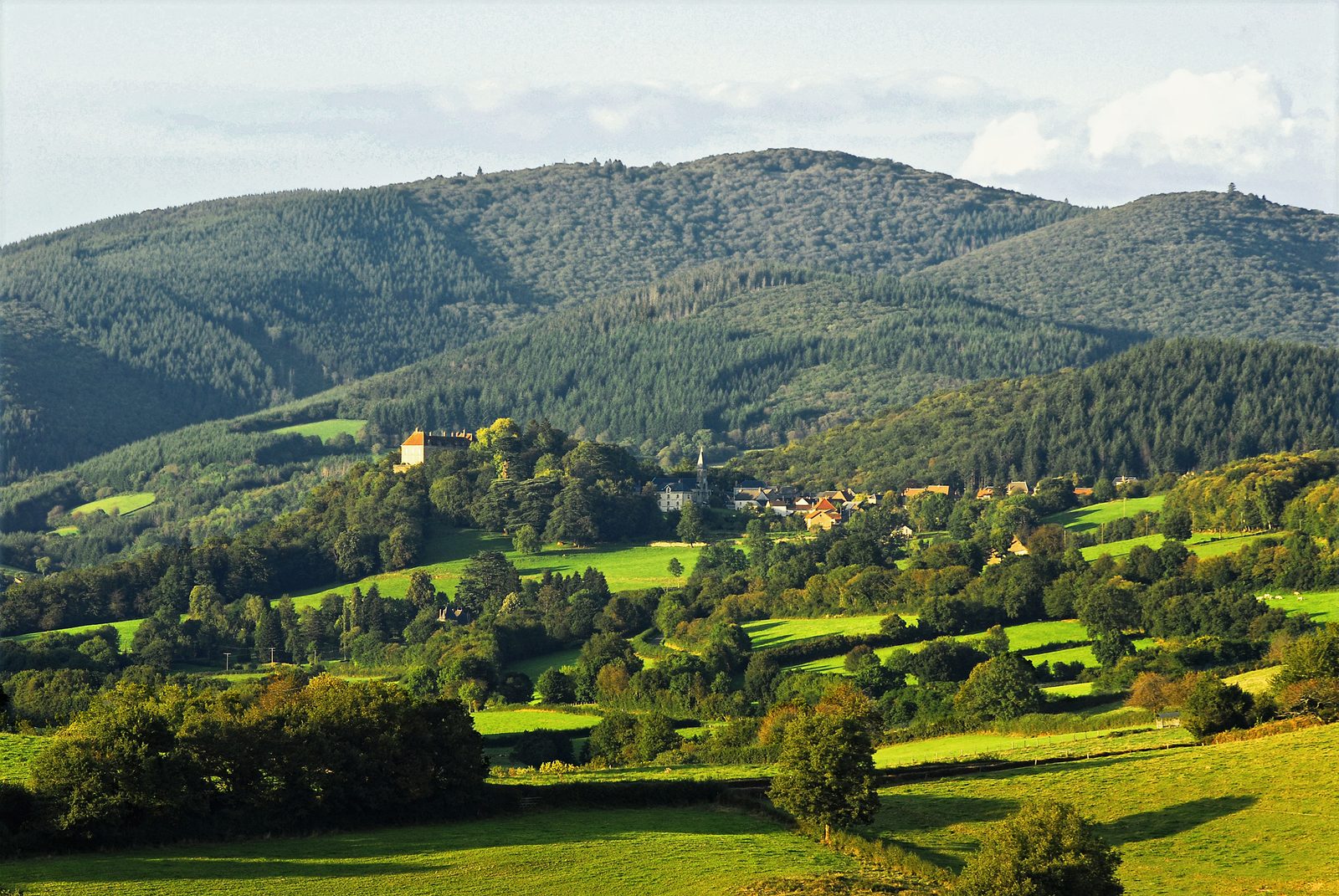
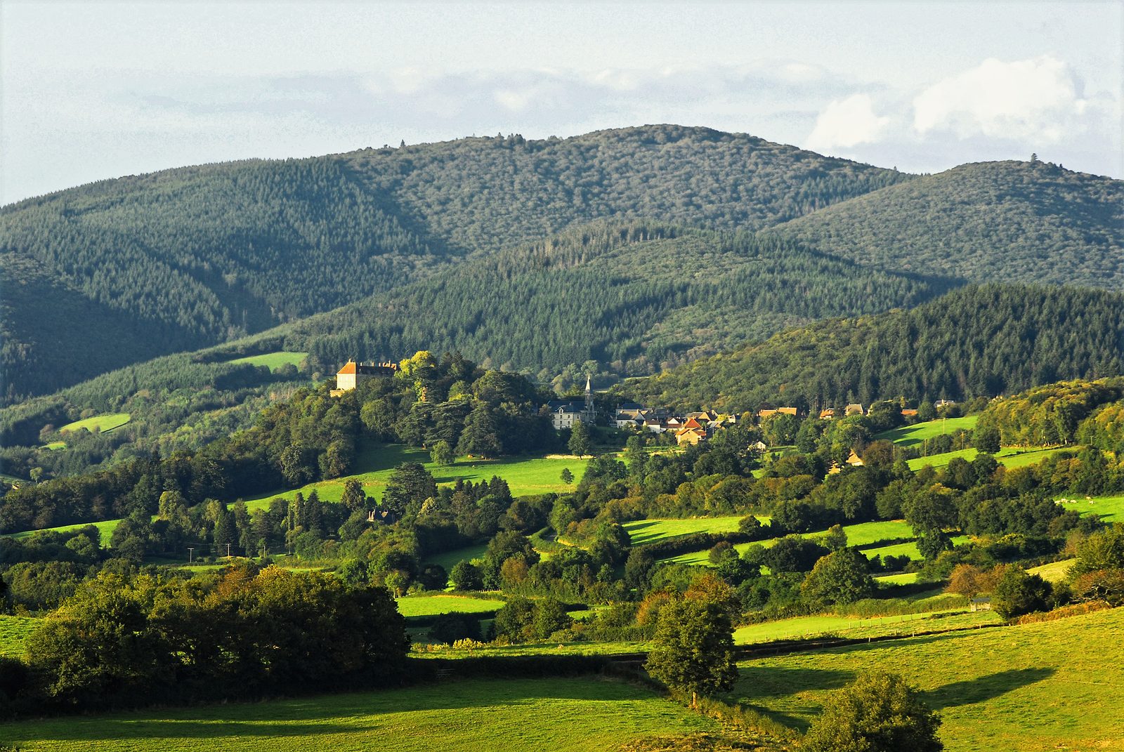
Larochemillay is one of the few Morvan villages to have retained its medieval structure. A castle of ancient origins crowns the summit of the rocky spur. In the middle of the forest, discover the Fraîchots camp, a major site of the Morvan Resistance during the Second World War.
Tour +3h
More hikes nearby
-
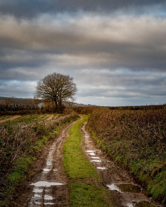 Chemin du Tacot
Alligny-en-Morvan · Morvan
7.5 km · 182 m D+ · Loop
-
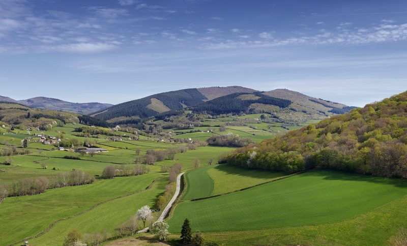 Circuit entre roches et Mont-Beuvray
Larochemillay · Morvan
13.6 km · 463 m D+ · Loop
-
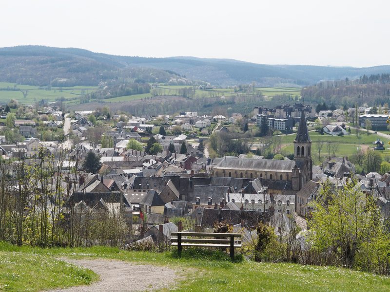 Grand tour de Château-Chinon
Château-Chinon (Ville) · Morvan
16.1 km · 342 m D+ · Loop
-
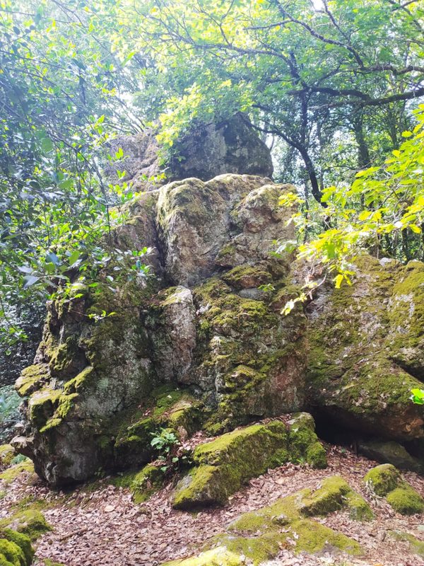 La Légende de la Pierre Aiguë
Villapourçon · Morvan
12.3 km · 371 m D+ · Loop
-
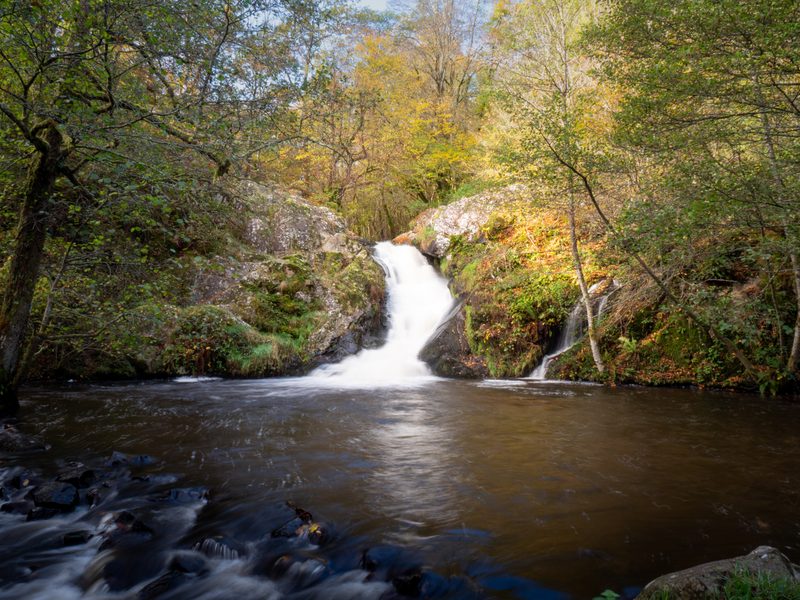 Le Saut de Gouloux
Saint-Brisson · Morvan
18.7 km · 460 m D+ · Loop
-
 Autour de Brancion
Martailly-lès-Brancion · Mâconnais
11.1 km · 283 m D+ · Loop