Chemin du Tacot
Loop of 7.5 km with 182 m of climbing, starting from Alligny-en-Morvan.
- distance
- 7.5 km
- elevation gain
- 182 m
- high point
- 564 m

The hike
This 7.5 km circuit boasts a rich heritage, including numerous historical remains and the old Tacot route.
From the Ternin valley to the wooded hills above, Alligny boasts a rich heritage, including numerous historical remains and the old Tacot route. An ancient stele, the "Pierre Écrite", reminds us that this ancient village existed in Gallo-Roman times.
The château, visible from the village center, dates back to the Middle Ages. It was remodeled in the 17th century.
It probably replaced other strongholds such as La Crémaine and Tour d?Ocle, of which only a few remains remain. Under the Ancien Régime, Alligny was the seat of an important seigneury, one of whose barons, Pierre Quarré d?Alligny, was elevated to the rank of count by Louis XIV in 1676.
The church dates back to the 12th century and features a 16th-century painted wooden piétà and an interior embossed copper tympanum by Marc Hénard.
Find out more about this tour in the "Balades et Randonnées des Grands Lacs du Morvan" guidebook, available from the Morvan Sommets et Grands Lacs Tourist Office, at the BIT des Settons!

More hikes nearby
-
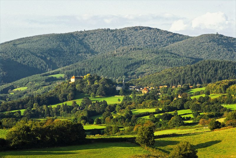 Circuit autour du Mont Touleur
Larochemillay · Morvan
13.4 km · 379 m D+ · Loop
-
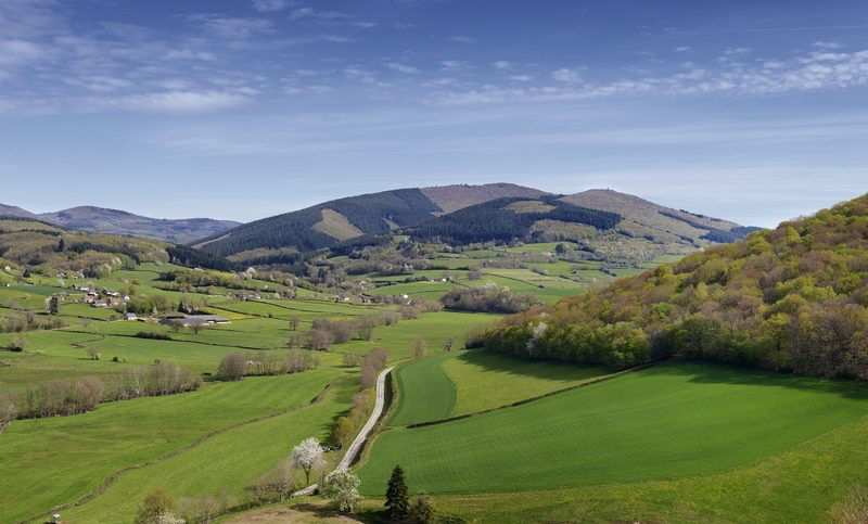 Circuit entre roches et Mont-Beuvray
Larochemillay · Morvan
13.6 km · 463 m D+ · Loop
-
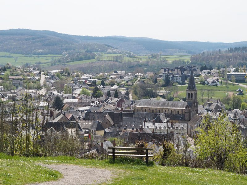 Grand tour de Château-Chinon
Château-Chinon (Ville) · Morvan
16.1 km · 342 m D+ · Loop
-
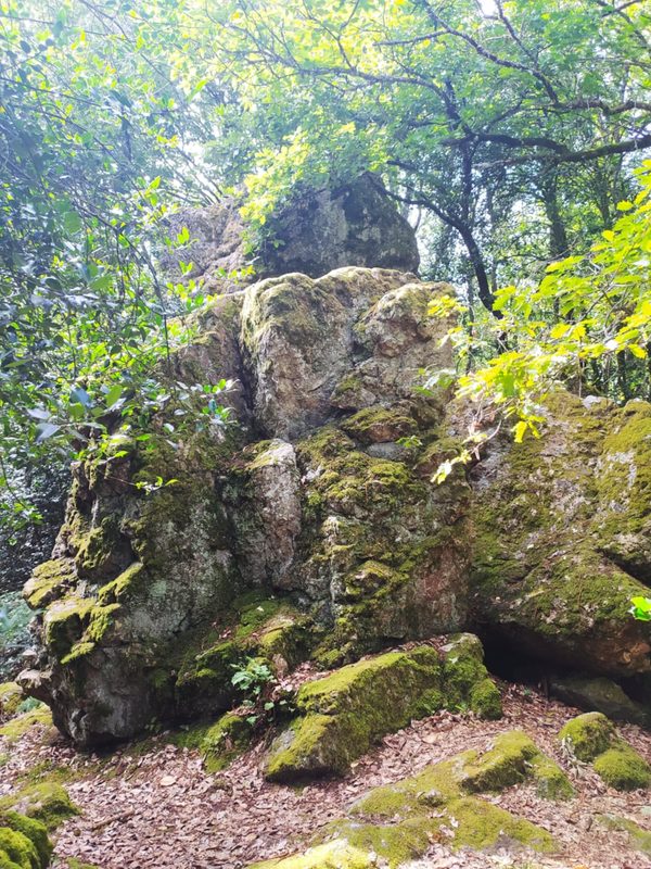 La Légende de la Pierre Aiguë
Villapourçon · Morvan
12.3 km · 371 m D+ · Loop
-
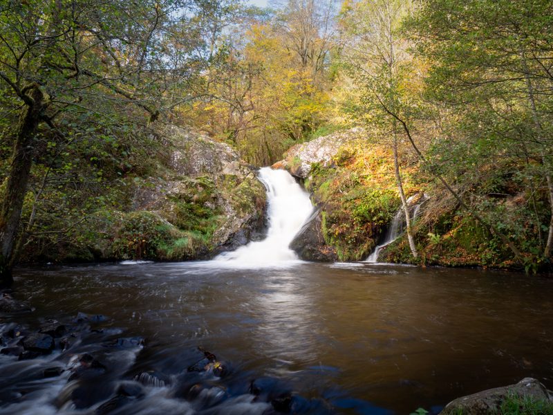 Le Saut de Gouloux
Saint-Brisson · Morvan
18.7 km · 460 m D+ · Loop
-
 Autour de Brancion
Martailly-lès-Brancion · Mâconnais
11.1 km · 283 m D+ · Loop