Autour de Brancion
Loop of 11.1 km with 283 m of climbing, starting from Martailly-lès-Brancion.
- distance
- 11.1 km
- elevation gain
- 283 m
- high point
- 405 m
0
210 m – 405 m
11.1 km
< 4 %4–8 %8–12 %12–18 %18–25 %> 25 %
The hike
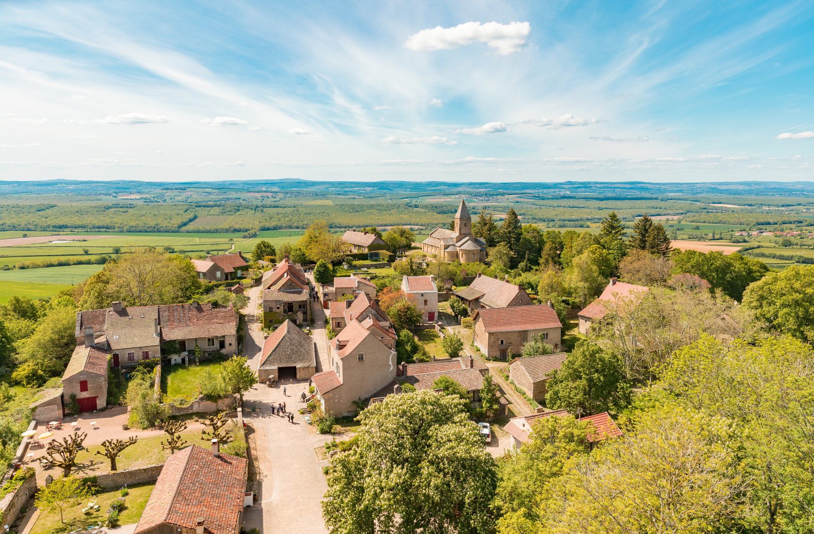
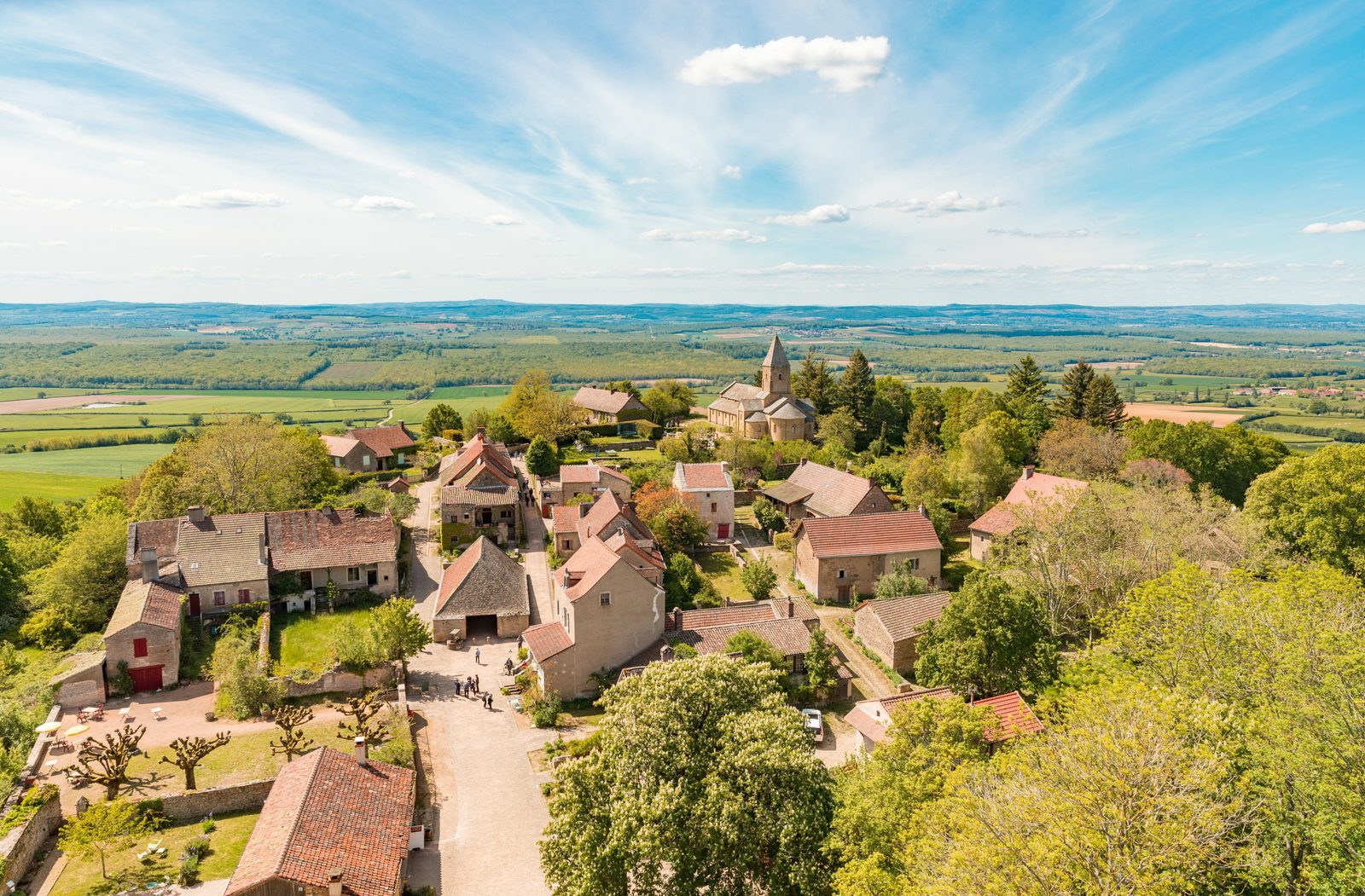
Gain height and immerse yourself in the authenticity of southern Burgundy with an unforgettable hike around Brancion, classified as one of the "most beautiful detours in France"! From the very first steps, you'll be transported into a bucolic setting where nature meets history, and where every step is an invitation to contemplation and wonder.
More hikes nearby
-
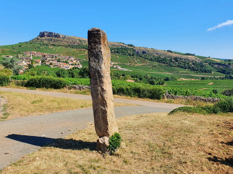 Le sentier des crêtes
Solutré-Pouilly · Mâconnais
8.2 km · 284 m D+ · Loop
-
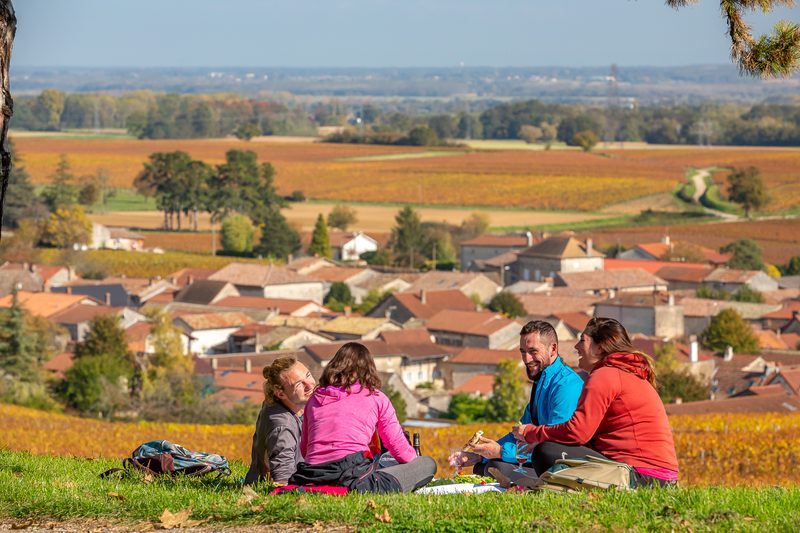 Lugny, le Mâconnais Panoramique
Lugny · Mâconnais
16.2 km · 402 m D+ · Loop
-
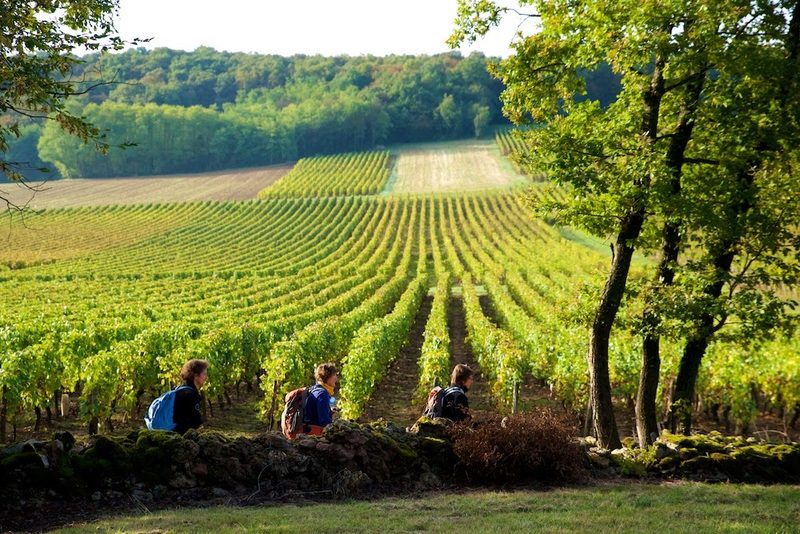 Viré, la montagne et son vignoble
Viré · Mâconnais
7.1 km · 178 m D+ · Loop
-
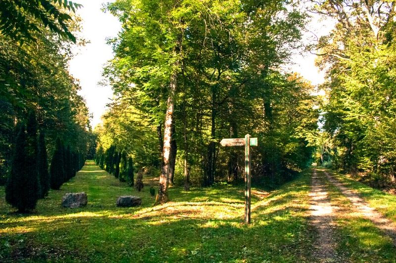 Bois des Fouchères
Recologne
14.6 km · 64 m D+ · Loop
-
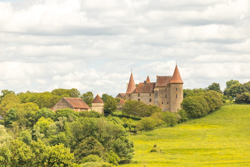 Boucle Gueugnon-Chassy
Gueugnon
11.4 km · 155 m D+ · Loop
-
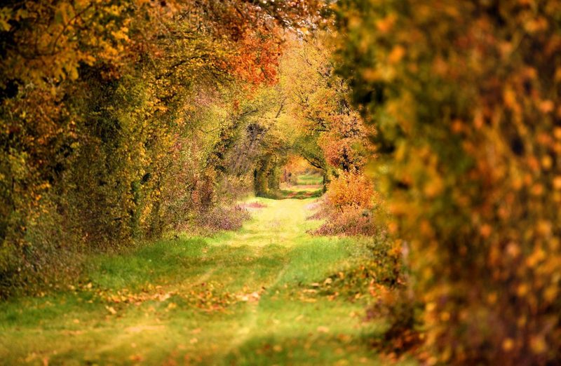 Chemin de la Romance
Lain · Puisaye
17.7 km · 227 m D+ · Loop