Bois des Fouchères
Loop of 14.6 km with 64 m of climbing, starting from Recologne.
- distance
- 14.6 km
- elevation gain
- 64 m
- high point
- 235 m
0
203 m – 235 m
14.6 km
< 4 %4–8 %8–12 %12–18 %18–25 %> 25 %
The hike
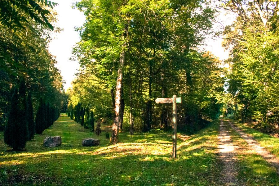
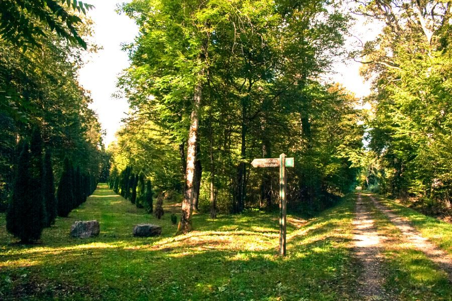
Preserved by the commune of Recologne, the pestiferous cemetery is a memorial to the plague epidemic of 1632 and the 10-year war of 1637. At the time, these terrible events forced the villagers to dig pits away from their homes, in the Bois des Fouchères, to bury the many sick bodies.
More hikes nearby
-
 Autour de Brancion
Martailly-lès-Brancion · Mâconnais
11.1 km · 283 m D+ · Loop
-
 Boucle Gueugnon-Chassy
Gueugnon
11.4 km · 155 m D+ · Loop
-
 Chemin de la Romance
Lain · Puisaye
17.7 km · 227 m D+ · Loop
-
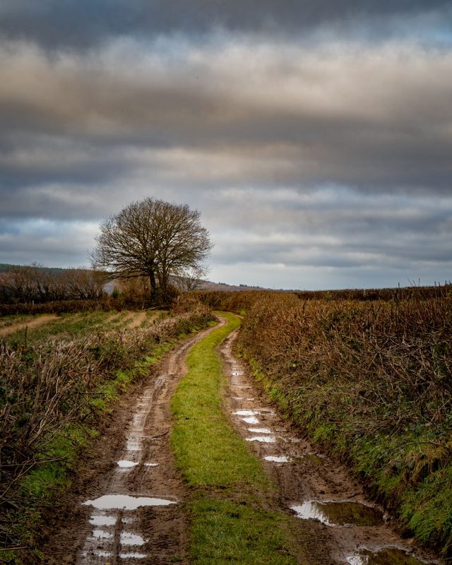 Chemin du Tacot
Alligny-en-Morvan · Morvan
7.5 km · 182 m D+ · Loop
-
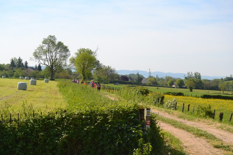 Chemins de la Jouvencelle
Saint-Gengoux-le-National · Côte chalonnaise
18.5 km · 383 m D+ · Loop
-
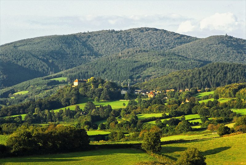 Circuit autour du Mont Touleur
Larochemillay · Morvan
13.4 km · 379 m D+ · Loop