Boucle Gueugnon-Chassy
Loop of 11.4 km with 155 m of climbing, starting from Gueugnon.
- distance
- 11.4 km
- elevation gain
- 155 m
- high point
- 340 m
The hike
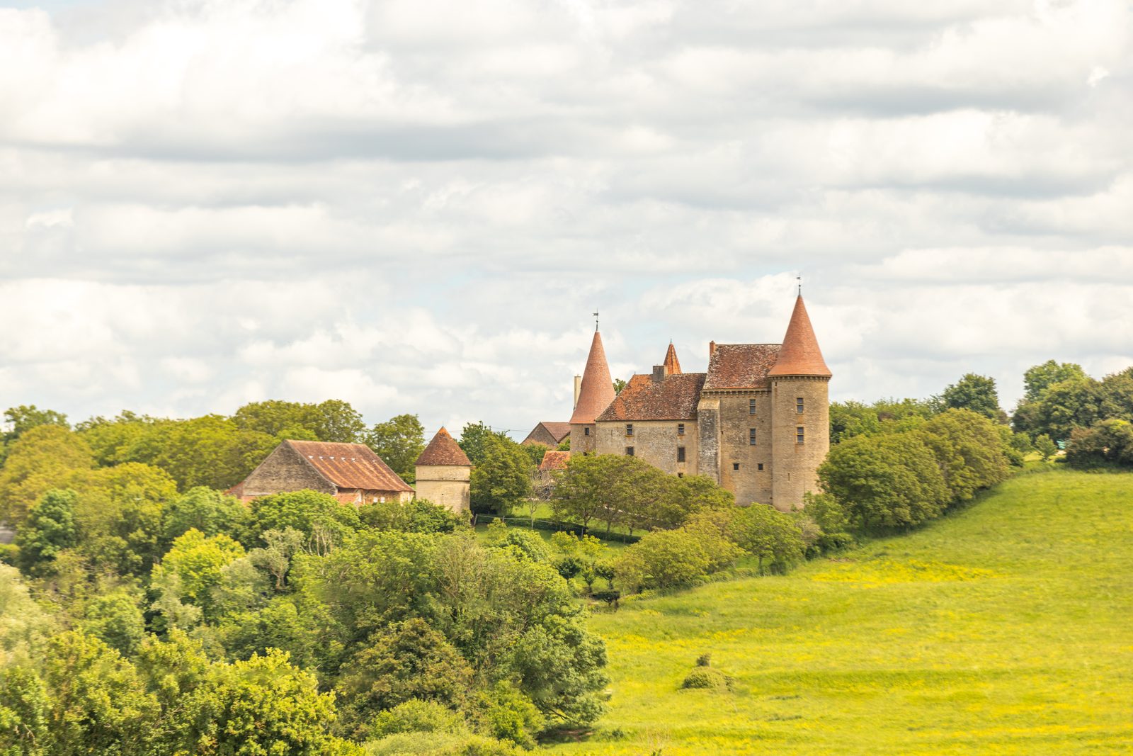
Starting in Gueugnon, this loop begins along the banks of the Arroux, a river that flows through the town. The route then leaves the urban area and heads into the countryside toward Chassy, a village in the Charolais region.
The route follows a variety of paths through meadows, ponds, wooded areas, and small rural roads. It offers various views of the valley and the surrounding landscape.
The return to Gueugnon passes through the Bois Messard and other wooded areas. The route thus alternates between open areas and forest sections.
Accessible and without any particular difficulties, this route is suitable for a wide range of people wishing to explore the Charolais countryside. It allows you to observe varied landscapes and enjoy a preserved natural environment.
More hikes nearby
-
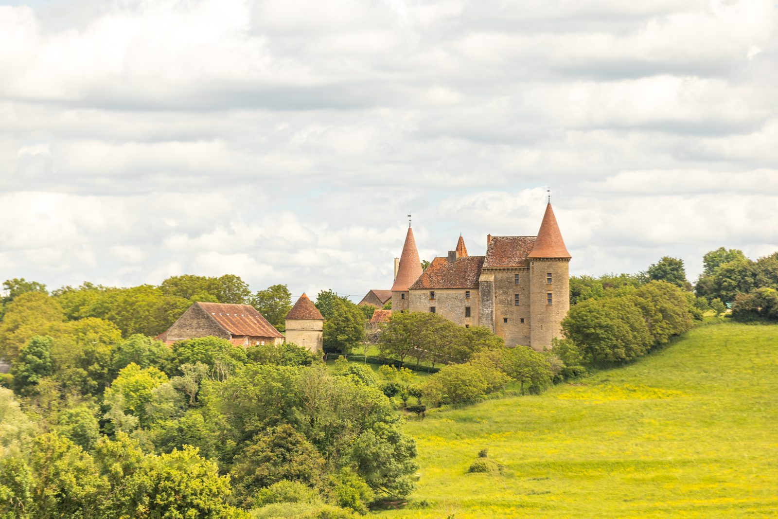
 Autour de Brancion
Martailly-lès-Brancion · Mâconnais
11.1 km · 283 m D+ · Loop
-
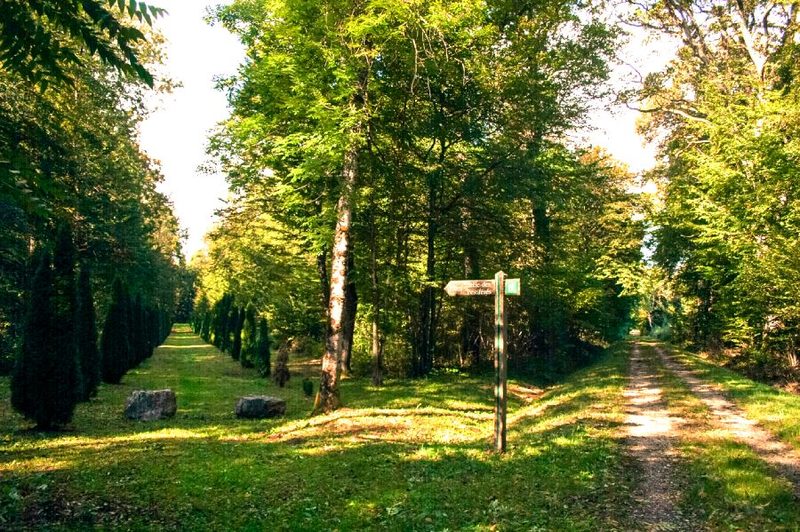 Bois des Fouchères
Recologne
14.6 km · 64 m D+ · Loop
-
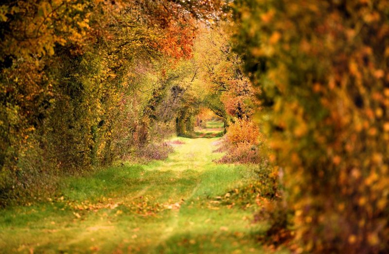 Chemin de la Romance
Lain · Puisaye
17.7 km · 227 m D+ · Loop
-
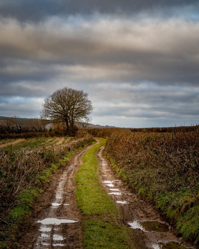 Chemin du Tacot
Alligny-en-Morvan · Morvan
7.5 km · 182 m D+ · Loop
-
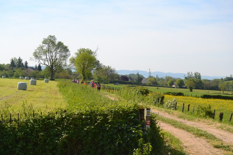 Chemins de la Jouvencelle
Saint-Gengoux-le-National · Côte chalonnaise
18.5 km · 383 m D+ · Loop
-
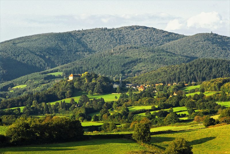 Circuit autour du Mont Touleur
Larochemillay · Morvan
13.4 km · 379 m D+ · Loop