Chemin de la Romance
Loop of 17.7 km with 227 m of climbing, starting from Lain.
- distance
- 17.7 km
- elevation gain
- 227 m
- high point
- 314 m
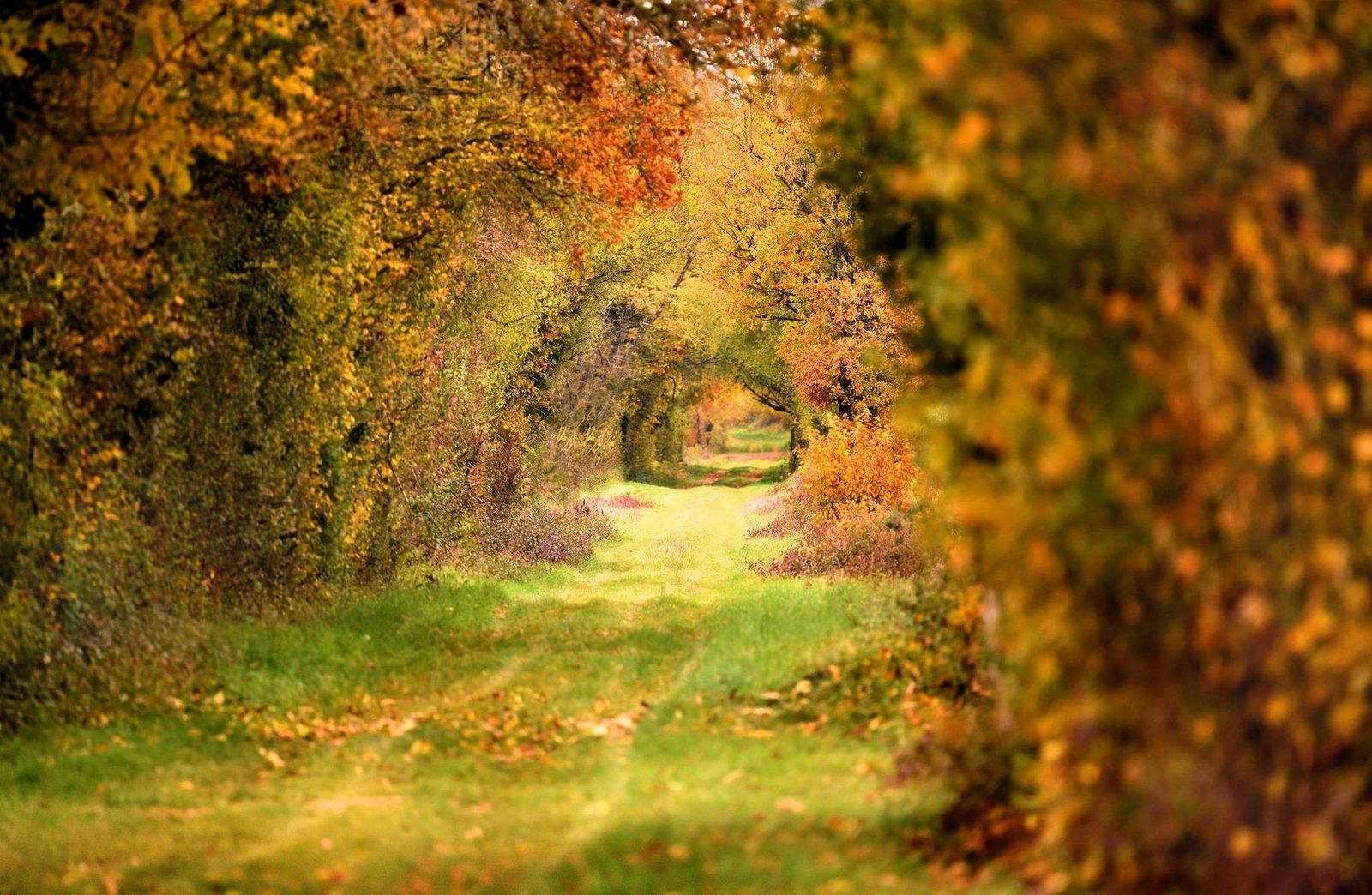
The hike
The parking lot for this hike is located in front of the church.
(D/A) In front of the electric vehicle charging station, with the church on your right, turn into the Grand'Rue, pass the church gate and turn left towards the town hall. Drive up this street, leaving Rue de la Messe on your left. After the last houses, take the right-hand path for about 150m. At the crossroads, turn left. Follow the edge of the woods to reach the farm buildings.
(1) Go straight ahead to reach the first crossroads. Turn left, then left again at the next crossroads.
(2) Carefully cross the D85 (Rue des Bourguignons). Leave the first track on the right just after crossing the Ruisseau Saint-Bonnet to climb up and find a crossroads.
(3) Go straight ahead and join a tarmac road.
(4) Turn left and stay on this track until you reach the crossroads with the D301 (cross on the right). Cross the road and go downhill. After the ford, forget the track on the right. Climb up to the road.
(5) Turn right. Drive through the hamlet, keeping to the road as far as the crossroads at the bend in the road.
(6) Turn left (watch out for oncoming traffic). The path is bordered by dense hedges and gardens, then woods.
(7) Carefully cross the D85. Keep to the left-hand shoulder for 100 m or so. At the end of the hedge, turn left off the road. Continue and turn right at the first crossroads and left at the next. At hill 299, follow the path (the left-hand path shown on the IGN map no longer exists).
(8) Turn right onto the asphalt road for about 100 m. Take the left-hand path just before the bend. After a right-angled bend, immediately turn right and go down to the cross-country track.
(9) Turn left onto this hedge-lined track and continue to the road.
(10) Carefully cross the road and take the path opposite. Continue, keeping the fields on your right. At the crossroads, keep to the main path and not to the track shown on the IGN map.
(11) Cautiously cross this road and take the path slightly left/right. You will come to a crossroads of 4 old roads.
(12) Go left uphill and cross the small road to continue on the old Roman road, which climbs and goes off at right-angles to the left. Leave this track just before the grove to go straight ahead and arrive opposite some farm sheds.
(13) Keep to the path which descends to a small tarmac road, leaving a track on the right. At the road, turn right and continue for approx. 300 m.
(14) Go up the path on the right. Pass the sewage treatment plant and reach a service road.
(15) Turn right, passing between livestock buildings. At the crossroads, turn left. Continue along this main road to reach the church (D/A).
More hikes nearby
-
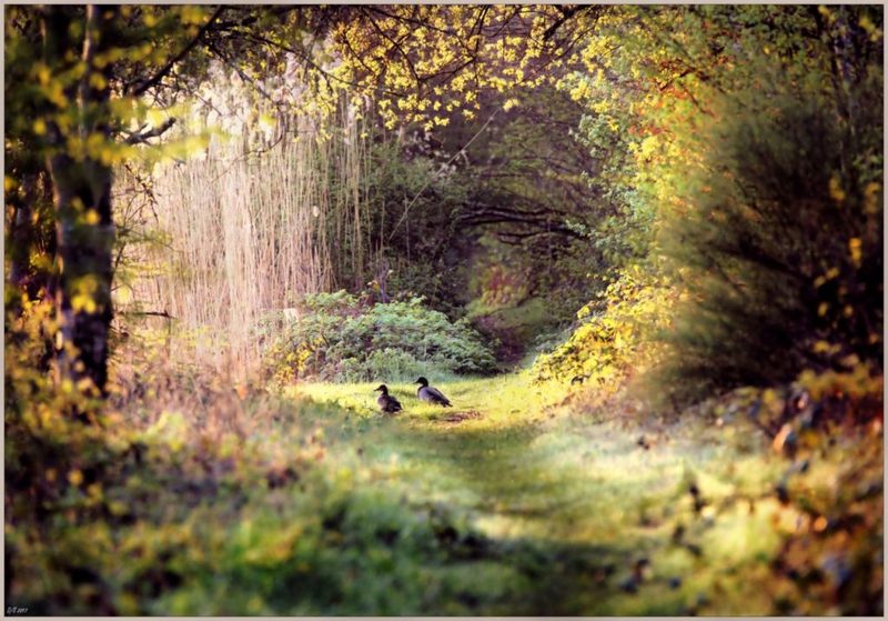 Circuit des trois étangs
Moutiers-en-Puisaye · Puisaye
12.0 km · 111 m D+ · Loop
-
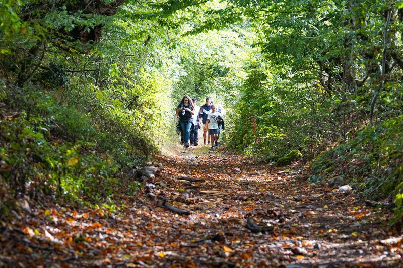 Les Vrines
Charny Orée de Puisaye · Puisaye
12.8 km · 93 m D+ · Loop
-
 Autour de Brancion
Martailly-lès-Brancion · Mâconnais
11.1 km · 283 m D+ · Loop
-
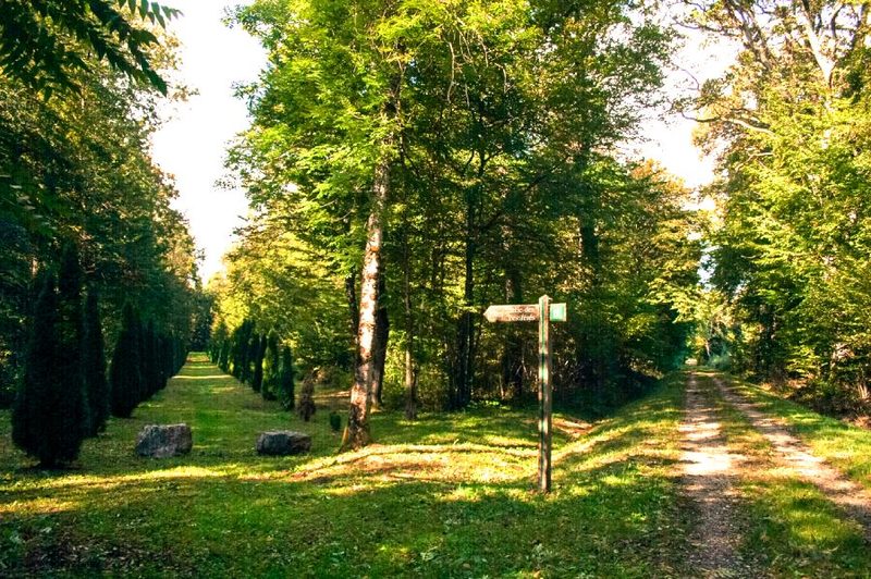 Bois des Fouchères
Recologne
14.6 km · 64 m D+ · Loop
-
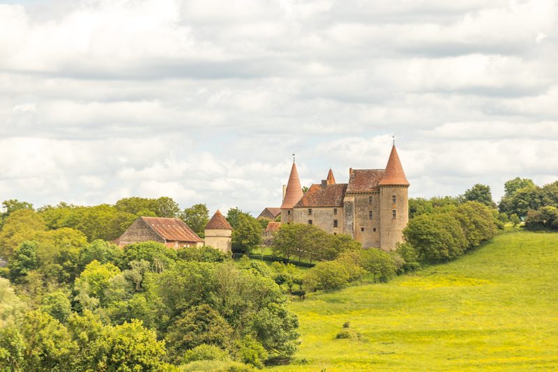 Boucle Gueugnon-Chassy
Gueugnon
11.4 km · 155 m D+ · Loop
-
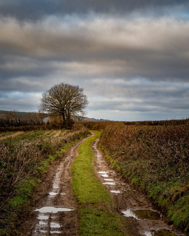 Chemin du Tacot
Alligny-en-Morvan · Morvan
7.5 km · 182 m D+ · Loop