Les Vrines
Loop of 12.8 km with 93 m of climbing, starting from Charny Orée de Puisaye.
- distance
- 12.8 km
- elevation gain
- 93 m
- high point
- 198 m
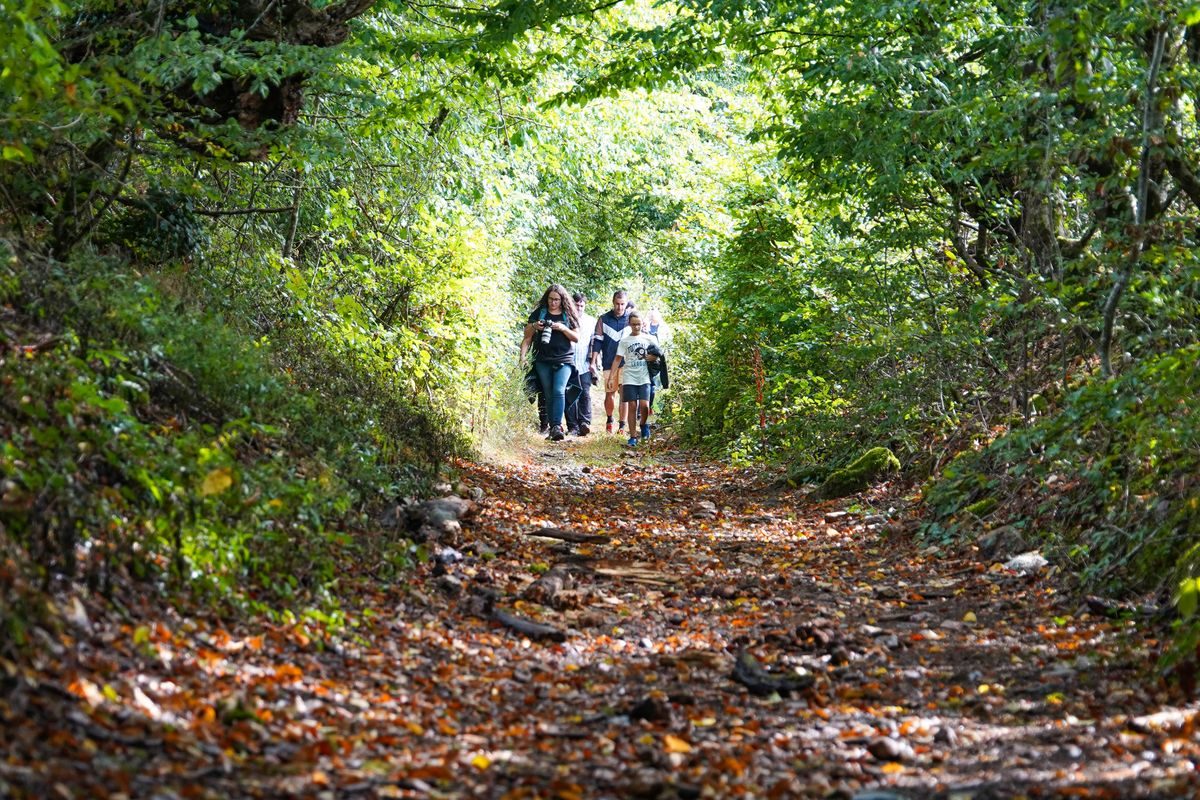
The hike
Departure from the church square in Fontenouilles (commune of Charny-Orée de Puisaye). A parking lot is nearby, along the D464.
(D/A) With your back to the church, turn right along the D464 as far as the bridge over the Cuivre river, to arrive at the Moullière sign.
(1) Turn right onto the green lane. At the crossroads, turn right into the woods and pass under a power line. Enter the undergrowth and, when you reach the plain, follow the edge of the wood to the right, leaving a path leading into the undergrowth. Join a small road on the right.
(2) Cross the road and go straight ahead. Go straight on past the fork in the road leading to the Frilure and climb up towards the wood. At the crossroads, continue straight ahead into the wood, then after passing between arable fields, come out at a bend in the road.
(3) Turn right, skirting the Boulat Blanc farm, keeping to the road until you reach a transverse lane.
(4) Take this on the left for a few metres, then turn right onto a track which runs alongside a wood. Follow the edge of the wood and, keeping to this path, cross the plain to reach the access road to Les Paillots (magnificent oak tree on the right and well).
(5) Turn left to reach a central island, with the Chevillons residences on the left.
(6) Take the road on the right, go down and keep to the right until you reach the D64.
(7) Take this road on the right for about 300 m, being careful.
(8) Turn left onto the track leading into the woods. Reach the edge of the woods.
(9) Turn right onto a downhill path that follows the edge of the woods on your left. At the road, turn left, pass the grassed access road to Les Morins and continue straight on to the next right-angle bend. At this point, leave the road and take the gravel path. Pass the aviary on your left and arrive at a four-way crossroads with a livestock building opposite.
(10) Without crossing, turn right to take the first track on the right (house on the left), which leads to the road to Les Morins.
(11) Continue straight ahead. At the entrance to Château de Richebois, leave the road for the path slightly to the left. Cross a road with a slight right-left and head for La Ramerie.
(12) Turn right onto the asphalt road for about 50 m, then leave it to take the downhill path with the Fontenouilles church in view. Leave the cemetery on your left and turn right twice at the crossroads. Arrive on the D64 and head for the central crossroads a short distance away. Turn left to find the parking lot and church (D/A).
More hikes nearby
-
 Chemin de la Romance
Lain · Puisaye
17.7 km · 227 m D+ · Loop
-
 Circuit des trois étangs
Moutiers-en-Puisaye · Puisaye
12.0 km · 111 m D+ · Loop
-
 Autour de Brancion
Martailly-lès-Brancion · Mâconnais
11.1 km · 283 m D+ · Loop
-
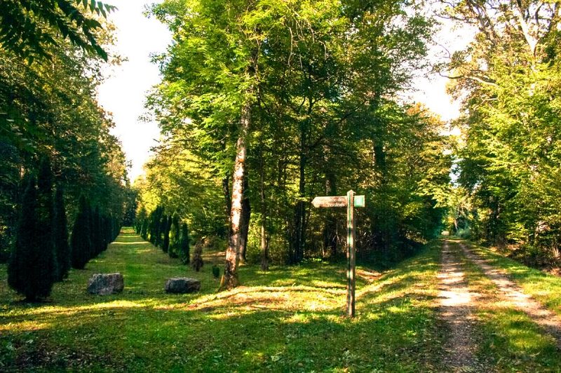 Bois des Fouchères
Recologne
14.6 km · 64 m D+ · Loop
-
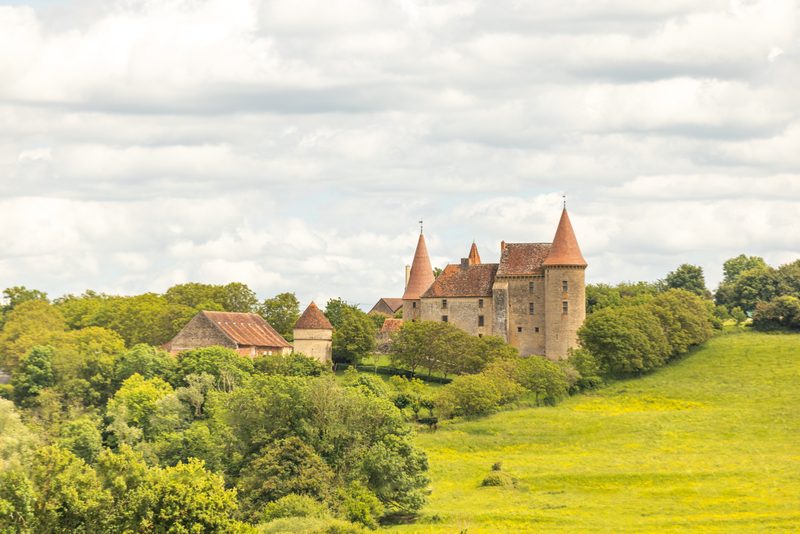 Boucle Gueugnon-Chassy
Gueugnon
11.4 km · 155 m D+ · Loop
-
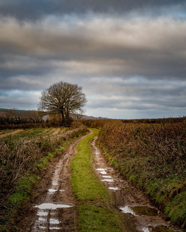 Chemin du Tacot
Alligny-en-Morvan · Morvan
7.5 km · 182 m D+ · Loop