Circuit des trois étangs
Loop of 12.0 km with 111 m of climbing, starting from Moutiers-en-Puisaye.
- distance
- 12.0 km
- elevation gain
- 111 m
- high point
- 270 m
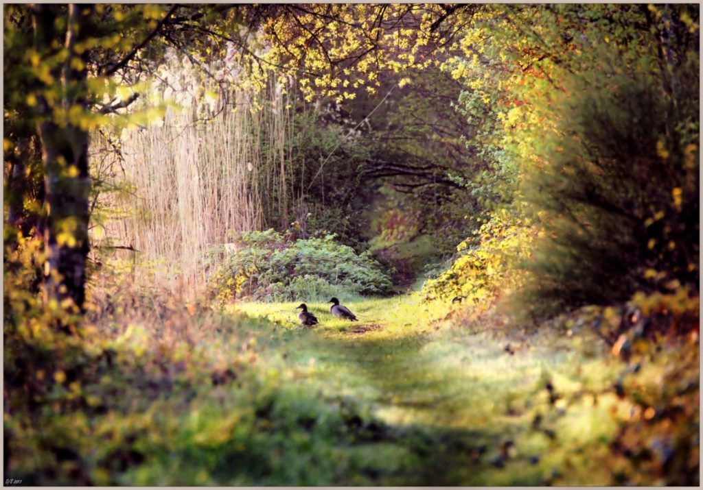
The hike
Departure from the church parking lot, Place du Moine Glaber.
(D/A) Head towards the village, on Place de la Mairie, turn slightly right and follow Rue de la Forge. At the stop sign, turn right onto the dirt track.
(1) At the main road, keep to the lower left-hand side for 400m and turn left towards Les Proux de la Route. This small road continues onto a dirt track. Keep to this main path and turn right at the right-angled bend (leaving the left-hand path) to join and cross a small tarmac road and follow the one leading to Les Belles Fontaines. Follow the road for 150 m, then turn right onto the path. Follow the path, sometimes entering a wood or a field. Almost at the end, this sunken path becomes difficult to follow, so take the left-hand path between this wood and the old sunken path to reach the first pond on this route: l'étang de Charmoy.
(2) Go right up the road and take the first turning on the left. After a crossroads of four paths (the left-hand path, which is private, is flanked by 2 stone columns), take the path opposite along a wooded moor that separates you from the Bourdon reservoir (a very wild section).
Follow this path for about 450m, then turn right (3). This new path climbs steadily and leads to a more frequently used road.
(4) Turn right. At Les Guérins, turn left (the right-hand entrances enter the farm). Cross the D85 road and go down the small tarmac lane towards Les Clergeaux. At the entrance to the property, turn right onto the dirt track. Continue until you come to a through lane, turn left and drive through Les Petits Clergeaux. The road becomes a track, crosses the railroad line, crosses the Loing and returns to the road, which, if taken to the right, leads to the Moutiers pond dike.
Don't hesitate to make a round trip on the dike before continuing along the small road that runs alongside the pond on the left.
(5) At the junction of 4 roads, turn right, cross the bridge over the ru and join the junction with the D85.
(6) Cross the railroad line and turn left just after the line, in the direction of Moutiers.
(7) Cross the bridge over the Loing to return to the start parking lot (D/A).
More hikes nearby
-
 Chemin de la Romance
Lain · Puisaye
17.7 km · 227 m D+ · Loop
-
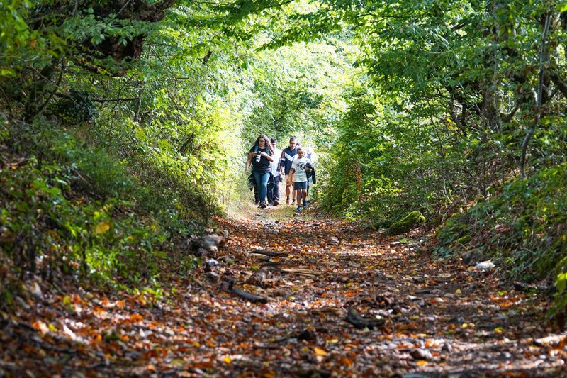 Les Vrines
Charny Orée de Puisaye · Puisaye
12.8 km · 93 m D+ · Loop
-
 Autour de Brancion
Martailly-lès-Brancion · Mâconnais
11.1 km · 283 m D+ · Loop
-
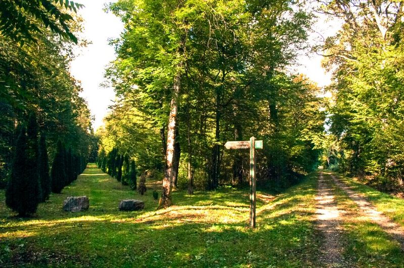 Bois des Fouchères
Recologne
14.6 km · 64 m D+ · Loop
-
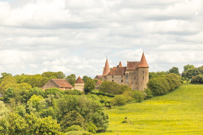 Boucle Gueugnon-Chassy
Gueugnon
11.4 km · 155 m D+ · Loop
-
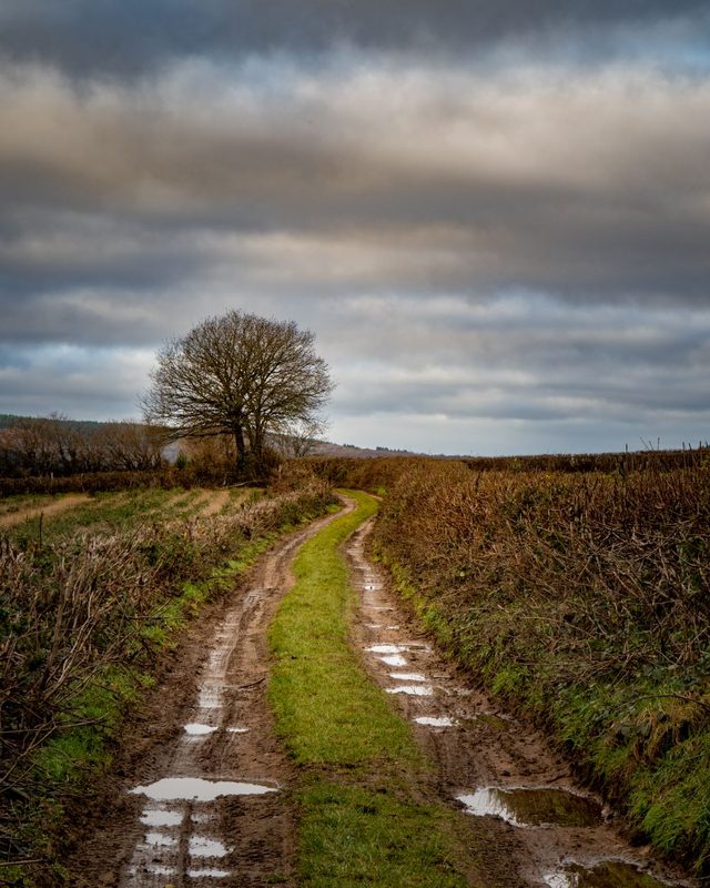 Chemin du Tacot
Alligny-en-Morvan · Morvan
7.5 km · 182 m D+ · Loop