Chemins de la Jouvencelle
Loop of 18.5 km with 383 m of climbing, starting from Saint-Gengoux-le-National.
- distance
- 18.5 km
- elevation gain
- 383 m
- high point
- 400 m
0
209 m – 400 m
18.5 km
< 4 %4–8 %8–12 %12–18 %18–25 %> 25 %
The hike
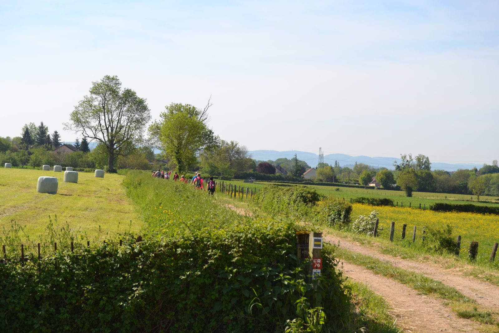
Located at the limit of the Chalonnais and the Mâconnais, this hiking loop (composed of three possible variants) starting from Saint-Gengoux-le-National takes a part of the GR76 and then continues on paths that cross varied landscapes. Before ending, it goes up to the top of the Saint-Roch mountain from where the view is remarkable.
More hikes nearby
-
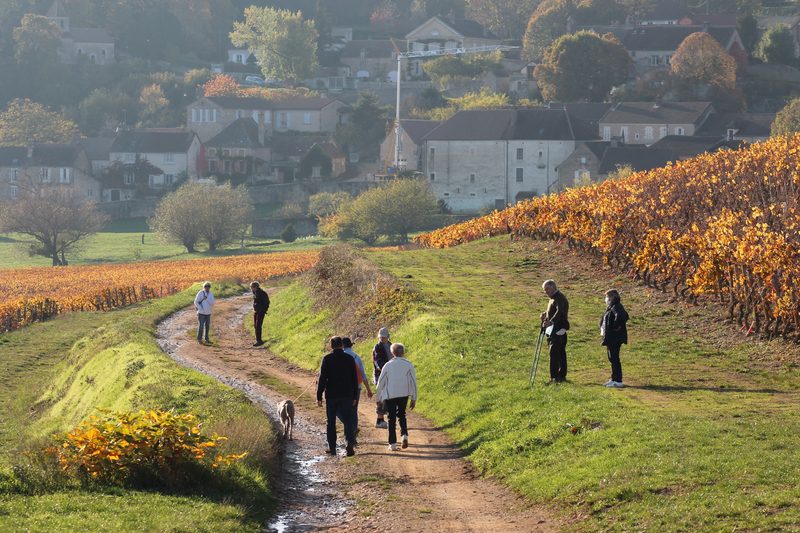 Grande boucle de Givry
Givry · Côte chalonnaise
25.0 km · 493 m D+ · Loop
-
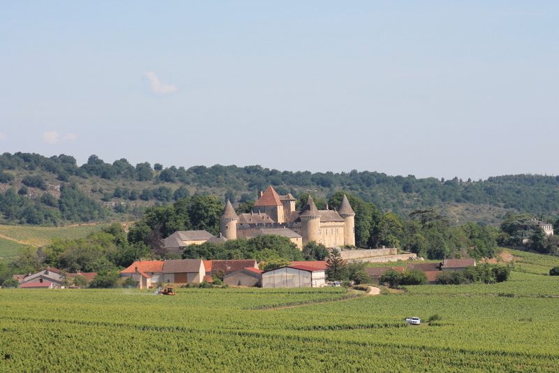 Grande boucle de Rully
Rully · Côte chalonnaise
29.9 km · 656 m D+ · Loop
-
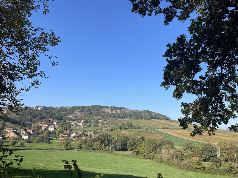 Sur l'Ormeau – La Grand Croix
Culles-les-Roches · Côte chalonnaise
12.2 km · 256 m D+ · Loop
-
 Autour de Brancion
Martailly-lès-Brancion · Mâconnais
11.1 km · 283 m D+ · Loop
-
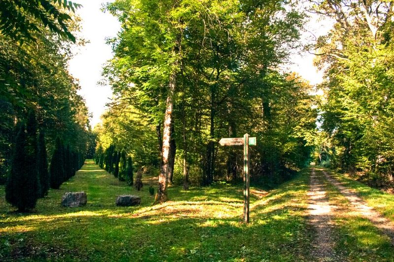 Bois des Fouchères
Recologne
14.6 km · 64 m D+ · Loop
-
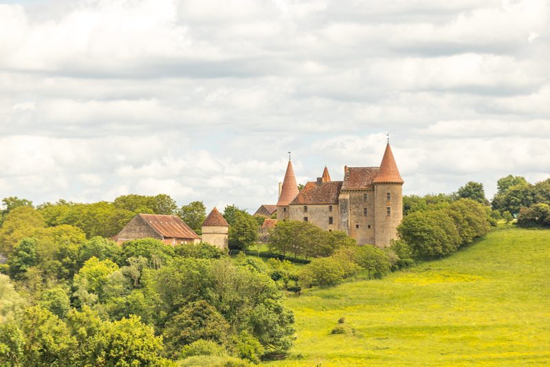 Boucle Gueugnon-Chassy
Gueugnon
11.4 km · 155 m D+ · Loop