Le sentier des crêtes
Loop of 8.2 km with 284 m of climbing, starting from Solutré-Pouilly.
- distance
- 8.2 km
- elevation gain
- 284 m
- high point
- 577 m
0
286 m – 577 m
8.2 km
< 4 %4–8 %8–12 %12–18 %18–25 %> 25 %
The hike
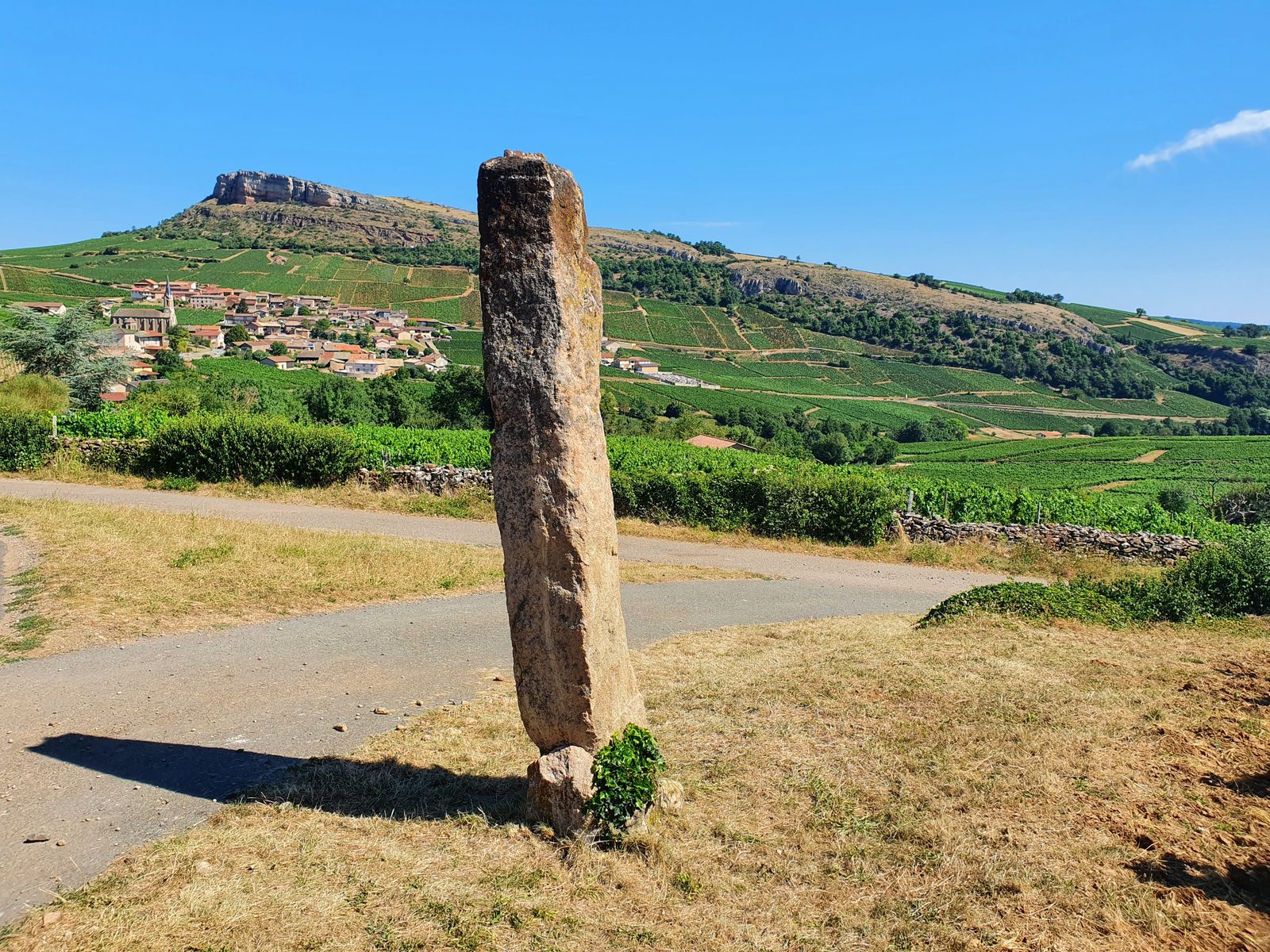
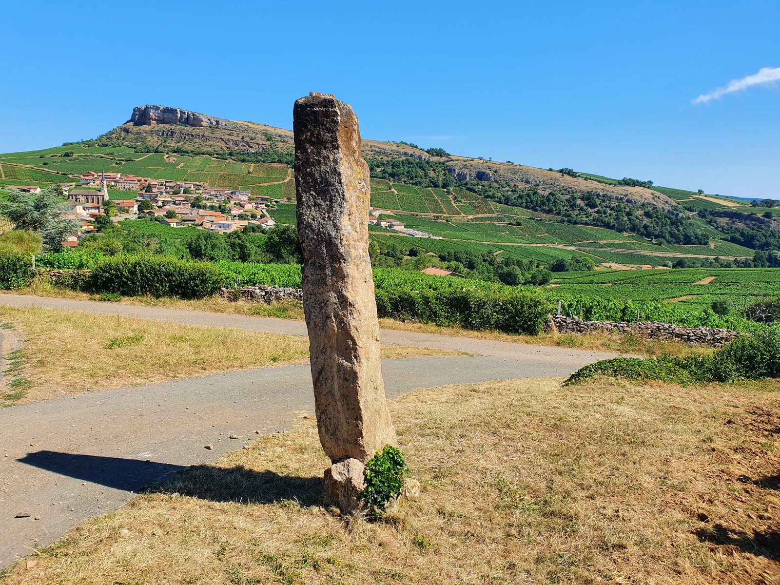
From the Roche de Solutré, you will reach the historical border with the Rhône. This shaded ridge path will allow you to admire the Roches de Solutré and Vergisson which are cut out on the landscape of the Saône plain. You will arrive on the oldest part of the village of Vergisson ? You will discover the menhir of the hamlet of Chancerons.
More hikes nearby
-
 Autour de Brancion
Martailly-lès-Brancion · Mâconnais
11.1 km · 283 m D+ · Loop
-
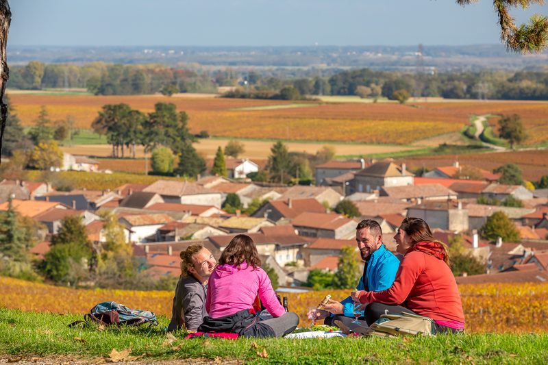 Lugny, le Mâconnais Panoramique
Lugny · Mâconnais
16.2 km · 402 m D+ · Loop
-
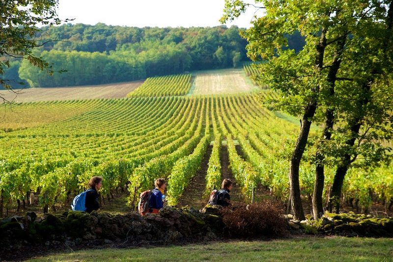 Viré, la montagne et son vignoble
Viré · Mâconnais
7.1 km · 178 m D+ · Loop
-
 Bois des Fouchères
Recologne
14.6 km · 64 m D+ · Loop
-
 Boucle Gueugnon-Chassy
Gueugnon
11.4 km · 155 m D+ · Loop
-
 Chemin de la Romance
Lain · Puisaye
17.7 km · 227 m D+ · Loop