Le Champ de Roches (Grand Circuit)
Loop of 15.4 km with 310 m of climbing, starting from Corcieux.
- distance
- 15.4 km
- elevation gain
- 310 m
- high point
- 761 m
The hike
Marking: green round
It is advisable to put on good hiking shoes, also provide the drink in a backpack, keep your dog on a leash and respect the paths.
Departure : Corcieux, place de l'église.
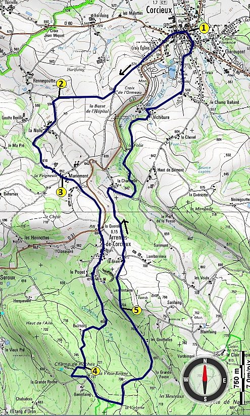
1/ Go towards the Hôtel du Commerce and take the rue de l'Hôtel de ville on the right. Pass in front of the town hall (green roundabout)
At the crossroads, follow the road to Arrentès de Corcieux (D 31) for about 250 m before turning right into rue de l'Ormeau on a short but steep climb which leads to the Croix Egline housing estate (alt 561 m)
Continue straight ahead. Pass this housing estate and follow the dirt track across the fields to the Calvary of the Croix de l'Ormeau (alt 594 m). Turn right (green roundabout)
On the right, view of the 3 Monts, the Roche des Corbeaux which dominates the village of La Houssière-Vanémont
2/ The dirt track leads to an asphalt road that you will take on your left (green roundabout). On your right, observe in the distance the Romanesque church of Saint-Jacques du Stat *
After 200 m, turn right towards the hamlet of La Nolle (alt 610 m). Leave the Calvary on your left and take the dirt track. A little further on, take the asphalt road on your left which will lead you to the hamlet of Mariémont (green roundabout)
3/ At the first crossroads, continue straight ahead (green roundabout). At the next crossroads, leave the Calvary on your left. Beautiful panorama on the basin of Corcieux, site of an ancient prehistoric lake. Continue to the col des Arrentès de Corcieux (alt 684 m). In front of the restaurant, cross the D31 and take the C1 towards the centre of the village of Arrentès de Corcieux towards the Champ de Roches (green roundabout). You will pass in front of the town hall
At the next crossroads, continue to the right (green roundabout). After crossing the Corbeline brook, continue on the road uphill. In front of an old farm, turn left on a small path lined with low stone walls, in a spruce forest
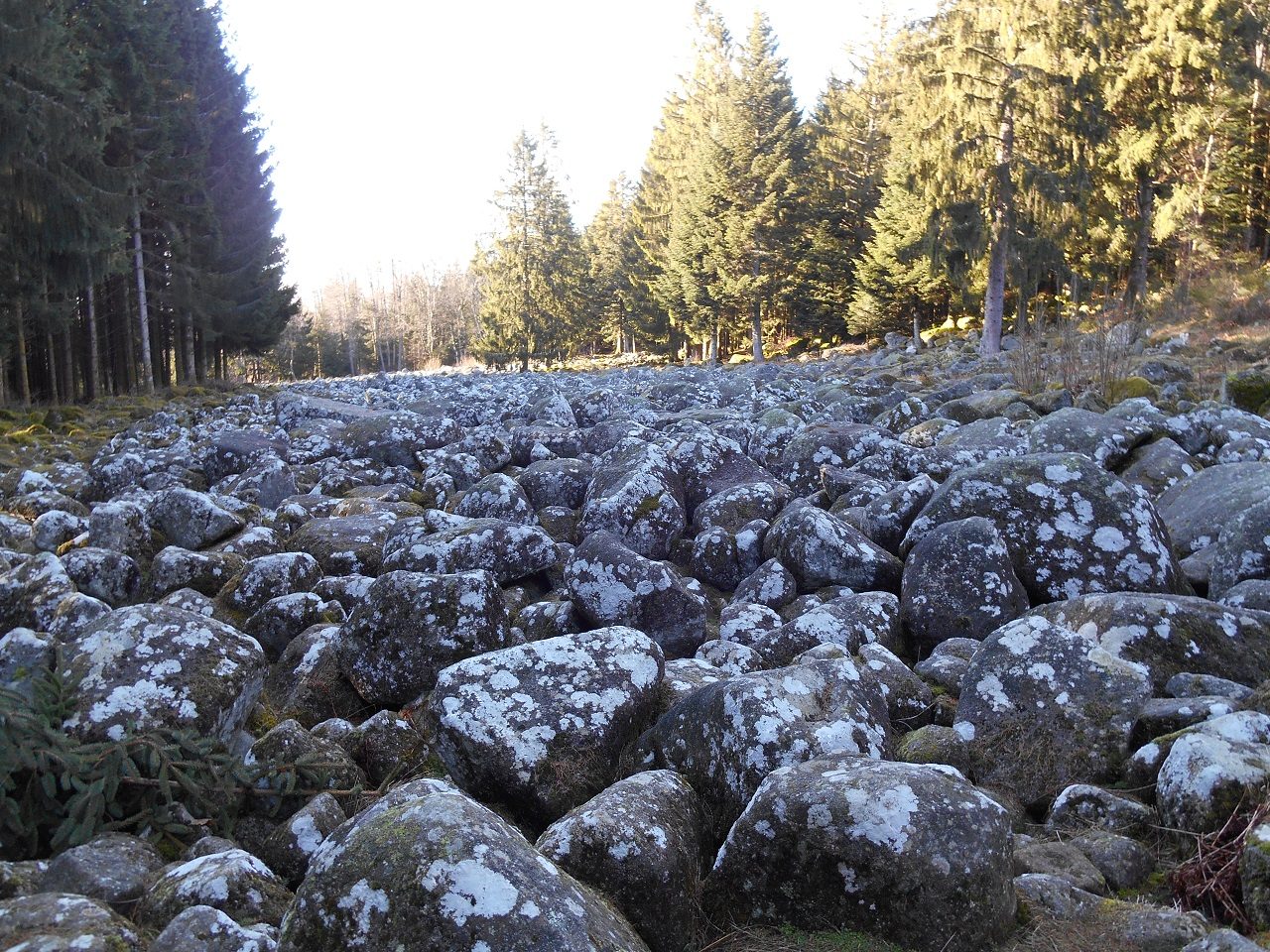
4/ Turn sharply to the right and 100 m further, go down to the left to reach the site of the Champ de Roches. You will find explanatory panels on this geological particularity
After crossing it, continue to the left on the tarmac road after the car park (green roundabout)
After 150 m, at the crossroads, follow the signs (green roundabout) and continue straight ahead on a dirt road. Once you reach a tarmac road, turn left downhill (direction Corcieux)
Cross the Corbeline brook again. At the Carrefour des Goutelles (alt 700 m), continue straight on towards Les Arrentès, in the fir forest
5/ At 800 m, leave the road and take the small path slightly uphill on your right (green roundabout)
At about 200 m, observe, on the right in the stone wall, the entrance of a water mine *
At the exit of the forest, turn left and discover the beautiful panorama of the basin of Corcieux, with, in the foreground, the Col des Arrentès and on the horizon, the blue line of the Vosges
When you reach the first houses, cross the asphalt road and take the path opposite, going down to the hamlet of La Charmelle. Then turn right (green roundabout). After 300 m, take the dirt track on your left which runs along the small brook of Les Bans (green roundabout)
You will pass by old granite quarries. After the stone bridge, turn left. About 300 m further down, you will see the ruins of an old mill at La Folie and further on, on your right, some imposing granite blocks
At the first houses of the hamlet of Vichibure (alt 563 m), turn left. On your right, a first farmhouse dated 1723 is a former prison that belonged to the Counts of Martimprey. A small window in the flamboyant gothic style remains on the south-east facade
Notice on the facade of the next farmhouse the date of its construction (1827), its sandstone pediment and two inscriptions H10 . CH6: during the German occupation in 1940, houses were requisitioned to house the enemy army. The inscriptions specified the number of men (H 10) and horses (CH 6) that could be accommodated
Turn right (green roundabout) and after about 500 m turn left. You pass in front of the EHPAD Le For-felet and follow the campsite of Les Bans and La Tour. By the Notre Dame street then the Henry street, go back to the church square, starting point of the hike
To be seen:
CHURCH OF SAINT JACQUES DU STAT (to be visited) : Its Romanesque bell tower, built at the end of the 11th century, is listed in the inventory of Historic Monuments. According to the archives, Charlemagne, who came to hunt with his retinue in the region's game forests, was enchanted by the site of Saint-Jacques and had a chapel built there.
WATER MINES: These are galleries dug into the ground to collect spring and infiltration water. They were built in a friable soil like sandstone, and were masonry. They are like long casings made of rubble and vaulted. Some of them still function to supply running water to isolated houses.
More hikes nearby
-
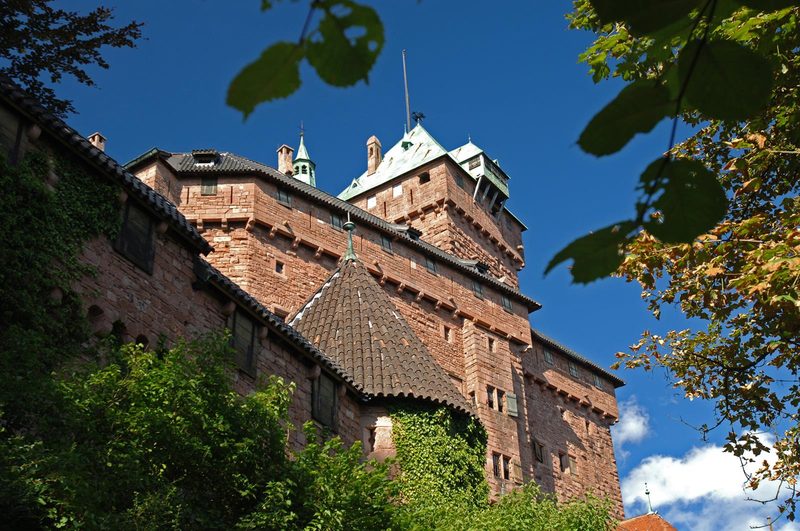 À l'assaut du Haut-Koenigsbourg
Kintzheim · Vosges
10.1 km · 382 m D+ · Loop
-
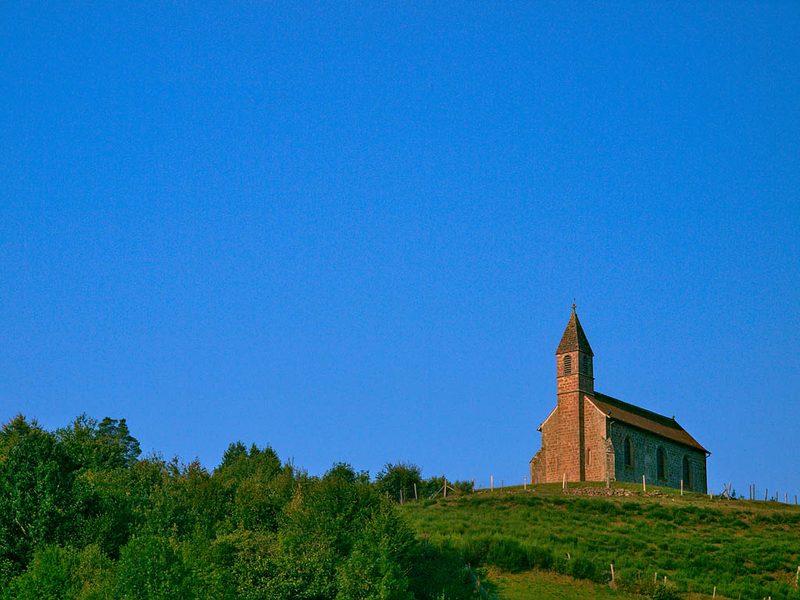 Circuit de la Haute-Chapelle
Saint-Quirin · Vosges
9.2 km · 227 m D+ · Loop
-
 Circuit de la Tour au Mont
Ottrott · Vosges
21.8 km · 993 m D+ · Loop
-
 Circuit des Légendes
Wangenbourg-Engenthal · Vosges
18.7 km · 866 m D+ · Loop
-
 Circuit du Sickertkopf
Dabo · Vosges
10.2 km · 353 m D+ · Loop
-
 Coucou et Frankenbourg
Breitenau · Vosges
14.5 km · 693 m D+ · Loop