Les Roches
Loop of 10.0 km with 416 m of climbing, starting from Bionville.
- distance
- 10.0 km
- elevation gain
- 416 m
- high point
- 655 m
The hike
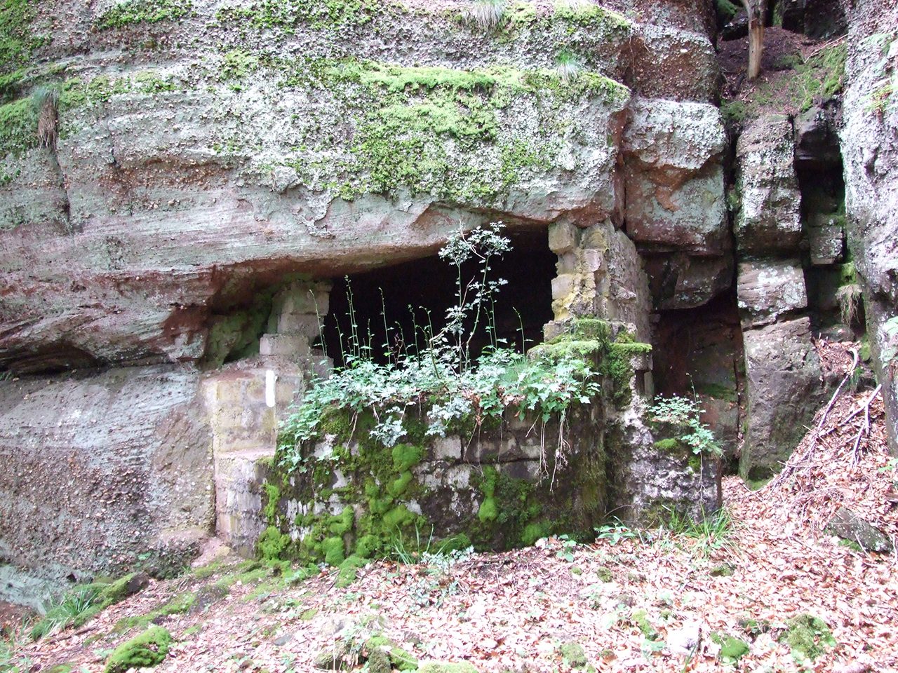
From the Circuit des Roches, the view over the Valley of the Plain is remarkable. In particular, it allows you to follow the evolution of the landscape: in the past, agriculture occupied an important place. The reduction of agricultural activity has led to the encroachment and and plantations of softwoods and poplars have changed the physiognomy of the place. Today, the valley bottom has been reopened and the landscapes restored
A beautiful salmon river in the Vosges mountains, the Plain is home to a remarkable population of fario trout. The site classified as a "Sensitive Natural Area" is punctuated with ponds, small streams and wet meadows favourable to the development of many protected animal and plant species. Actions for the protection of nature and the tourist and agricultural development are carried out
Between the Roche de l'Aigle and the Roches Ganaux, the route follows the route of the old German railway line. This narrow track supplied the La Chapelotte front with men, equipment, ammunition and concrete and allowed the evacuation of the wounded. The transport was done from Alsace: by train between the Col du Donon and Bionville (Black Colas district) then by the Roches Ganaux cable car (machine bases still visible). Numerous concrete structures and galleries bear witness to the military presence along the way.
More hikes nearby
-
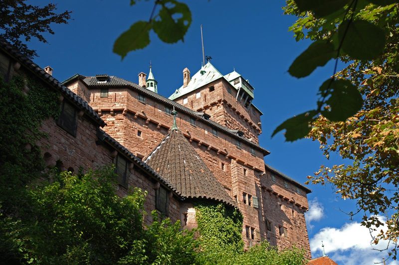 À l'assaut du Haut-Koenigsbourg
Kintzheim · Vosges
10.1 km · 382 m D+ · Loop
-
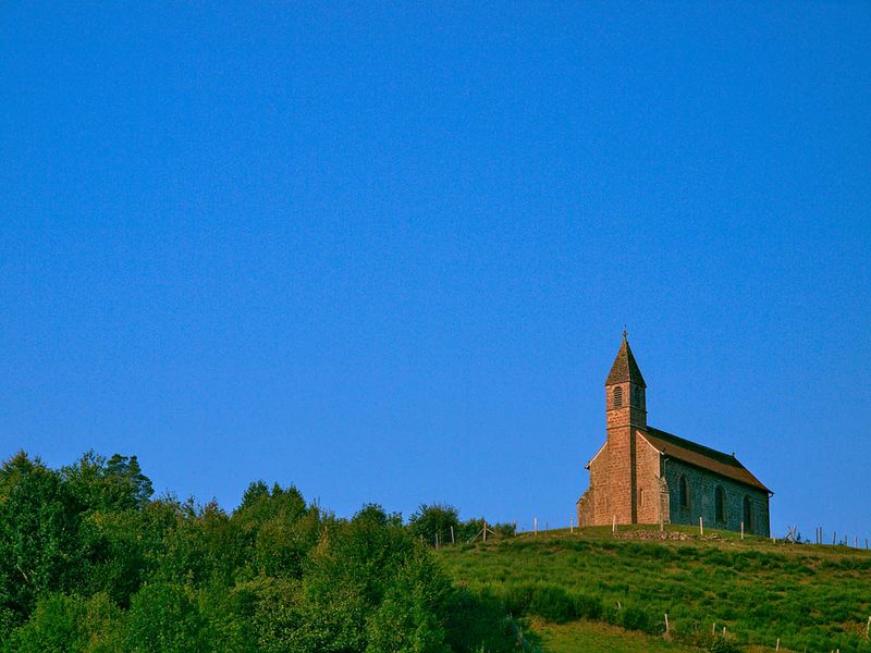 Circuit de la Haute-Chapelle
Saint-Quirin · Vosges
9.2 km · 227 m D+ · Loop
-
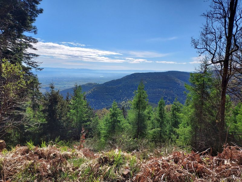 Circuit de la Tour au Mont
Ottrott · Vosges
21.8 km · 993 m D+ · Loop
-
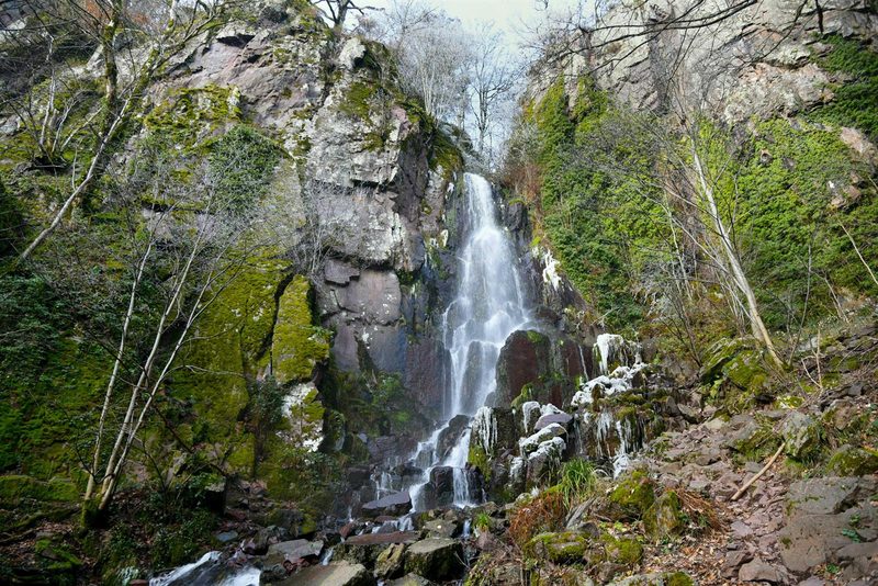 Circuit des Légendes
Wangenbourg-Engenthal · Vosges
18.7 km · 866 m D+ · Loop
-
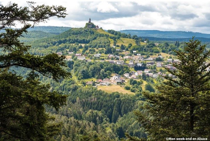 Circuit du Sickertkopf
Dabo · Vosges
10.2 km · 353 m D+ · Loop
-
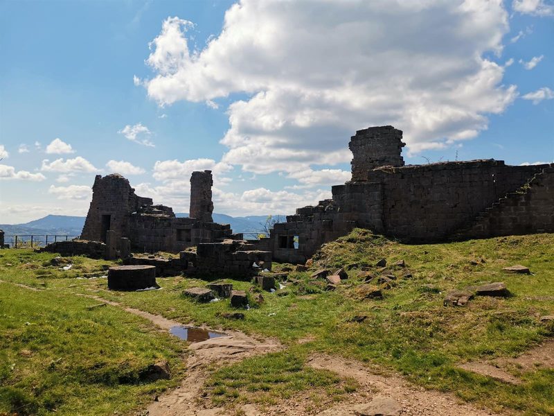 Coucou et Frankenbourg
Breitenau · Vosges
14.5 km · 693 m D+ · Loop