Roches de la Xaveur
Loop of 12.2 km with 221 m of climbing, starting from Pierre-Percée.
- distance
- 12.2 km
- elevation gain
- 221 m
- high point
- 482 m
0
386 m – 482 m
12.2 km
< 4 %4–8 %8–12 %12–18 %18–25 %> 25 %
The hike
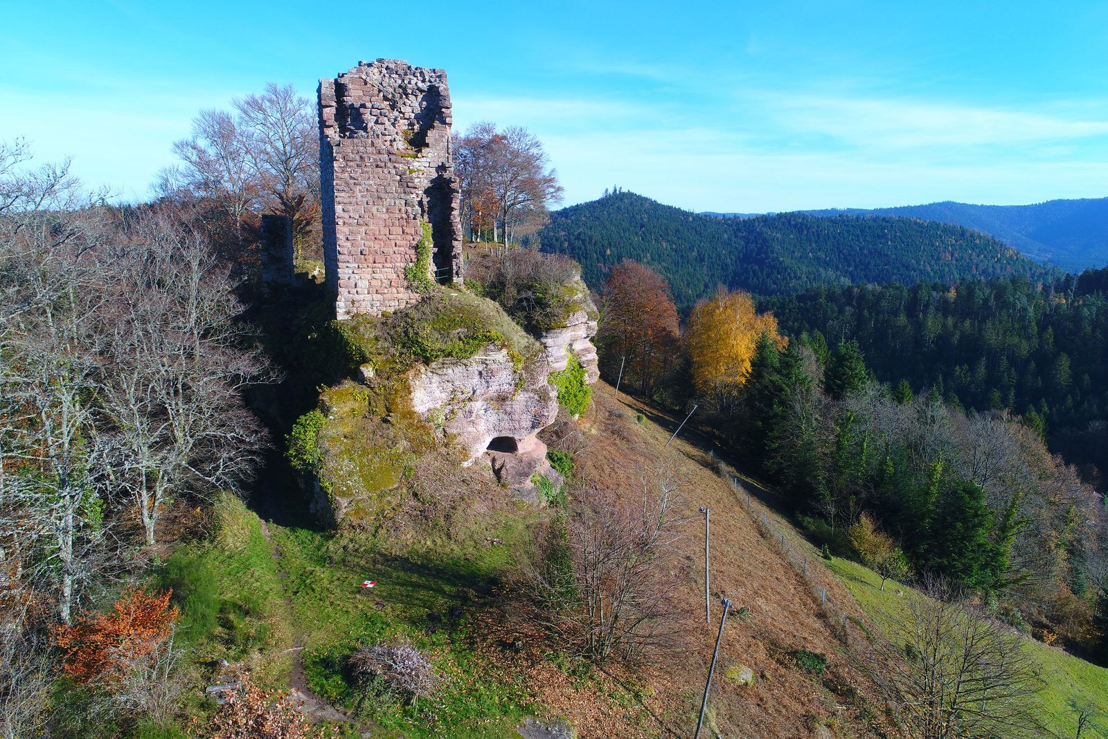
A lovely walk that will take you along the shores of Lac de Pierre-Percée to the surprising Roches de la Xaveure and Marie Fontaine. As a bonus, you'll pass through the charming village of Pierre-Percée and, when it's possible again, visit the ruins of Château de Salm and its magnificent view over the lake.
More hikes nearby
-
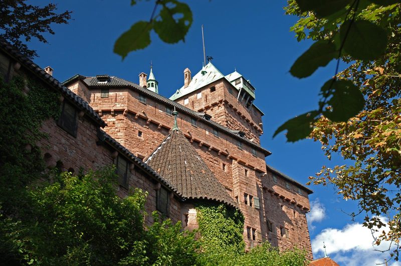 À l'assaut du Haut-Koenigsbourg
Kintzheim · Vosges
10.1 km · 382 m D+ · Loop
-
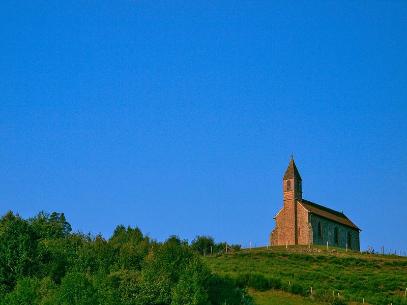 Circuit de la Haute-Chapelle
Saint-Quirin · Vosges
9.2 km · 227 m D+ · Loop
-
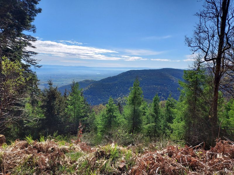 Circuit de la Tour au Mont
Ottrott · Vosges
21.8 km · 993 m D+ · Loop
-
 Circuit des Légendes
Wangenbourg-Engenthal · Vosges
18.7 km · 866 m D+ · Loop
-
 Circuit du Sickertkopf
Dabo · Vosges
10.2 km · 353 m D+ · Loop
-
 Coucou et Frankenbourg
Breitenau · Vosges
14.5 km · 693 m D+ · Loop