L'Aves
Loop of 12.3 km with 539 m of climbing, starting from Vialas.
- distance
- 12.3 km
- elevation gain
- 539 m
- high point
- 843 m
0
426 m – 843 m
12.3 km
< 4 %4–8 %8–12 %12–18 %18–25 %> 25 %
The hike
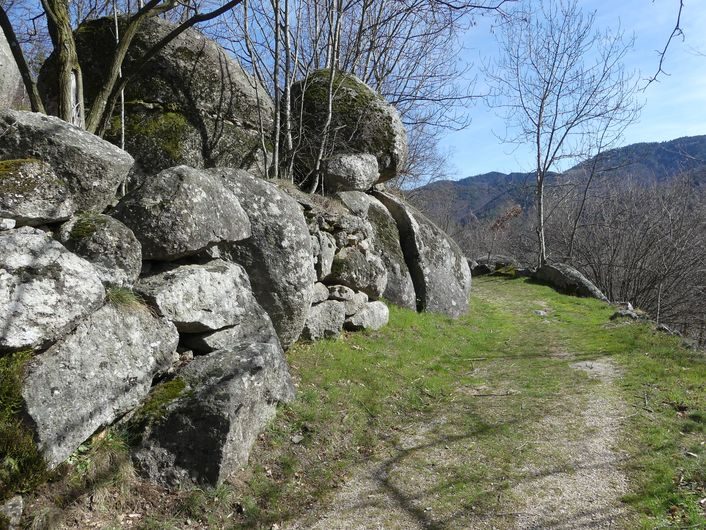
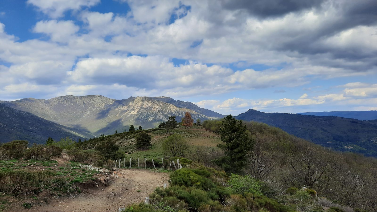
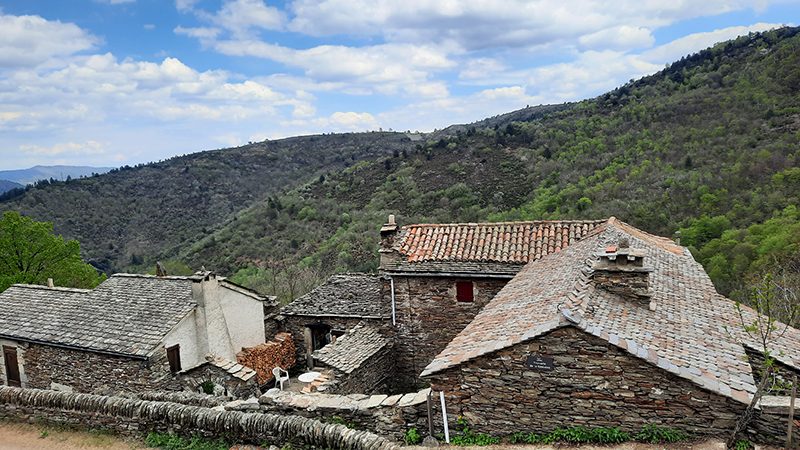
A rich heritage to discover, including hamlets with typical architecture, landart in dry-stone walls and the Bonijol mill, restored by stone enthusiasts!
More hikes nearby
-
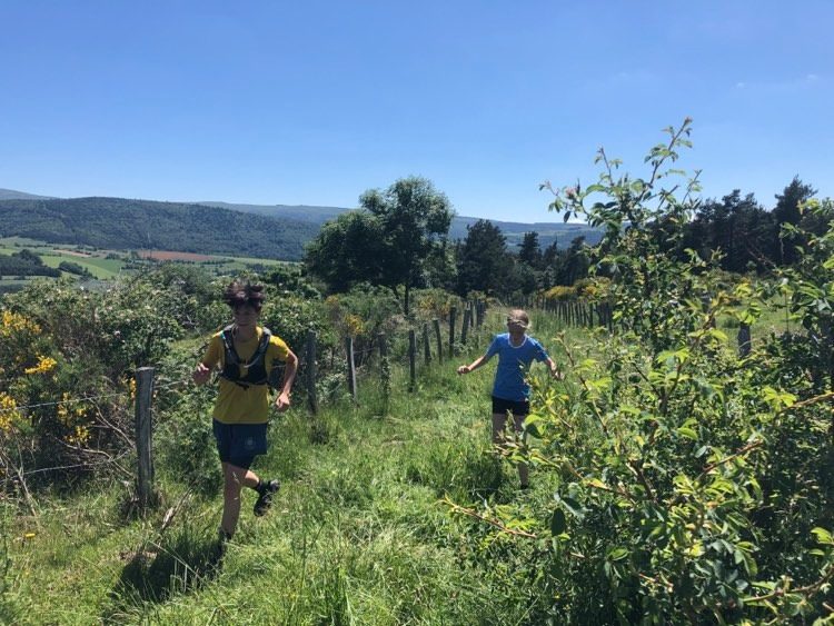 Château du Tournel
Mont Lozère et Goulet · Mont Lozère
20.5 km · 811 m D+ · Loop
-
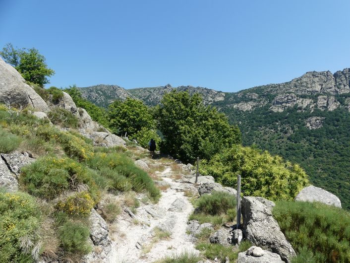 Gourdouze
Vialas · Mont Lozère
14.2 km · 893 m D+ · Loop
-
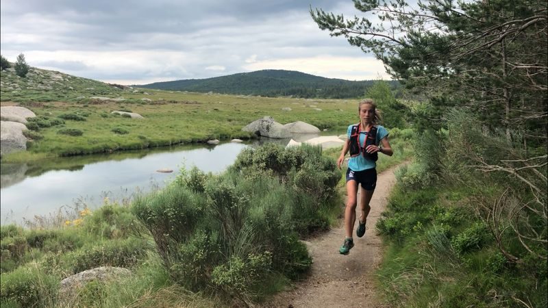 Pont du Tarn
Pont de Montvert - Sud Mont Lozère · Mont Lozère
18.5 km · 620 m D+ · Loop
-
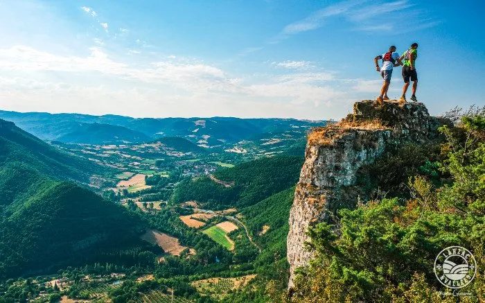 Circuit du Roc Nantais
Nant · Causse du Larzac
30.1 km · 1,368 m D+ · Loop
-
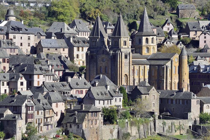 Conques – Le chemin de Dadon
Conques-en-Rouergue · Vallée du Lot
19.9 km · 970 m D+ · Loop
-
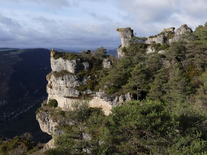 Corniches du Méjean
Le Rozier · Causse Méjean
11.4 km · 571 m D+ · Loop