La vallée de la Dathée
Loop of 14.1 km with 196 m of climbing, starting from Noues de Sienne.
- distance
- 14.1 km
- elevation gain
- 196 m
- high point
- 337 m
0
238 m – 337 m
14.1 km
< 4 %4–8 %8–12 %12–18 %18–25 %> 25 %
The hike
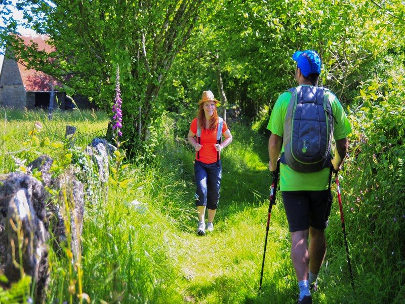
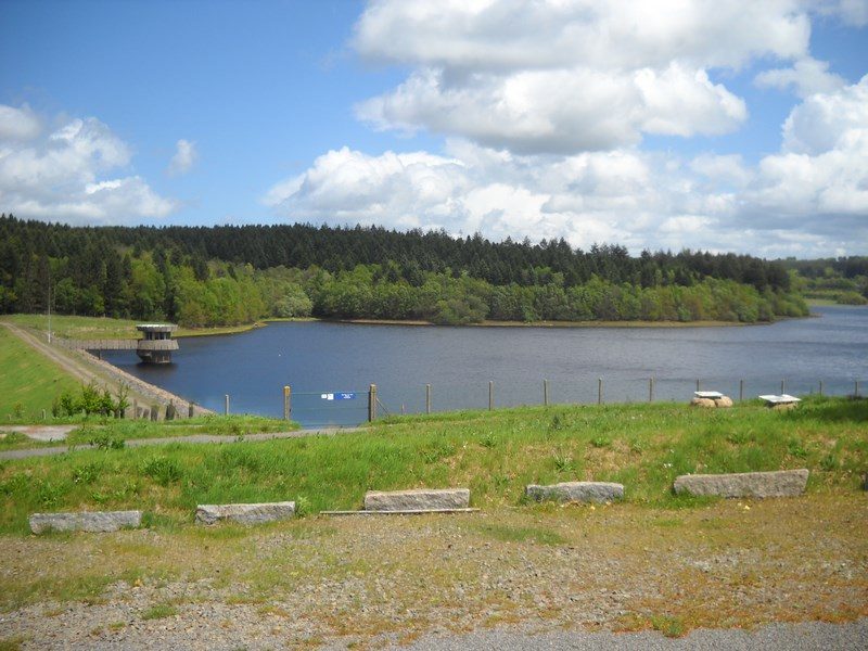
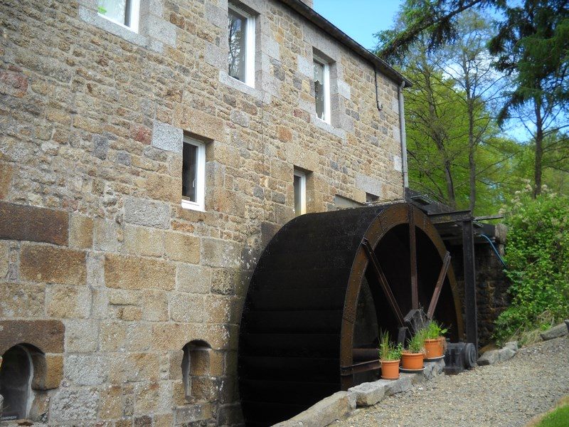
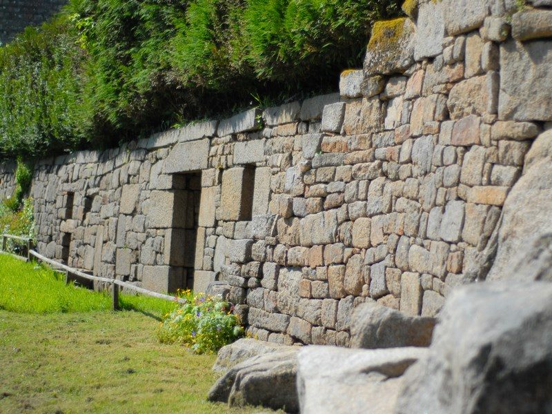
Hollow paths lined with stakes, pastures with granite blocks, the vestiges of mills on the Dathée, and several calvaries all bear witness to the area’s bygone granite mining and papermaking industry. Take a stroll through the land of ‘Vire blue’ granite, one of the hardest stones in the world! Extract from the topographical guide Le Calvados...à pied®
More hikes nearby
-
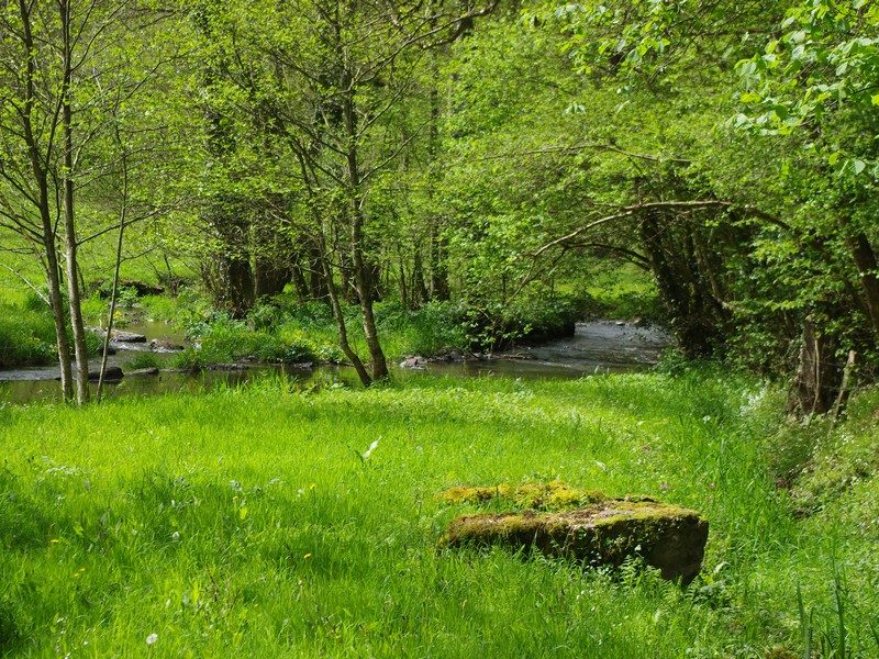 Du Roucamps à la Souleuvre
Souleuvre en Bocage · Bocage virois
16.9 km · 336 m D+ · Loop
-
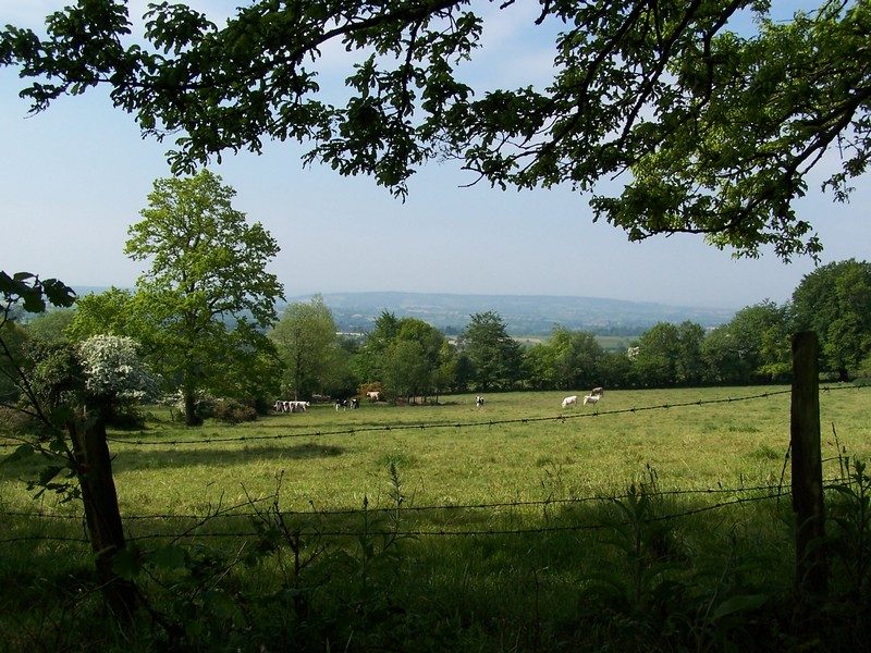 Le sentier des bruyères
Brémoy · Bocage virois
16.2 km · 332 m D+ · Loop
-
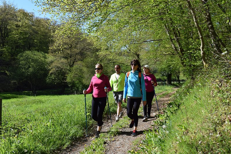 Sur les traces des templiers
Valdallière · Bocage virois
19.1 km · 258 m D+ · Loop
-
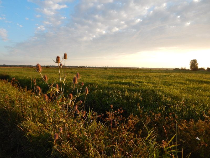 De ponts en passerelles
Longueville · Bessin
12.6 km · 36 m D+ · Loop
-
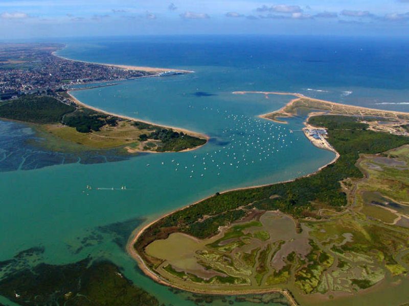 La baie de Sallenelles
Sallenelles · Estuaire de l'Orne
14.9 km · 41 m D+ · Loop
-
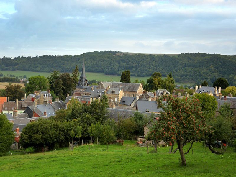 Les hauts vents
Clécy · Suisse normande
10.6 km · 327 m D+ · Loop