Les hauts vents
Loop of 10.6 km with 327 m of climbing, starting from Clécy.
- distance
- 10.6 km
- elevation gain
- 327 m
- high point
- 203 m
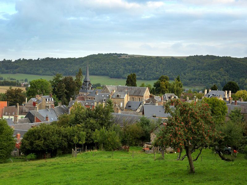
0
48 m – 203 m
10.6 km
< 4 %4–8 %8–12 %12–18 %18–25 %> 25 %
The hike
An 11km trail around Clécy. In the vicinity of the natural site called L’Eminence, at an altitude of 253m. Its summit offers superb views over the valley, the Rochers de la Houle and the Pain de Sucre. A detour not to be missed!
More hikes nearby
-
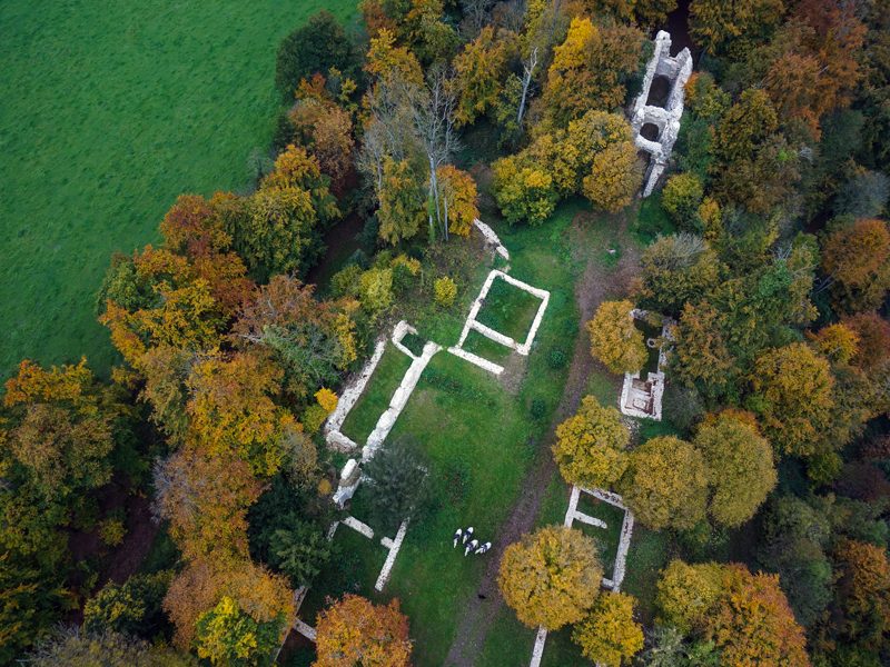 Les Rochers de Brisevieille
La Pommeraye · Suisse normande
9.5 km · 303 m D+ · Loop
-
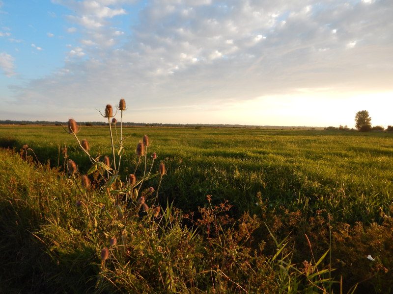 De ponts en passerelles
Longueville · Bessin
12.6 km · 36 m D+ · Loop
-
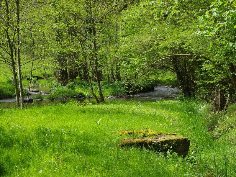 Du Roucamps à la Souleuvre
Souleuvre en Bocage · Bocage virois
16.9 km · 336 m D+ · Loop
-
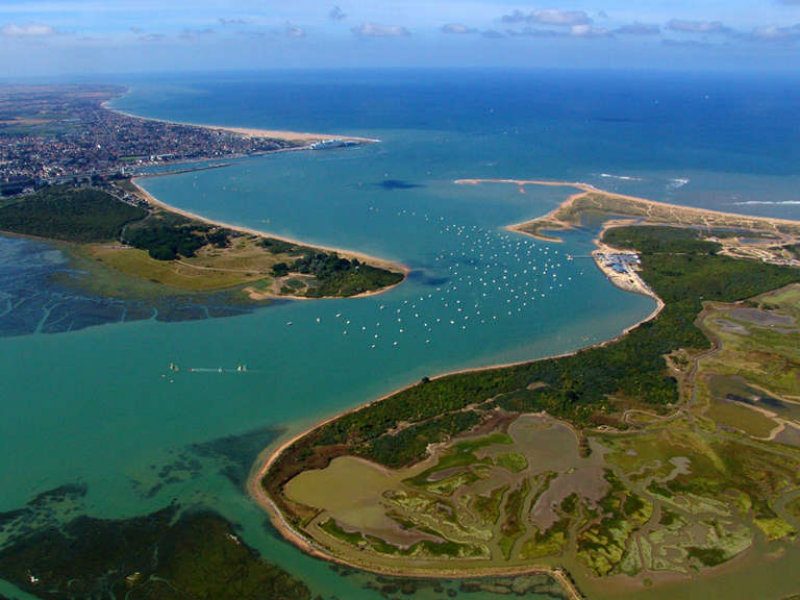 La baie de Sallenelles
Sallenelles · Estuaire de l'Orne
14.9 km · 41 m D+ · Loop
-
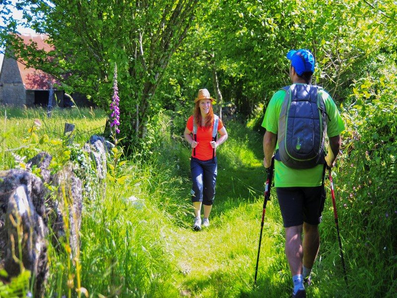 La vallée de la Dathée
Noues de Sienne · Bocage virois
14.1 km · 196 m D+ · Loop
-
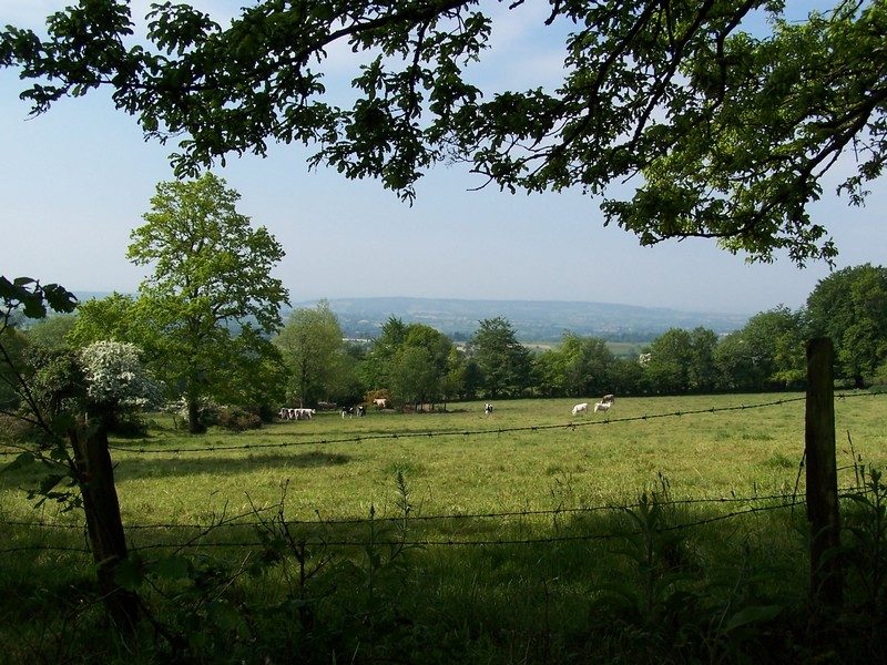 Le sentier des bruyères
Brémoy · Bocage virois
16.2 km · 332 m D+ · Loop