Le sentier des bruyères
Loop of 16.2 km with 332 m of climbing, starting from Brémoy.
- distance
- 16.2 km
- elevation gain
- 332 m
- high point
- 352 m
0
190 m – 352 m
16.2 km
< 4 %4–8 %8–12 %12–18 %18–25 %> 25 %
The hike
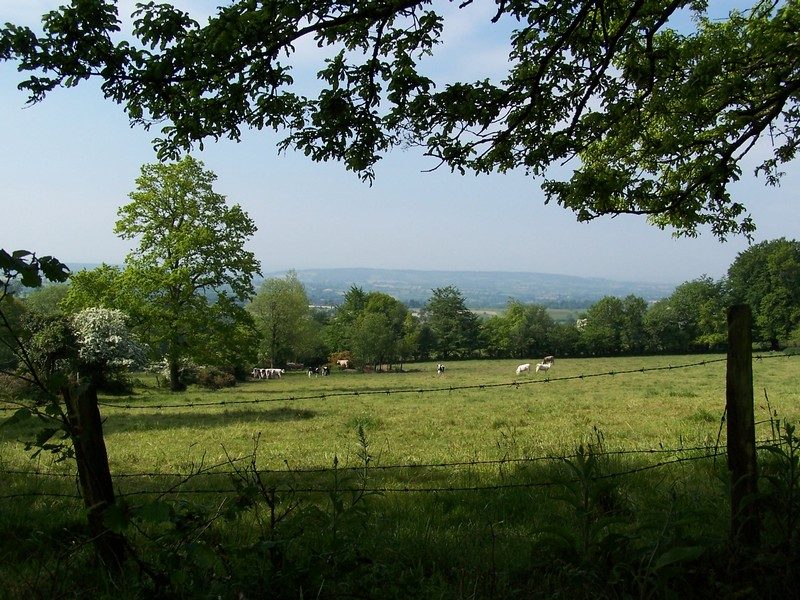
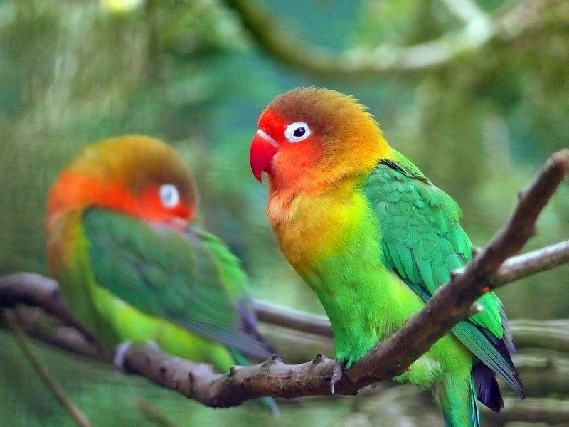
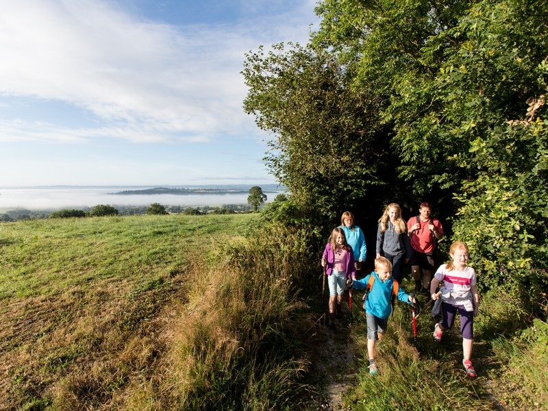
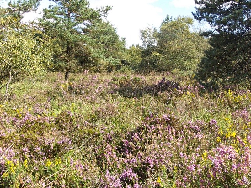
Alternating hedgerowed and semi-open landscapes are what characterise this trail which then enters the Brimbois Wood, the highest point of which (358m) is by the Jurques Zoological Park. A few heathers and pretty viewpoints are sure to delighted visitors in quest of varying landscapes.
More hikes nearby
-
 Du Roucamps à la Souleuvre
Souleuvre en Bocage · Bocage virois
16.9 km · 336 m D+ · Loop
-
 La vallée de la Dathée
Noues de Sienne · Bocage virois
14.1 km · 196 m D+ · Loop
-
 Sur les traces des templiers
Valdallière · Bocage virois
19.1 km · 258 m D+ · Loop
-
 De ponts en passerelles
Longueville · Bessin
12.6 km · 36 m D+ · Loop
-
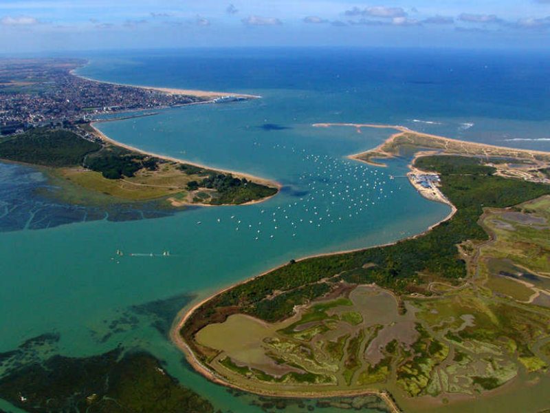 La baie de Sallenelles
Sallenelles · Estuaire de l'Orne
14.9 km · 41 m D+ · Loop
-
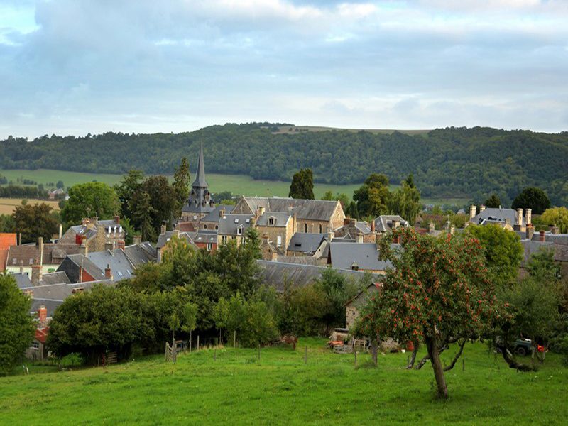 Les hauts vents
Clécy · Suisse normande
10.6 km · 327 m D+ · Loop