Le Mont Mouchet
Loop of 13.0 km with 369 m of climbing, starting from Paulhac-en-Margeride.
- distance
- 13.0 km
- elevation gain
- 369 m
- high point
- 1,495 m
0
1,152 m – 1,495 m
13.0 km
< 4 %4–8 %8–12 %12–18 %18–25 %> 25 %
The hike
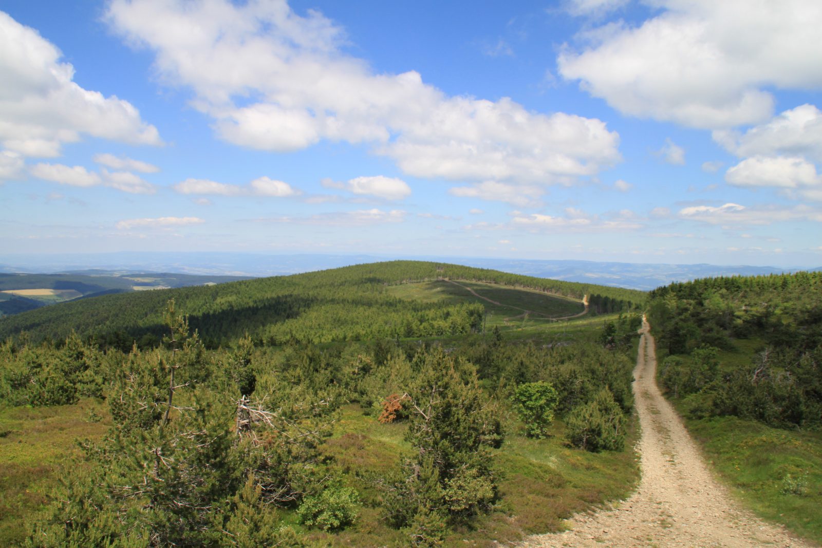
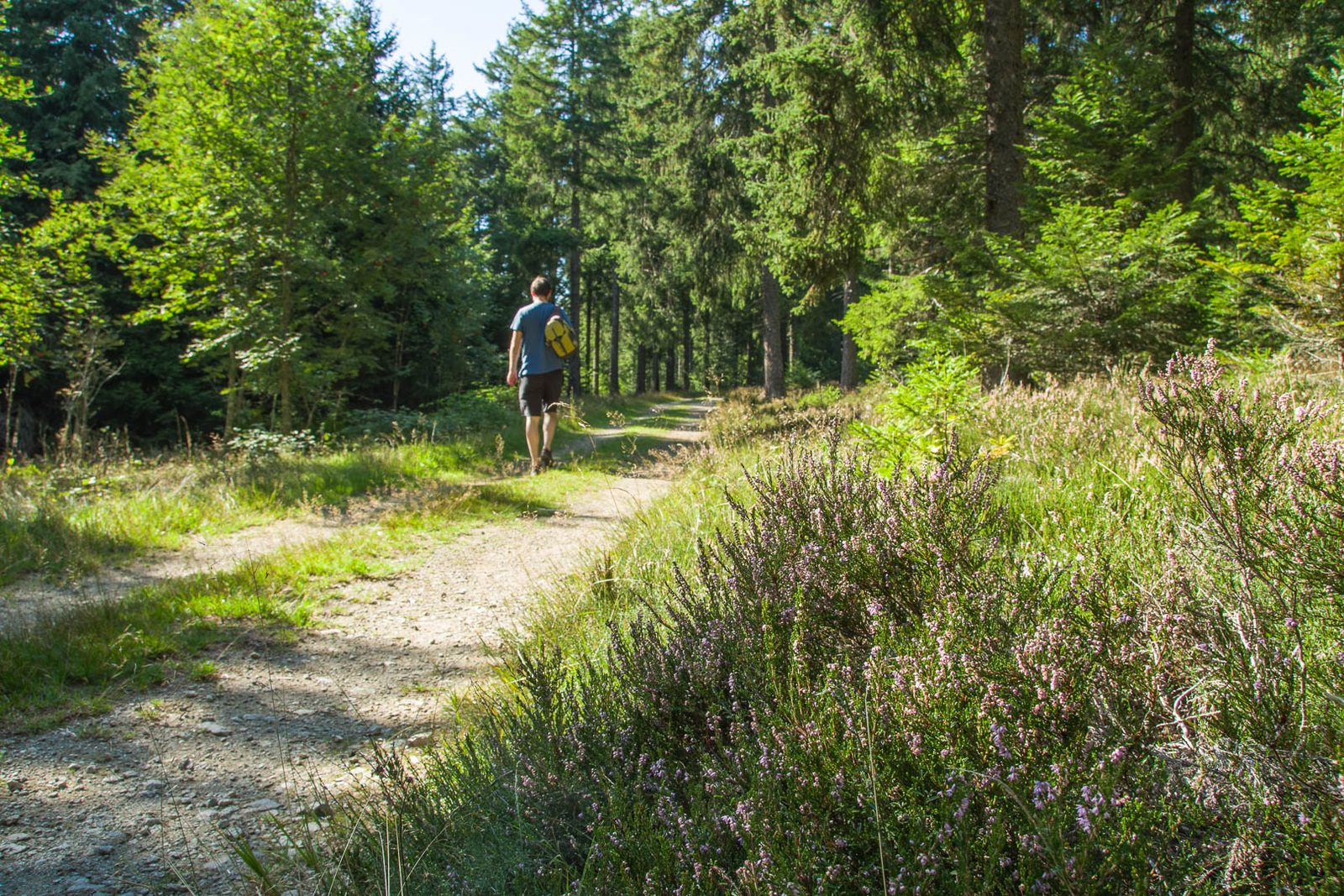
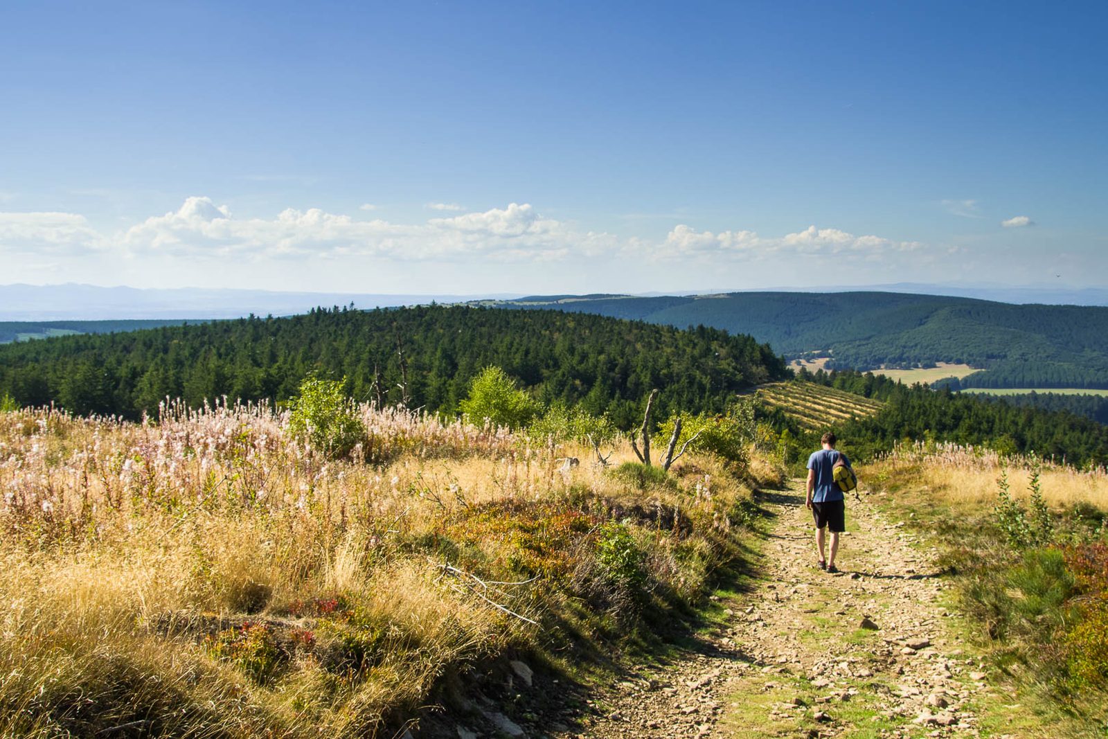
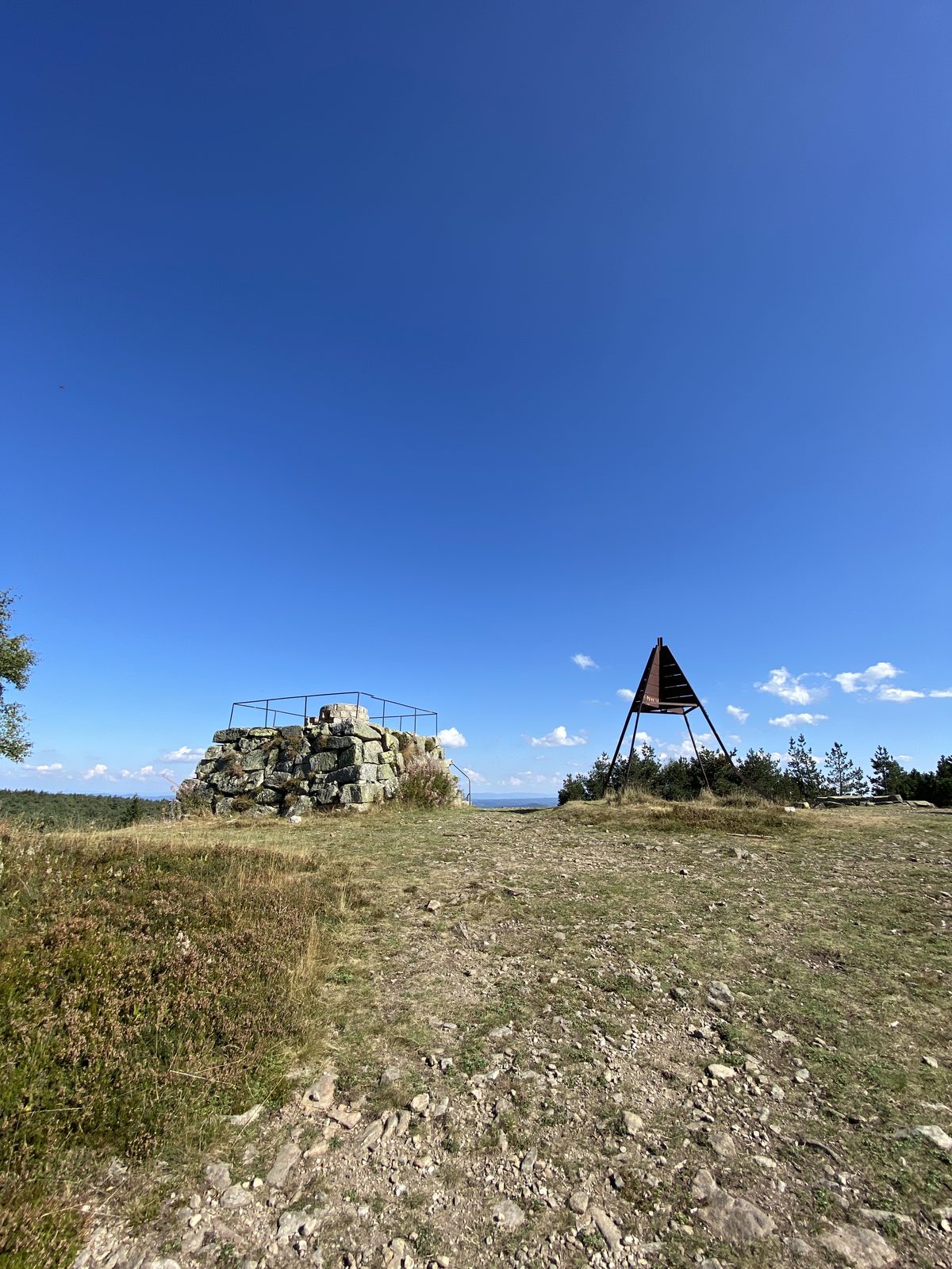
Discover the forests of Mont Mouchet. Between 1764 and 1767, the famous Beast of Gévaudan ruled these mountains, but more recently, in June 1944, they were the scene of several battles between the Maquis resistance fighters and Nazi troops, right up to the liberation of France. So it's through paths filled with history that you'll hike in the shade of the trees to the highlight of this walk, the Mont Mouchet orientation table. Here, a superb 360° view awaits you before you descend to the village of Paulhac-en-Margeride.
More hikes nearby
-
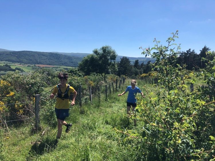 Château du Tournel
Mont Lozère et Goulet · Mont Lozère
20.5 km · 811 m D+ · Loop
-
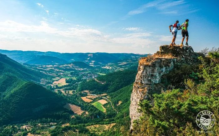 Circuit du Roc Nantais
Nant · Causse du Larzac
30.1 km · 1,368 m D+ · Loop
-
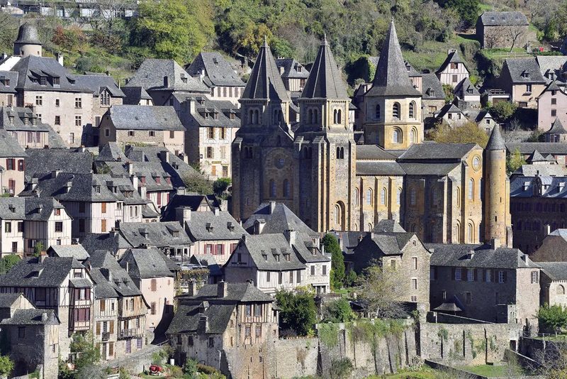 Conques – Le chemin de Dadon
Conques-en-Rouergue · Vallée du Lot
19.9 km · 970 m D+ · Loop
-
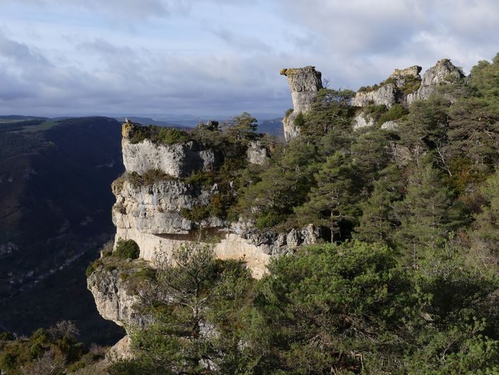 Corniches du Méjean
Le Rozier · Causse Méjean
11.4 km · 571 m D+ · Loop
-
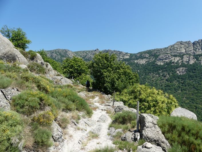 Gourdouze
Vialas · Mont Lozère
14.2 km · 893 m D+ · Loop
-
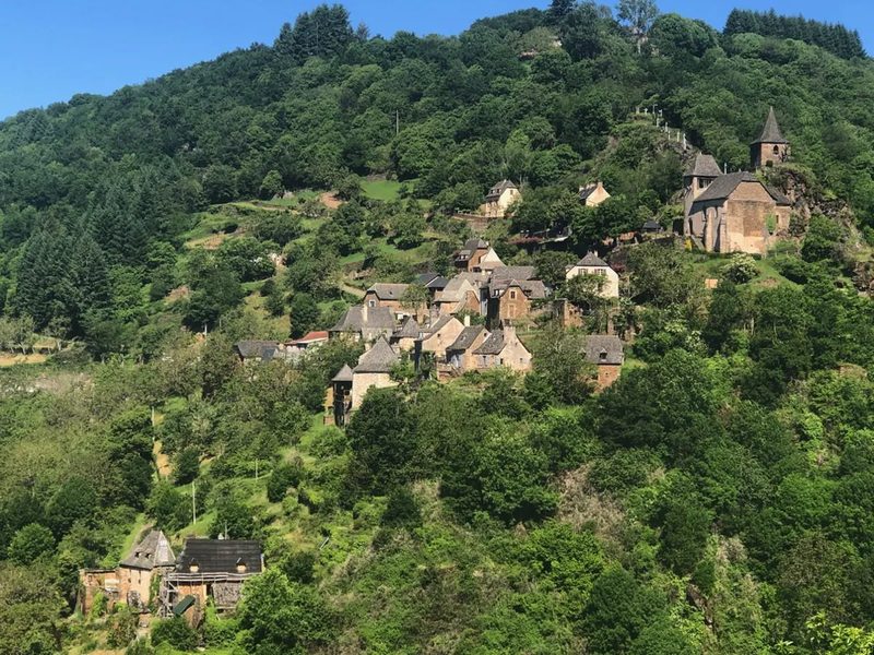 Grand-Vabre
Conques-en-Rouergue · Vallée du Lot
21.1 km · 912 m D+ · Loop