La cascade depuis plombières
Loop of 18.3 km with 442 m of climbing, starting from Plombières-les-Bains.
- distance
- 18.3 km
- elevation gain
- 442 m
- high point
- 593 m
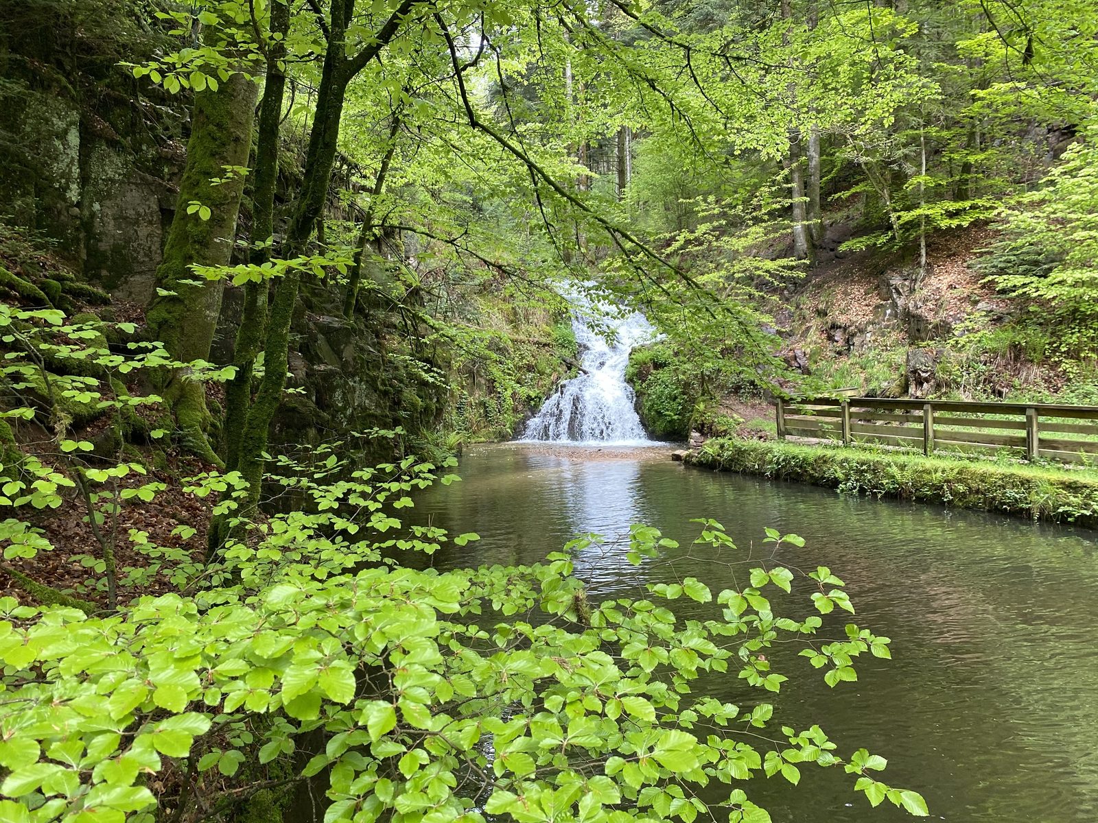
The hike
Access : From Remiremont, take the Plombières-les-Bains exit
Parking : Parking de la Promenade, on the left coming from Remiremont
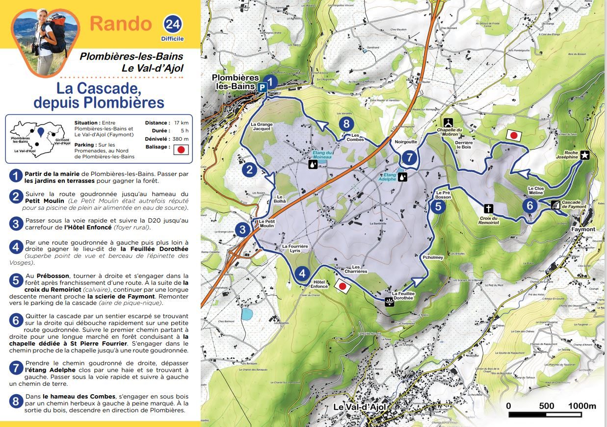
1) Leave from the town hall of Plombières-les-Bains. Go through the terraced gardens to reach the forest.
2) Follow the asphalt road to the hamlet of Petit Moulin (Le Petit Moulin was once famous for its open-air swimming pool supplied with spring water).
3) Pass under the expressway and follow the D20 to the crossroads of the Hôtel Enfoncé (foyer rural).
4) By a tarred road on the left, then further on the right, reach the place called Feuillée Dorothée (superb viewpoint and home of the Vosges spruce).
5) At Prébosson, turn right and go into the forest after crossing a road. After the cross of Remoiriot (calvary), continue by a long descent leading to the sawmill of Faymont. Go up to the parking of the waterfall (picnic area)
6) Leave the waterfall by a steep path on the right that quickly leads to a small paved road. Follow the first path on the right for a long walk in the forest leading to the chapel dedicated to St Pierre Fourrier. Take the path near the chapel until you reach a paved road.
7) Take the tarred road on the right, pass the Adelphe pond enclosed by a hedge and on the left. Pass under the expressway and follow a dirt road to the left.
8) In the hamlet of Les Combes, go into the undergrowth by a grassy path on the left, barely marked. At the end of the wood, go down in the direction of Plombières.
More hikes nearby
-
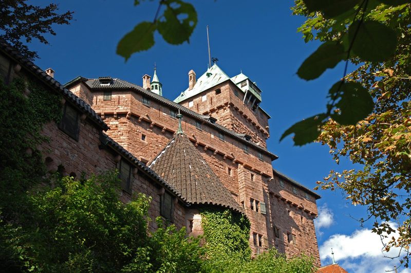 À l'assaut du Haut-Koenigsbourg
Kintzheim · Vosges
10.1 km · 382 m D+ · Loop
-
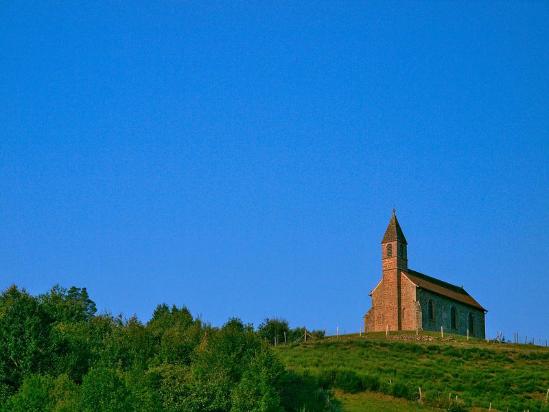 Circuit de la Haute-Chapelle
Saint-Quirin · Vosges
9.2 km · 227 m D+ · Loop
-
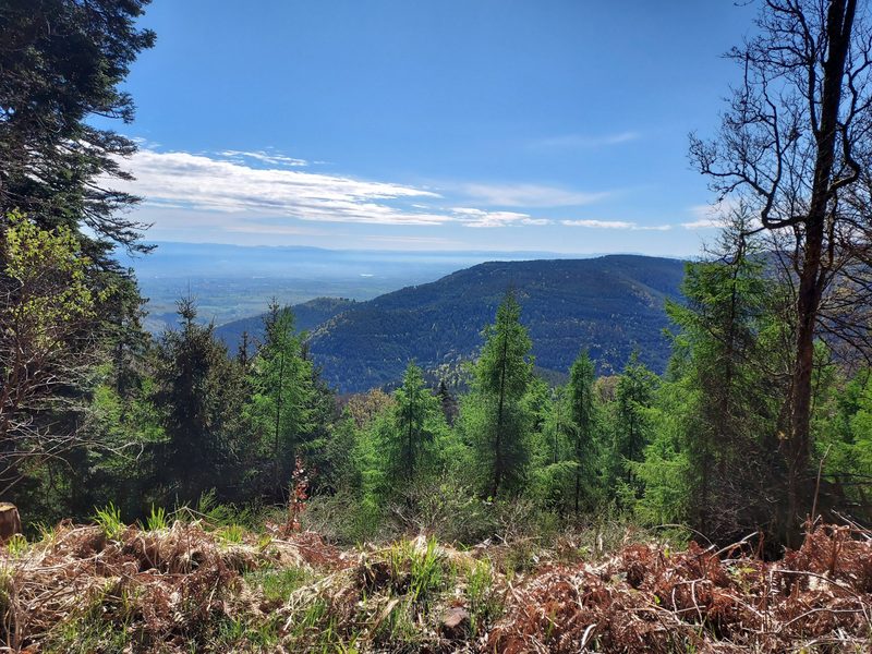 Circuit de la Tour au Mont
Ottrott · Vosges
21.8 km · 993 m D+ · Loop
-
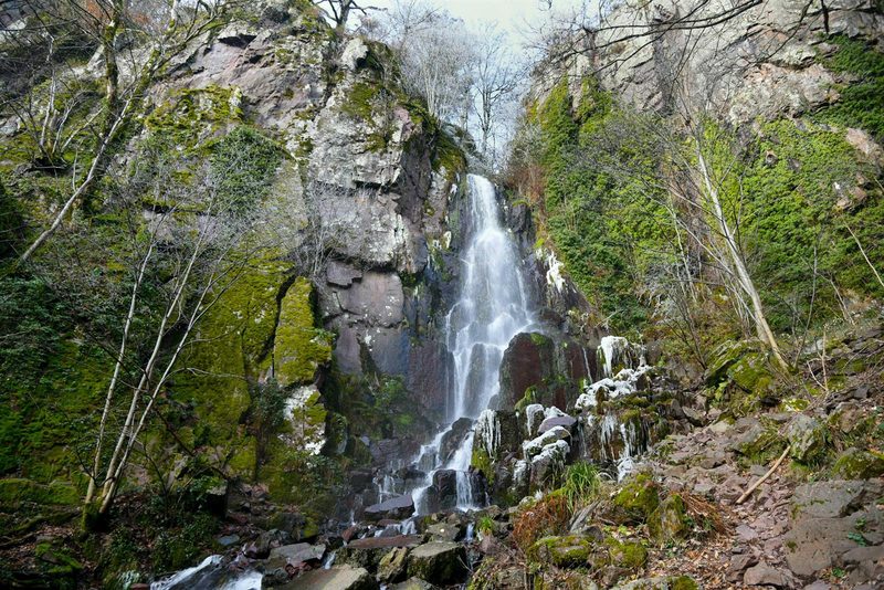 Circuit des Légendes
Wangenbourg-Engenthal · Vosges
18.7 km · 866 m D+ · Loop
-
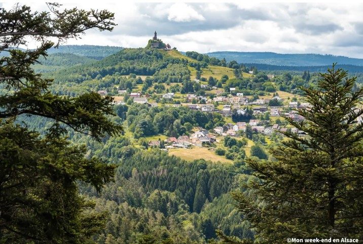 Circuit du Sickertkopf
Dabo · Vosges
10.2 km · 353 m D+ · Loop
-
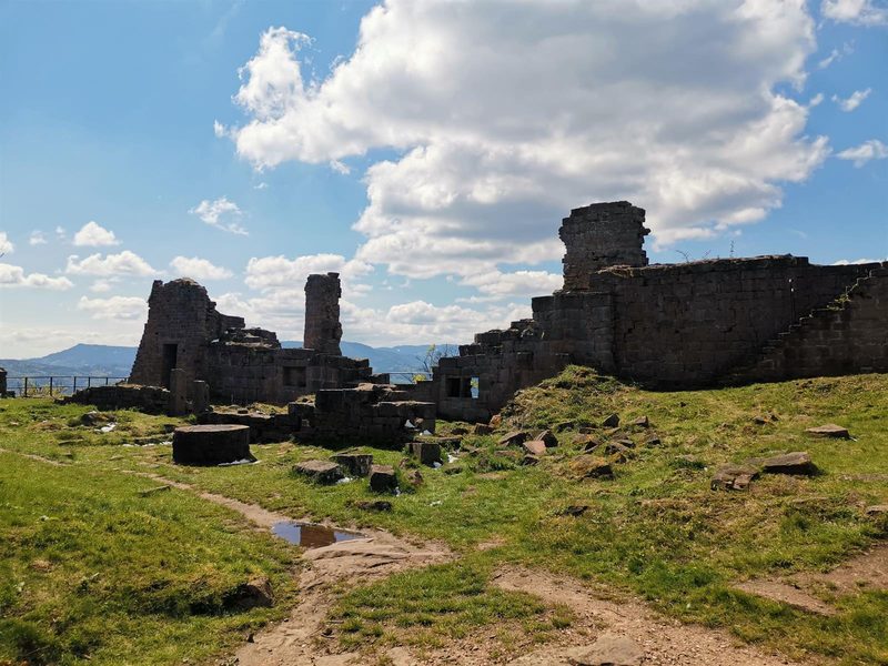 Coucou et Frankenbourg
Breitenau · Vosges
14.5 km · 693 m D+ · Loop