La Forêt des Lauriers
Loop of 7.2 km with 213 m of climbing, starting from Hargnies.
- distance
- 7.2 km
- elevation gain
- 213 m
- high point
- 361 m
0
217 m – 361 m
7.2 km
< 4 %4–8 %8–12 %12–18 %18–25 %> 25 %
The hike
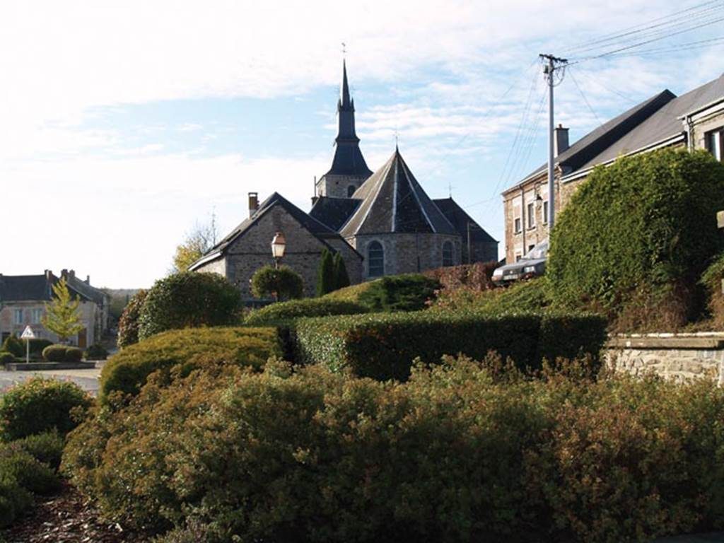
You'll like it: - The Fountain of the Pilgrims and the source of the Palis. - Hargnies is surrounded by water from many springs and streams. - A chapel in honour of the patron saint of Hargnies was built by the inhabitants of the village. Note: 7 km circuitTime of the course: 2 hours 20A avoid from October to January: Sundays: hunting.
More hikes nearby
-
 À la découverte de Buzancy
Buzancy · Ardennes
5.1 km · 24 m D+ · Loop
-
 Boucle de la Chambre aux loups
Vouziers · Ardennes
9.3 km · 65 m D+ · Loop
-
 La Boucle de Château-Porcien
Château-Porcien · Ardennes
7.3 km · 86 m D+ · Loop
-
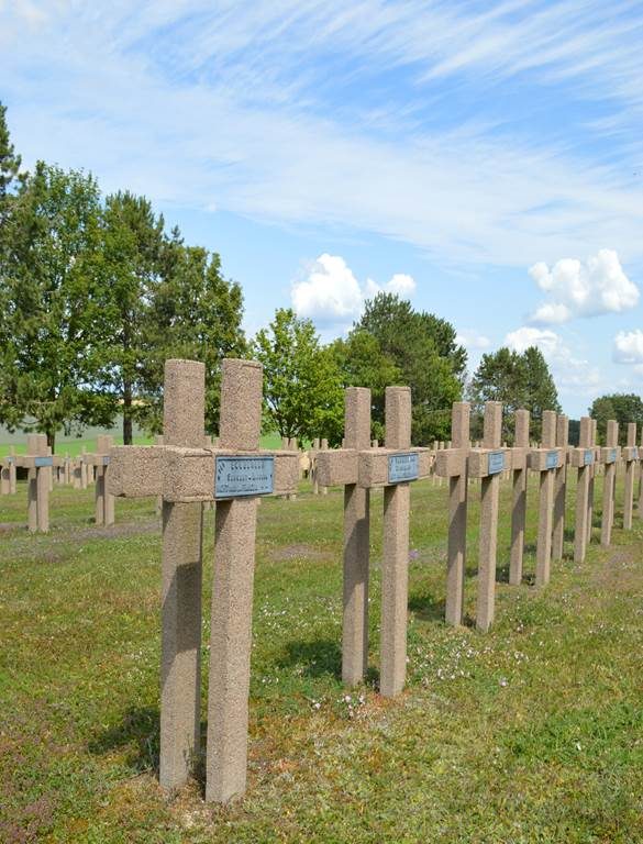 Semide dans la Grande Guerre
Semide · Ardennes
6.7 km · 33 m D+ · Loop
-
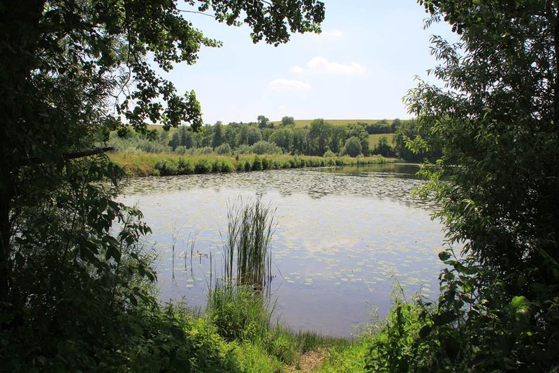 Sentier découverte du Vieil-Étang de Bairon
Bairon et ses environs · Ardennes
4.5 km · 0 m D+ · Loop
-
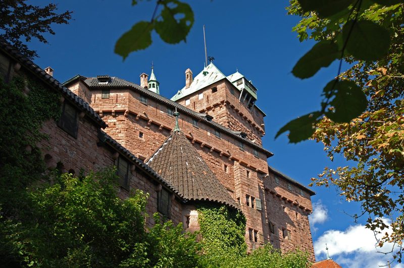 À l'assaut du Haut-Koenigsbourg
Kintzheim · Vosges
10.1 km · 382 m D+ · Loop