Sainte-Foy-de-Montgommery : Sur les pas de Fernand Léger
Loop of 17.2 km with 251 m of climbing, starting from Val-de-Vie.
- distance
- 17.2 km
- elevation gain
- 251 m
- high point
- 207 m
0
87 m – 207 m
17.2 km
< 4 %4–8 %8–12 %12–18 %18–25 %> 25 %
The hike
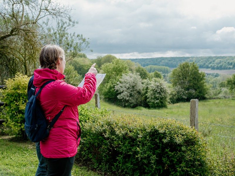
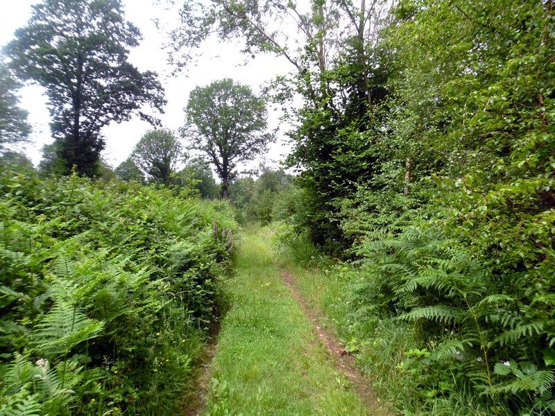
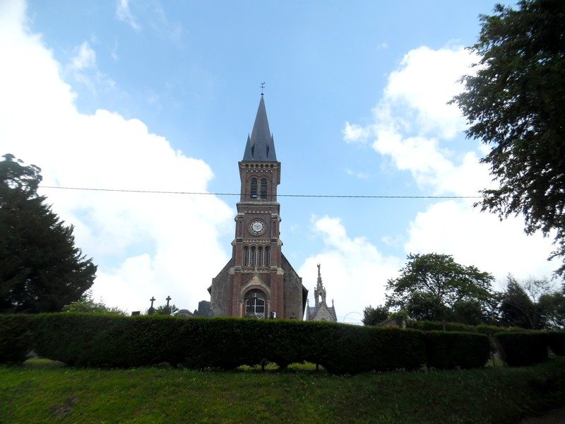
Home to the Montgommery’s, these undulating lands on the border between Calvados and Orne, inspired a great artist who left his mark here.
More hikes nearby
-
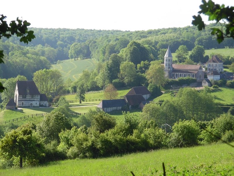 Tordouet : Aller de douet en douet
Valorbiquet · Pays d'Auge
9.3 km · 141 m D+ · Loop
-
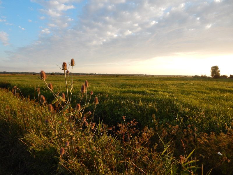 De ponts en passerelles
Longueville · Bessin
12.6 km · 36 m D+ · Loop
-
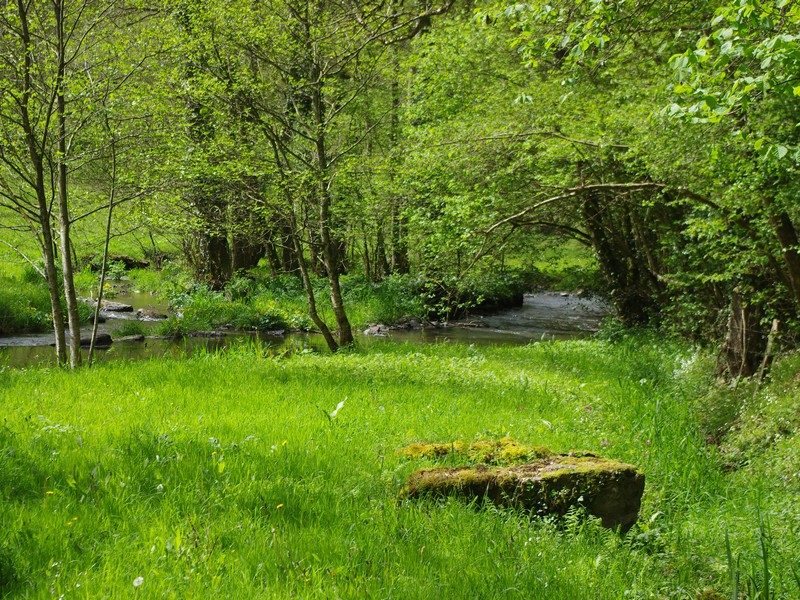 Du Roucamps à la Souleuvre
Souleuvre en Bocage · Bocage virois
16.9 km · 336 m D+ · Loop
-
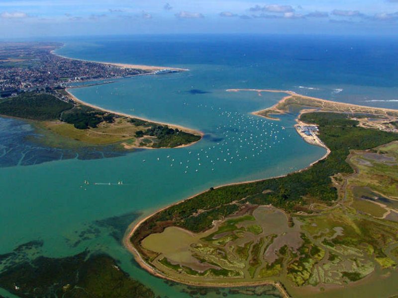 La baie de Sallenelles
Sallenelles · Estuaire de l'Orne
14.9 km · 41 m D+ · Loop
-
 La vallée de la Dathée
Noues de Sienne · Bocage virois
14.1 km · 196 m D+ · Loop
-
 Le sentier des bruyères
Brémoy · Bocage virois
16.2 km · 332 m D+ · Loop