St-Guiral Vertical
One way of 10.7 km with 874 m of climbing, starting from Saint-Jean-du-Bruel.
- distance
- 10.7 km
- elevation gain
- 874 m
- high point
- 1,328 m
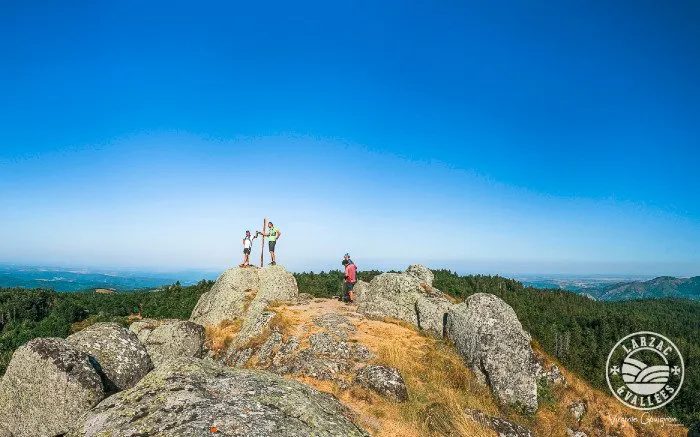
The hike
Start / Finish : Base de loisirs de la Roque (D114), St-Jean du Bruel
The duration of the course can vary from 1h15 to 2h30 according to the level of the practitioner
1- From the parking lot, go to the hamlet of Viala, cross it.
2- At the exit of the hamlet, only after 400m of flatness, take the path on the right. The ascent starts on this path going up in big laces in a beautiful forest to reach a huge rocky slab, forming a very distinctive triangle of cliffs, a very technical passage, beautiful rockery where caution and vigilance are required.
3- After this natural obstacle with 235m+ swallowed (km 2,6 and 764m alt.), go to the right to the mountain of Labarthe, this long ridge which undulates in the broom above the brook of Viala and the hamlets embedded in this deep valley, Refregiès and Le Serieys
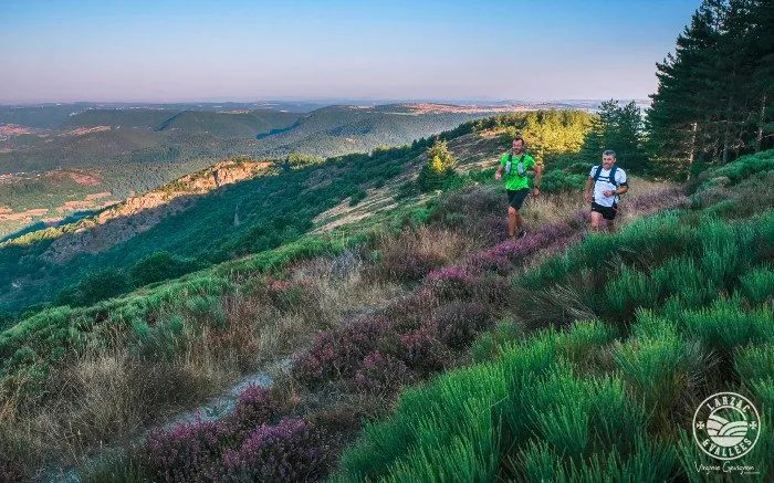
4 - Near the pointe du Pal (km 6,9 and 1120 m alt.), the route becomes gentler as soon as you reach this beautiful balcony track to reach the col de la Guérite (km 8,9 and 1150m alt.).
5- After this big forest crossroads, climb for the last part of this KM Vertical (1,8 km and 180 m+) to see the summit of St-Guiral which emerges like a rocket in this small oasis of heather. The final point of this ascent is the entrance to the Cevennes Park at 80 m from the St-Guiral which is not climbable.
Return to the starting point by the same path as the first one or by the circuit n°22 St-Guiral Circus (about 18km to St-Jean).
Recommendations:
Water reserve of 1.5 l essential, windbreaker and energy reserve.
Find all the trail circuits of Larzac and the Valleys by clicking here
More hikes nearby
-
 Château du Tournel
Mont Lozère et Goulet · Mont Lozère
20.5 km · 811 m D+ · Loop
-
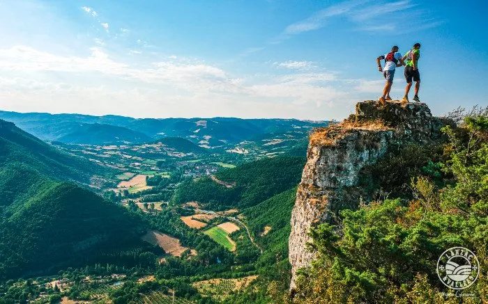 Circuit du Roc Nantais
Nant · Causse du Larzac
30.1 km · 1,368 m D+ · Loop
-
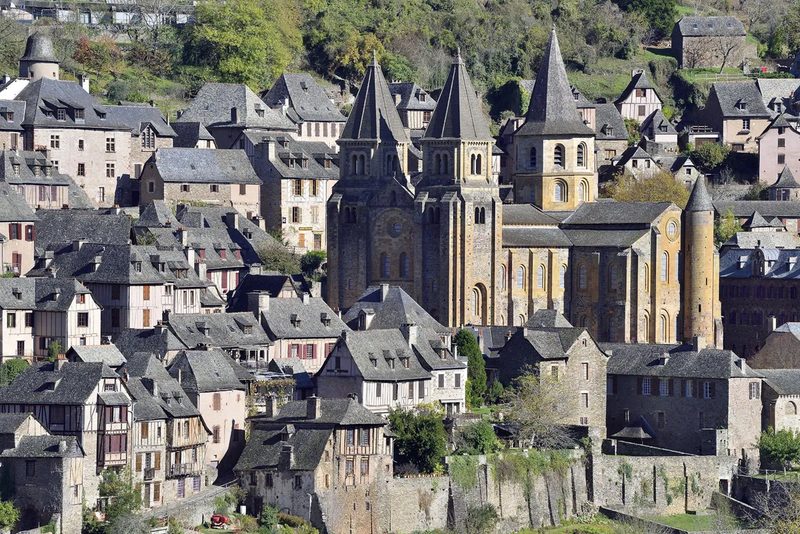 Conques – Le chemin de Dadon
Conques-en-Rouergue · Vallée du Lot
19.9 km · 970 m D+ · Loop
-
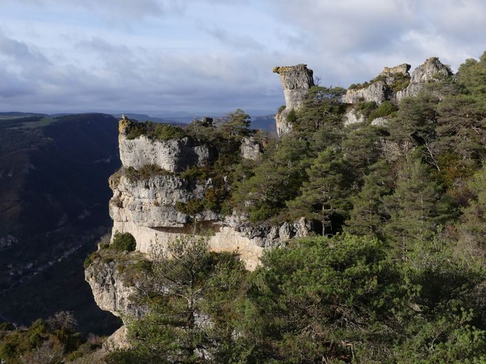 Corniches du Méjean
Le Rozier · Causse Méjean
11.4 km · 571 m D+ · Loop
-
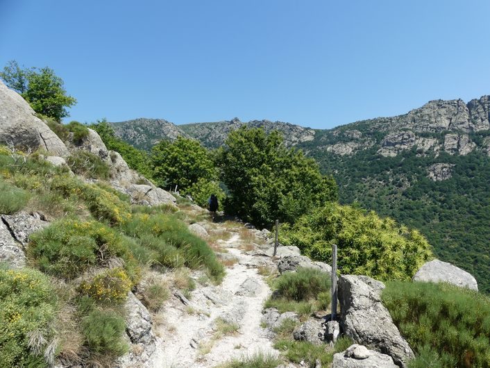 Gourdouze
Vialas · Mont Lozère
14.2 km · 893 m D+ · Loop
-
 Grand-Vabre
Conques-en-Rouergue · Vallée du Lot
21.1 km · 912 m D+ · Loop