La vallée de la Moselle
Loop of 19.0 km with 476 m of climbing, starting from Corny-sur-Moselle.
- distance
- 19.0 km
- elevation gain
- 476 m
- high point
- 378 m
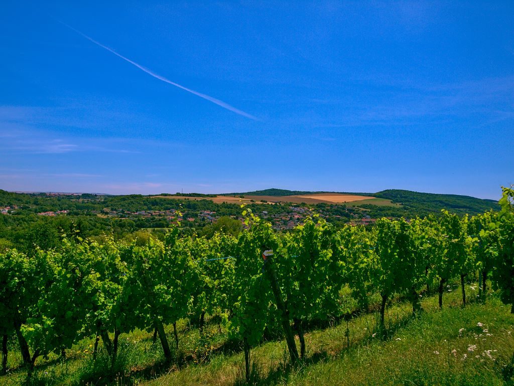
The hike
On the right bank of the Moselle valley, Jouy-aux-Arches and Corny-sur-Moselle occupy a privileged site. Jouy-aux-Arches is known for its impressive aqueduct built by the Gallo-Romans to carry drinking water from the Gorze springs to Metz over a distance of 22 km.
The liberation by the Americans in 1944 saw a tragic episode on the banks of the Moselle at Corny-sur-Moselle when the Germans retaliated. The historical route of Corny-sur-Moselle accurately relates the course of these battles, where nearly 1000 men were killed, wounded or missing in 60 hours of fierce fighting
The paths are marked out in a network, which makes it possible to compose the walk as you wish. Markings: yellow rectangle.
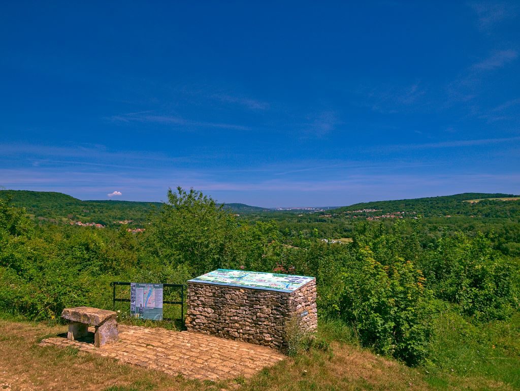
More hikes nearby
-
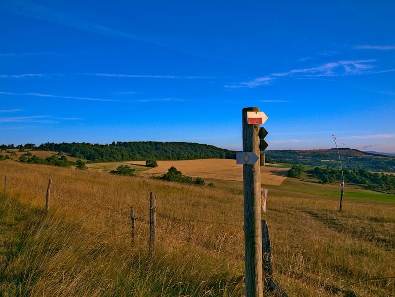 Les côtes de Moselle
Ancy-Dornot · Côtes de Moselle
55.5 km · 1,189 m D+ · Loop
-
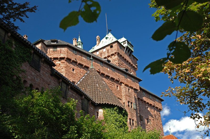 À l'assaut du Haut-Koenigsbourg
Kintzheim · Vosges
10.1 km · 382 m D+ · Loop
-
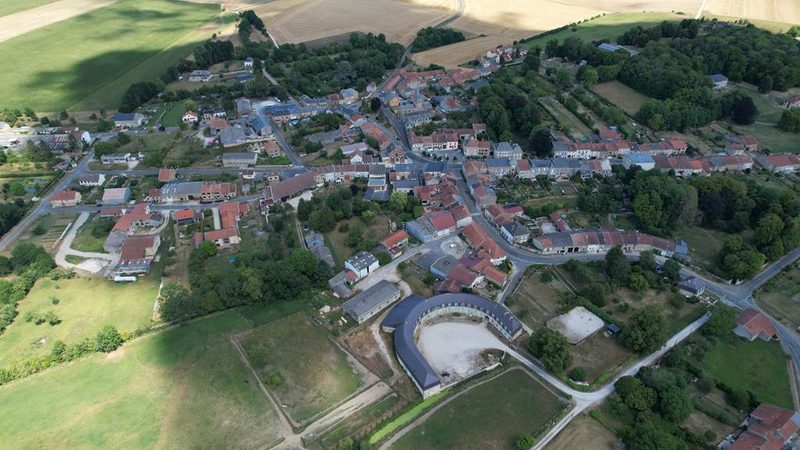 À la découverte de Buzancy
Buzancy · Ardennes
5.1 km · 24 m D+ · Loop
-
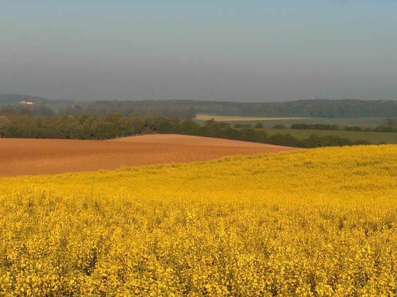 Boucle de la Chambre aux loups
Vouziers · Ardennes
9.3 km · 65 m D+ · Loop
-
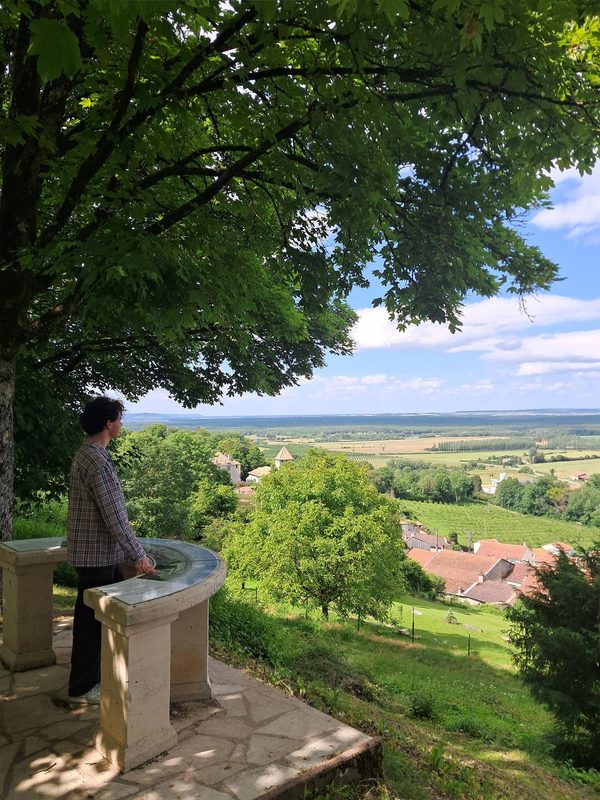 Boucle des Moulins
Boucq · Côtes de Toul
17.9 km · 146 m D+ · Loop
-
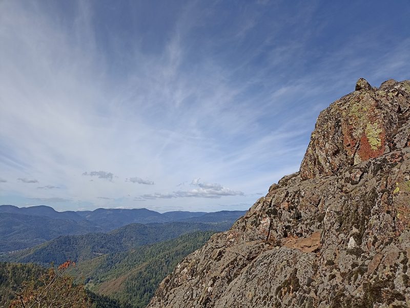 Camp Turenne et Tour du Wolfskopf
Cernay · Hautes-Vosges
17.1 km · 617 m D+ · Loop