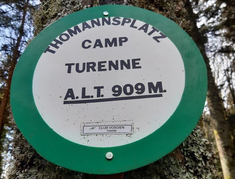
Camp Turenne et Tour du Wolfskopf
Loop of 17.1 km with 617 m of climbing, starting from Cernay.
- distance
- 17.1 km
- elevation gain
- 617 m
- high point
- 913 m
0
302 m – 913 m
17.1 km
< 4 %4–8 %8–12 %12–18 %18–25 %> 25 %
The hike
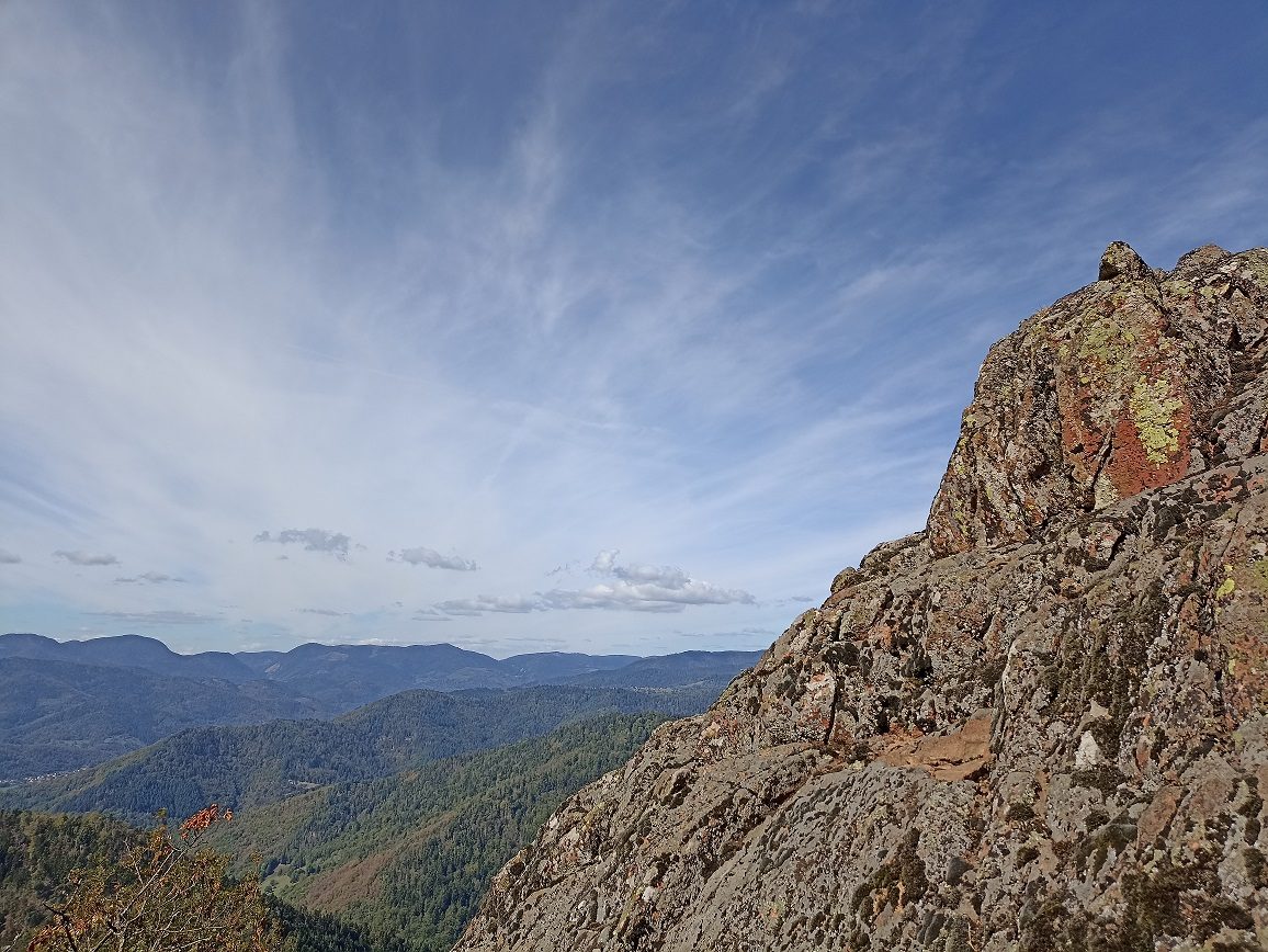
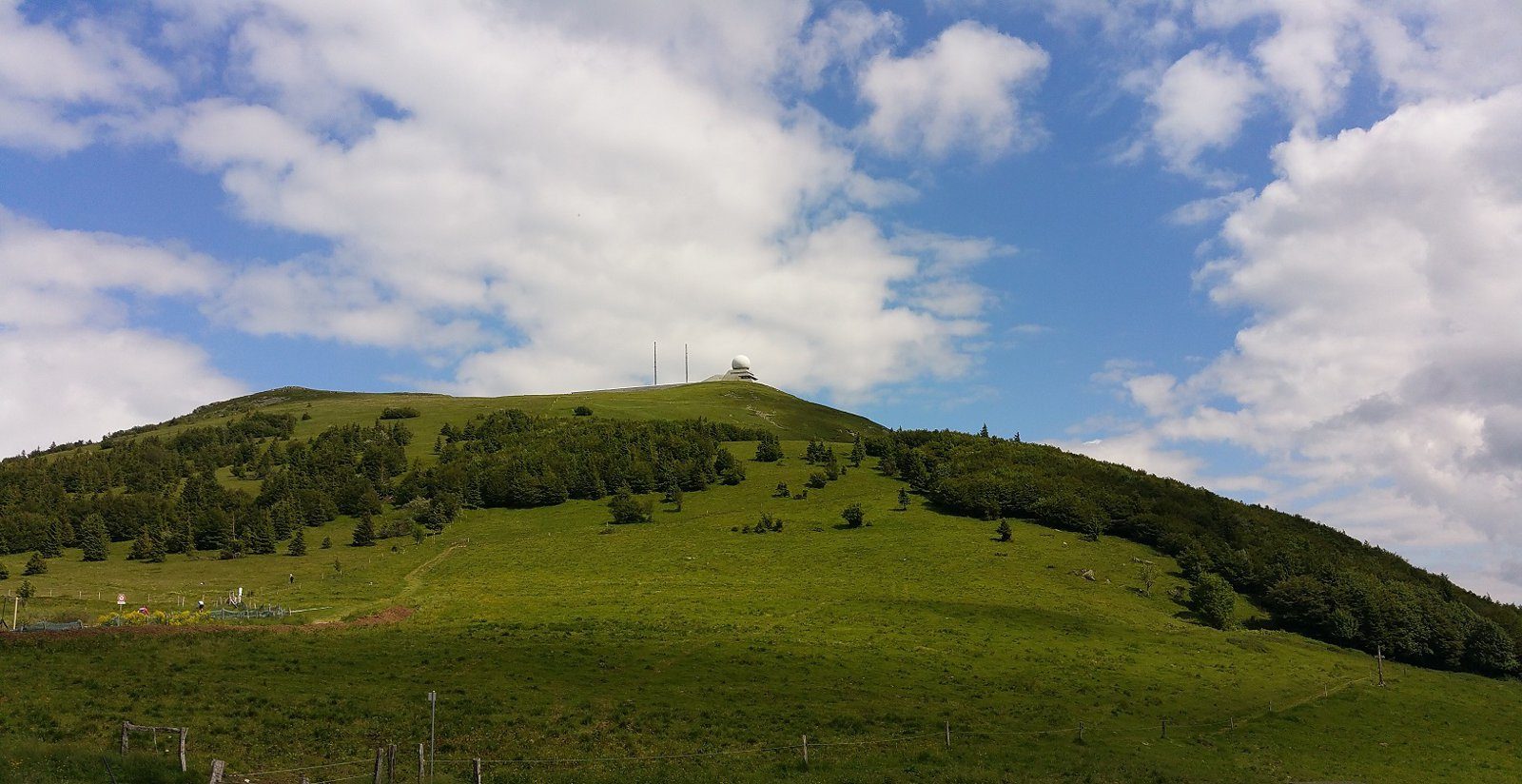
Departing from Cernay, a challenging hike to the Molkenrain, a summit of the Vosges massif at 1,125m, just below the Grand Ballon, the highest point at 1,424m.
As you pass through the villages at the foot of the Route des Crêtes, you'll come across some relics of the 1914-1918 war. The Vosges mountains are tough!
A sporty hike with 610m of ascent.
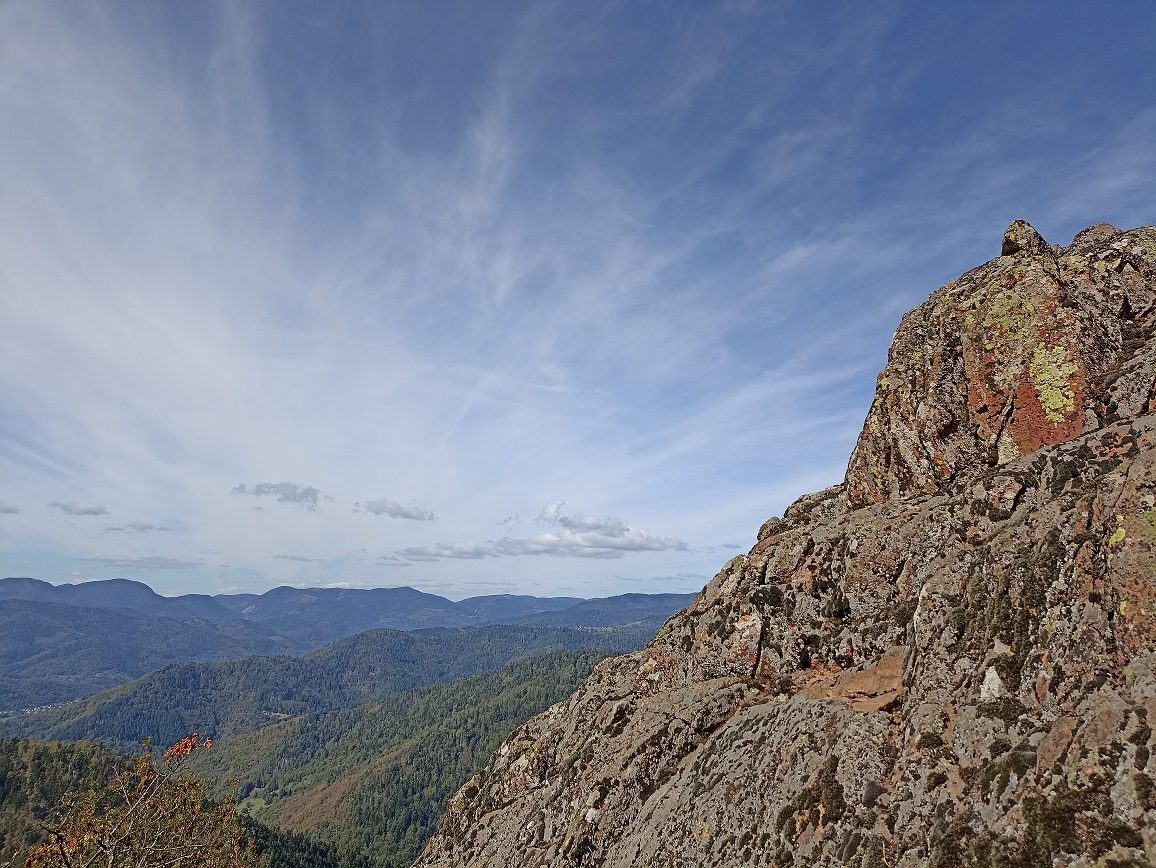
Its strong point: Alternatives offering views or historic sites are proposed throughout this hike.
More hikes nearby
-
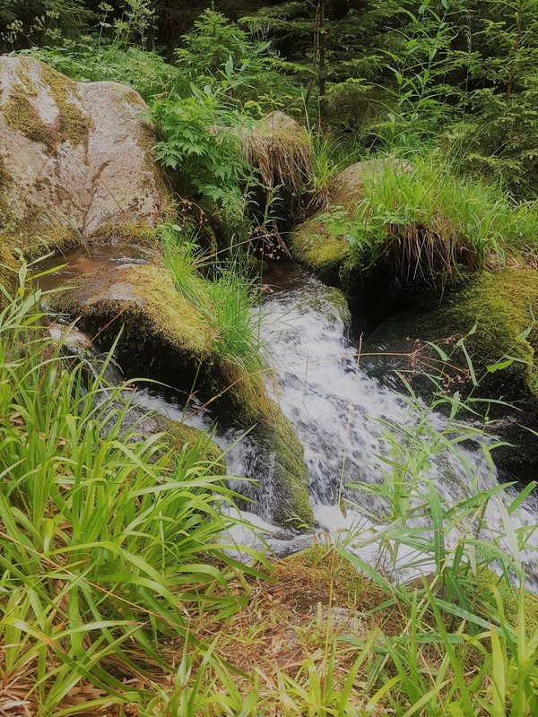 Cascade du Rudlin – Gazon du Faing
Plainfaing · Hautes-Vosges
12.5 km · 624 m D+ · Loop
-
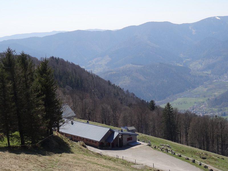 Envol vers le Treh et le Markstein
Fellering · Hautes-Vosges
18.1 km · 1,013 m D+ · Loop
-
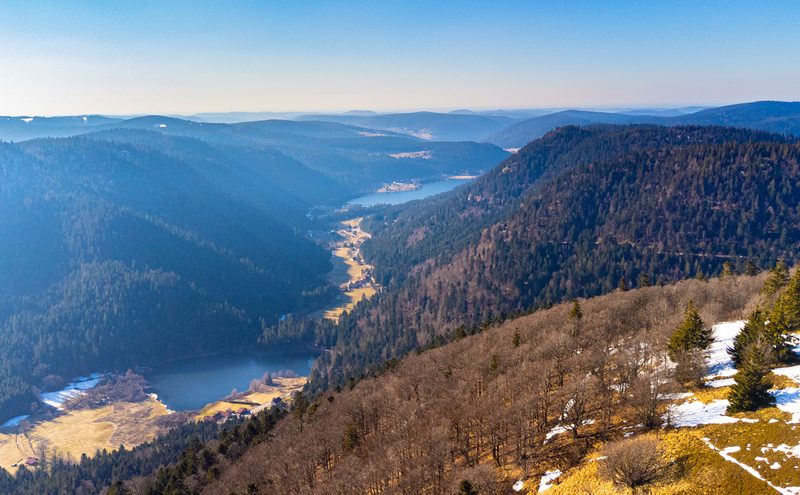 Hautes Chaumes et lacs
Gérardmer · Hautes-Vosges
40.9 km · 1,892 m D+ · Loop
-
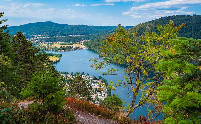 L'Entre 2 Lacs
Gérardmer · Hautes-Vosges
21.8 km · 974 m D+ · Loop
-
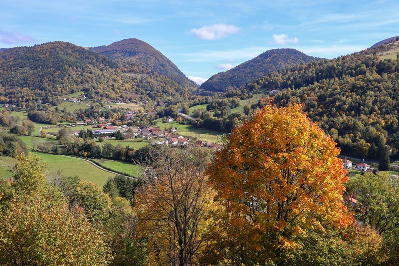 La p'tite trotte des Hautes Vosges
Fresse-sur-Moselle · Hautes-Vosges
22.2 km · 854 m D+ · Loop
-
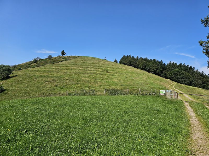 La Tête des Corbeaux
Le Ménil · Hautes-Vosges
24.2 km · 846 m D+ · Loop