L'Entre 2 Lacs
Loop of 21.8 km with 974 m of climbing, starting from Gérardmer.
- distance
- 21.8 km
- elevation gain
- 974 m
- high point
- 1,123 m
0
736 m – 1,123 m
21.8 km
< 4 %4–8 %8–12 %12–18 %18–25 %> 25 %
The hike
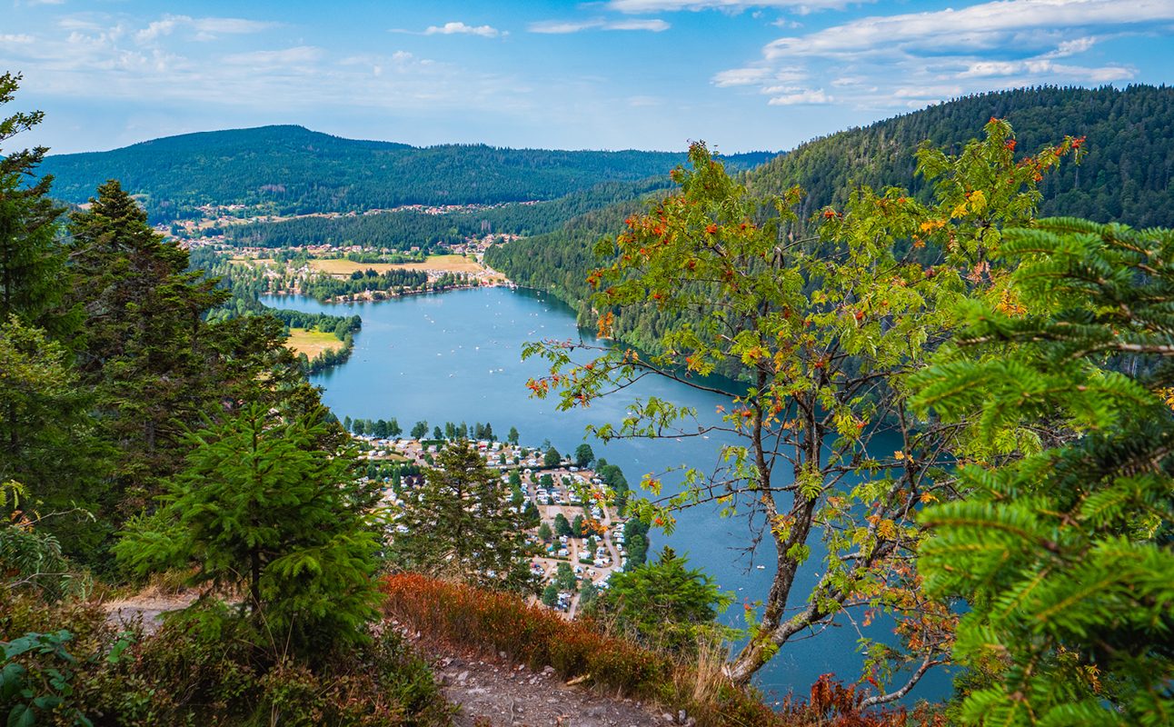
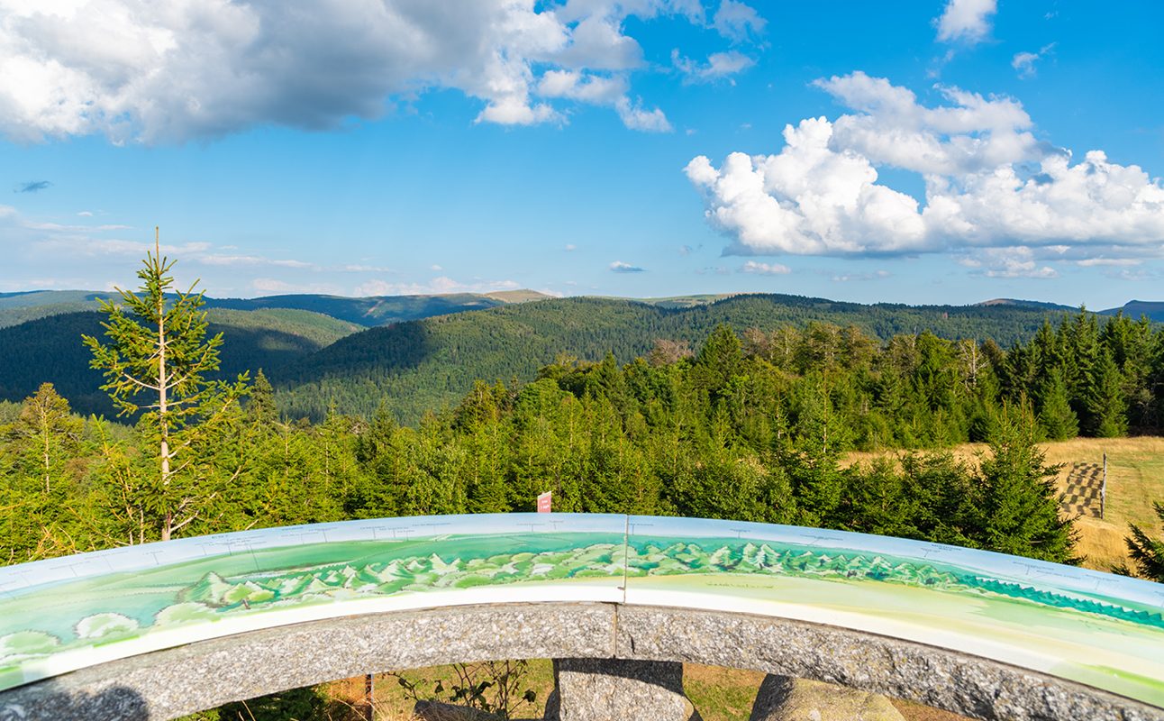
Progressive ascent through the slopes to the Tête de Grouvelin (highest point of Gérardmer) then descent to the lake of Lispach (Vallée du Chajoux - La Bresse). Then go up above the lake by the Collet de la Mine to reach the lake of Longemer and then make a beautiful ascent to the Roche Toussaint on the heights of Xonrupt. The last third is more rolling by the inn of Grouvelin, the cross-country ski tracks and then the Rayée.
Follow the blue N°6 markers (22km, 1159m D+). Estimated duration: 2 to 3 hours depending on your level of experience.
More hikes nearby
-
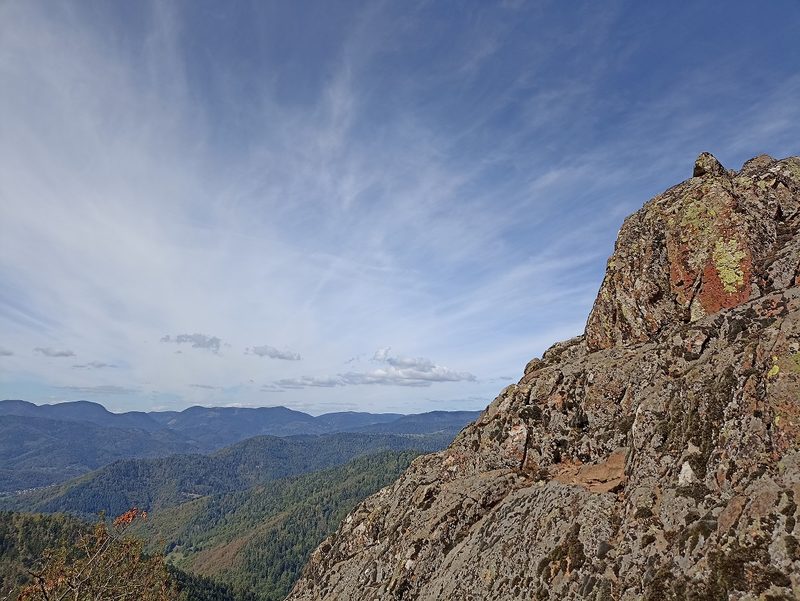 Camp Turenne et Tour du Wolfskopf
Cernay · Hautes-Vosges
17.1 km · 617 m D+ · Loop
-
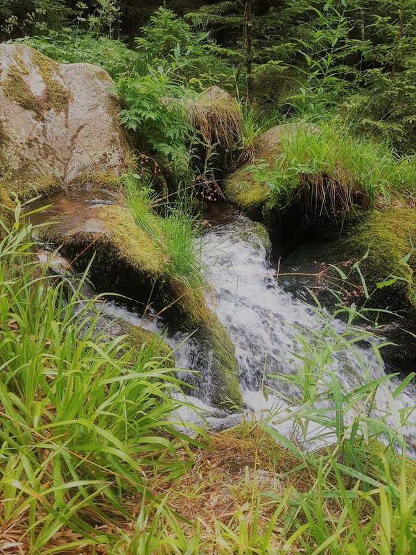 Cascade du Rudlin – Gazon du Faing
Plainfaing · Hautes-Vosges
12.5 km · 624 m D+ · Loop
-
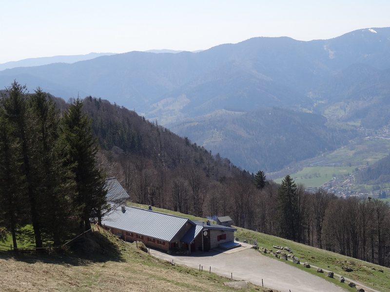 Envol vers le Treh et le Markstein
Fellering · Hautes-Vosges
18.1 km · 1,013 m D+ · Loop
-
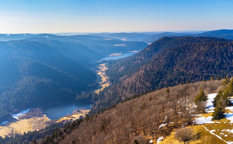 Hautes Chaumes et lacs
Gérardmer · Hautes-Vosges
40.9 km · 1,892 m D+ · Loop
-
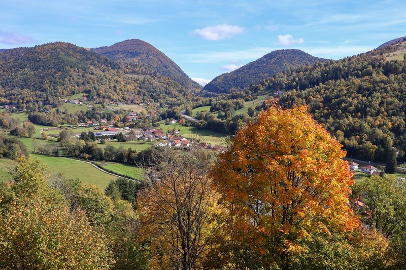 La p'tite trotte des Hautes Vosges
Fresse-sur-Moselle · Hautes-Vosges
22.2 km · 854 m D+ · Loop
-
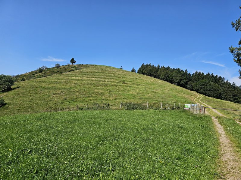 La Tête des Corbeaux
Le Ménil · Hautes-Vosges
24.2 km · 846 m D+ · Loop