La p'tite trotte des Hautes Vosges
Loop of 22.2 km with 854 m of climbing, starting from Fresse-sur-Moselle.
- distance
- 22.2 km
- elevation gain
- 854 m
- high point
- 967 m
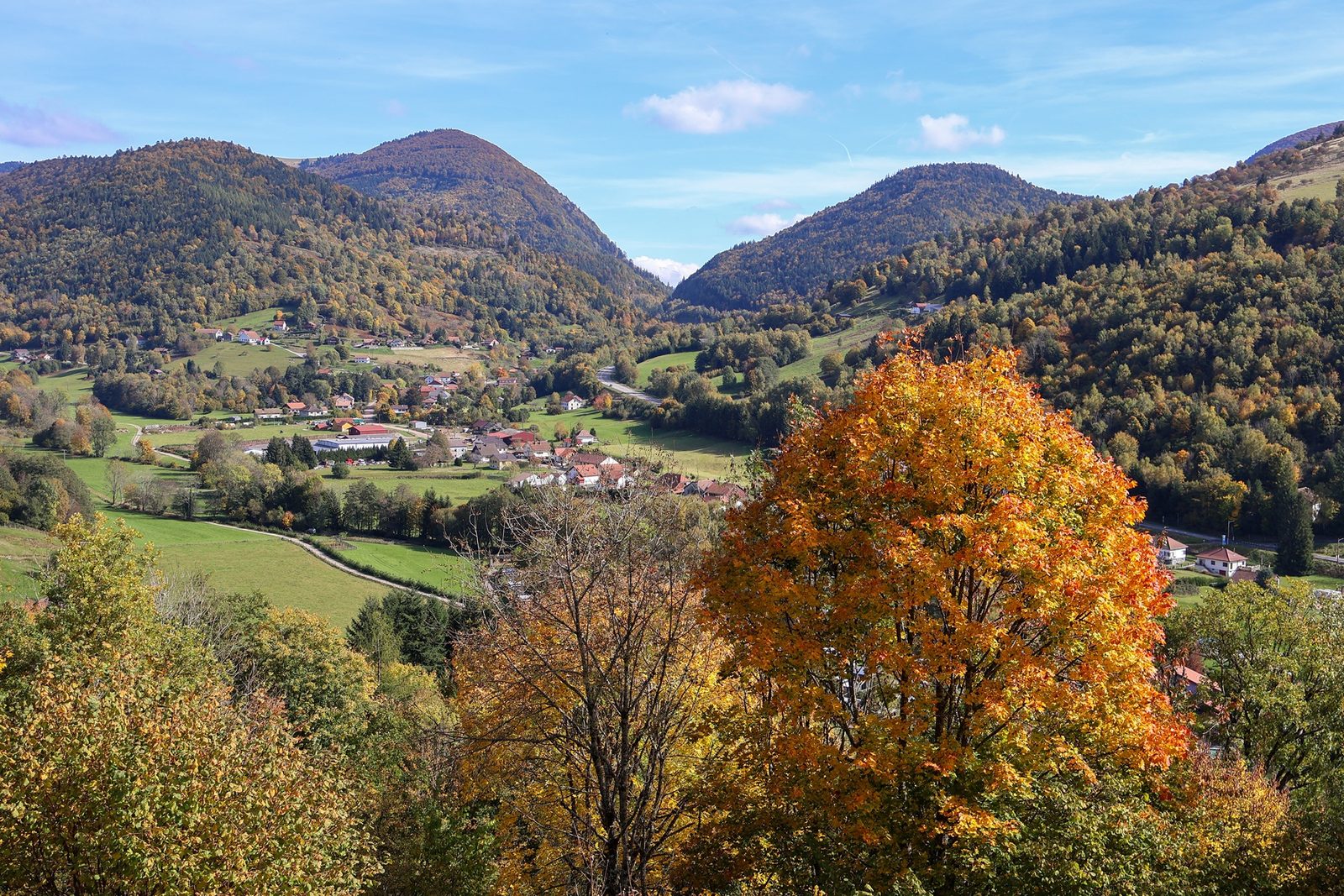
The hike
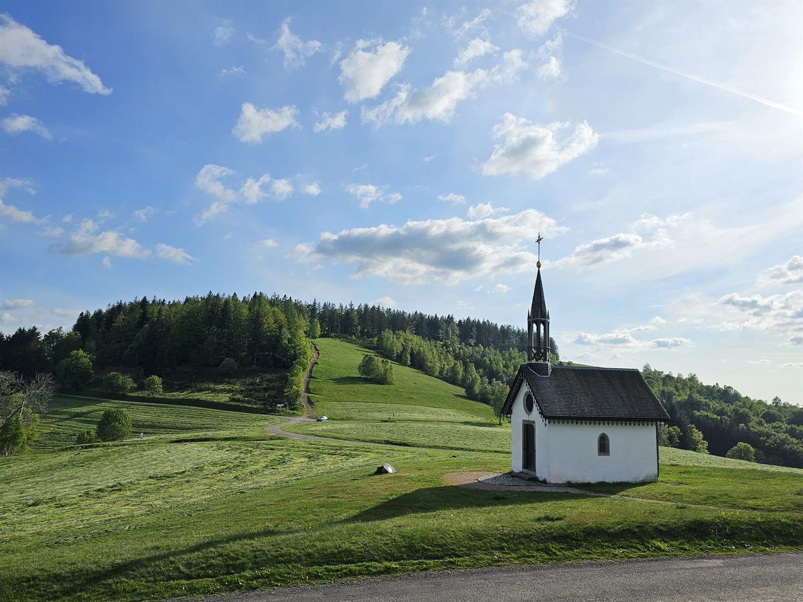
Difference in altitude: 900 m - Duration: 2 h 40 à 5 h 20 - Trail markings n°10 red + Club Vosgien - Difficult . Start: Church parking lot. This trail follows cross-country ski trails. It is closed during the winter season (running on cross-country trails is prohibited). Before setting off, check the snow report to see whether the cross-country ski area is open or not. Starting out from Fresse-sur-Moselle, set off on a beautiful hilly adventure between forests and panoramic views of the Ballons. After a fine ascent to the Pic des Corbeaux and its panoramic views, the route continues through the Draimont sector, past the Chapelle des Vés and the enigmatic Four des Fées to reach the Haut de la Lochère and its Col. A forest track then takes you between the Col de la Lochère and the Col de Rochelotte and its chalet. You'll skirt the Larcenaire ski area and take the balcony path before descending to Bussang. Climb up to the Borne des Trois Communes. Once past the Vallon refuge, a final descent via the Rochers du Sabbat and the Tête du Couteau brings the tour to a close, with a breathtaking view over the valley.
More hikes nearby
-
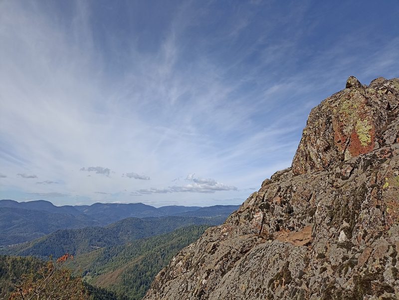 Camp Turenne et Tour du Wolfskopf
Cernay · Hautes-Vosges
17.1 km · 617 m D+ · Loop
-
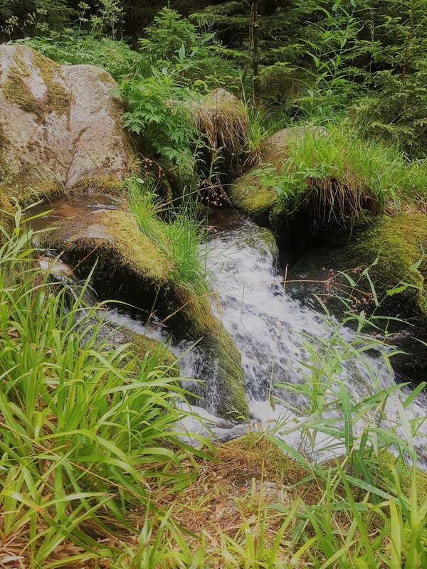 Cascade du Rudlin – Gazon du Faing
Plainfaing · Hautes-Vosges
12.5 km · 624 m D+ · Loop
-
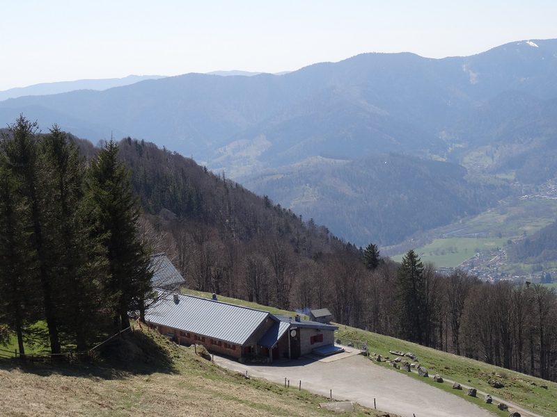 Envol vers le Treh et le Markstein
Fellering · Hautes-Vosges
18.1 km · 1,013 m D+ · Loop
-
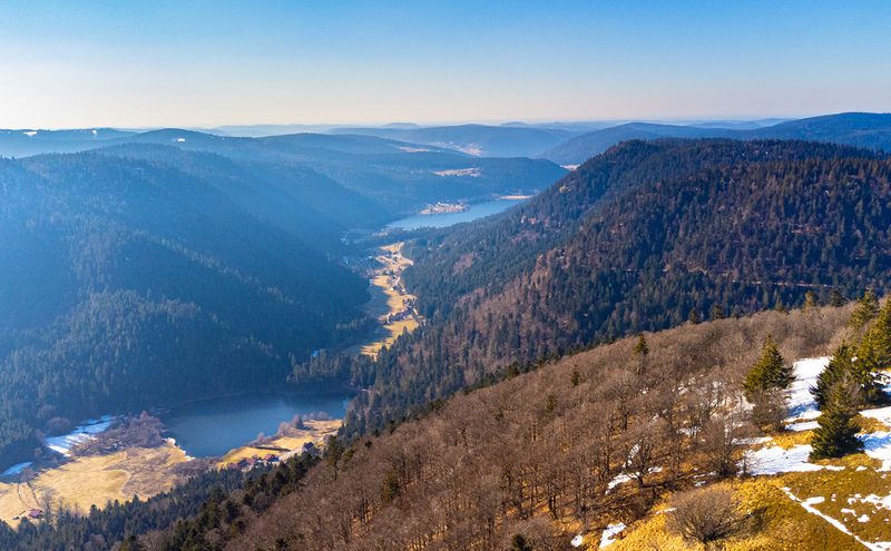 Hautes Chaumes et lacs
Gérardmer · Hautes-Vosges
40.9 km · 1,892 m D+ · Loop
-
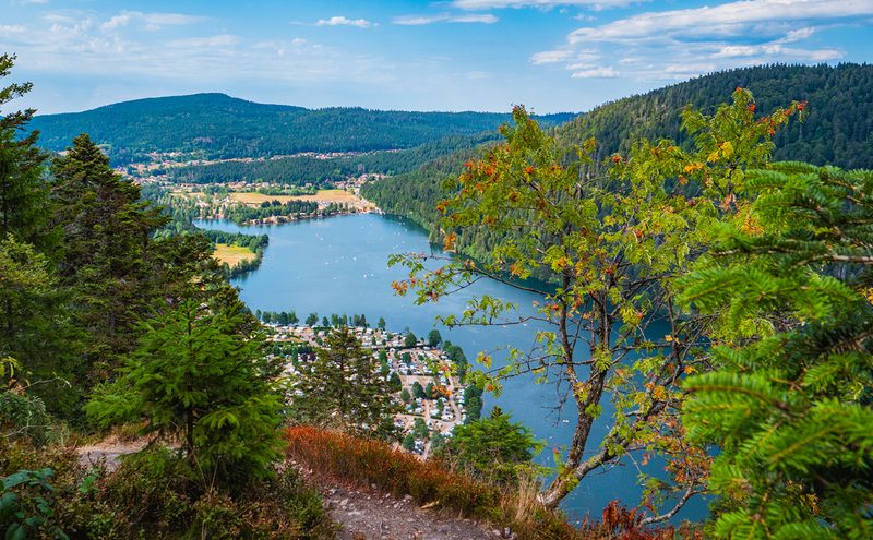 L'Entre 2 Lacs
Gérardmer · Hautes-Vosges
21.8 km · 974 m D+ · Loop
-
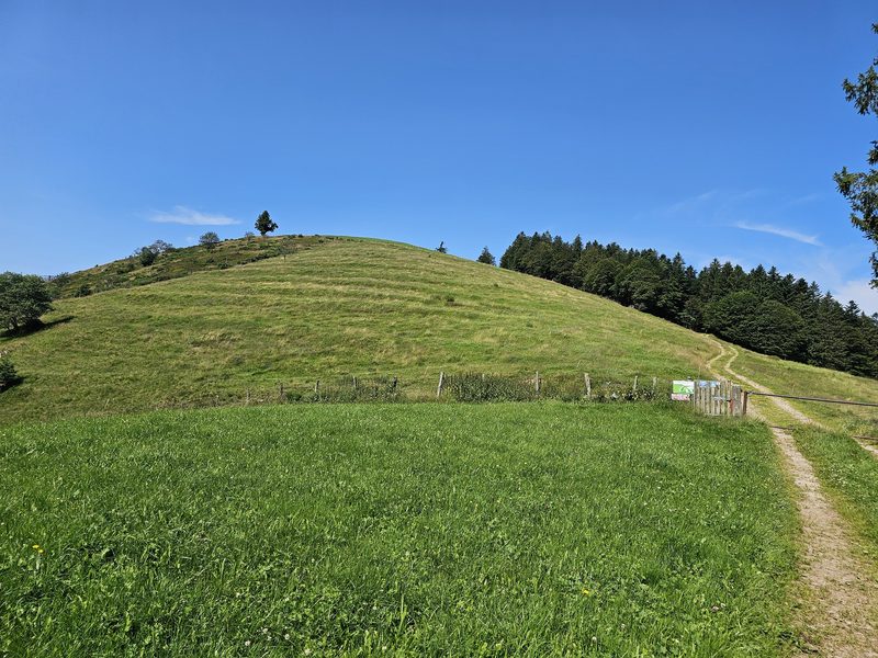 La Tête des Corbeaux
Le Ménil · Hautes-Vosges
24.2 km · 846 m D+ · Loop