Hautes Chaumes et lacs
Loop of 40.9 km with 1,892 m of climbing, starting from Gérardmer.
- distance
- 40.9 km
- elevation gain
- 1,892 m
- high point
- 1,362 m
0
735 m – 1,362 m
40.9 km
< 4 %4–8 %8–12 %12–18 %18–25 %> 25 %
The hike
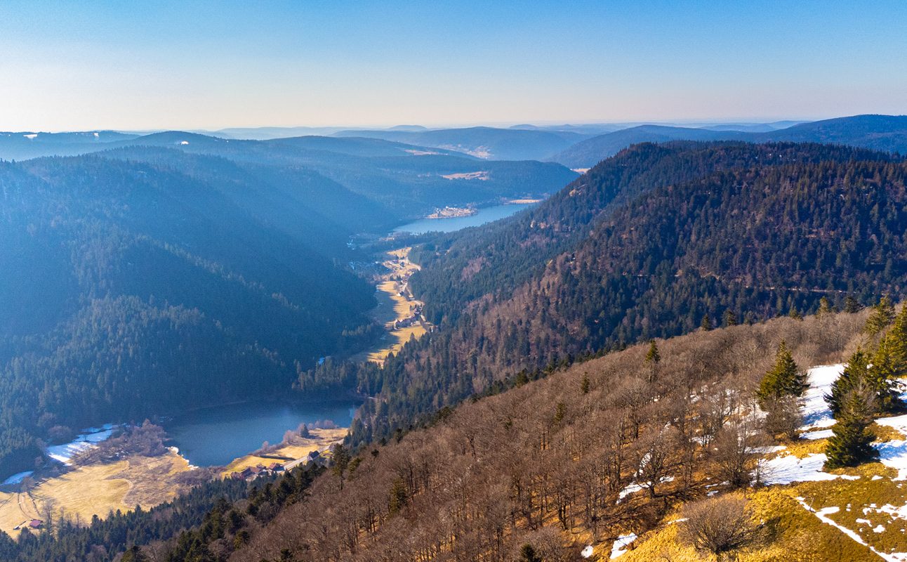
Departure from La Mauselaine, ascent to Grouvelin, descent to La Bresse at La Ténine, then climb to Les Champis before descending to the Vologne valley. Climb to the Rainkopf on the ridges and then the Neves trail to the Hohneck (highest point at 1363m, magnificent view). Then pass by Falimont, Le Collet, le Haut Gazon, Balveurche, lac de Longemer. Go back up to Poli and return to Gérardmer.
Follow the green N°8 markers (45,8km, 2003m D+). Estimated duration: 4h30 to 8h depending on the level of practice.
More hikes nearby
-
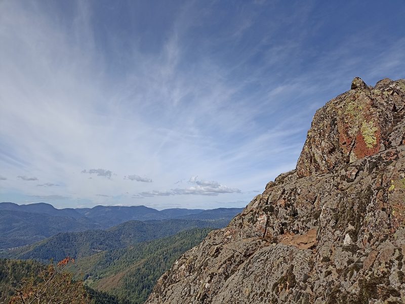 Camp Turenne et Tour du Wolfskopf
Cernay · Hautes-Vosges
17.1 km · 617 m D+ · Loop
-
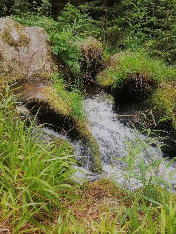 Cascade du Rudlin – Gazon du Faing
Plainfaing · Hautes-Vosges
12.5 km · 624 m D+ · Loop
-
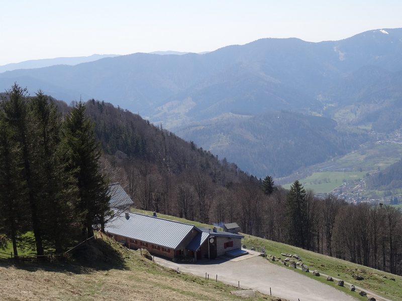 Envol vers le Treh et le Markstein
Fellering · Hautes-Vosges
18.1 km · 1,013 m D+ · Loop
-
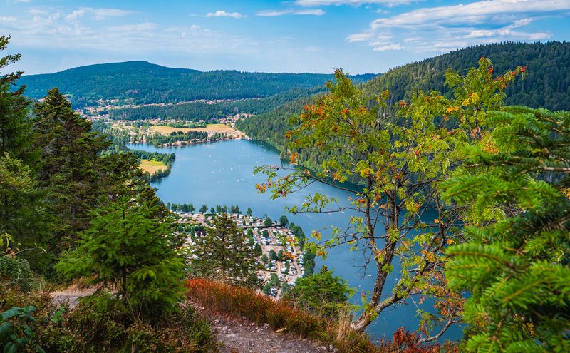 L'Entre 2 Lacs
Gérardmer · Hautes-Vosges
21.8 km · 974 m D+ · Loop
-
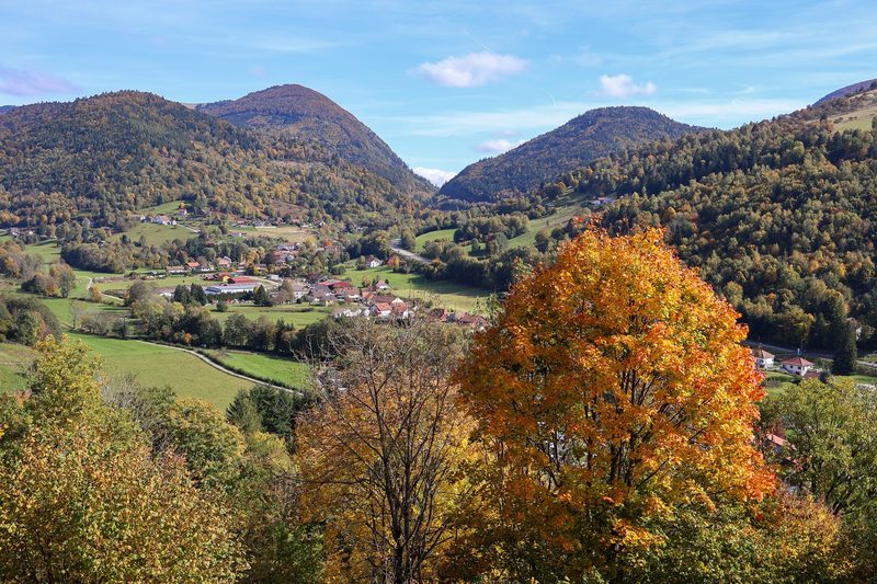 La p'tite trotte des Hautes Vosges
Fresse-sur-Moselle · Hautes-Vosges
22.2 km · 854 m D+ · Loop
-
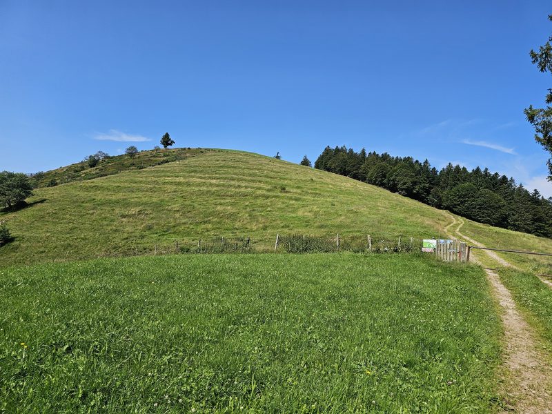 La Tête des Corbeaux
Le Ménil · Hautes-Vosges
24.2 km · 846 m D+ · Loop