Envol vers le Treh et le Markstein
Loop of 18.1 km with 1,013 m of climbing, starting from Fellering.
- distance
- 18.1 km
- elevation gain
- 1,013 m
- high point
- 1,140 m
0
438 m – 1,140 m
18.1 km
< 4 %4–8 %8–12 %12–18 %18–25 %> 25 %
The hike
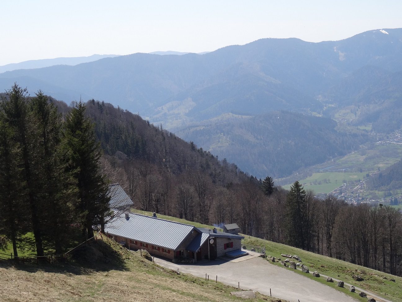
A very varied and demanding route, but with sublime views. A route to discover the Vosges and all the richness of the landscapes of the blue mountains. During the summer, the paragliders bring bright colors, in autumn is the feria of colors. From the valley to the summit, all levels of vegetation follow one another from green meadows to coniferous forests to high altitude stubble fields.
More hikes nearby
-
 Camp Turenne et Tour du Wolfskopf
Cernay · Hautes-Vosges
17.1 km · 617 m D+ · Loop
-
 Cascade du Rudlin – Gazon du Faing
Plainfaing · Hautes-Vosges
12.5 km · 624 m D+ · Loop
-
 Hautes Chaumes et lacs
Gérardmer · Hautes-Vosges
40.9 km · 1,892 m D+ · Loop
-
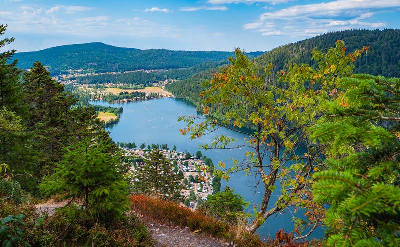 L'Entre 2 Lacs
Gérardmer · Hautes-Vosges
21.8 km · 974 m D+ · Loop
-
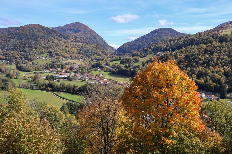 La p'tite trotte des Hautes Vosges
Fresse-sur-Moselle · Hautes-Vosges
22.2 km · 854 m D+ · Loop
-
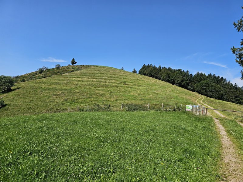 La Tête des Corbeaux
Le Ménil · Hautes-Vosges
24.2 km · 846 m D+ · Loop