Cascade du Rudlin – Gazon du Faing
Loop of 12.5 km with 624 m of climbing, starting from Plainfaing.
- distance
- 12.5 km
- elevation gain
- 624 m
- high point
- 1,305 m
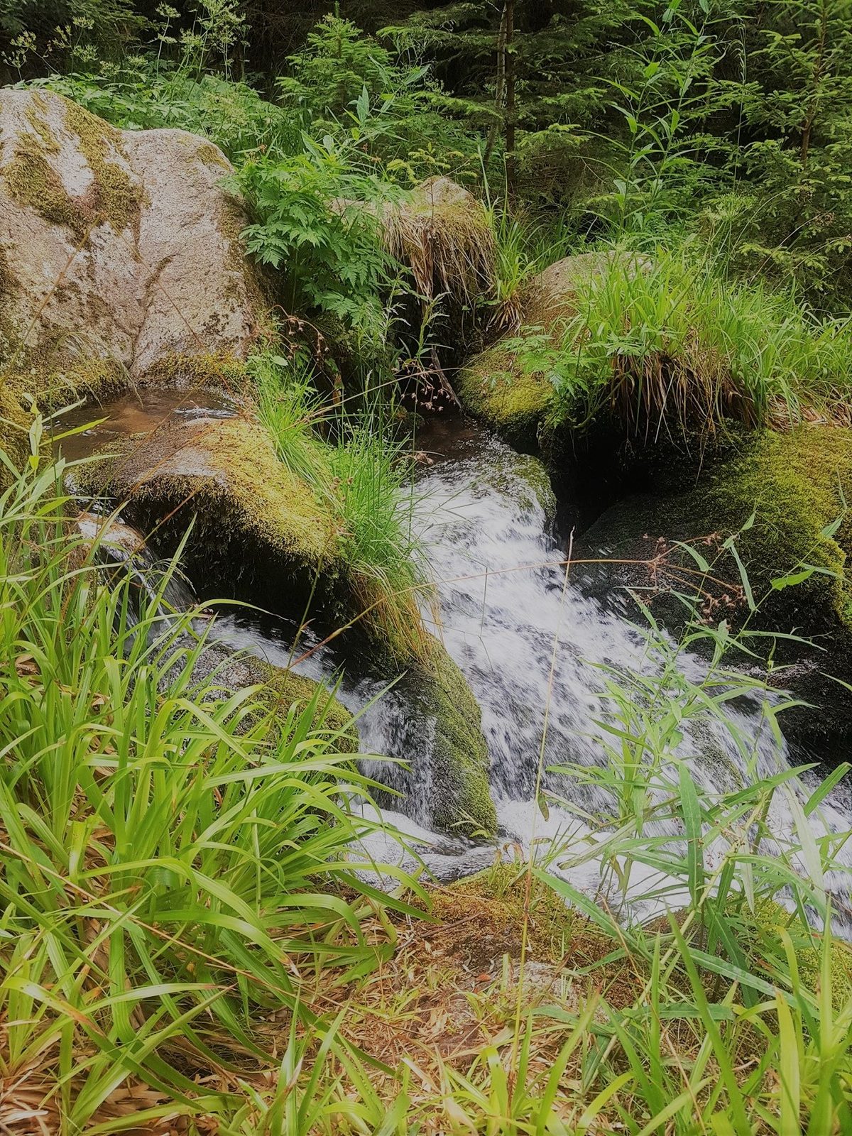
The hike
This beautiful hike is one of the most picturesque in the Haute-Meurthe region. You'll discover a variety of ever-changing landscapes, from valleys to high stubble fields, alternating between water, mineral and vegetation.
Leaving Plainfaing, head for Le Valtin (CD23) as far as Le Rudlin.
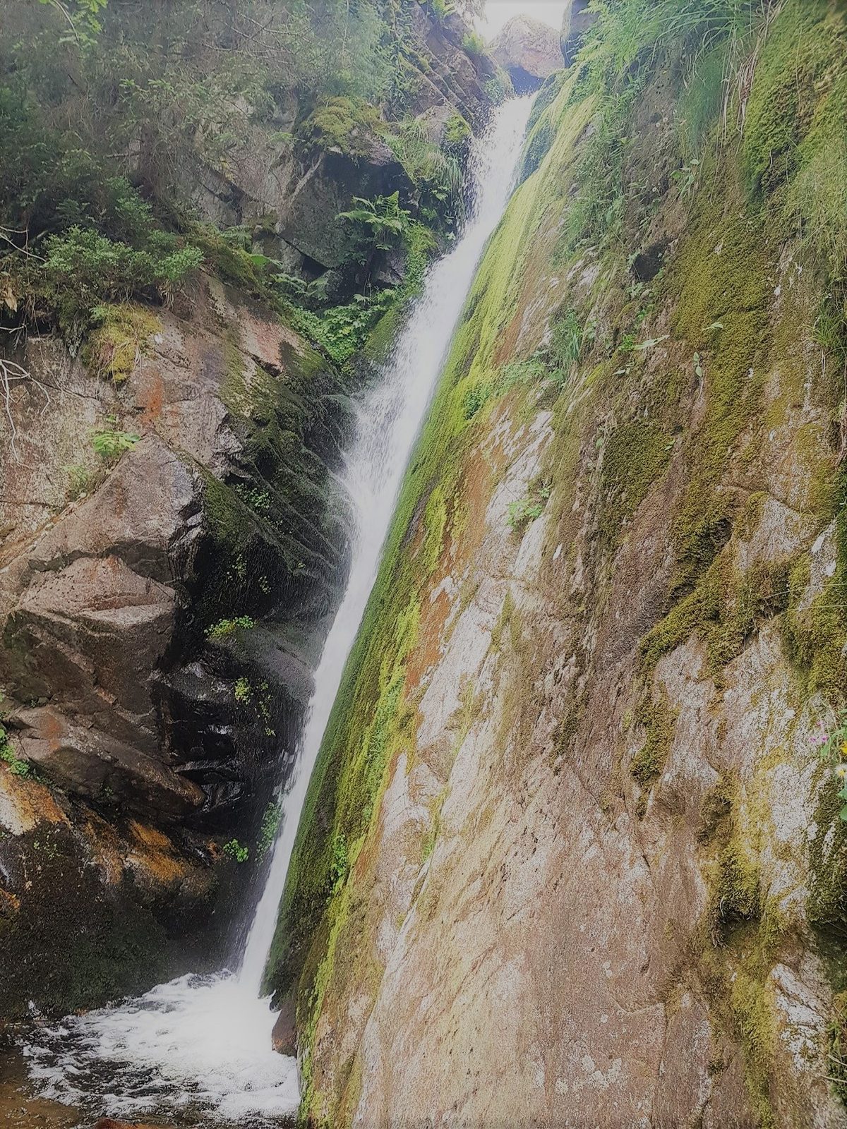
Turn left before the bridge, park near the pond and take the path on the right towards the old inn, then the little path before the inn that leads up to the waterfall. Follow the red path to the Route des Crêtes:
Cross the road to La Roche des Fées, then to the Auberge du Gazon du Faing for a bite to eat.
Then take the path on the left after the inn leading to the Hautes-Chaumes (viewpoint indicator at 1306 m, erected by the Plainfaing Syndicat d?Initiative), with a magnificent view of Lac des Truites, Le Hohneck and La Plaine d?Alsace. Continue along the Gazon du Faing Nature Reserve, with its superb view of Lac Blanc.
For the descent, follow the path on the left, cross the Route des Crêtes and go down the track almost opposite, turn left at the crow's feet, you will pass a small stream where you can quench your thirst. Cross the bridge and take the Ruhloch path (blue triangle) down to your starting point.
More hikes nearby
-
 Camp Turenne et Tour du Wolfskopf
Cernay · Hautes-Vosges
17.1 km · 617 m D+ · Loop
-
 Envol vers le Treh et le Markstein
Fellering · Hautes-Vosges
18.1 km · 1,013 m D+ · Loop
-
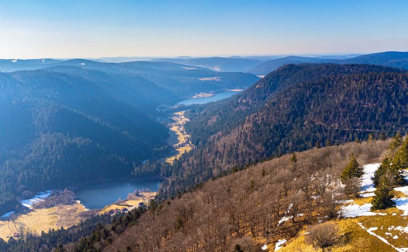 Hautes Chaumes et lacs
Gérardmer · Hautes-Vosges
40.9 km · 1,892 m D+ · Loop
-
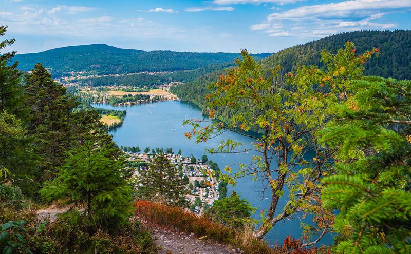 L'Entre 2 Lacs
Gérardmer · Hautes-Vosges
21.8 km · 974 m D+ · Loop
-
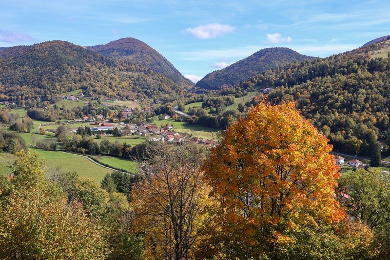 La p'tite trotte des Hautes Vosges
Fresse-sur-Moselle · Hautes-Vosges
22.2 km · 854 m D+ · Loop
-
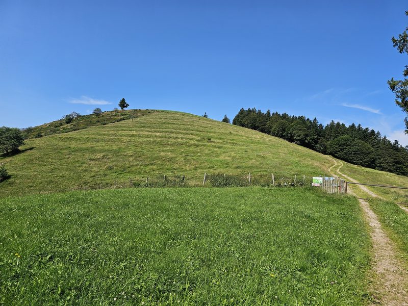 La Tête des Corbeaux
Le Ménil · Hautes-Vosges
24.2 km · 846 m D+ · Loop