La Tête des Corbeaux
Loop of 24.2 km with 846 m of climbing, starting from Le Ménil.
- distance
- 24.2 km
- elevation gain
- 846 m
- high point
- 994 m
The hike
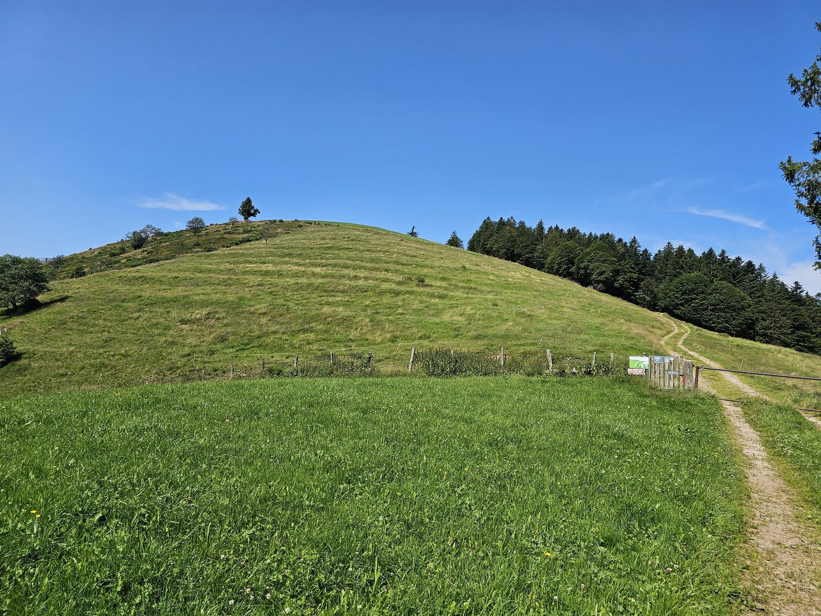
Difference in altitude: 920 m - Duration: 2 h 45 à 5 h 30 - Trail markings n°11 red + Club Vosgien - Difficulty level. Start: Tourist Office parking lot. Leaving from the village of Le Ménil, this trail takes you on a long, beautiful outing in the heart of the Vosges forests. The route follows cross-country ski trails. It is closed during the winter (no running on cross-country trails), so before setting off, check the snow report to see if the Nordic area is open or not. Warning: this trail crosses livestock-raising areas (Tête des Champs). Protection dogs may therefore be present. This trail may also be temporarily closed to meet the needs of livestock farmers. Adopt the right reflexes with guard dogs: stay calm, don't approach the herd and don't interact with the guard dog. Finally, avoid the area if possible. The first part of the route climbs steadily upwards, past the Chapelle de Pitié, the Beaudevé climbing site and the Chapelle de la Salette, to the first high point, the Tête des Champs. From this summit, you can enjoy the rolling countryside of the region. The second part of the route, more in the undergrowth, plunges you into the atmosphere of dense fir forests. Once you've passed the Abri du Bonhomme and the Kinsmuss, and crossed the Col de Rochelotte, you'll head back down to the Larcenaire ski resort. Take the balcony path to the Chalet and the Croix de Fresse, before making a last effort to reach the Col de la Lochère and the Hauts de la Lochère. You'll finish the circuit by skirting the Tête des Renards, before descending to the village on a pleasant single-track path.
More hikes nearby
-
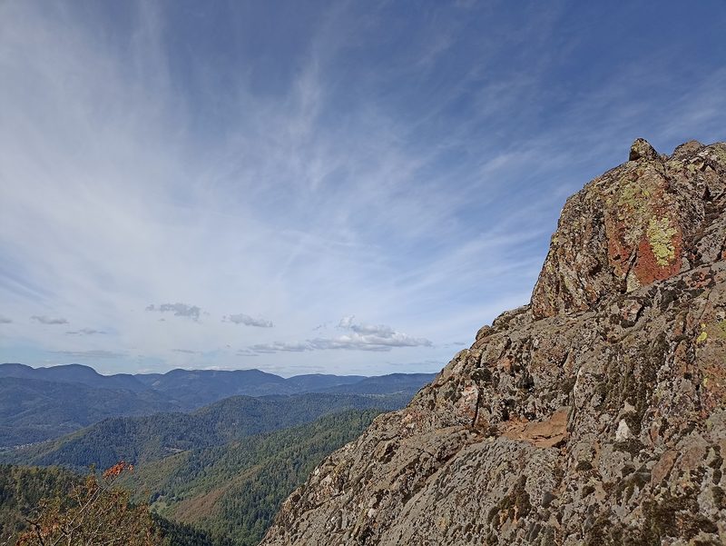 Camp Turenne et Tour du Wolfskopf
Cernay · Hautes-Vosges
17.1 km · 617 m D+ · Loop
-
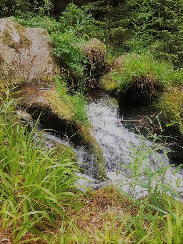 Cascade du Rudlin – Gazon du Faing
Plainfaing · Hautes-Vosges
12.5 km · 624 m D+ · Loop
-
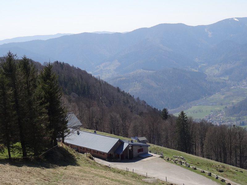 Envol vers le Treh et le Markstein
Fellering · Hautes-Vosges
18.1 km · 1,013 m D+ · Loop
-
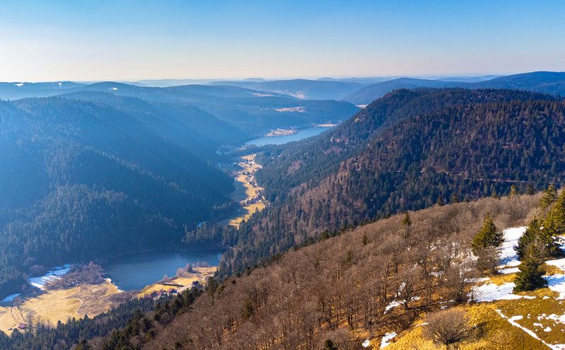 Hautes Chaumes et lacs
Gérardmer · Hautes-Vosges
40.9 km · 1,892 m D+ · Loop
-
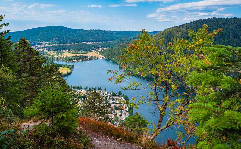 L'Entre 2 Lacs
Gérardmer · Hautes-Vosges
21.8 km · 974 m D+ · Loop
-
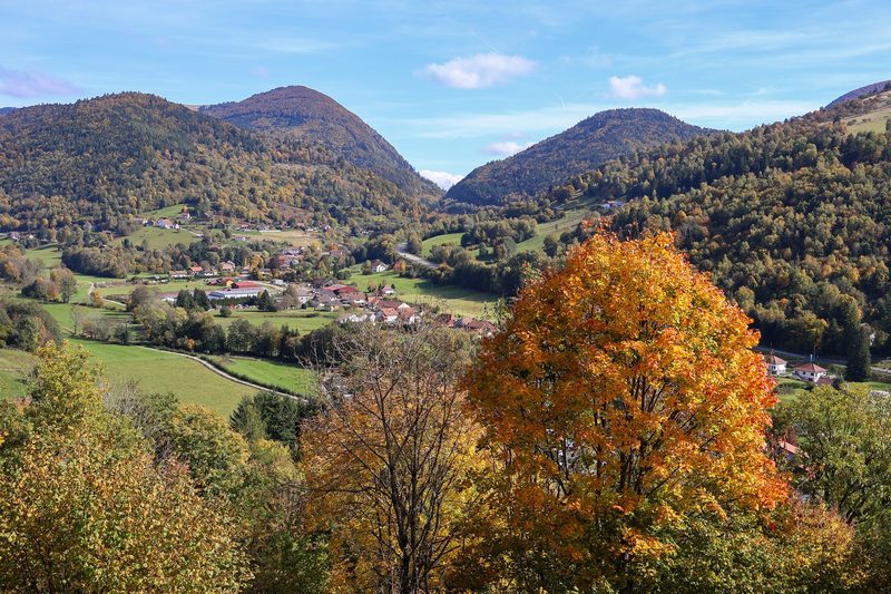 La p'tite trotte des Hautes Vosges
Fresse-sur-Moselle · Hautes-Vosges
22.2 km · 854 m D+ · Loop