Les côtes de Moselle
Loop of 55.5 km with 1,189 m of climbing, starting from Ancy-Dornot.
- distance
- 55.5 km
- elevation gain
- 1,189 m
- high point
- 356 m
0
172 m – 356 m
55.5 km
< 4 %4–8 %8–12 %12–18 %18–25 %> 25 %
The hike
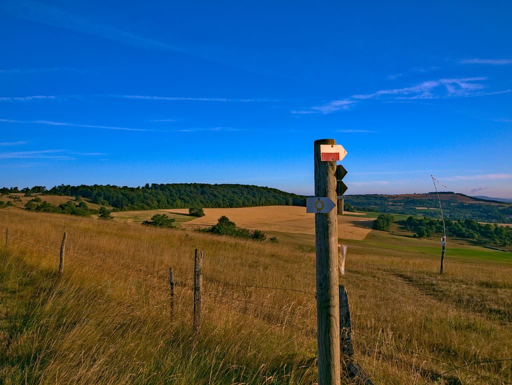
On the left bank of the Moselle, Ancy-sur-Moselle and Novéant-sur-Moselle are privileged hiking departures. The village of Dornot, perched on the heights, is characteristic of the winegrowers' villages on the coast, with its narrow, winding streets offering beautiful panoramas of the Moselle valley.
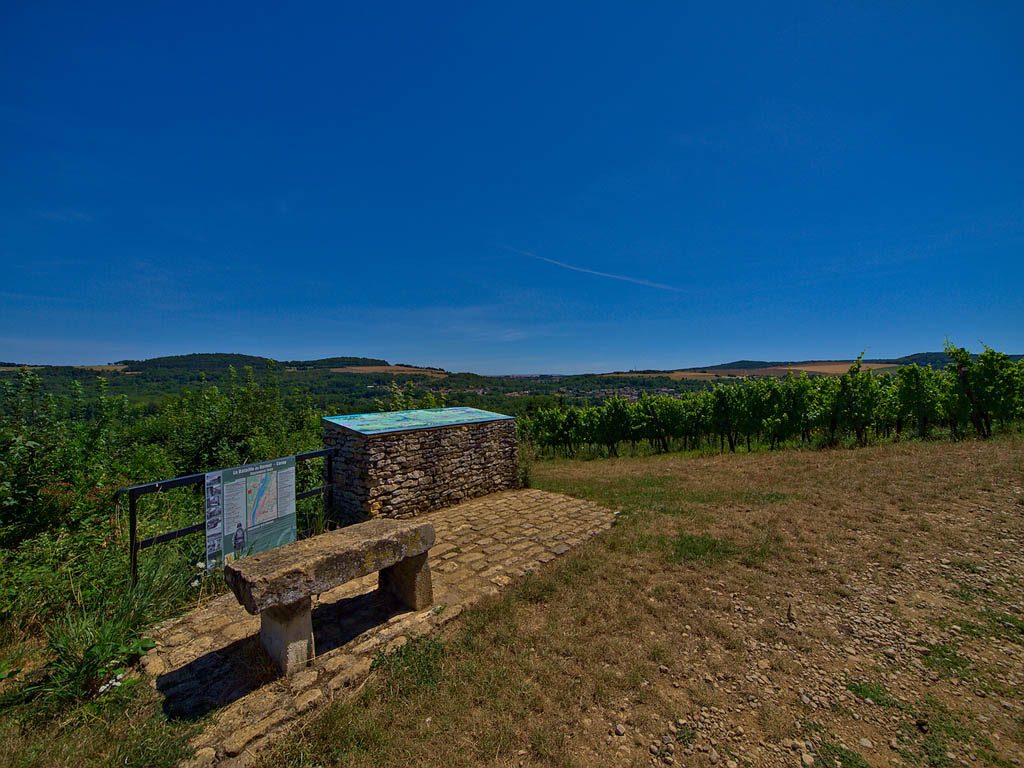
The rocks of the Fraze, the monument of the smugglers, the Croix Saint Clément, the historical route of the 1944 battle are all places that evoke the nature and centuries of history of the Moselle Valley.
The paths are marked out in a network, which allows you to compose your walk at your convenience. Markings: yellow rectangle.
More hikes nearby
-
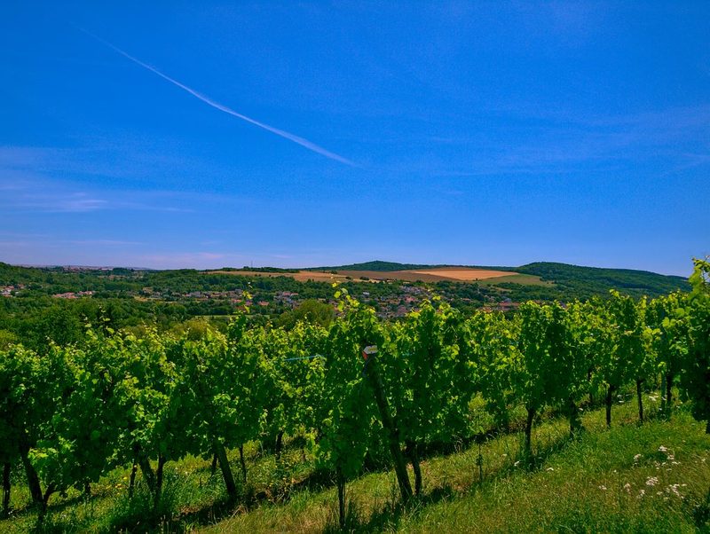 La vallée de la Moselle
Corny-sur-Moselle · Côtes de Moselle
19.0 km · 476 m D+ · Loop
-
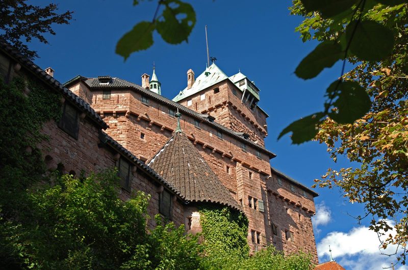 À l'assaut du Haut-Koenigsbourg
Kintzheim · Vosges
10.1 km · 382 m D+ · Loop
-
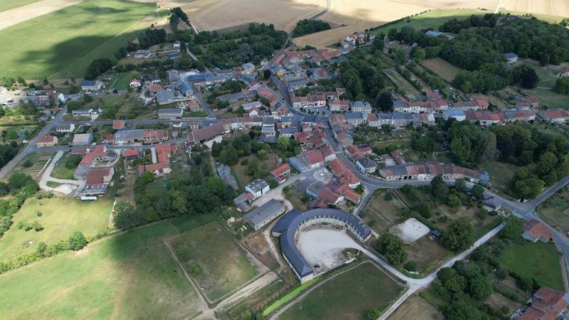 À la découverte de Buzancy
Buzancy · Ardennes
5.1 km · 24 m D+ · Loop
-
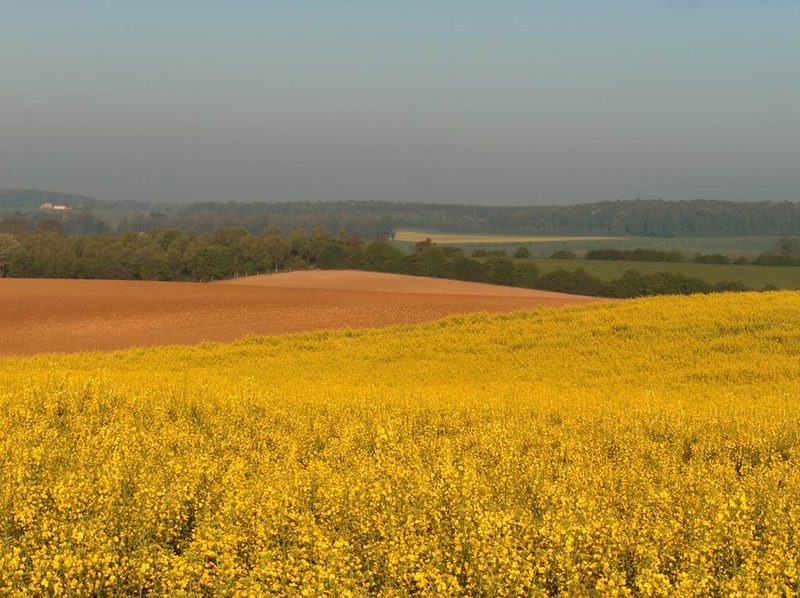 Boucle de la Chambre aux loups
Vouziers · Ardennes
9.3 km · 65 m D+ · Loop
-
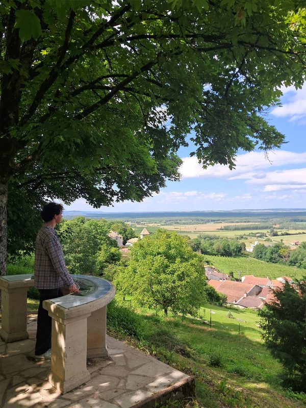 Boucle des Moulins
Boucq · Côtes de Toul
17.9 km · 146 m D+ · Loop
-
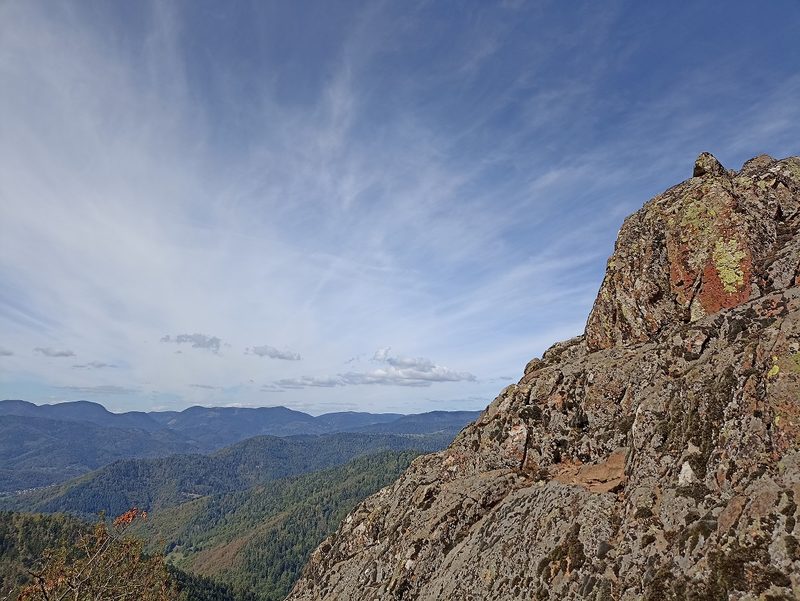 Camp Turenne et Tour du Wolfskopf
Cernay · Hautes-Vosges
17.1 km · 617 m D+ · Loop