Val de Cusance
Loop of 12.8 km with 377 m of climbing, starting from Cusance.
- distance
- 12.8 km
- elevation gain
- 377 m
- high point
- 493 m
0
304 m – 493 m
12.8 km
< 4 %4–8 %8–12 %12–18 %18–25 %> 25 %
The hike
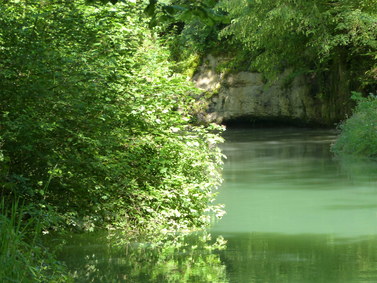
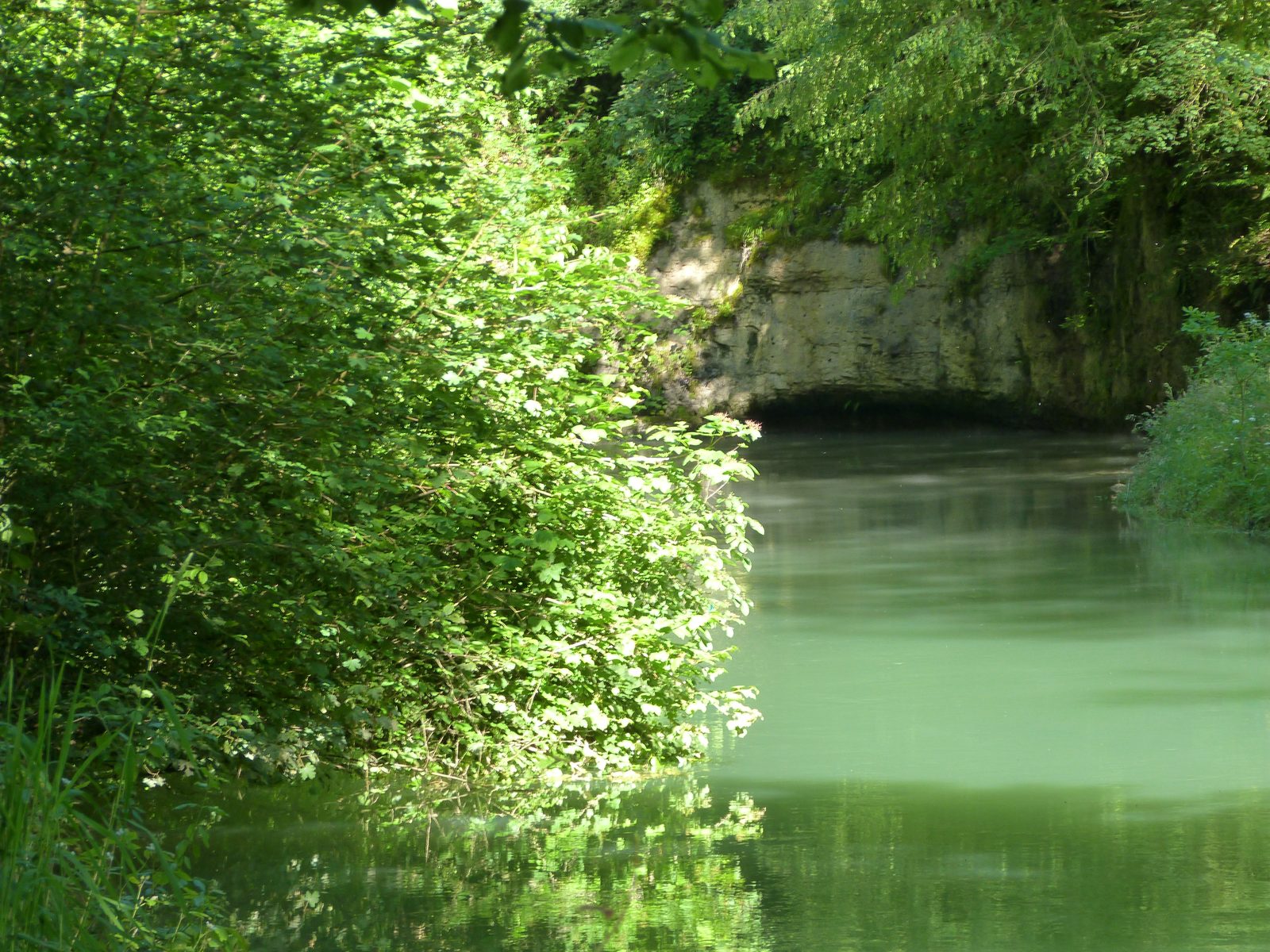
This is the best way to discover the landscapes of the Cusancin valley. Get a bird's eye view of the village of Val de Cusance from the belvedere on the outskirts of Montivernage. Don't forget to climb up to the chapel of Saint-Erminfroid, where you can ring the bell that will resound throughout the valley. The walk ends with a visit to the two springs of the Cusancin: the blue spring and the green spring.
More hikes nearby
-
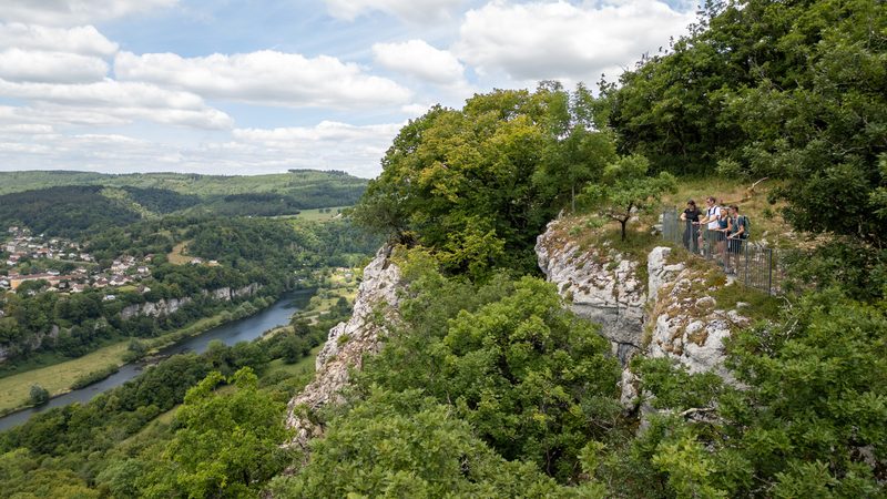 Fente de Babre
Baume-les-Dames · Vallée du Doubs
9.9 km · 243 m D+ · Loop
-
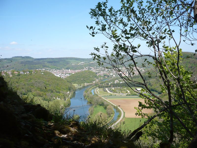 Mont Dommage
Baume-les-Dames · Vallée du Doubs
11.5 km · 426 m D+ · Loop
-
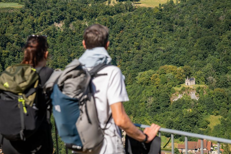 Val de Cusance (variante par la Croix de Saint-Erminfroid)
Cusance · Vallée du Doubs
10.7 km · 378 m D+ · Loop
-
 Autour de Brancion
Martailly-lès-Brancion · Mâconnais
11.1 km · 283 m D+ · Loop
-
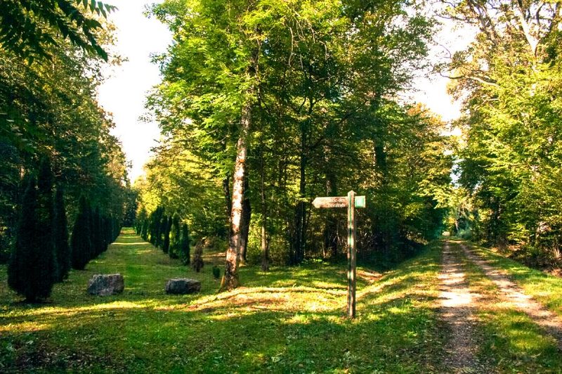 Bois des Fouchères
Recologne
14.6 km · 64 m D+ · Loop
-
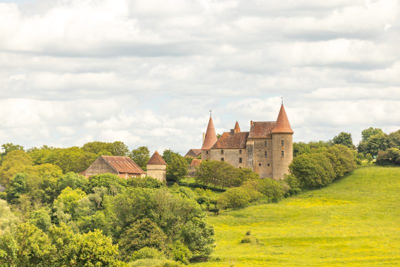 Boucle Gueugnon-Chassy
Gueugnon
11.4 km · 155 m D+ · Loop