Le Grand-Mas
Loop of 19.3 km with 804 m of climbing, starting from Mouret.
- distance
- 19.3 km
- elevation gain
- 804 m
- high point
- 582 m
The hike
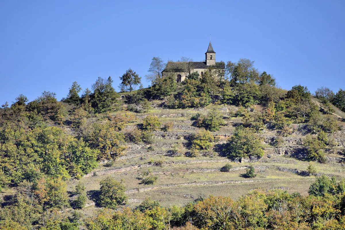
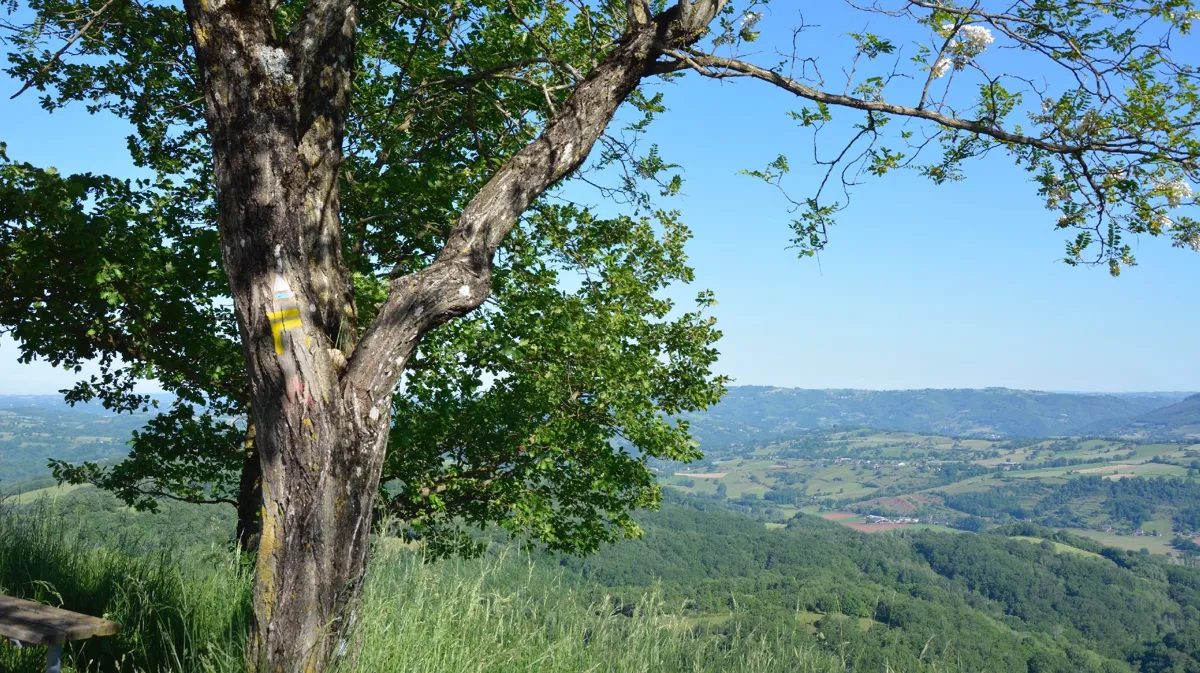
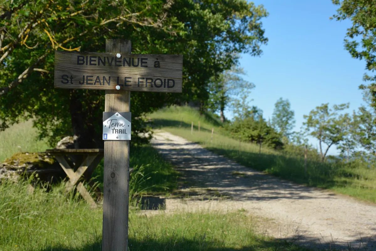
Departure on a slightly steep descent. Take the time to go down not too fast to warm up well, because once you cross the Cruou Valley, you attack a beautiful slope in the undergrowth. After 2 laces, at the level of the cross, take the trouble to turn your head, the view over the valley is worth it. Then once you reach the village of Solsac, you will go back down into the Valley by the GR62, a little road to find a nice stride, and you will take a long and difficult slope on a track, in the middle of the vineyards. When you reach the summit, you will go down through a small hamlet and continue to the river. A wet zone, in undergrowth, will refresh your feet, during several crossings of small fords, before attacking a hill in the woods and on the reds. A rather irregular coast, allowing you to catch your breath several times, to reach the highest point, Saint-Jean-le-Froid. Go around the chapel and enjoy the view over the whole valley and the rougiers. After this difference in altitude, following a short descent, you will be able to find a nice stride on tracks and footpaths, before going back up slightly to find your starting point at the Grand Mas
Departure: Parking of the Grand Mas church
More hikes nearby
-
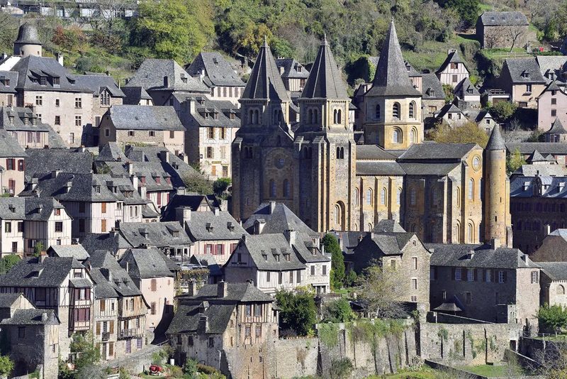 Conques – Le chemin de Dadon
Conques-en-Rouergue · Vallée du Lot
19.9 km · 970 m D+ · Loop
-
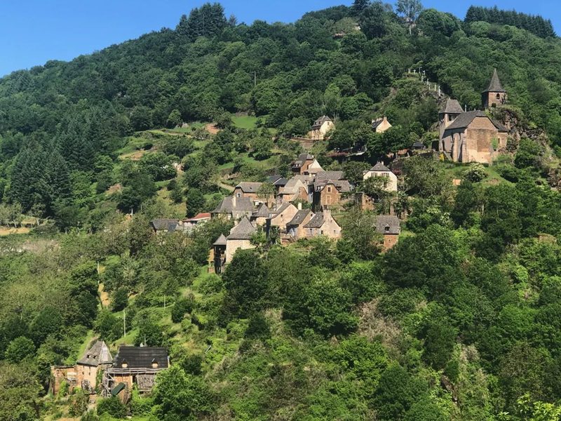 Grand-Vabre
Conques-en-Rouergue · Vallée du Lot
21.1 km · 912 m D+ · Loop
-
 Trail d'Aqui – Campuac
Campuac · Vallée du Lot
18.7 km · 732 m D+ · Loop
-
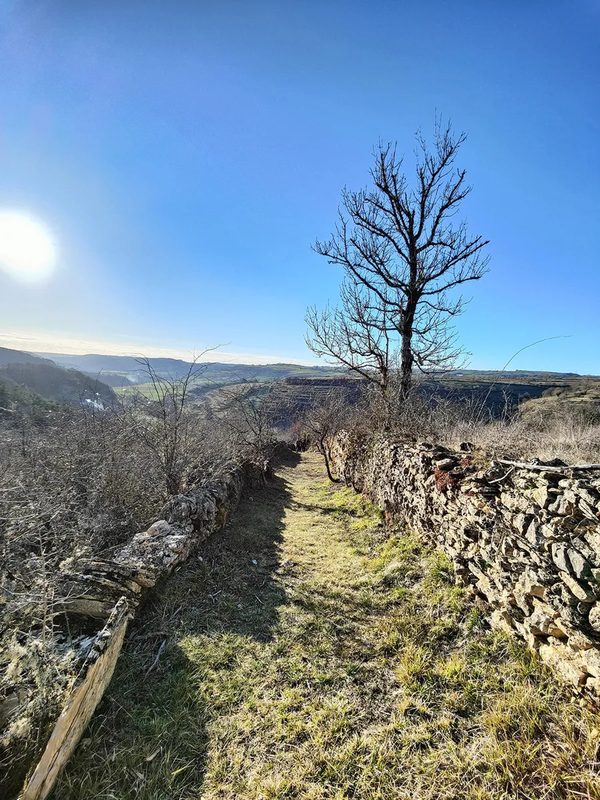 Trail d'Aqui – Coubisou
Coubisou · Vallée du Lot
22.5 km · 894 m D+ · Loop
-
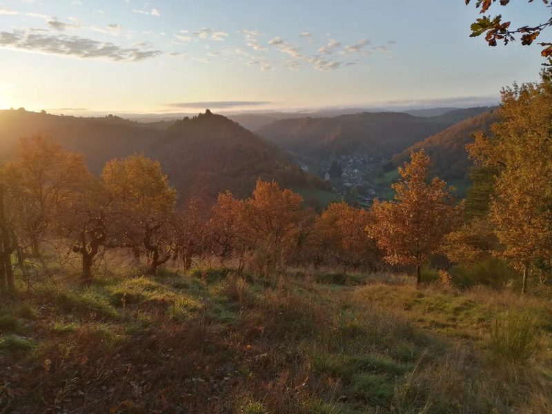 Trail d'Aqui – Estaing
Estaing · Vallée du Lot
14.8 km · 579 m D+ · Loop
-
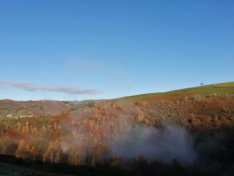 Trail d'Aqui – Le Fel
Le Fel · Vallée du Lot
16.4 km · 566 m D+ · Loop