Trail d'Aqui – Campuac
Loop of 18.7 km with 732 m of climbing, starting from Campuac.
- distance
- 18.7 km
- elevation gain
- 732 m
- high point
- 658 m
The hike
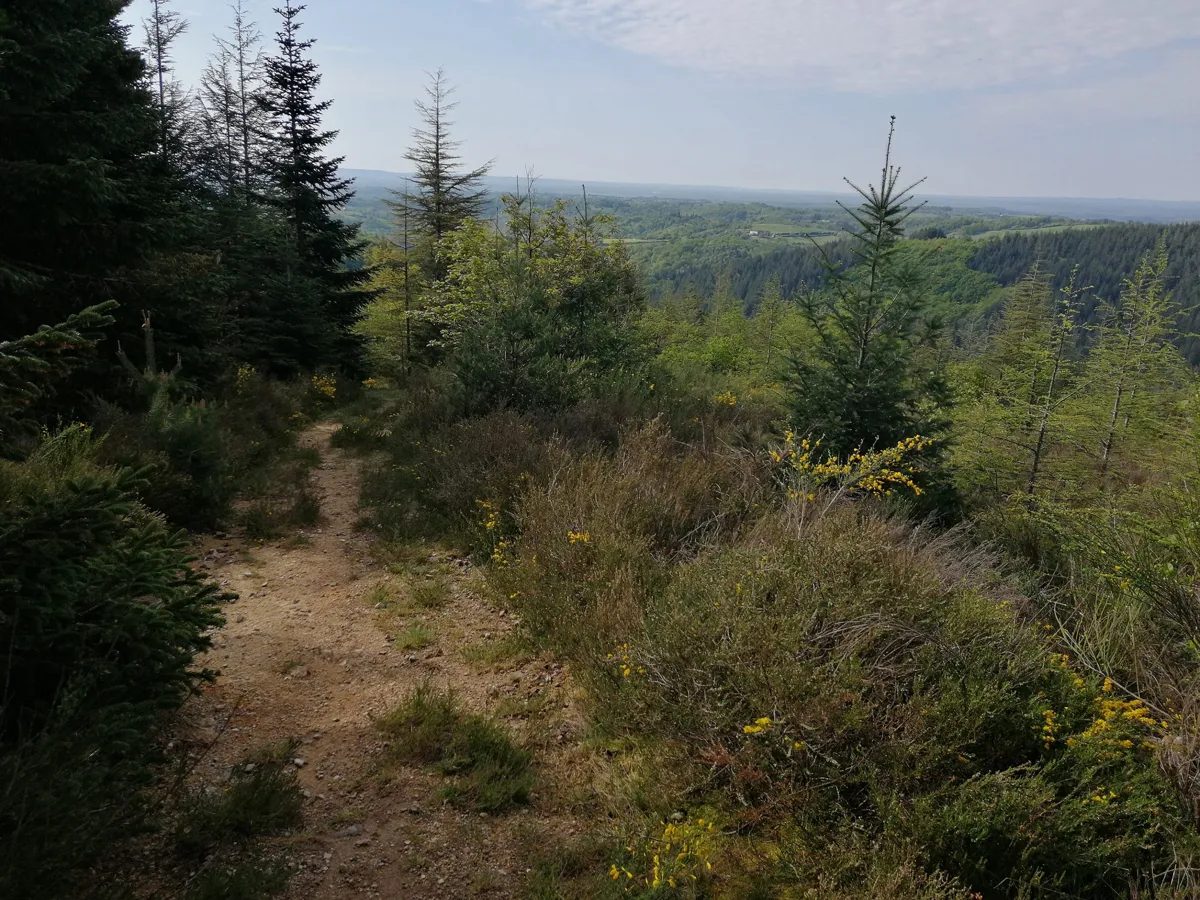
With almost 2/3 of the course on single-track, get ready to have a blast, in every sense of the word!
The first 3 km get you in the mood, with a sublime forest in easy enjoyment mode: shade guaranteed! Exit not far from the Etang de Campuac and cross the main road to La Bessière.
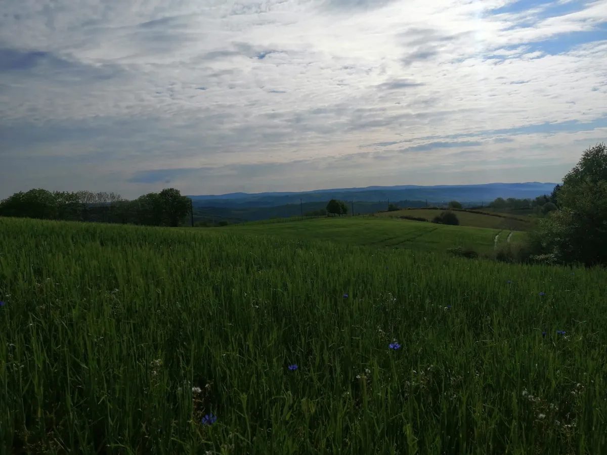
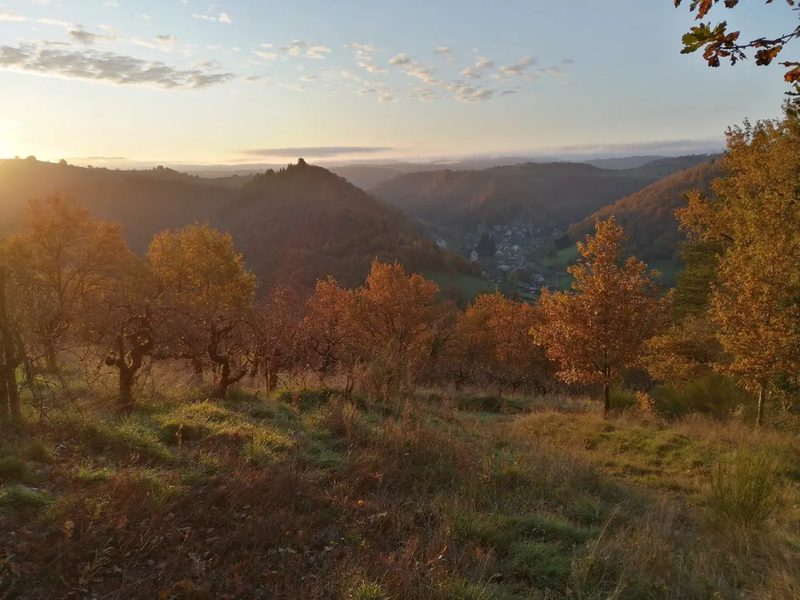
And off you go for a few playful twists and turns through this wild forest. You climb gently but surely to catch up with a monotrace opened by the Equi Libre association, which takes you to one of Aqui?s most beautiful trail panoramas: it?s a gift!
A beautiful, technical descent takes you to the ruisseaux area.
Up to km 9, it's hilly but not very hard.
From km 9 to km 11, you climb back up to St Genies des Ers on a large carriageway that gives you a breather. You change course to reach Romanettes at around km 12: breathe, breathe, it's going to get tough!
For the next 2 km, you're on the GR: full of history, of course, and very playful. Comes, km 14: plunge down to the streams. 1.7km of ascent and 200 D+ jumping over streams: it's fun, it's beautiful, but it wears you out!
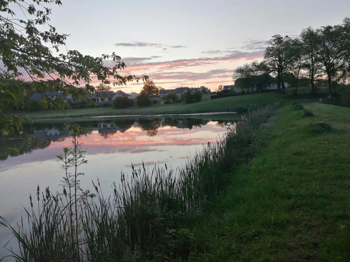
Once you've reached the summit, you can finally enjoy the last 1.5km, which takes you via the pond to the heart of the village, the finish of your route.
More hikes nearby
-
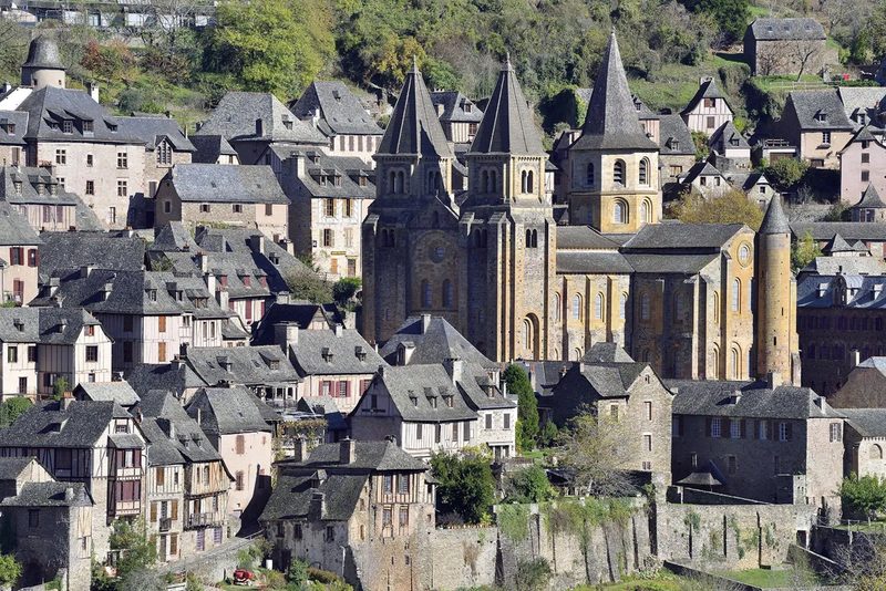 Conques – Le chemin de Dadon
Conques-en-Rouergue · Vallée du Lot
19.9 km · 970 m D+ · Loop
-
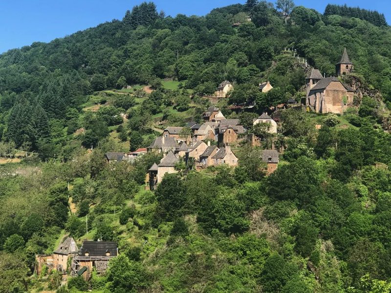 Grand-Vabre
Conques-en-Rouergue · Vallée du Lot
21.1 km · 912 m D+ · Loop
-
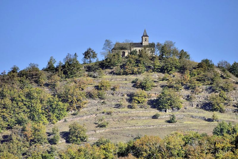 Le Grand-Mas
Mouret · Vallée du Lot
19.3 km · 804 m D+ · Loop
-
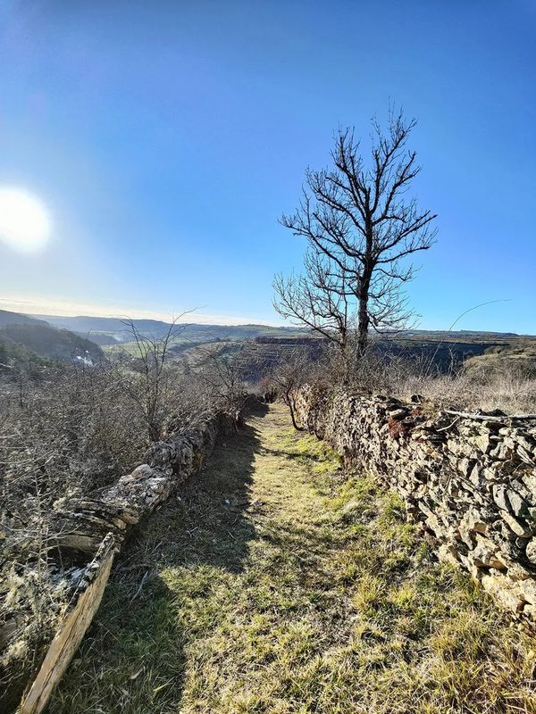 Trail d'Aqui – Coubisou
Coubisou · Vallée du Lot
22.5 km · 894 m D+ · Loop
-
 Trail d'Aqui – Estaing
Estaing · Vallée du Lot
14.8 km · 579 m D+ · Loop
-
 Trail d'Aqui – Le Fel
Le Fel · Vallée du Lot
16.4 km · 566 m D+ · Loop