Trail d'Aqui – Estaing
Loop of 14.8 km with 579 m of climbing, starting from Estaing.
- distance
- 14.8 km
- elevation gain
- 579 m
- high point
- 585 m
The hike
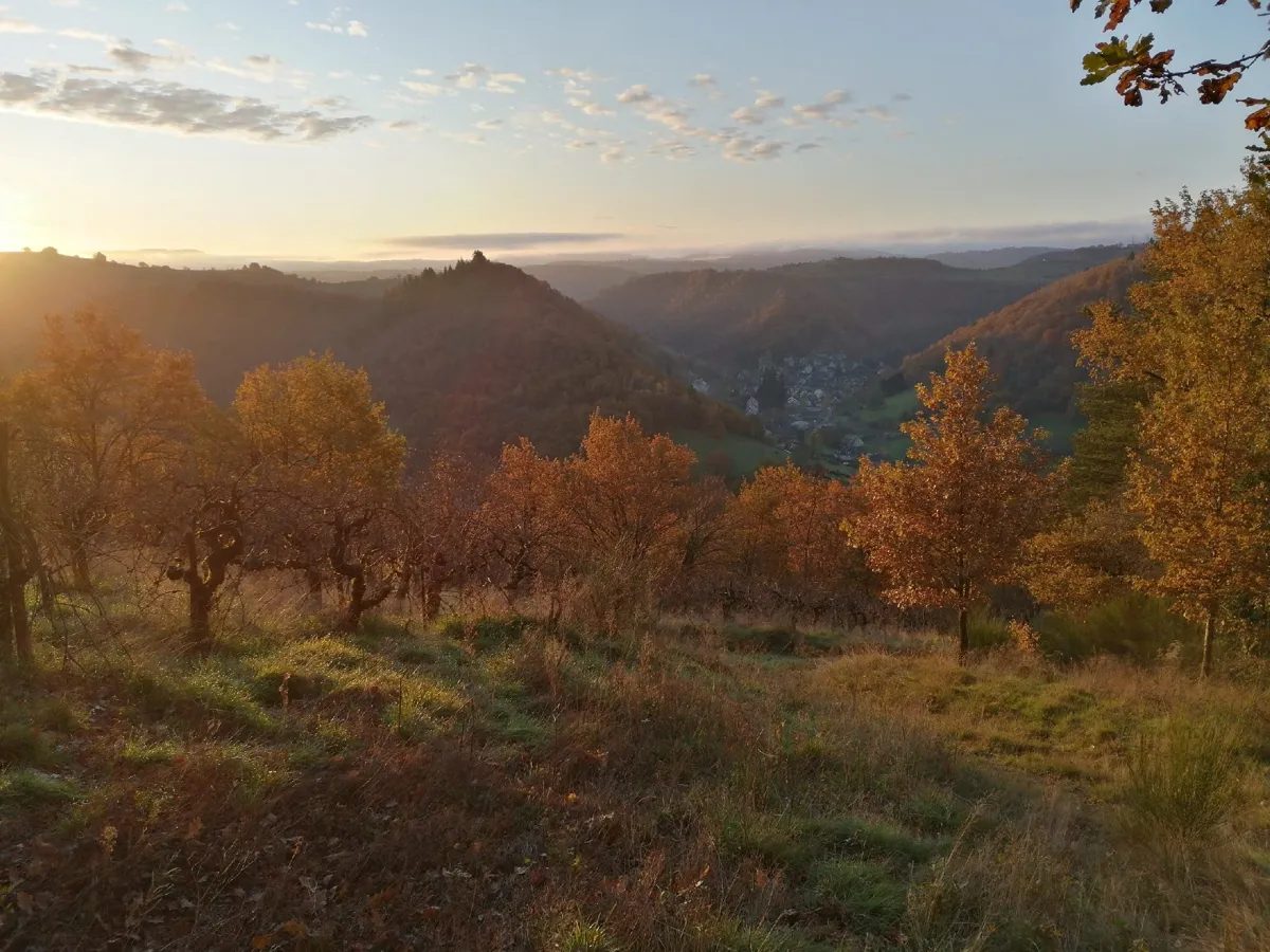
We set off along the rue d'Oultre and after 400 m a beautiful monotrace reminds us that this is a trail. After 900 m, a beautiful rock on the right invites you to take your first photo: Estaing seen from the south-west, wow!
You set off again on a carriage road through ancient vineyards and arrive at the Ouradou chapel. Beware of danger: run 100 m along the D97 and cross with great caution. This reopened road climbs steeply, skirting the vineyards for which Estaing wine is famous.
At km 3.5, you start the descent: single-track, a short stretch of road, then along the edge of a field to finally reach the campsite. No time to pitch the tent, you're off again for 3 km of road along the Liacouze stream. It's rolling, it's shady, it's pleasant. After crossing the creek, things get tougher and you tackle a 1.5 km climb to Anat, where several paths have been reopened.
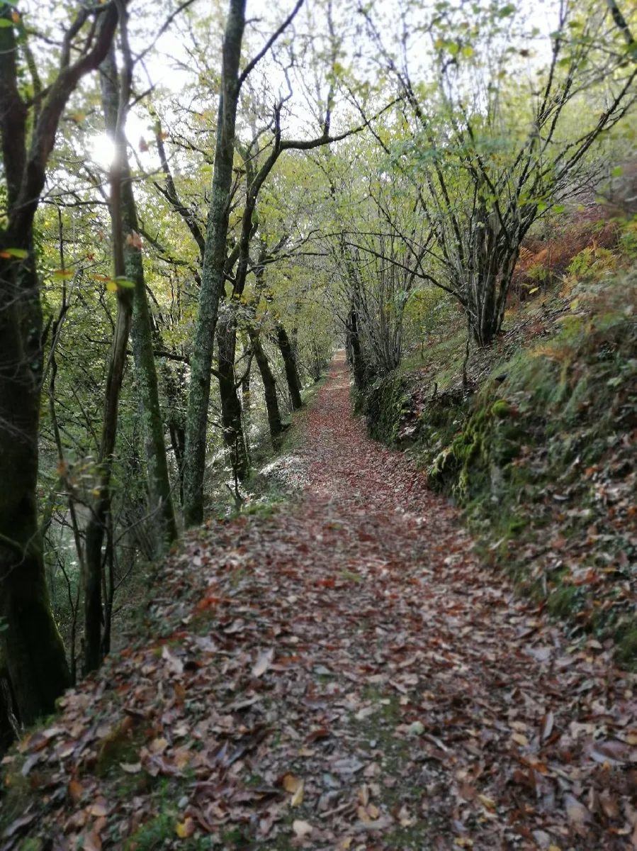
Labro is the high point of the route, and you're off for 2 km of rolling descent, with the last 500 m very challenging. Once over the pretty bridge, you climb back up an old forgotten path through chestnut trees. 2 brief road crossings later, and you're on your way down to Combayre.
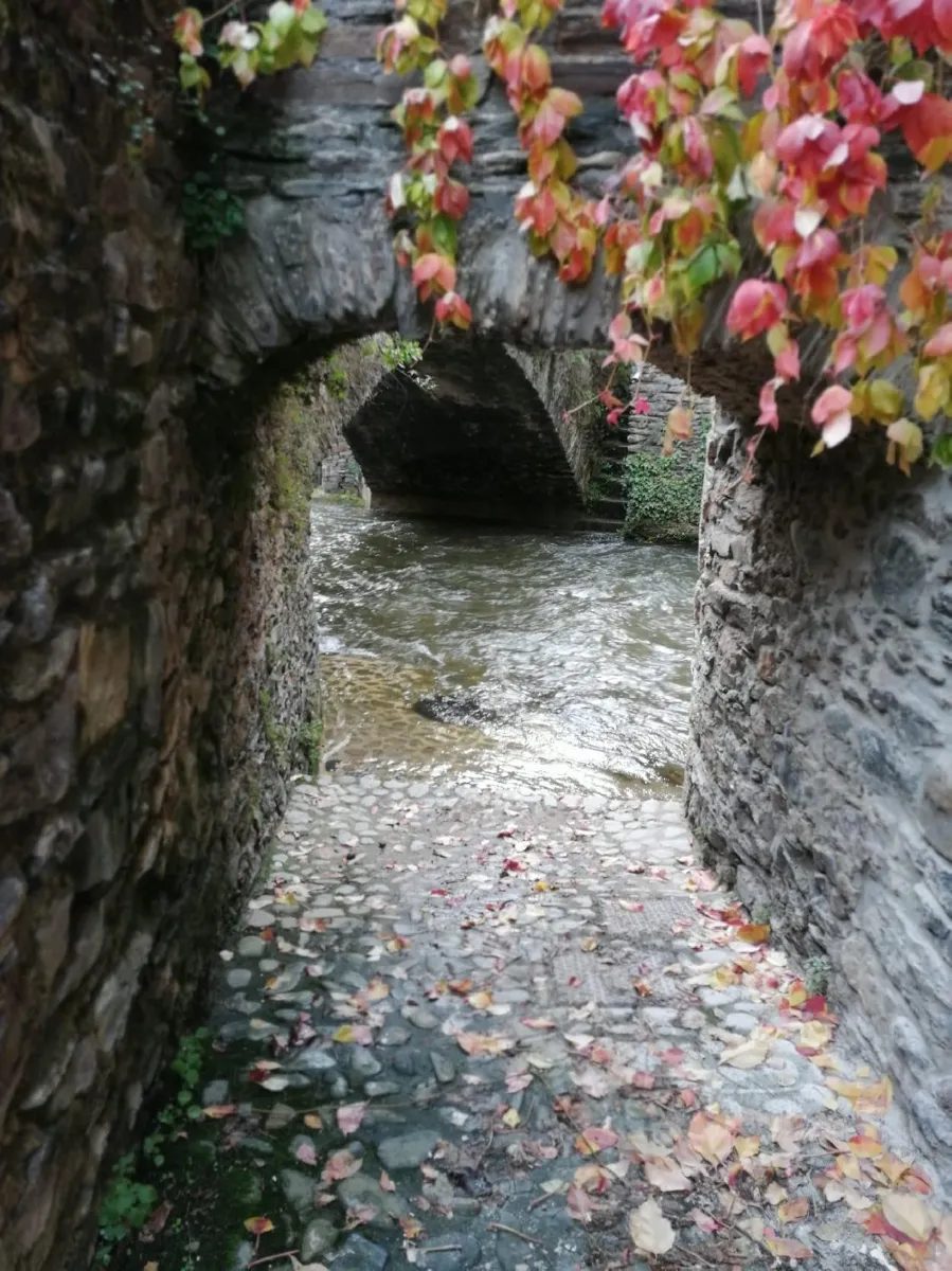
A little respite before the village tour: staircases, traboules, narrow passages, you're in the historic heart of Estaing. You return to the foirail via rue d?Estaing.
More hikes nearby
-
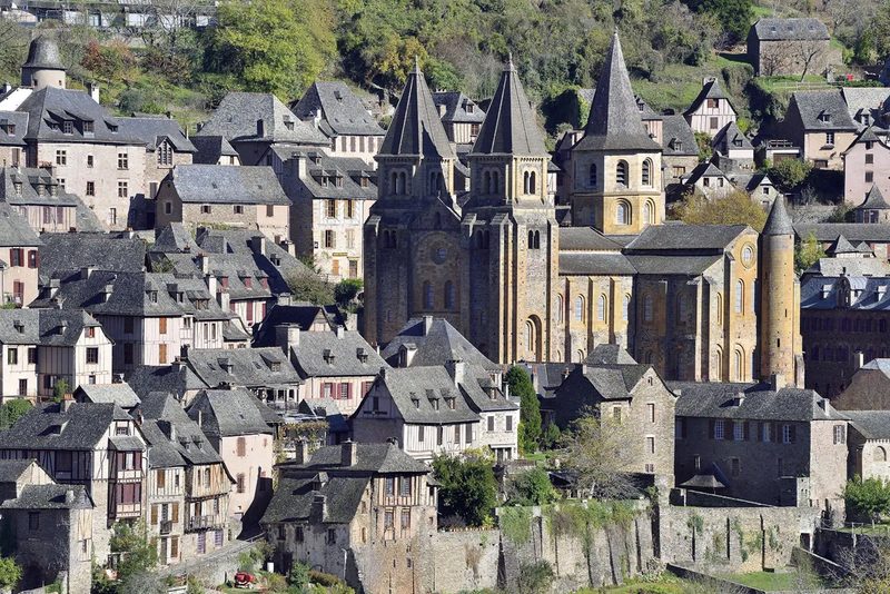 Conques – Le chemin de Dadon
Conques-en-Rouergue · Vallée du Lot
19.9 km · 970 m D+ · Loop
-
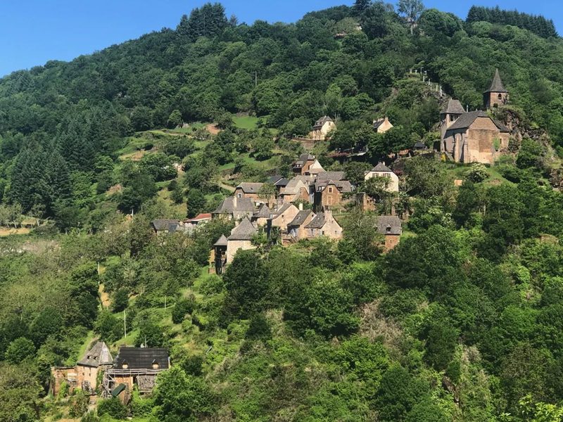 Grand-Vabre
Conques-en-Rouergue · Vallée du Lot
21.1 km · 912 m D+ · Loop
-
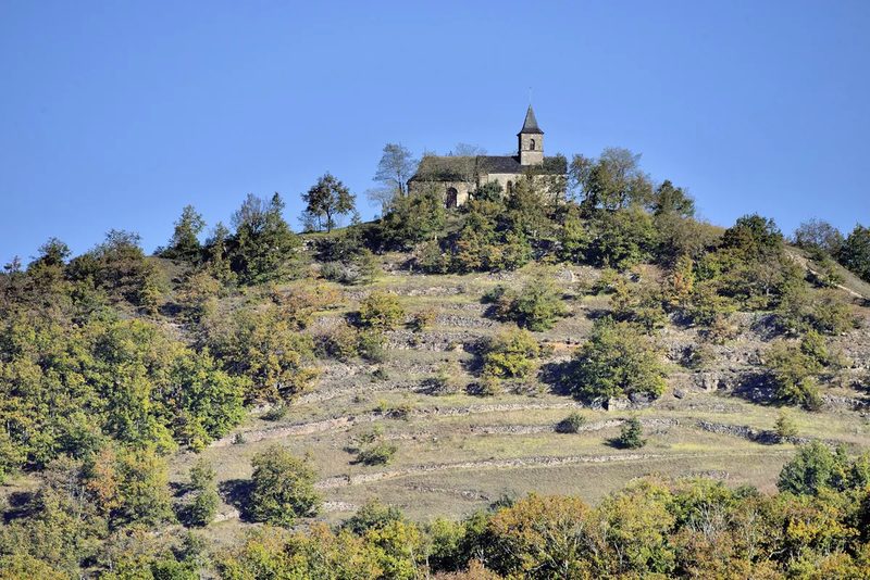 Le Grand-Mas
Mouret · Vallée du Lot
19.3 km · 804 m D+ · Loop
-
 Trail d'Aqui – Campuac
Campuac · Vallée du Lot
18.7 km · 732 m D+ · Loop
-
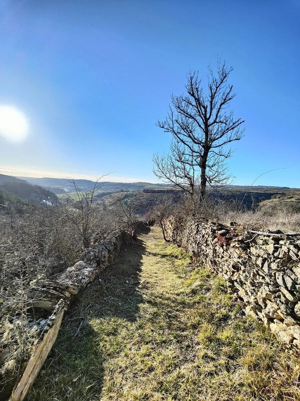 Trail d'Aqui – Coubisou
Coubisou · Vallée du Lot
22.5 km · 894 m D+ · Loop
-
 Trail d'Aqui – Le Fel
Le Fel · Vallée du Lot
16.4 km · 566 m D+ · Loop