Trail d'Aqui – Le Fel
Loop of 16.4 km with 566 m of climbing, starting from Le Fel.
- distance
- 16.4 km
- elevation gain
- 566 m
- high point
- 581 m
The hike
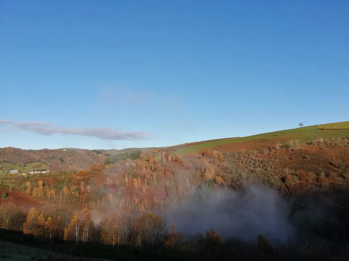
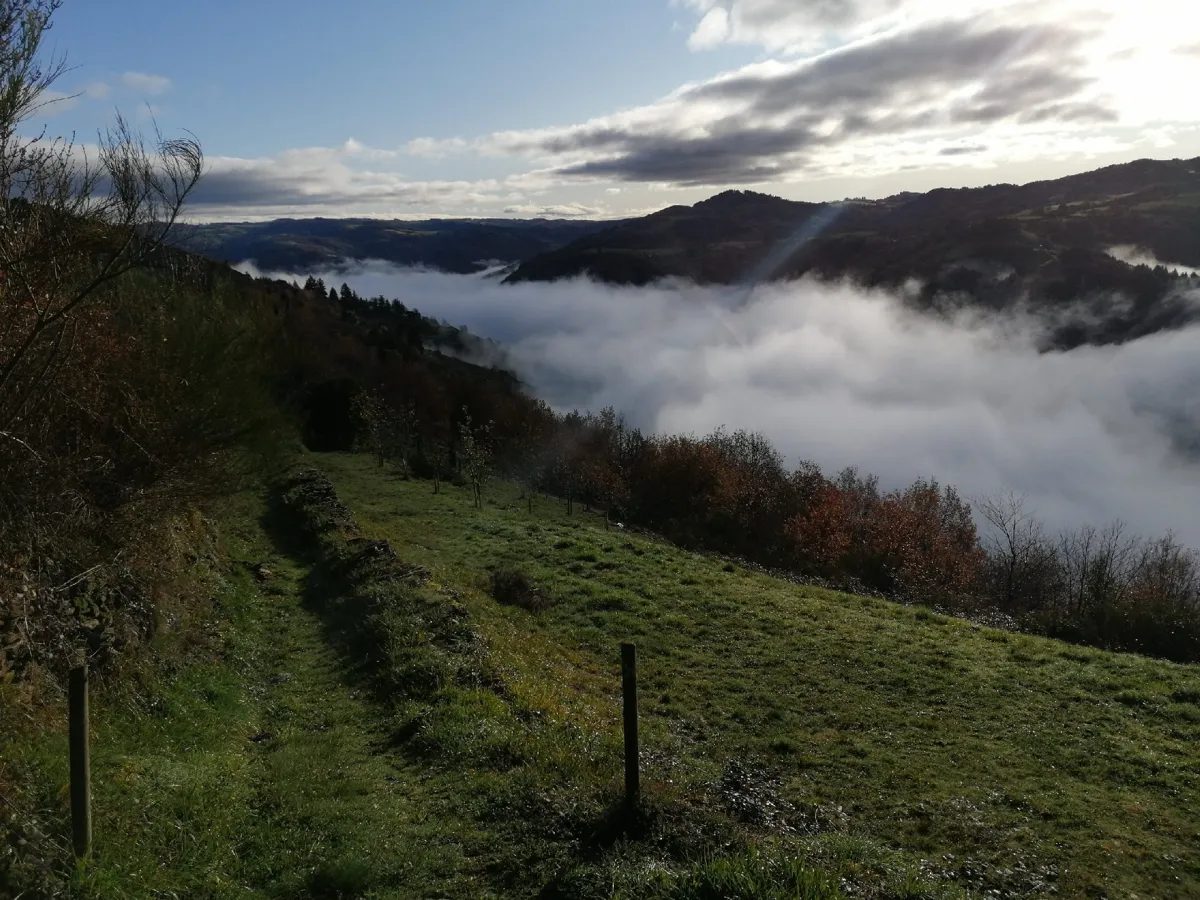
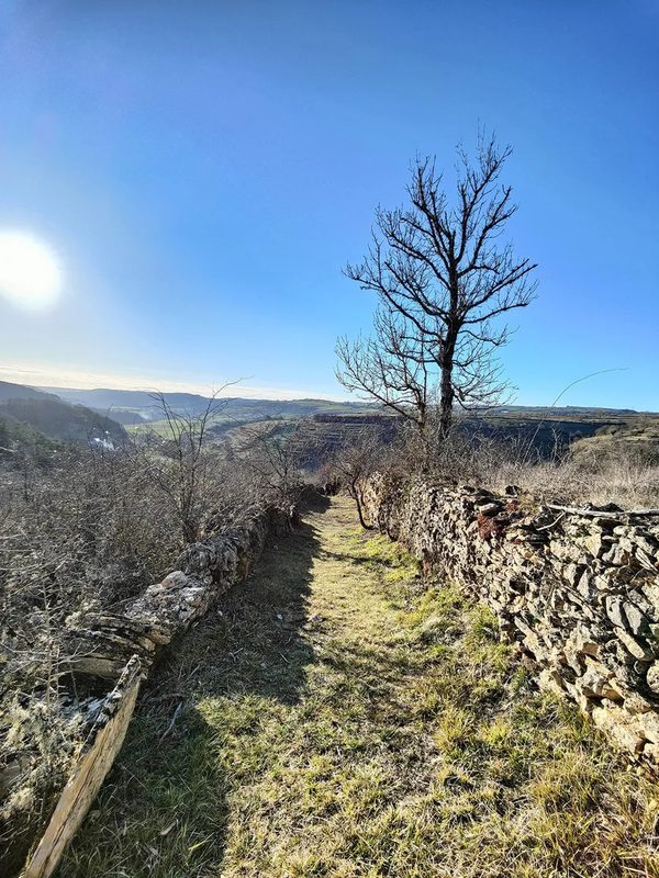
The first kilometer is downhill, which is quite rare and pleasant. For several kilometers, you're on an uphill false flat, admiring the plunging views over the Lot.
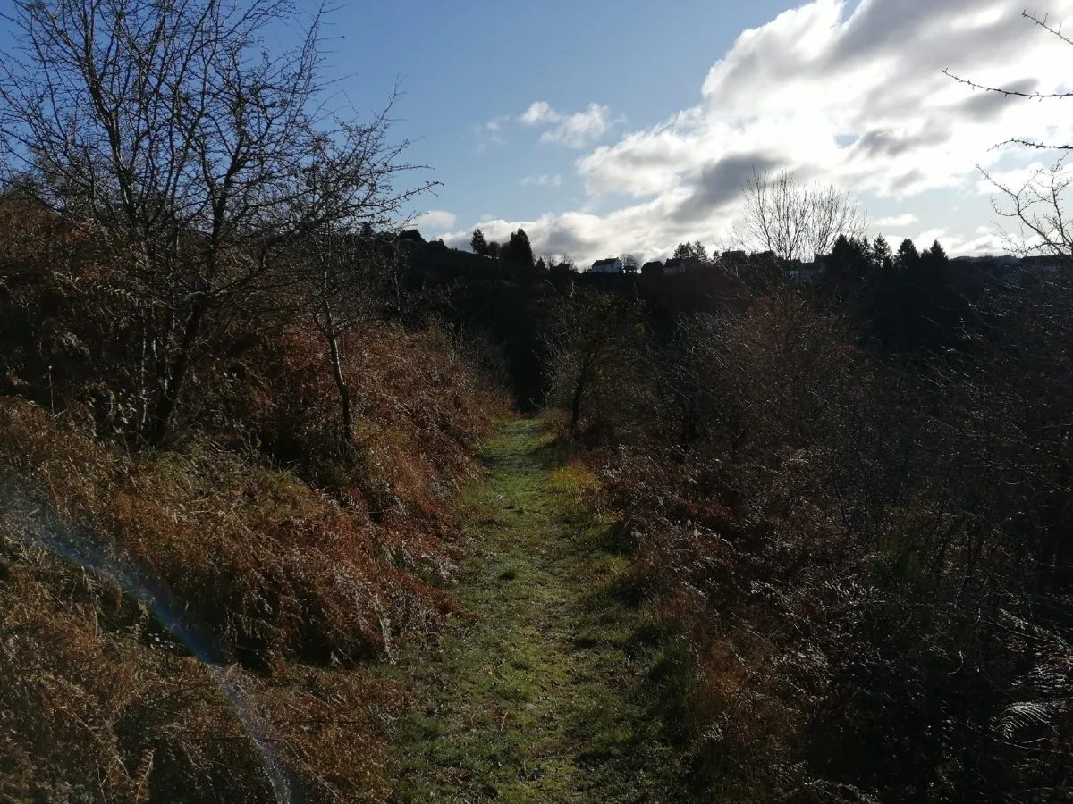
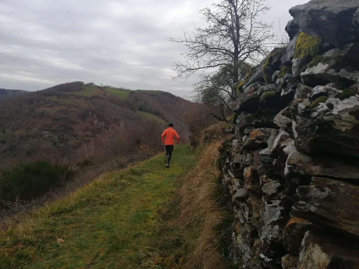
At La Borie de Cayron, 200 m of tarmac takes you back down to the stream before a short wall to Les Terrasses (500 m and 60 D+). A nice carriageway takes you back to La Font de la Coste. Off you go for 3 km of relatively flat rolling road.
At km 11.5, you join the GR 465 and enter the Coteaux du Fel nature reserve. It's beautiful, very beautiful, but beware, this is a protected area. Before crossing the ruisseau de Portez, feel free to open the door of the sécadou (once used to dry chestnuts).
You then climb up to Le Mas through a protected forest, before heading downhill to Le Cargadou.
The last big bump takes you to the heart of the village. Let yourself be carried all the way to the finish?
More hikes nearby
-
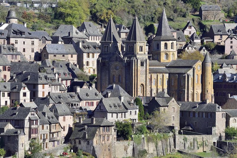 Conques – Le chemin de Dadon
Conques-en-Rouergue · Vallée du Lot
19.9 km · 970 m D+ · Loop
-
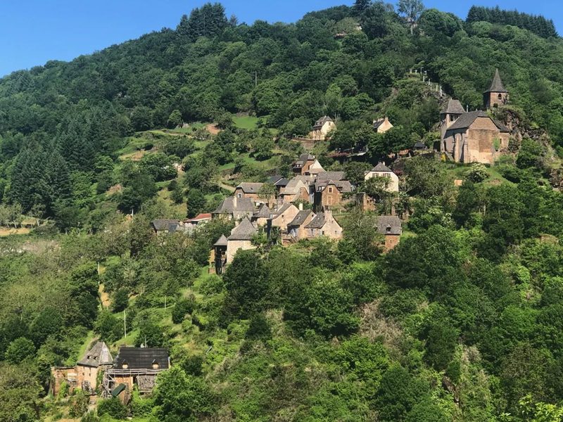 Grand-Vabre
Conques-en-Rouergue · Vallée du Lot
21.1 km · 912 m D+ · Loop
-
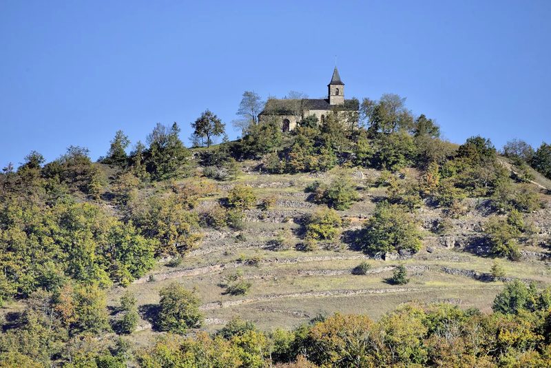 Le Grand-Mas
Mouret · Vallée du Lot
19.3 km · 804 m D+ · Loop
-
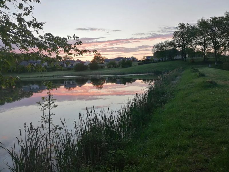 Trail d'Aqui – Campuac
Campuac · Vallée du Lot
18.7 km · 732 m D+ · Loop
-
 Trail d'Aqui – Coubisou
Coubisou · Vallée du Lot
22.5 km · 894 m D+ · Loop
-
 Trail d'Aqui – Estaing
Estaing · Vallée du Lot
14.8 km · 579 m D+ · Loop