Trail d'Aqui – Coubisou
Loop of 22.5 km with 894 m of climbing, starting from Coubisou.
- distance
- 22.5 km
- elevation gain
- 894 m
- high point
- 728 m
The hike
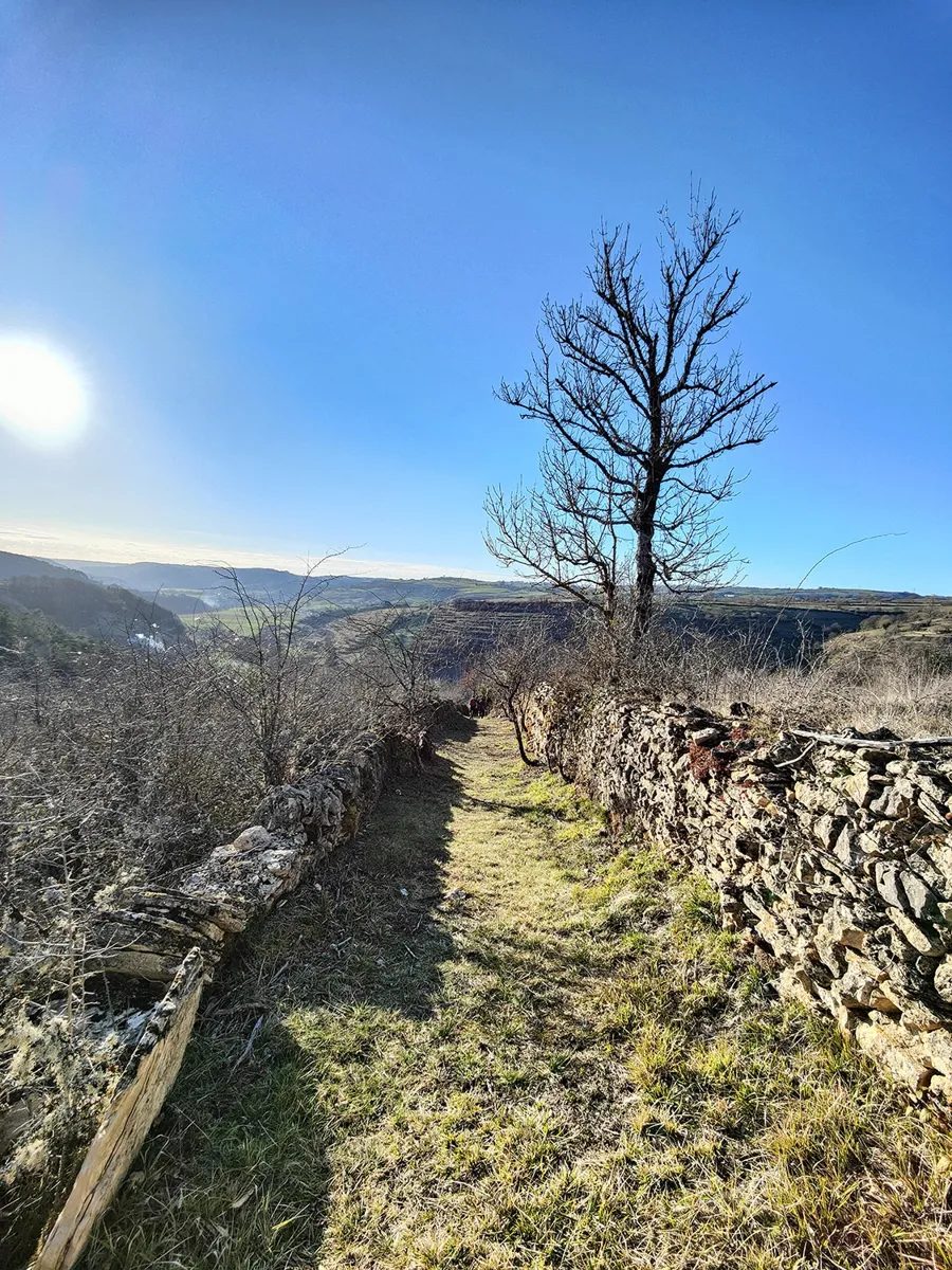
Right from the start, you?re in the mood! It's uphill, but it's beautiful!
After Le Colombier, we switch to the first valley where we wind our way through the fields.
From Murat to the Causse, 1.5km of road allow you to take a breather. Before the switchover into the Coussane valley: it's fresh, it's good!
In the village, you need to be fresh as you set off for 4km and 360 D+. Admire the view from Carbasse! Once you've reached the summit, there's no time to rest, as you head straight downhill on a large, rolling trail!
You then pass through Murat and Le Colombier in the opposite direction.
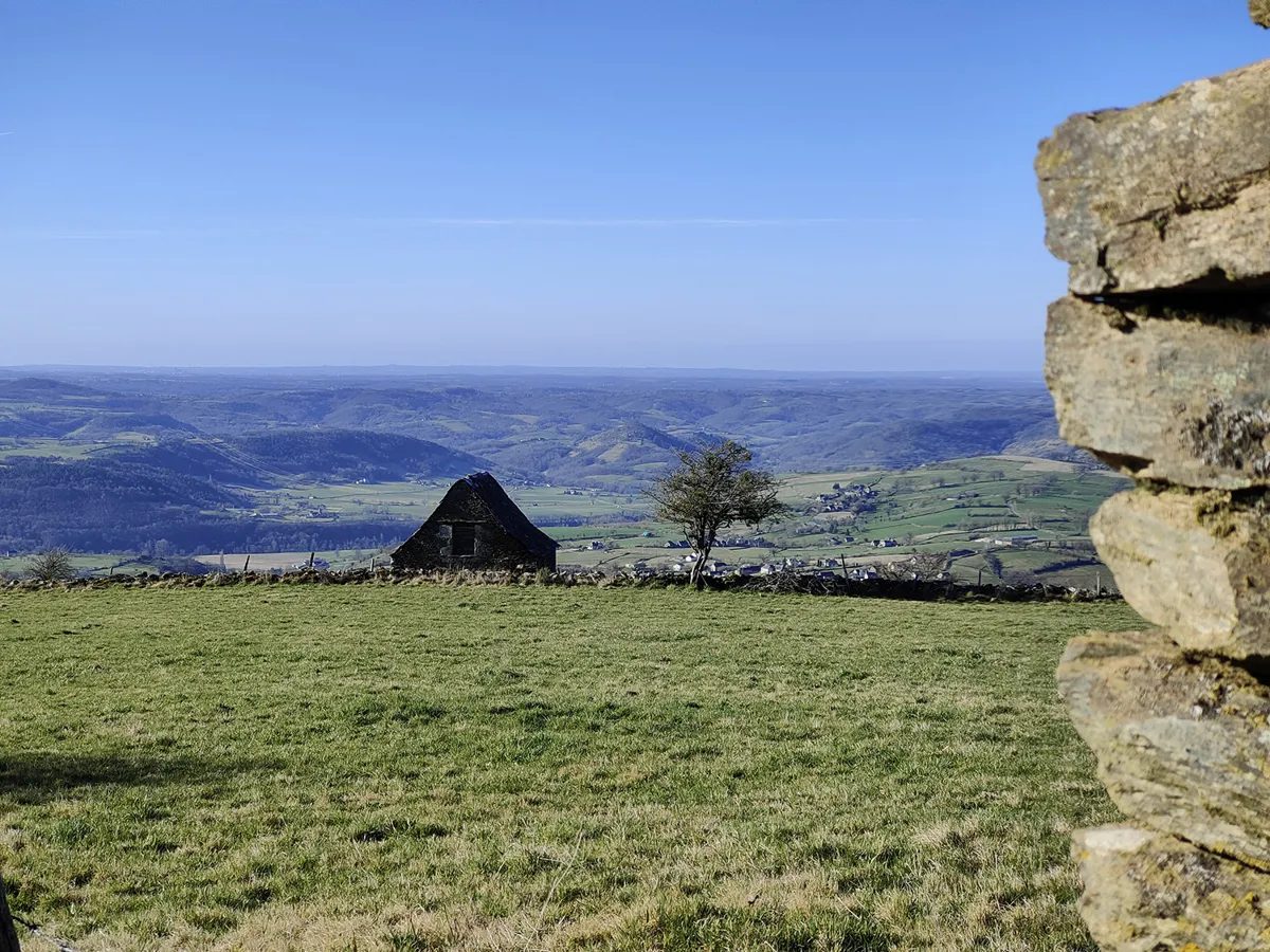
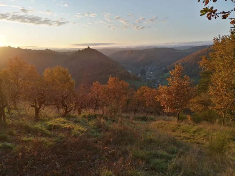
At Coubisou, you climb back up for the 2nd loop through the vineyards. The view is sublime. It's steep uphill, and steep downhill!
From Marrons to Jeunières, you climb 1km of road. It's hard, it's straight, but it's the price you pay for the rest: 1km of single-track through Pègues to Cambon.
The 3rd and final loop is refreshing: after 400m and 130 D+ of hard climbing to reach Le Bousquet, the end is very pleasant. The shade offered by the vegetation will allow you to tackle the last 2 km calmly, along the Reboulat stream.
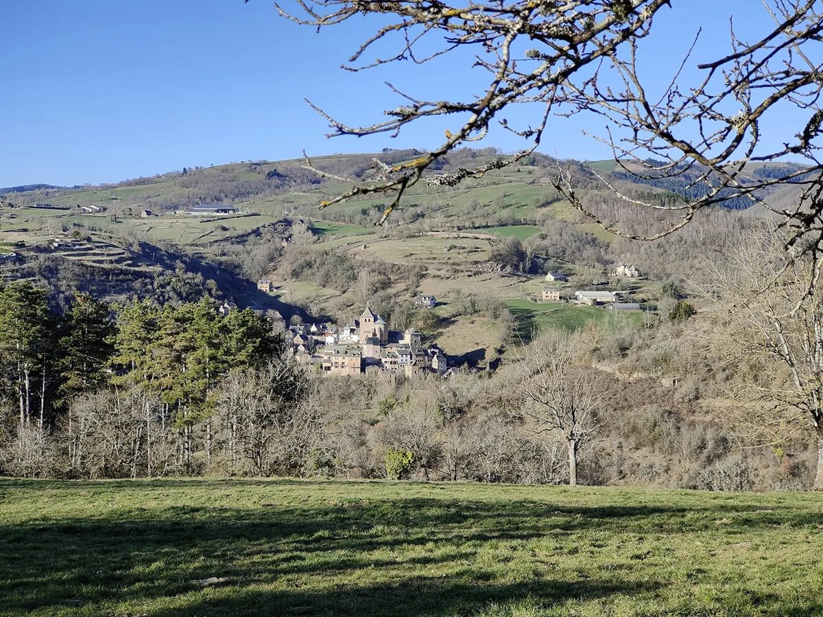
The finish in the village provides an opportunity to take one last photo of this sublime village.
More hikes nearby
-
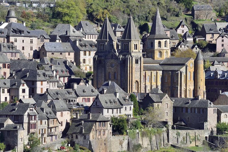 Conques – Le chemin de Dadon
Conques-en-Rouergue · Vallée du Lot
19.9 km · 970 m D+ · Loop
-
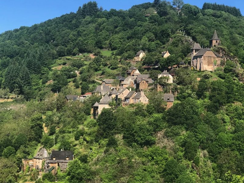 Grand-Vabre
Conques-en-Rouergue · Vallée du Lot
21.1 km · 912 m D+ · Loop
-
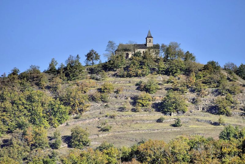 Le Grand-Mas
Mouret · Vallée du Lot
19.3 km · 804 m D+ · Loop
-
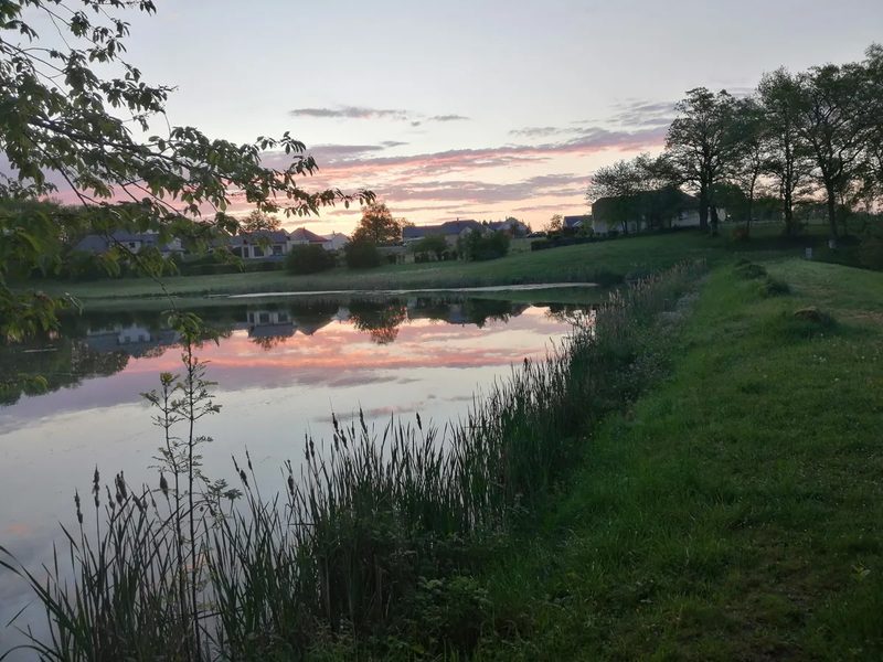 Trail d'Aqui – Campuac
Campuac · Vallée du Lot
18.7 km · 732 m D+ · Loop
-
 Trail d'Aqui – Estaing
Estaing · Vallée du Lot
14.8 km · 579 m D+ · Loop
-
 Trail d'Aqui – Le Fel
Le Fel · Vallée du Lot
16.4 km · 566 m D+ · Loop