Trail d'Aqui – Saint Côme d'Olt
Loop of 25.3 km with 994 m of climbing, starting from Saint-Côme-d'Olt.
- distance
- 25.3 km
- elevation gain
- 994 m
- high point
- 797 m
The hike
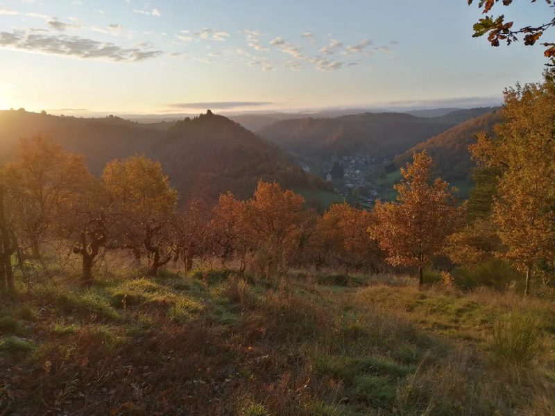
The first 3km loop takes you to the heights of St Come, not far from the Calvaire, amidst the vines. Stunning views over the village and the Lot valley.
You then descend to the Convent of Mallet, an imposing edifice and pilgrim stopover.
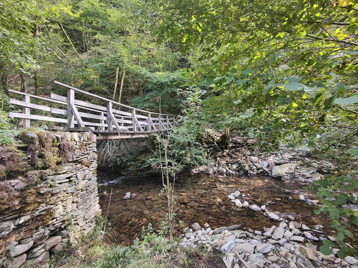
From here, you'll climb almost constantly for 10km, accumulating 500 D+: la Rigaldie, Cinqpeyres, la Rozière, le Mas del Rey and finally the outskirts of Salgue Basse, where the dreaded donkey trail takes you to the Moulin du Terral (1km and 150 D-). What a cool, unspoilt valley this is.
But beware, the next climb is as sublime as it is terrible: 250 D+ in 1.2km.
At the summit, where the GR meets, there are 11km to go, of which almost 10km is downhill!
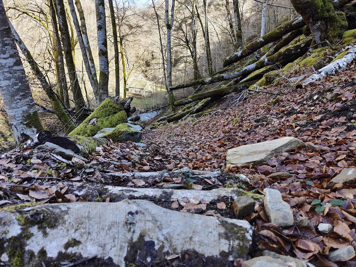
The descent starts out very rolling on gravel, then turns into a technical monotrace on the final stretch before the creek.
A tricky climb to La Rozière, where you passed on the outward journey (don't miss the drinking water point).
After 2 common sections on the outward journey, you head south-east to find a monotrace that takes you gently back to St Côme.
As is traditional on Trail d?Aqui, the finish is a delightful discovery of the village streets, so keep your eyes peeled for pilgrims and admire the architecture!
More hikes nearby
-
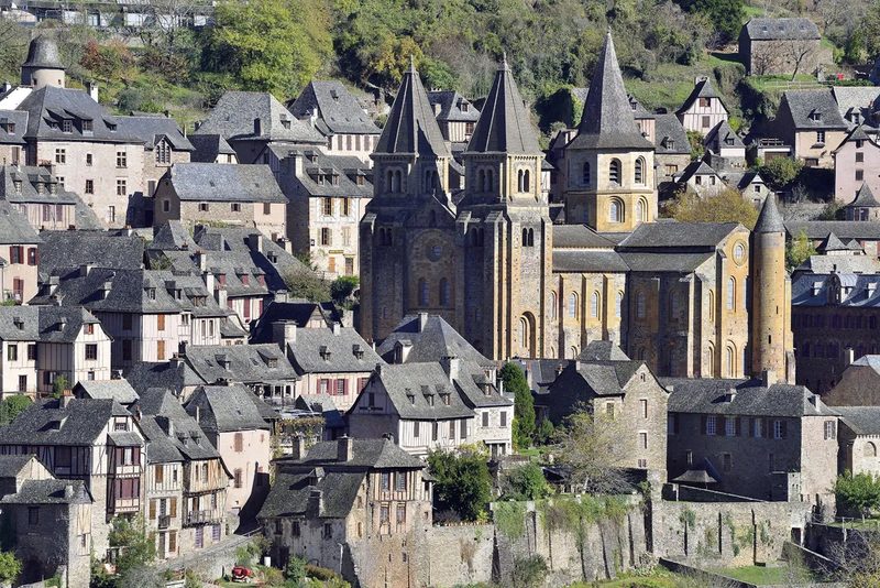 Conques – Le chemin de Dadon
Conques-en-Rouergue · Vallée du Lot
19.9 km · 970 m D+ · Loop
-
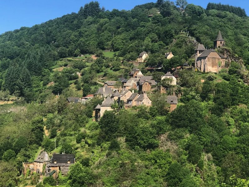 Grand-Vabre
Conques-en-Rouergue · Vallée du Lot
21.1 km · 912 m D+ · Loop
-
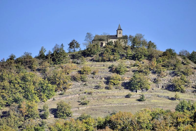 Le Grand-Mas
Mouret · Vallée du Lot
19.3 km · 804 m D+ · Loop
-
 Trail d'Aqui – Campuac
Campuac · Vallée du Lot
18.7 km · 732 m D+ · Loop
-
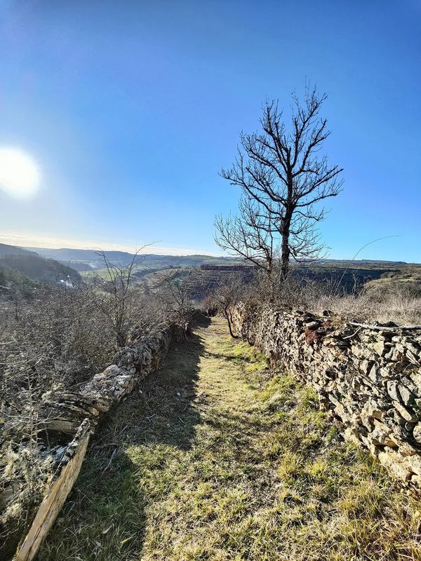 Trail d'Aqui – Coubisou
Coubisou · Vallée du Lot
22.5 km · 894 m D+ · Loop
-
 Trail d'Aqui – Estaing
Estaing · Vallée du Lot
14.8 km · 579 m D+ · Loop