Le tour des Crêtes
Loop of 30.5 km with 1,146 m of climbing, starting from Le Thillot.
- distance
- 30.5 km
- elevation gain
- 1,146 m
- high point
- 994 m
The hike
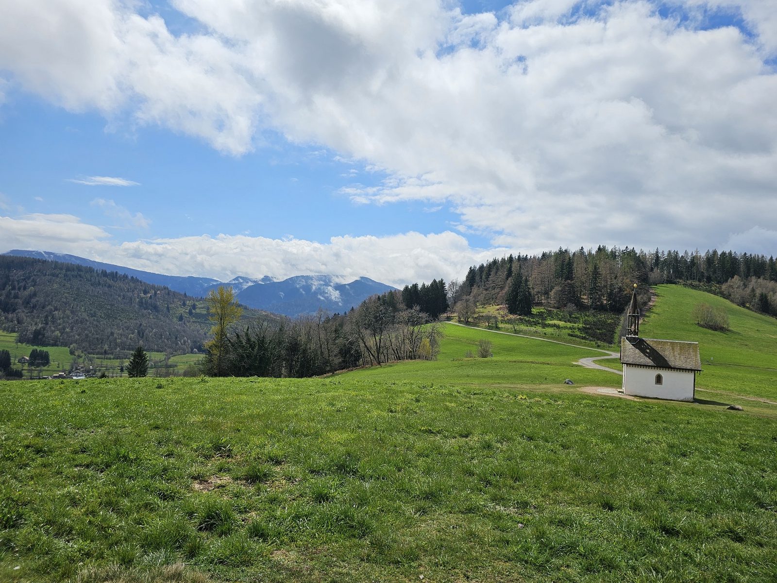
Difference in altitude: 1250 m - Duration: 3h 30 to 7h - Trail markings n°12 red + Club Vosgien - Difficult level. Start: Hautes Mynes Museum parking lot. Remember that in the mountains, you're always staying with someone who tolerates your presence, and on this trail you may find yourself rubbing shoulders with the owner's dogs in the Pré Martin sector. This tour between Le Thillot and Saint-Maurice-sur-Moselle is a magnificent long-distance outing in the heart of the Haute-Moselle region, offering you the opportunity to discover some of the region's must-see sites. You'll pass through the Chaillon sector, the Chapelle des Vés, the Pic des Corbeaux, the Hauts de la Lochère, the Chalet and Croix de Fresse, the Borne des 3 communes, the Longeligoutte sector and its shelter, the Hautes-Mynes historic site, the Vierge des Neiges and the Pré Martin. A very hilly course that skilfully alternates steep climbs and fast descents, ideal for practising relaunching while building up a nice vertical drop at the end of the course.
More hikes nearby
-
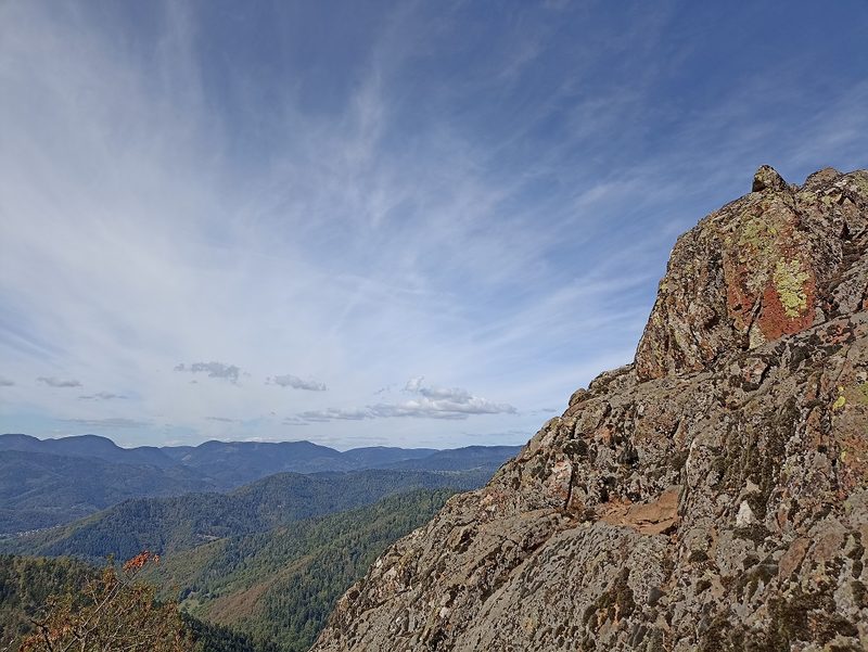 Camp Turenne et Tour du Wolfskopf
Cernay · Hautes-Vosges
17.1 km · 617 m D+ · Loop
-
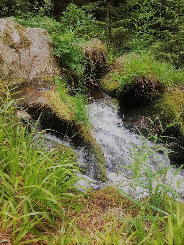 Cascade du Rudlin – Gazon du Faing
Plainfaing · Hautes-Vosges
12.5 km · 624 m D+ · Loop
-
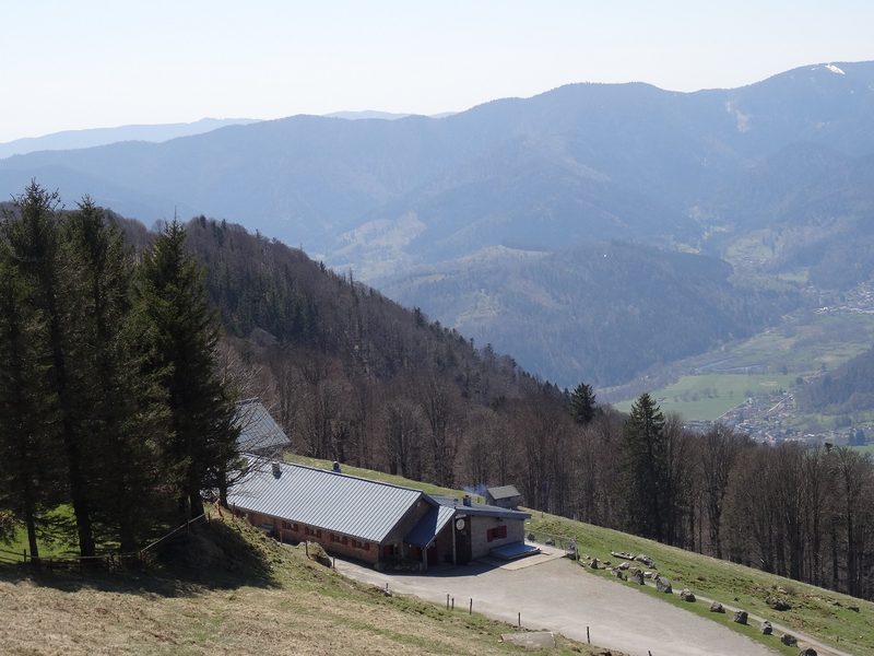 Envol vers le Treh et le Markstein
Fellering · Hautes-Vosges
18.1 km · 1,013 m D+ · Loop
-
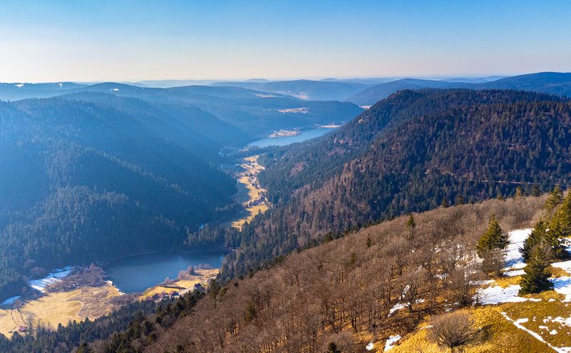 Hautes Chaumes et lacs
Gérardmer · Hautes-Vosges
40.9 km · 1,892 m D+ · Loop
-
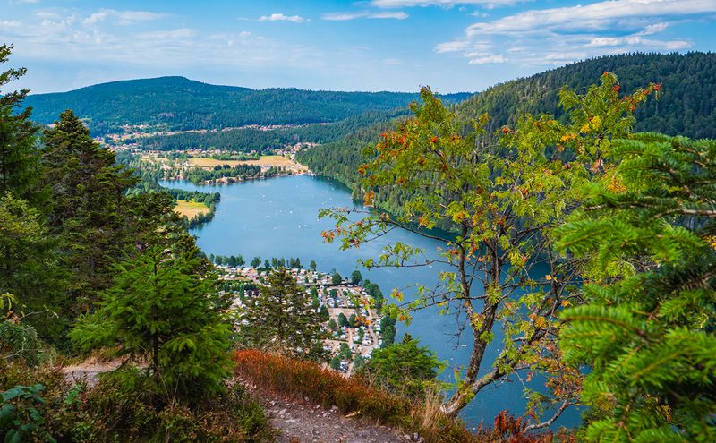 L'Entre 2 Lacs
Gérardmer · Hautes-Vosges
21.8 km · 974 m D+ · Loop
-
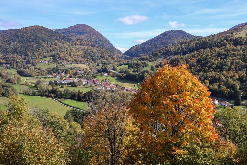 La p'tite trotte des Hautes Vosges
Fresse-sur-Moselle · Hautes-Vosges
22.2 km · 854 m D+ · Loop