Le Ballon d'Alsace
Loop of 16.2 km with 873 m of climbing, starting from Saint-Maurice-sur-Moselle.
- distance
- 16.2 km
- elevation gain
- 873 m
- high point
- 1,246 m
The hike
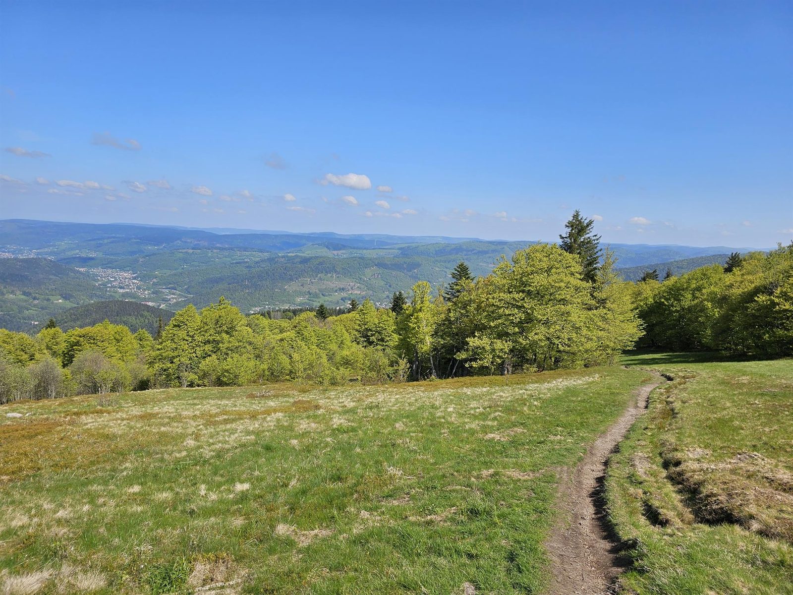
Difference in altitude: 900 m - Duration: 2h10 to 4h20 - Trail markings no. 8 red + Club Vosgien - Difficulty level. Start: Tourist Office parking lot. A superb trail from Saint-Maurice-sur-Moselle, perfect for discovering and climbing the mythical Ballon d'Alsace. The ascent is demanding but highly enjoyable, alternating between shady forest sections and open stretches offering superb panoramic views to reach the Joan of Arc Statue. Once at the summit, the view stretches from the Alsatian plains to Mont-Blanc on a clear day. The descent is made along the same path before joining wide forest tracks past the Chalet Spiller towards the Goutte du Rieux. A final effort on a fine trail before heading back down to the village center, the starting point of this loop. An excellent route for an outing with a difference in altitude, while discovering the exceptional landscapes of the Ballons des Hautes-Vosges.
More hikes nearby
-
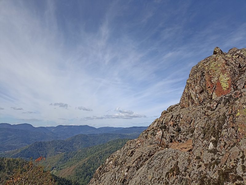 Camp Turenne et Tour du Wolfskopf
Cernay · Hautes-Vosges
17.1 km · 617 m D+ · Loop
-
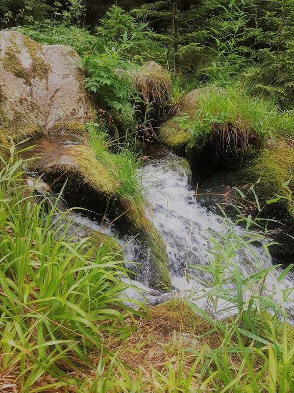 Cascade du Rudlin – Gazon du Faing
Plainfaing · Hautes-Vosges
12.5 km · 624 m D+ · Loop
-
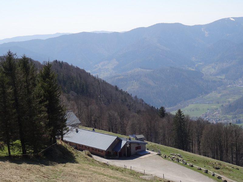 Envol vers le Treh et le Markstein
Fellering · Hautes-Vosges
18.1 km · 1,013 m D+ · Loop
-
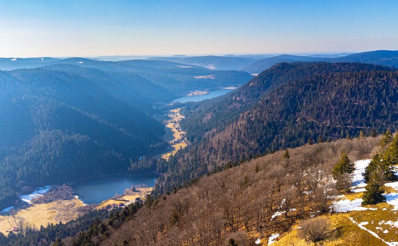 Hautes Chaumes et lacs
Gérardmer · Hautes-Vosges
40.9 km · 1,892 m D+ · Loop
-
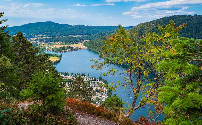 L'Entre 2 Lacs
Gérardmer · Hautes-Vosges
21.8 km · 974 m D+ · Loop
-
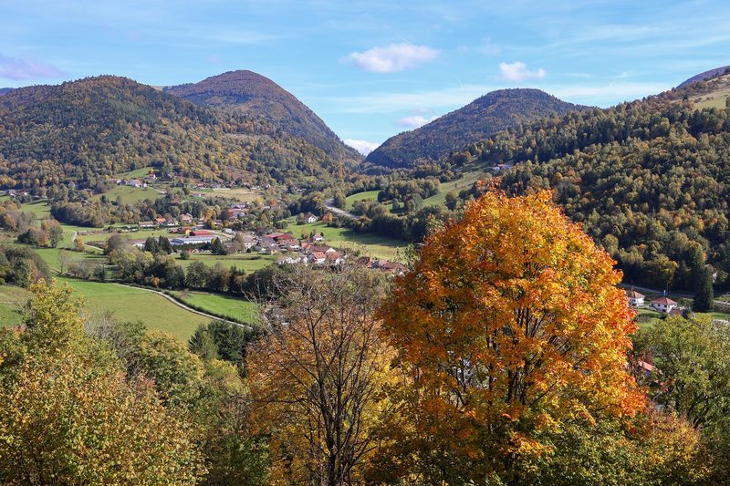 La p'tite trotte des Hautes Vosges
Fresse-sur-Moselle · Hautes-Vosges
22.2 km · 854 m D+ · Loop