Entre Abbaye et Châteaux
Loop of 22.1 km with 292 m of climbing, starting from Cirey.
- distance
- 22.1 km
- elevation gain
- 292 m
- high point
- 288 m
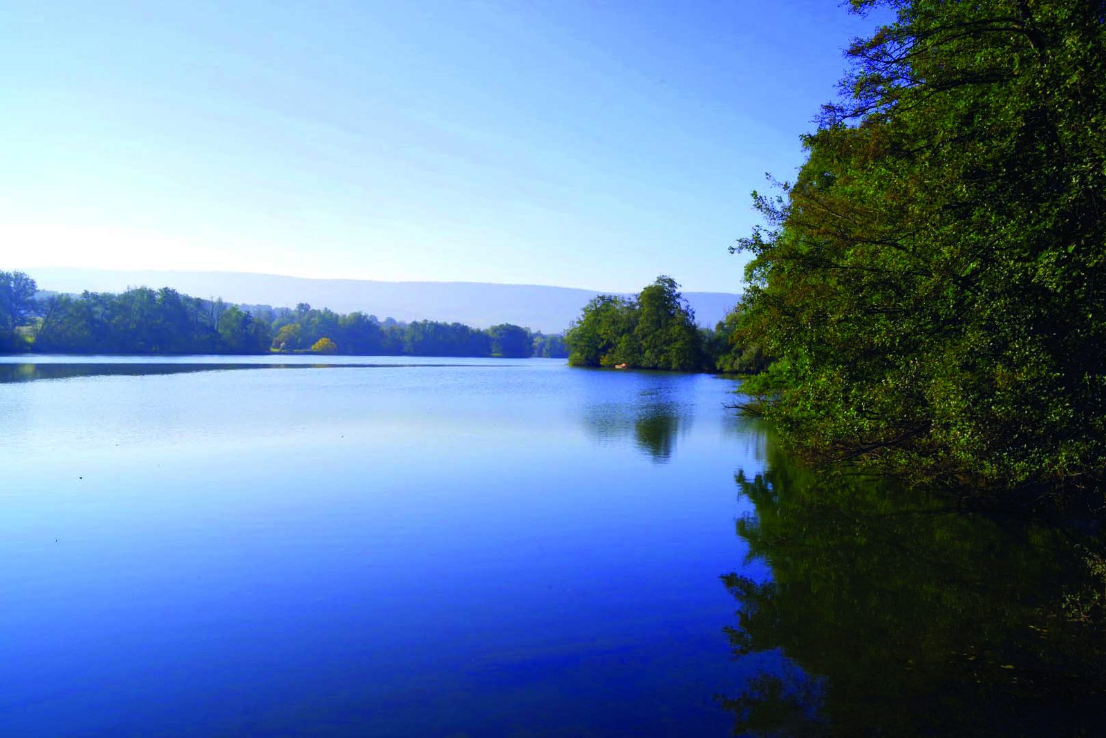
The hike
Turn right onto Rue de l'Eglise. At the end of the village, turn right again. Cross the road and continue along the Bois de la Lançoire to the heights of Cirey. Cross the road to Chambornay-lès-Bellevaux.
Leave the road and take a path on the right into the woods alongside the château (Ancienne Abbaye). Follow the signs to Chambornay-lès-Bellevaux.
On leaving the village, head towards Aulx-lès-Cromary, then continue towards Neuvelle-lès-Cromary (road on right) just after the Chapelle Saint-Justin.
At Moulin de Malgérard, turn left onto the
left along the stream. Turn left onto the D5 for 200 m, then right onto the track that runs alongside woods and fields.
Cross the D31 to reach the village of Aulx-lès-Cromary. Turn right just after the farm onto the footpath. Turn right onto the D30.
Turn left after the bridge, towards Thurey-le-Mont. Follow the signs and leave the village on the Chemin de la Combe for 100 metres. Take the path on the right, then continue into the Bois Bas. When you reach the forest road, turn left.
7? at the end of the wood, go straight on to reach Cirey. Cross the Ognon and turn left into rue de l?église to get back to the starting point.
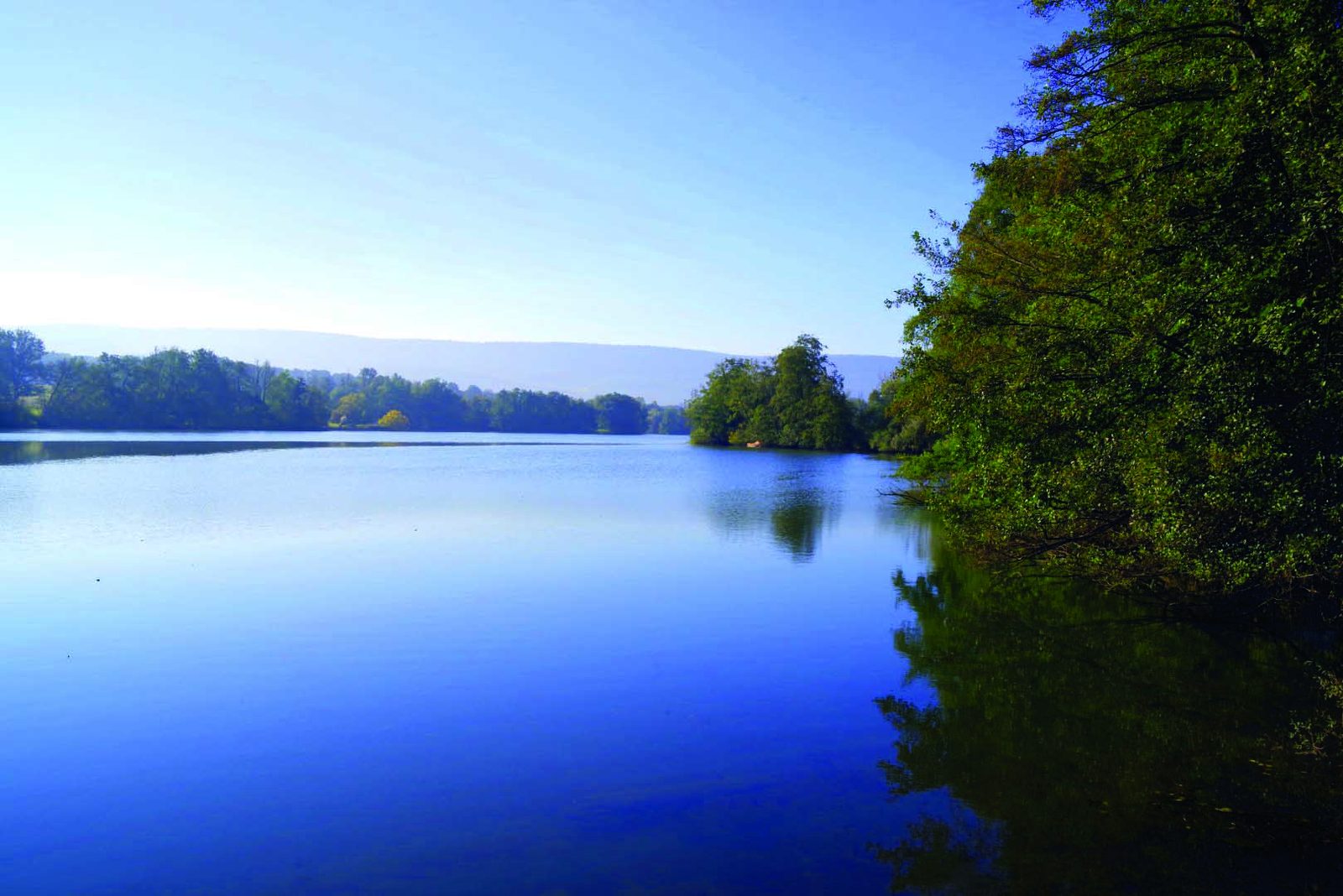
More hikes nearby
-
 Autour de Brancion
Martailly-lès-Brancion · Mâconnais
11.1 km · 283 m D+ · Loop
-
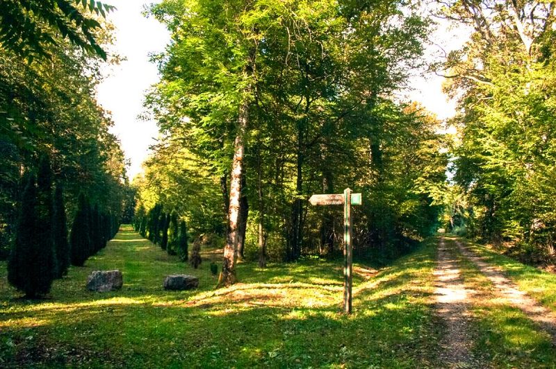 Bois des Fouchères
Recologne
14.6 km · 64 m D+ · Loop
-
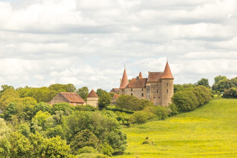 Boucle Gueugnon-Chassy
Gueugnon
11.4 km · 155 m D+ · Loop
-
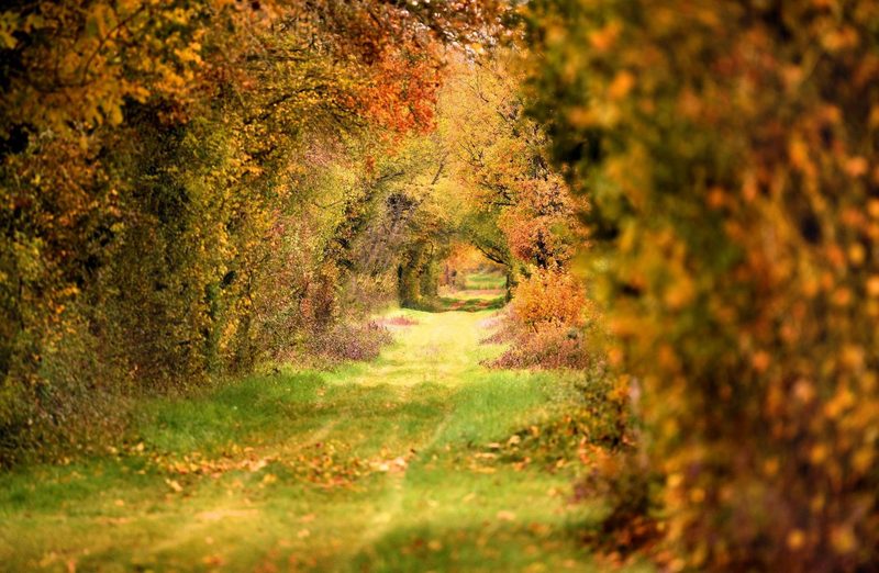 Chemin de la Romance
Lain · Puisaye
17.7 km · 227 m D+ · Loop
-
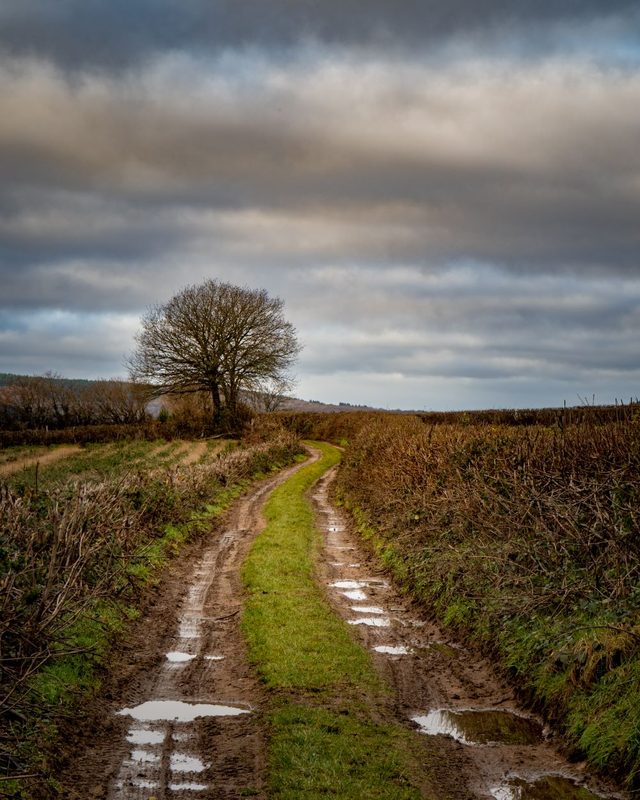 Chemin du Tacot
Alligny-en-Morvan · Morvan
7.5 km · 182 m D+ · Loop
-
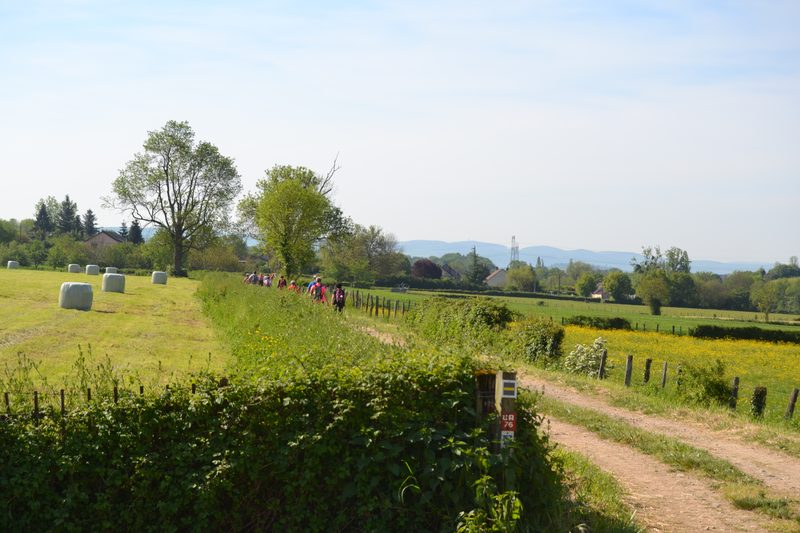 Chemins de la Jouvencelle
Saint-Gengoux-le-National · Côte chalonnaise
18.5 km · 383 m D+ · Loop