L'Ardille
Loop of 12.5 km with 266 m of climbing, starting from Migé.
- distance
- 12.5 km
- elevation gain
- 266 m
- high point
- 323 m
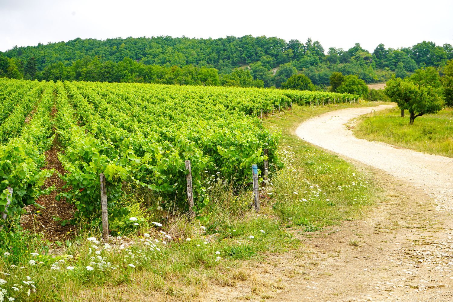
The hike
Depart from the center of Migé village, at the foot of the town hall and from the parking lot in front of the small pond.
(D/A) Opposite the pond and benches, turn left onto Rue de l'Étang. When you reach the church, go straight ahead and then turn left to follow the Grande Rue to the village exit.
(1) At this fork, go straight ahead. At the next fork, leave the road and turn left into the Chemin des Laves. Enter the woods and, at the crossroads, turn right to stay on the main road.
(2) Carefully cross the road, turn right for about 50 m and take the path on the left. Cross the Ru de Genotte. Begin a fairly steady climb, always keeping to the right-hand path. At the end of the wood, continue along the edge with an overhanging power line.
(3) Go straight ahead at this crossroads, where the power line serves as a landmark. Keep to the right for a few dozen metres. Pass under the power line and leave the wooded area. At a crossroads, turn right. Join a road.
(4) Cross it and follow the path. Cut through a small lane again to begin the descent to Charentenay.
(5) Cross this junction carefully, heading towards the village. Pass adjacent streets to reach the Grande Rue. Turn left.
Pass the Saint-Laurent church and continue straight ahead to the crow's-foot junction.
(6) Turn right into Rue de la Poterne. At the next intersection, turn right, passing the Sentier de Derrière les Murs on your right, and drive up the partly asphalted lane. Ignore the access road to the telecom pylon and the next one on the left.
(7) The tarmac is finished, the path goes straight ahead and continues to climb, but the gradient has become gentler.
(8) Shortly before an old vineyard, turn right to begin a descent into Nanteau. Turn left onto the first track you come to. Let the next one on the left lead into the plain. Pass a small spring on your left.
(9) Turn left into the side street (Grande Rue de Nanteau). There's a wash-house below. An arduous climb leads to a plateau at the end of the wood.
(10) Turn right and drive approx. 150 m to turn right again. At the fork, turn left.
(11) Enter the undergrowth, keeping to the main path. This is followed by a good descent which continues into a more open area.
Shortly before the road, turn left onto a grassy track (not shown on the IGN map) and you're back on the road.
(12) Cross the road with care, and head downhill on a fairly wide track.
(13) Leave the track and turn left onto the road, continuing downhill. Go straight ahead at the first crossroads and turn left into Rue de la Petite Fontaine (old oil mill on the right). Turn right onto the square to reach the parking area (D/A).
More hikes nearby
-
 Autour de Brancion
Martailly-lès-Brancion · Mâconnais
11.1 km · 283 m D+ · Loop
-
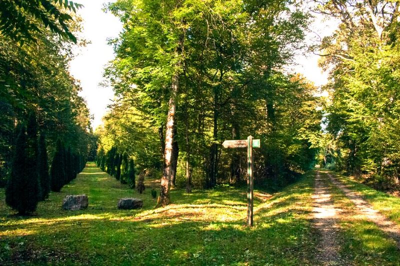 Bois des Fouchères
Recologne
14.6 km · 64 m D+ · Loop
-
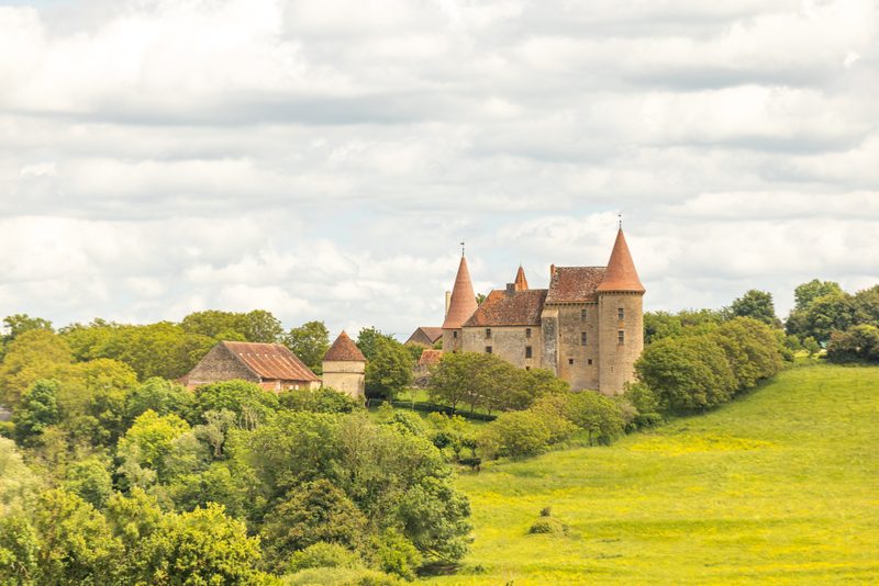 Boucle Gueugnon-Chassy
Gueugnon
11.4 km · 155 m D+ · Loop
-
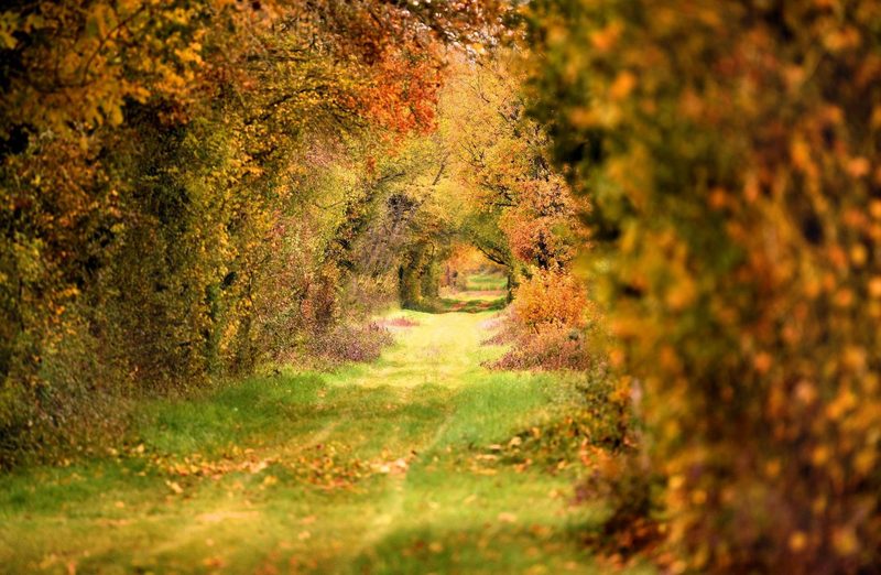 Chemin de la Romance
Lain · Puisaye
17.7 km · 227 m D+ · Loop
-
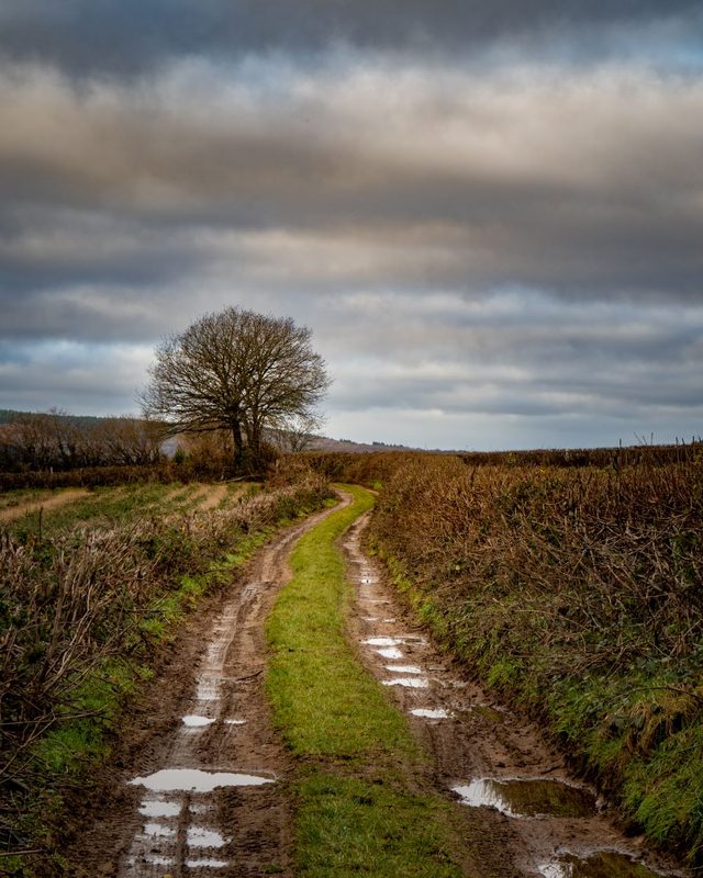 Chemin du Tacot
Alligny-en-Morvan · Morvan
7.5 km · 182 m D+ · Loop
-
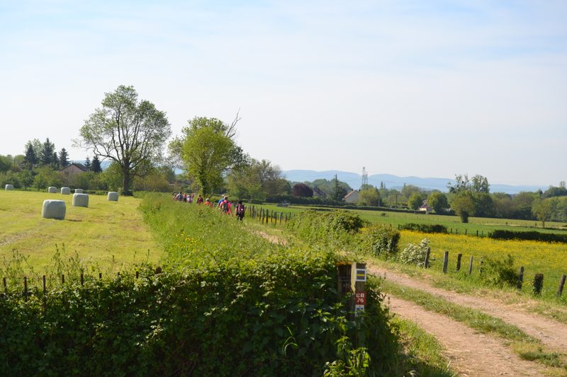 Chemins de la Jouvencelle
Saint-Gengoux-le-National · Côte chalonnaise
18.5 km · 383 m D+ · Loop