La Fosse Dionne & les coteaux d'Epineuil
Loop of 19.2 km with 231 m of climbing, starting from Tonnerre.
- distance
- 19.2 km
- elevation gain
- 231 m
- high point
- 308 m
The hike
Opposite the station, turn right into Avenue de la Gare. After 50 m, turn left into ruelle de la Gare. At rue du Pont, turn left and pass under the railway bridge. Continue along rue Aristide-Briand. Turn right before the bridge, towards the campsite. At the campsite, take the footbridge on the left, then turn right onto the Chemin du Halage.
Cross the canal at the Arcault lock. Turn left then right onto the D952. Follow it on the left for 150 m (be careful!). Leave the road and turn right onto a stony track that climbs slightly. At the crossroads, take the right-hand path up through the vineyards. At the fork, turn right.
Opposite the small water tower, turn left towards Vaulichères. Cross the D202 and go down Rue de l'Église. Go straight on past the church. Take the gravel path on the right at the intersection. Continue straight ahead. Before a detached house, turn left onto a grassy path that enters the woods and slopes gently up to a tarmac road. Follow this road to the left.
At the crossroads, turn left towards Petit Virey. After the farm, turn left along a grassy track to the D944. Follow the road down to the left, take the first turning on the right, then turn left to leave the forest near the vineyards.
Go downhill and take the second track on the right for 400 m. At the crossroads, turn left down towards Petit Molosmes. Turn into rue du Clos-de-Quincy, leading to a hangar. Drive 250 m past it.
Take the Chemin des Cordeliers to the right, then the path around the Leclerc shopping center to the left. Cross the road, follow it to the right for 80 m, then take the footbridge to the left. Continue on the left-hand path along the canal until you reach Avenue Alfred-Grévin, which you turn right onto, passing under the railway bridge.
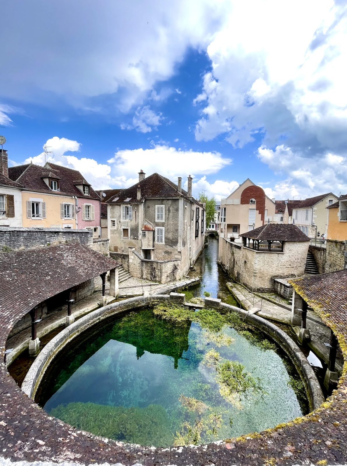
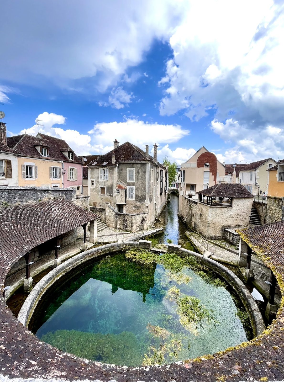
Continue along rue Saint-Nicolas. Turn left on rue du Général-Campenon. At the end, on the right, visit the Fosse Dionne. Continue along rue de l?Hôtel-de-Ville, then left on rue de l?Hôpital to Hôtel-Dieu. Cross the bridge and turn left to reach the station.
More hikes nearby
-
 Autour de Brancion
Martailly-lès-Brancion · Mâconnais
11.1 km · 283 m D+ · Loop
-
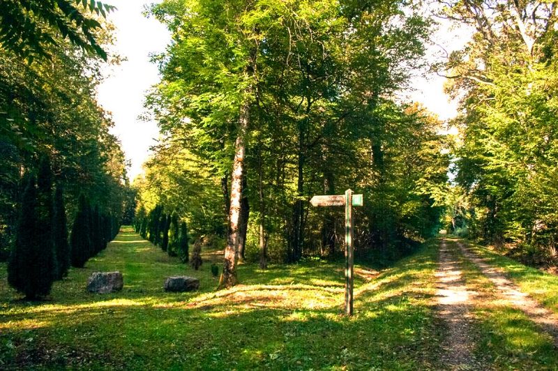 Bois des Fouchères
Recologne
14.6 km · 64 m D+ · Loop
-
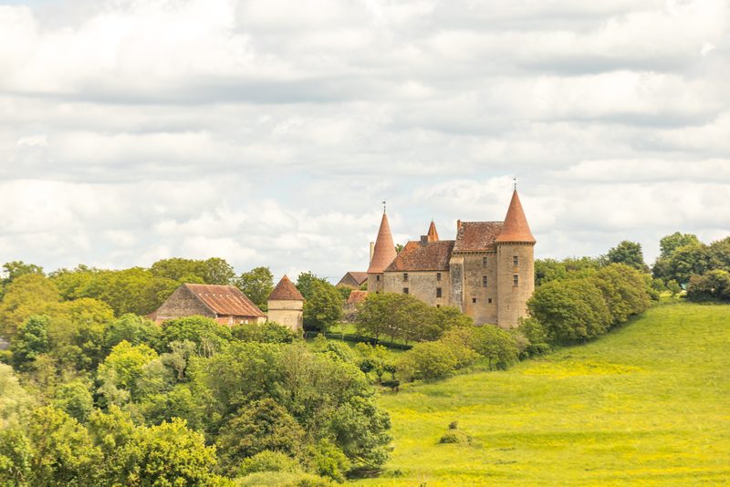 Boucle Gueugnon-Chassy
Gueugnon
11.4 km · 155 m D+ · Loop
-
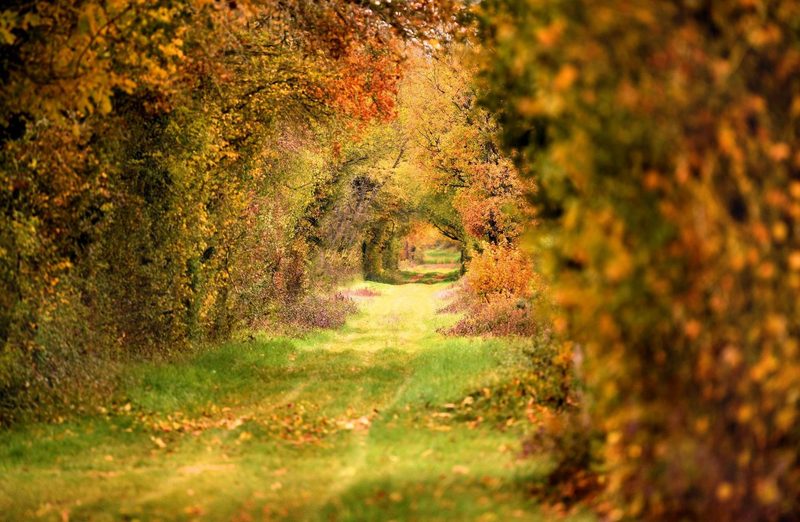 Chemin de la Romance
Lain · Puisaye
17.7 km · 227 m D+ · Loop
-
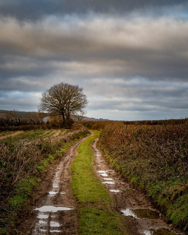 Chemin du Tacot
Alligny-en-Morvan · Morvan
7.5 km · 182 m D+ · Loop
-
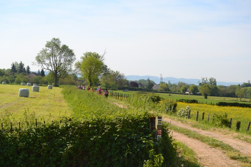 Chemins de la Jouvencelle
Saint-Gengoux-le-National · Côte chalonnaise
18.5 km · 383 m D+ · Loop