La rando du Tacot – 2 jours en itinérance
One way of 22.8 km with 368 m of climbing, starting from Saint-Laurent-en-Grandvaux.
- distance
- 22.8 km
- elevation gain
- 368 m
- high point
- 959 m
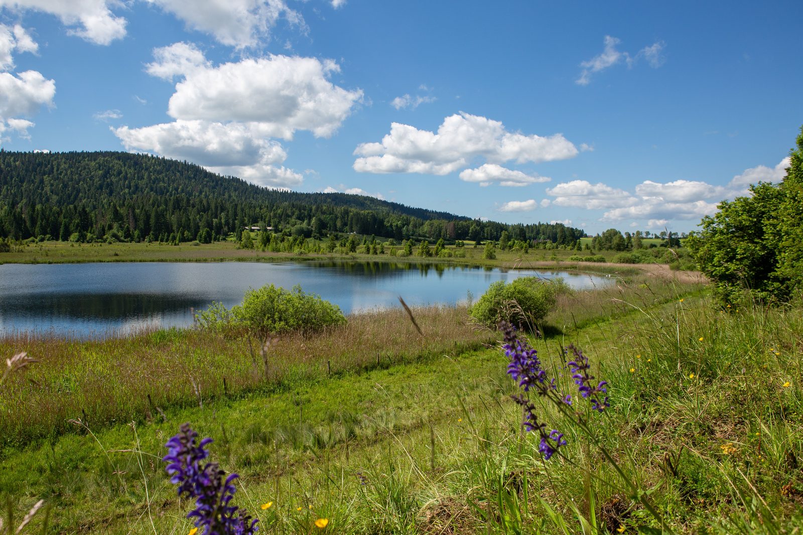
The hike
Roaming through the Haut-Jura! 2 days of hiking in the Haut-Jura.
Itinerary on foot or mountain bike, with arrival and departure by public transport: train or bus, in Saint-Laurent-en-Grandvaux.
For each overnight stay, we recommend that you book your accommodation in advance.
For further information, please contact the Haut-Jura Grandvaux tourist office.
Day 1 :
Saint-Laurent-en-Grandvaux / Lac-des-Rouges-Truites or Foncine-le-Bas
Approx. 7 km
Previous overnight stay possible at Ferme Léonie, La Pause ô Logis guest house or Le Champ de Mars campsite.
From the Saint-Laurent-en-Grandvaux train station, head NE through the village.
You'll be following part of the "Zed jurassien" itinerary, which takes you along the old tramway - a railroad line in service until the mid-20th century, now a carriage road ideal for hiking.
At the end of the day, discover the themed trail around the Lac-des-Rouges-Truites lake and peat bog, before fortifying yourself at the Camping de la Favière, Domaine du Bugnon or Le Marandon hotel-restaurant.
Day 2 :
Lac-des-Rouges-Truites / Pont de la Chaux
Approx. 14 km
This second day is more hilly than the first, and a little longer.
The route continues along the old tramway line to Foncine-le-bas, before returning to the impressive Gorges de la Langouette in the village of Les Planches-en-Montagne.
Through forests and paths, you'll find the hamlet of Pont de la Chaux, where the Ligne des Hirondelles, a daily SNCF train line, will take you back to the starting point. (Remember to check the timetable!)
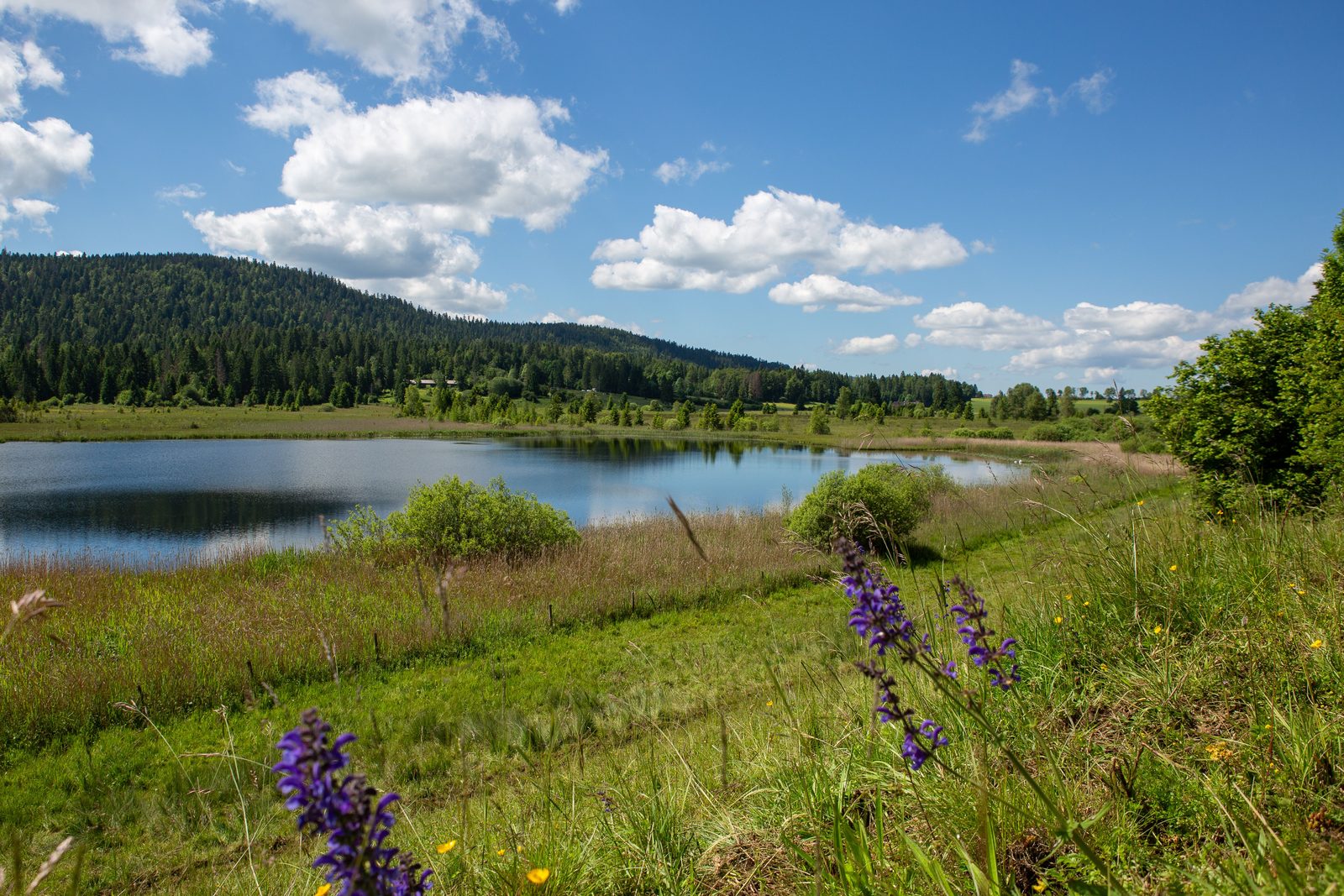
More hikes nearby
-
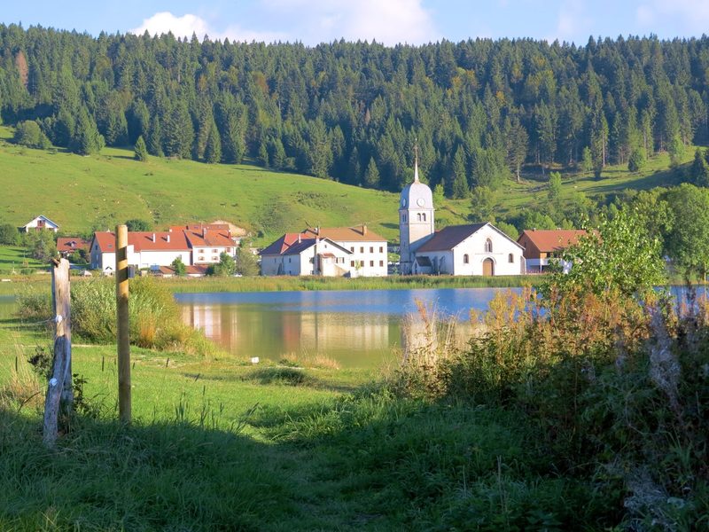 L'Échappée Grandvalliere – 3 jours en itinérance
Saint-Laurent-en-Grandvaux · Haut-Jura
47.9 km · 813 m D+ · One way
-
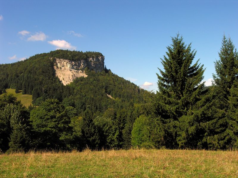 Le Mont Fier
Hauts de Bienne · Haut-Jura
9.0 km · 342 m D+ · Loop
-
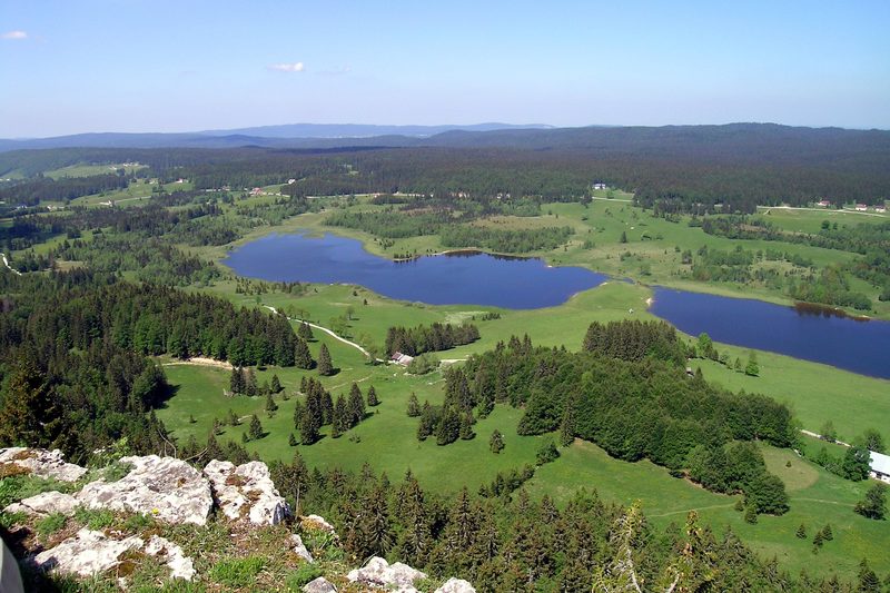 Roche Bernard et Roche Champion
Hauts de Bienne · Haut-Jura
15.5 km · 455 m D+ · Loop
-
 Autour de Brancion
Martailly-lès-Brancion · Mâconnais
11.1 km · 283 m D+ · Loop
-
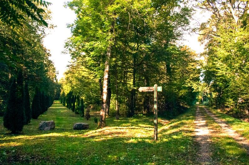 Bois des Fouchères
Recologne
14.6 km · 64 m D+ · Loop
-
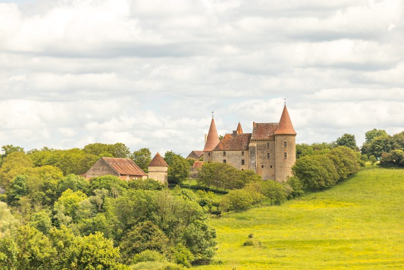 Boucle Gueugnon-Chassy
Gueugnon
11.4 km · 155 m D+ · Loop