Le Mont Fier
Loop of 9.0 km with 342 m of climbing, starting from Hauts de Bienne.
- distance
- 9.0 km
- elevation gain
- 342 m
- high point
- 1,297 m
The hike
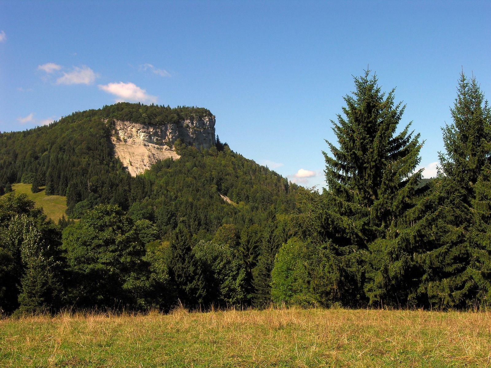
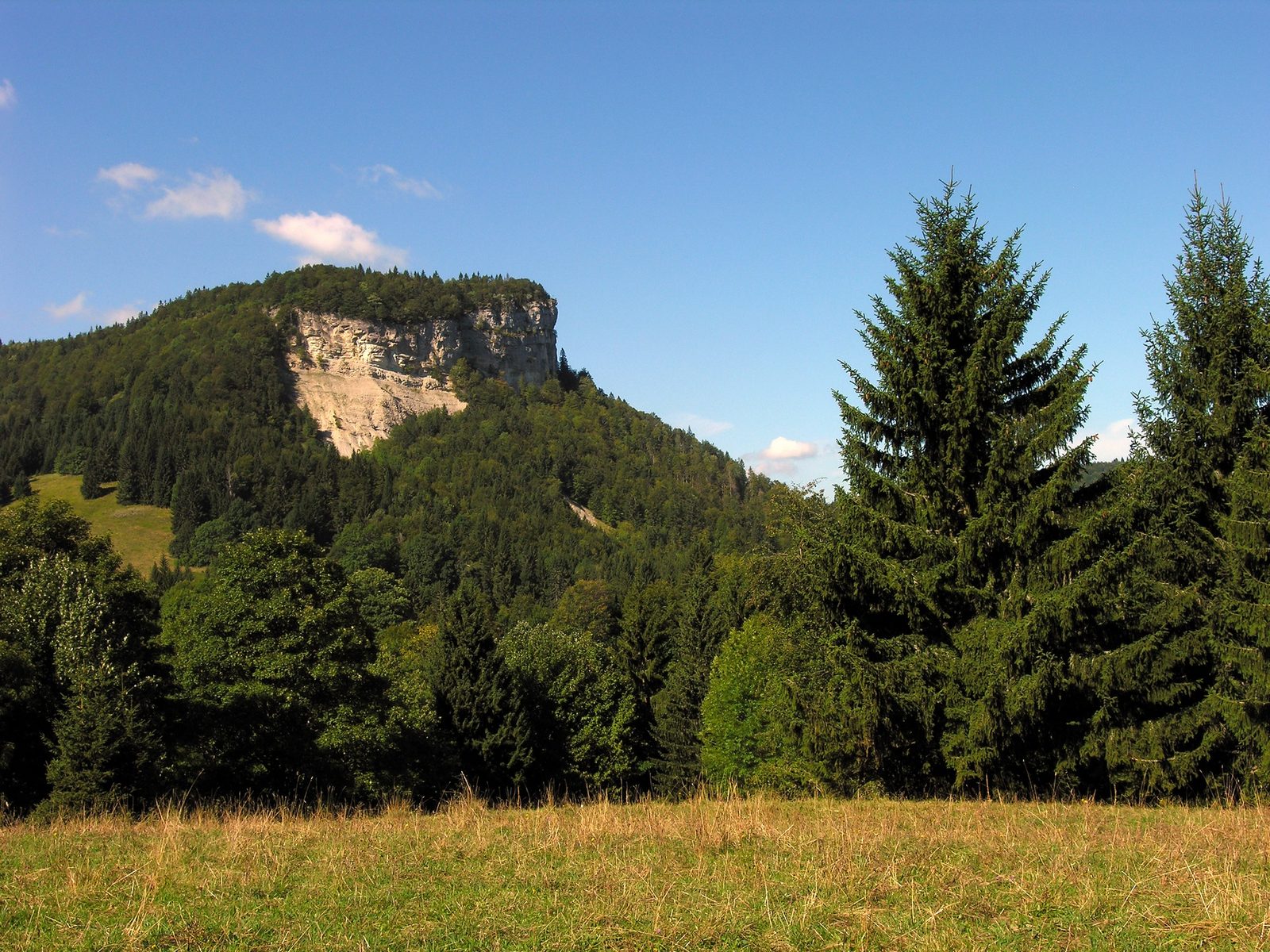
Discover Mont Fier, a singular summit perched at an altitude of 1282 m, where grandiose panoramas, wild nature and unique geological history meet, offering an unforgettable experience between lakes, valleys, Jura massifs and the aerial ballet of the peregrine falcon.
Overlooking the hamlets of Les Arcets and Les Rivières, Mont Fier offers a remarkable view of the Roche des Arcets, Lac des Rousses, the Orbe valley and the Noirmont and Dôle massifs. This summit is unique in that it escapes the rule of mountain formation: it is a unique example of the Jura perched syncline.
The name "Mont-Fier" is pronounced "Mont fié". The word "fié" appears to be a deformation of the old patois form of Beech (foya) or Fir (fia). For some researchers, "fié" means "wild". In any case, it seems that Mont Fier refers to a wild, wooded region?
More hikes nearby
-
 L'Échappée Grandvalliere – 3 jours en itinérance
Saint-Laurent-en-Grandvaux · Haut-Jura
47.9 km · 813 m D+ · One way
-
 La rando du Tacot – 2 jours en itinérance
Saint-Laurent-en-Grandvaux · Haut-Jura
22.8 km · 368 m D+ · One way
-
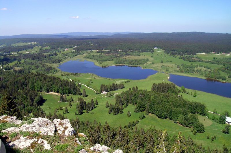 Roche Bernard et Roche Champion
Hauts de Bienne · Haut-Jura
15.5 km · 455 m D+ · Loop
-
 Autour de Brancion
Martailly-lès-Brancion · Mâconnais
11.1 km · 283 m D+ · Loop
-
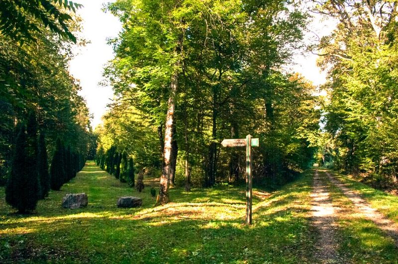 Bois des Fouchères
Recologne
14.6 km · 64 m D+ · Loop
-
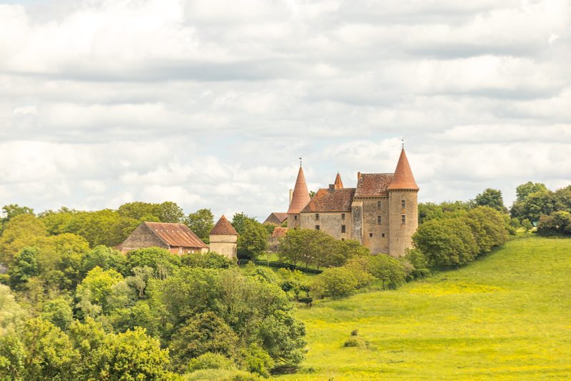 Boucle Gueugnon-Chassy
Gueugnon
11.4 km · 155 m D+ · Loop