Roche Bernard et Roche Champion
Loop of 15.5 km with 455 m of climbing, starting from Hauts de Bienne.
- distance
- 15.5 km
- elevation gain
- 455 m
- high point
- 1,345 m
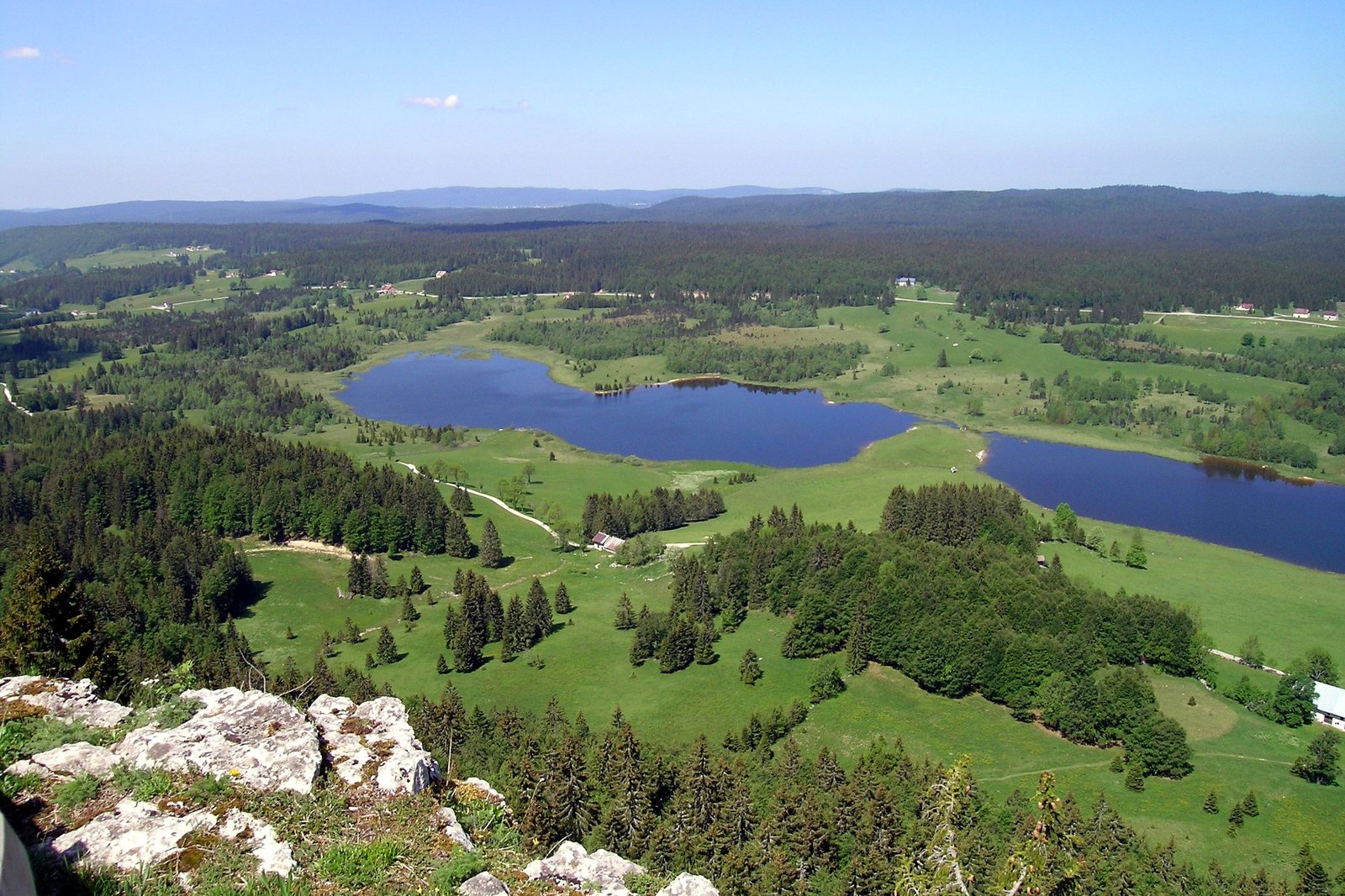
The hike
Come and experience one of the most beautiful hikes in the Haut-Jura: between France and Switzerland, marvel at grandiose panoramas, sparkling lakes and deep forests, for an intense day of discovery and escape.
Along the way, you'll pass along the Franco-Swiss border, which stretches along the Risoux ridge line and has been a place of passage and exchange for centuries.
You'll also pass by the "Gît de l'échelle": "gîts" are steep paths where the timber harvested on the Risoux was dumped, but they were also used as crossing points on the way to Switzerland.
Despite its steepness, the Gît de l'Échelle was used by resistance fighters, intelligence agents and Jewish families during the Second World War, thanks to the daring and courage of local, French and Swiss smugglers.
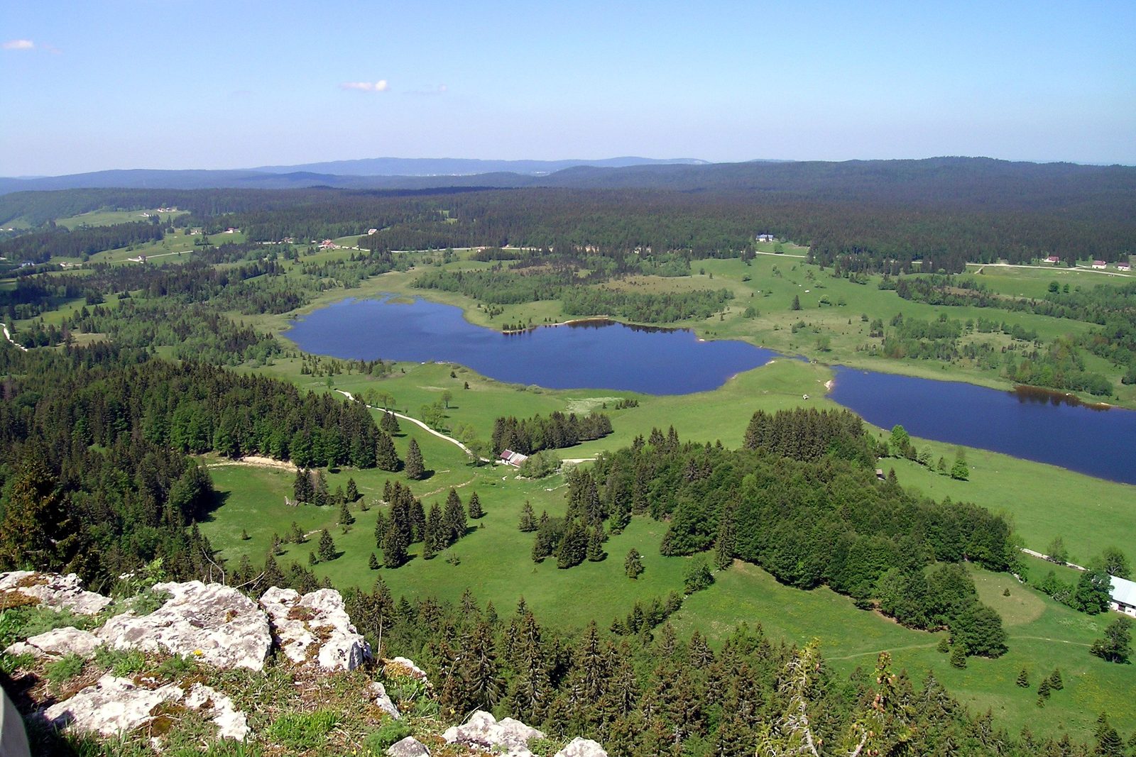
More hikes nearby
-
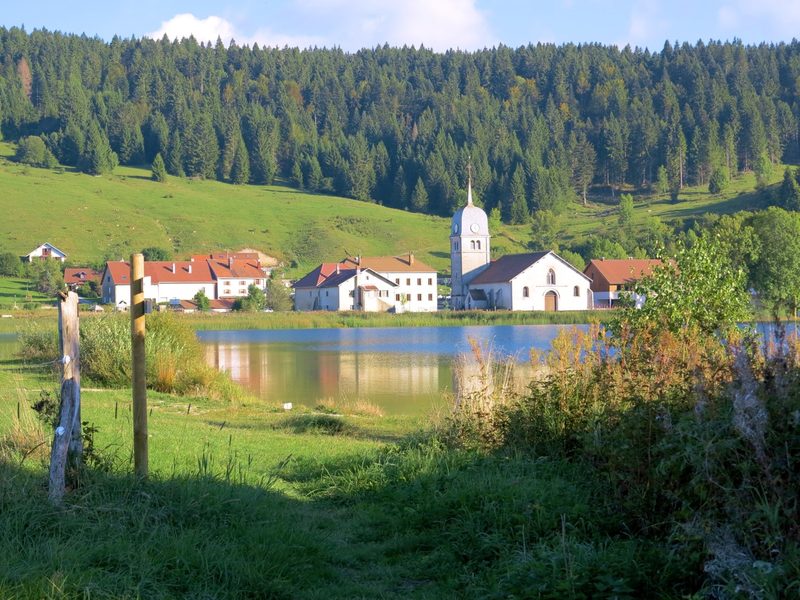 L'Échappée Grandvalliere – 3 jours en itinérance
Saint-Laurent-en-Grandvaux · Haut-Jura
47.9 km · 813 m D+ · One way
-
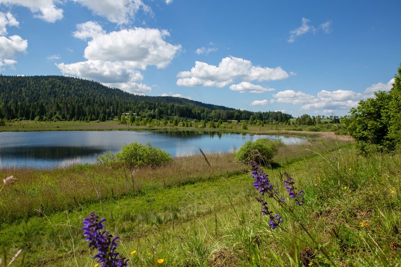 La rando du Tacot – 2 jours en itinérance
Saint-Laurent-en-Grandvaux · Haut-Jura
22.8 km · 368 m D+ · One way
-
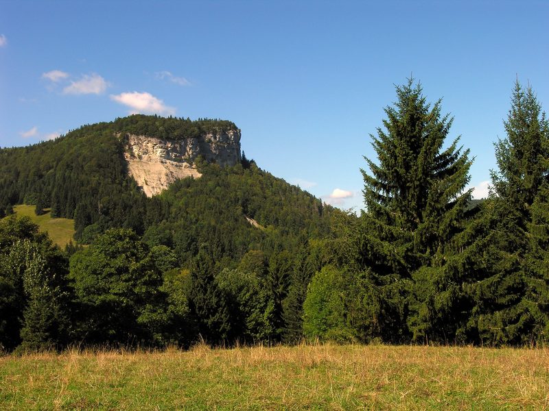 Le Mont Fier
Hauts de Bienne · Haut-Jura
9.0 km · 342 m D+ · Loop
-
 Autour de Brancion
Martailly-lès-Brancion · Mâconnais
11.1 km · 283 m D+ · Loop
-
 Bois des Fouchères
Recologne
14.6 km · 64 m D+ · Loop
-
 Boucle Gueugnon-Chassy
Gueugnon
11.4 km · 155 m D+ · Loop