Le Mont du Chanois
Loop of 10.7 km with 198 m of climbing, starting from Échenoz-le-Sec.
- distance
- 10.7 km
- elevation gain
- 198 m
- high point
- 465 m
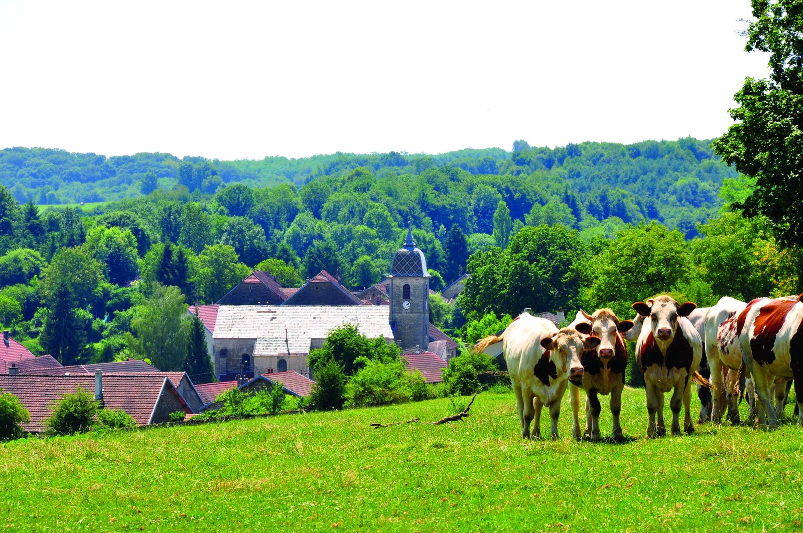
The hike
From the village square, leave the church on your right and go straight ahead for a few metres. Turn right into rue d?Agélène, then right again into rue de la Béquinière. Follow the road for about a kilometer, then turn right at the edge of the wood.
At the edge of the wood, leave the ridge and turn right along a forest line. Keep to the right until you come out of the wood. The path turns into a farm track and takes you back to the village.
At the stop sign, turn left onto the main road, then right up Rue de la Chaille. Leave the sheepfold on your right, while the view over the Ognon valley opens up. Shortly after entering the Bois du Chanois, turn right, then left at the next two crossroads. Follow the Mont du Chanois ridge for around 700 m, then turn right to return to the village.
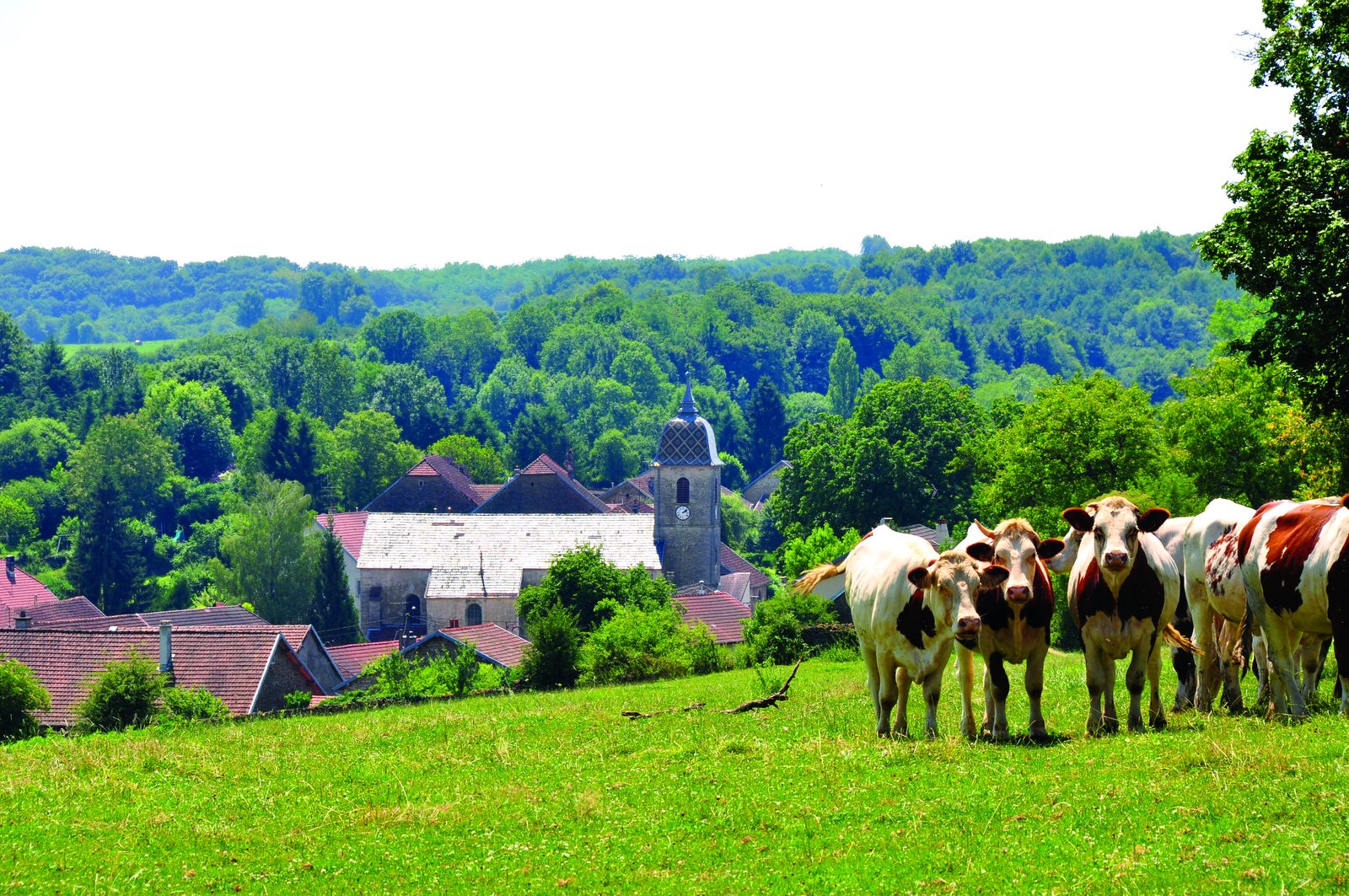
4? 300 m after leaving the woods, take a small grassy path on your right, offering a lovely view of the village and its Comtois bell tower. Reach the town hall square.
More hikes nearby
-
 Autour de Brancion
Martailly-lès-Brancion · Mâconnais
11.1 km · 283 m D+ · Loop
-
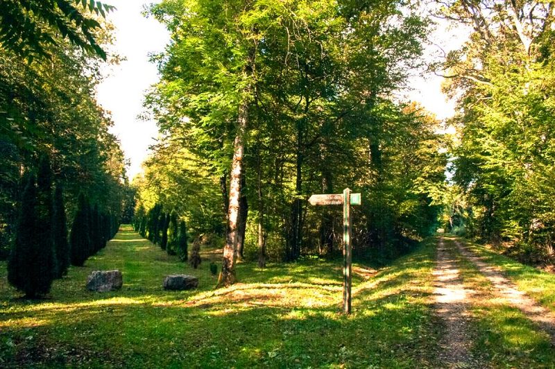 Bois des Fouchères
Recologne
14.6 km · 64 m D+ · Loop
-
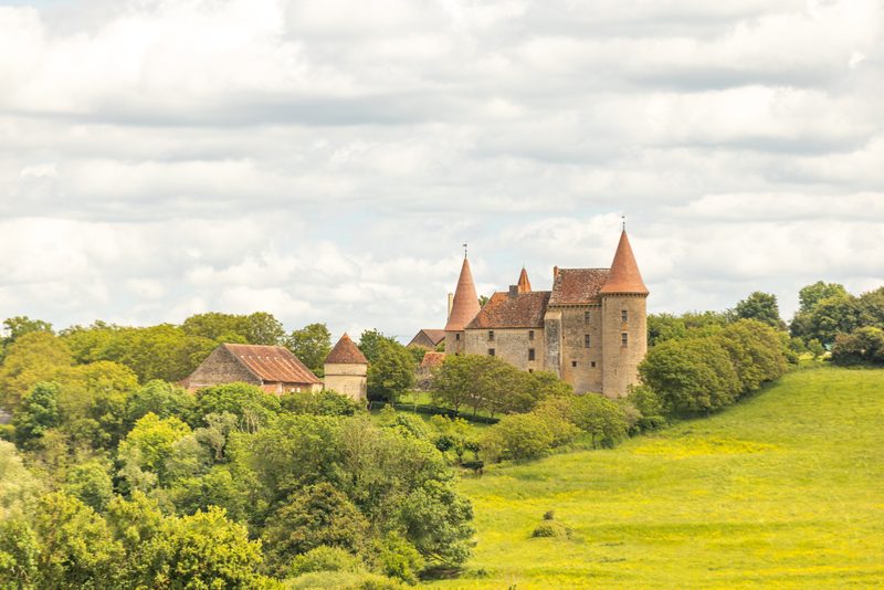 Boucle Gueugnon-Chassy
Gueugnon
11.4 km · 155 m D+ · Loop
-
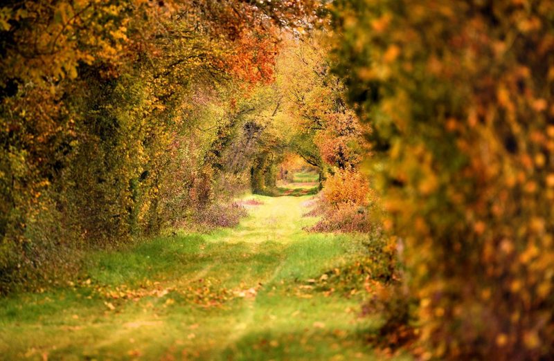 Chemin de la Romance
Lain · Puisaye
17.7 km · 227 m D+ · Loop
-
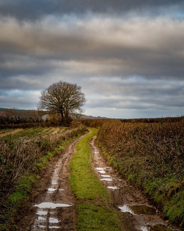 Chemin du Tacot
Alligny-en-Morvan · Morvan
7.5 km · 182 m D+ · Loop
-
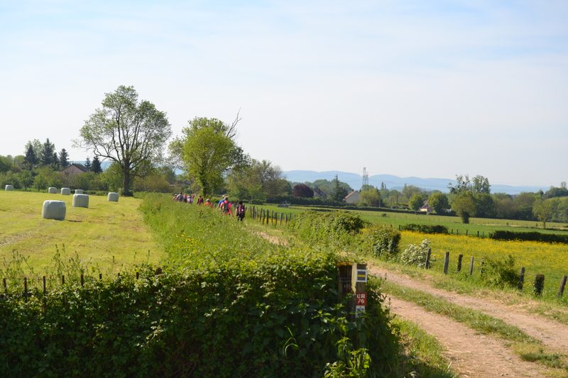 Chemins de la Jouvencelle
Saint-Gengoux-le-National · Côte chalonnaise
18.5 km · 383 m D+ · Loop